photogrammetry invention of photography - tÜrkÇecors-tr.iku.edu.tr/konecny/photogrammetry...
TRANSCRIPT
1
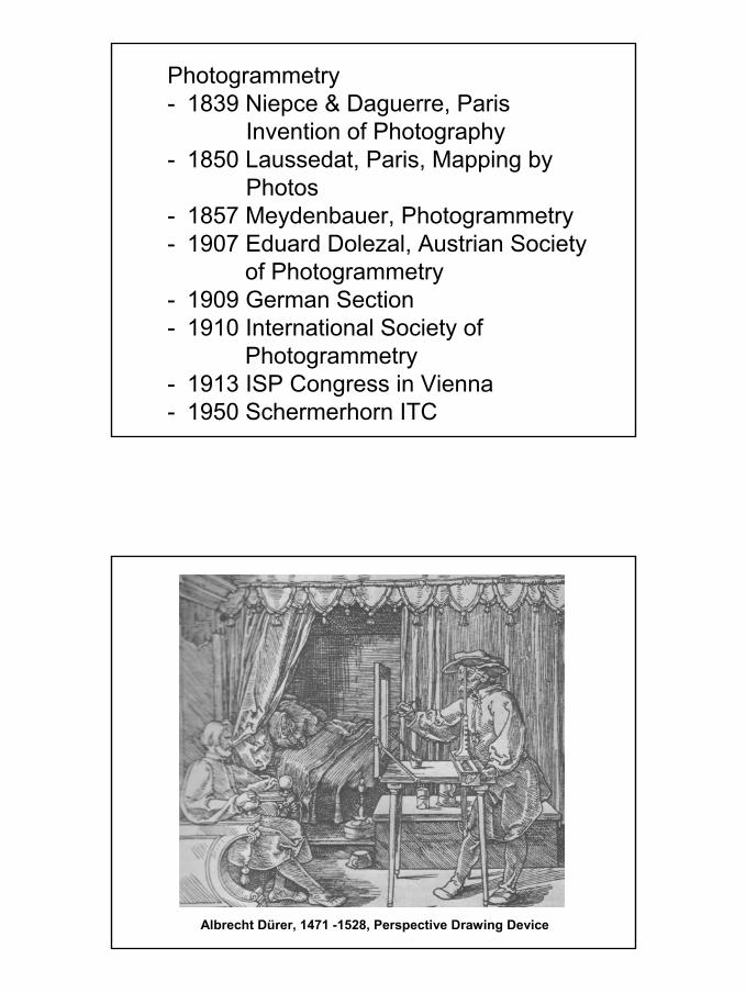
Photogrammetry- 1839 Niepce & Daguerre, Paris
Invention of Photography- 1850 Laussedat, Paris, Mapping by
Photos- 1857 Meydenbauer, Photogrammetry- 1907 Eduard Dolezal, Austrian Society
of Photogrammetry- 1909 German Section- 1910 International Society of
Photogrammetry- 1913 ISP Congress in Vienna- 1950 Schermerhorn ITC
Albrecht Dürer, 1471 -1528, Perspective Drawing Device
2
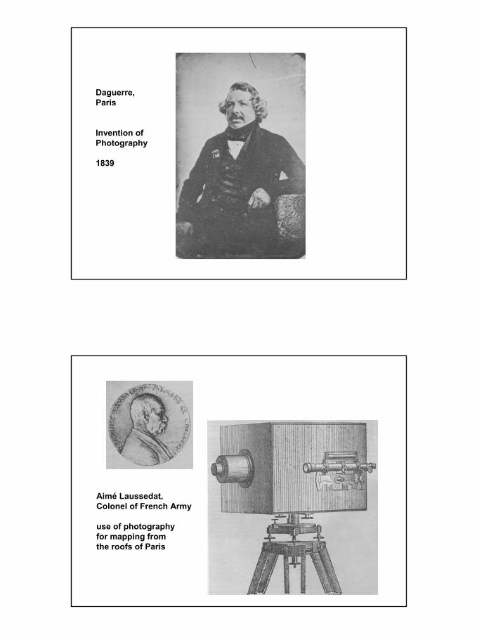
Daguerre,Paris
Invention ofPhotography
1839
Aimé Laussedat,Colonel of French Army
use of photographyfor mapping fromthe roofs of Paris
3
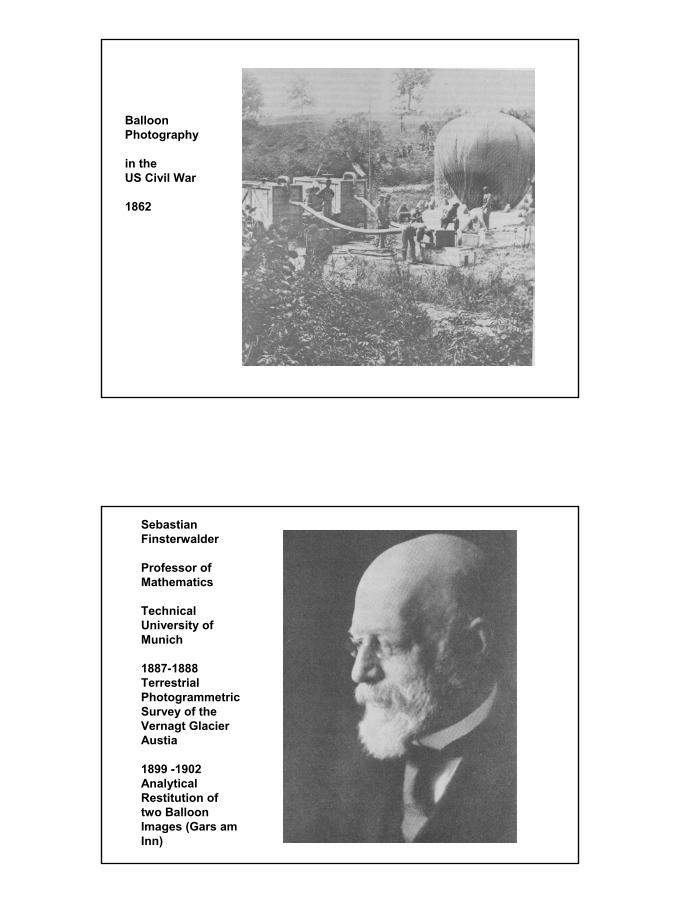
BalloonPhotography
in theUS Civil War
1862
SebastianFinsterwalder
Professor of Mathematics
TechnicalUniversity ofMunich
1887-1888TerrestrialPhotogrammetricSurvey of theVernagt GlacierAustia
1899 -1902AnalyticalRestitution oftwo BalloonImages (Gars amInn)
4
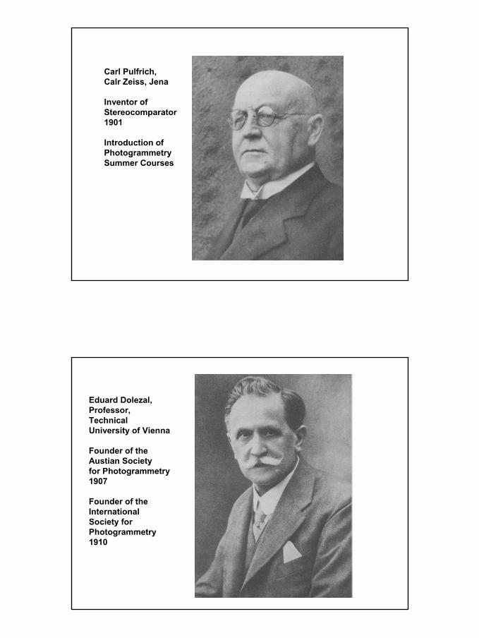
Carl Pulfrich,Calr Zeiss, Jena
Inventor ofStereocomparator1901
Introduction ofPhotogrammetrySummer Courses
Eduard Dolezal,Professor,TechnicalUniversity of Vienna
Founder of theAustian Society for Photogrammetry1907
Founder of theInternationalSociety forPhotogrammetry1910
5
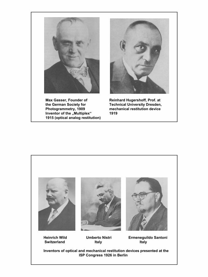
Max Gasser, Founder of Reinhard Hugershoff, Prof. atthe German Society for Technical University Dresden, Photogrammetry, 1909 mechanical restitution deviceInventor of the „Multiplex“ 19191915 (optical analog restitution)
Heinrich Wild Umberto Nistri Ermeneguildo SantoniSwitzerland Italy Italy
Inventors of optical and mechanical restitution devices presented at theISP Congress 1926 in Berlin
6
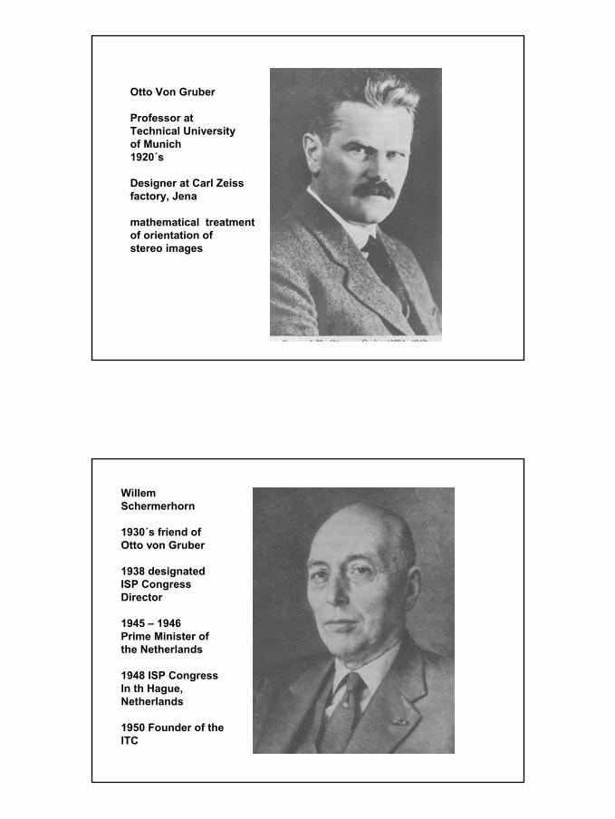
Otto Von Gruber
Professor atTechnical Universityof Munich1920´s
Designer at Carl Zeissfactory, Jena
mathematical treatmentof orientation ofstereo images
WillemSchermerhorn
1930´s friend ofOtto von Gruber
1938 designatedISP CongressDirector
1945 – 1946Prime Minister ofthe Netherlands
1948 ISP CongressIn th Hague,Netherlands
1950 Founder of theITC
7
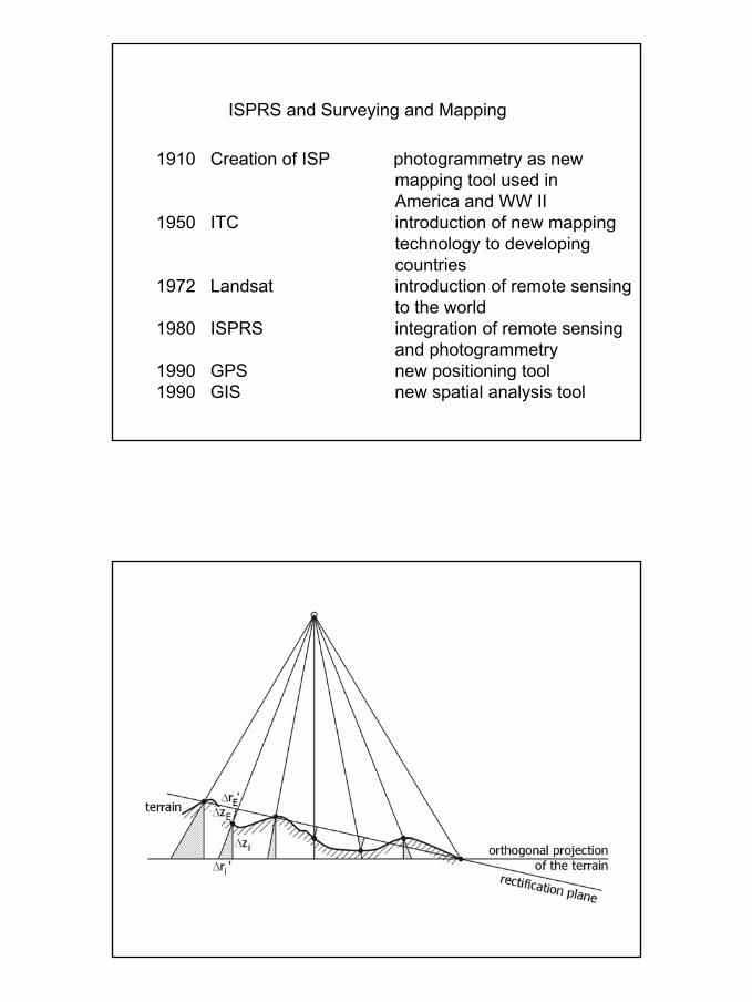
ISPRS and Surveying and Mapping
1910 Creation of ISP photogrammetry as newmapping tool used inAmerica and WW II
1950 ITC introduction of new mappingtechnology to developingcountries
1972 Landsat introduction of remote sensingto the world
1980 ISPRS integration of remote sensingand photogrammetry
1990 GPS new positioning tool1990 GIS new spatial analysis tool
8
9
10
11
12
13
14
15
16
17
18
19
20
21
22
23
24
25
26
27

28
29
30
31
32
33
34
35
36
37
38
39
40
41
42
43
44
45
46
47
48
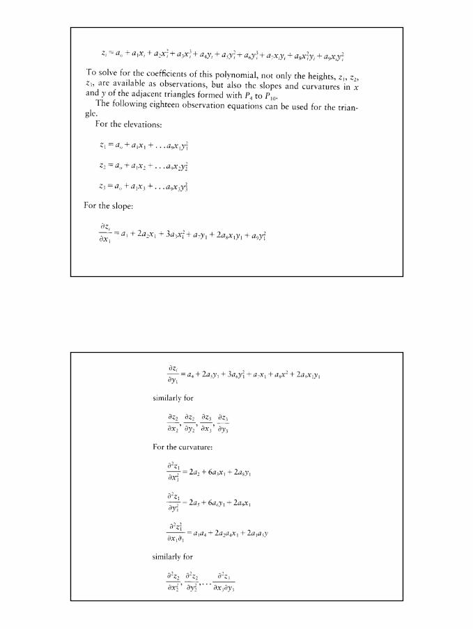
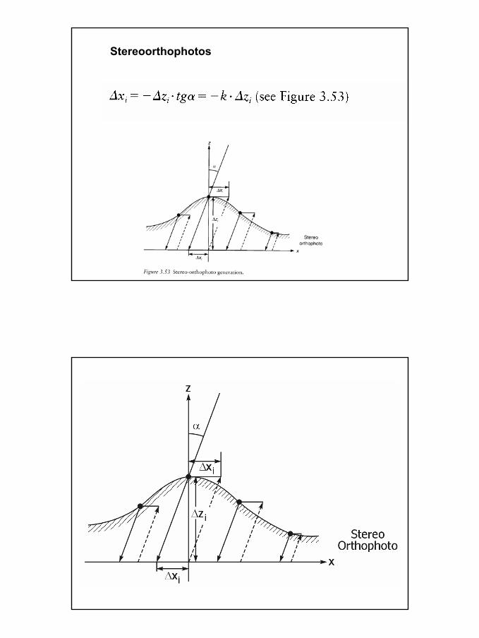
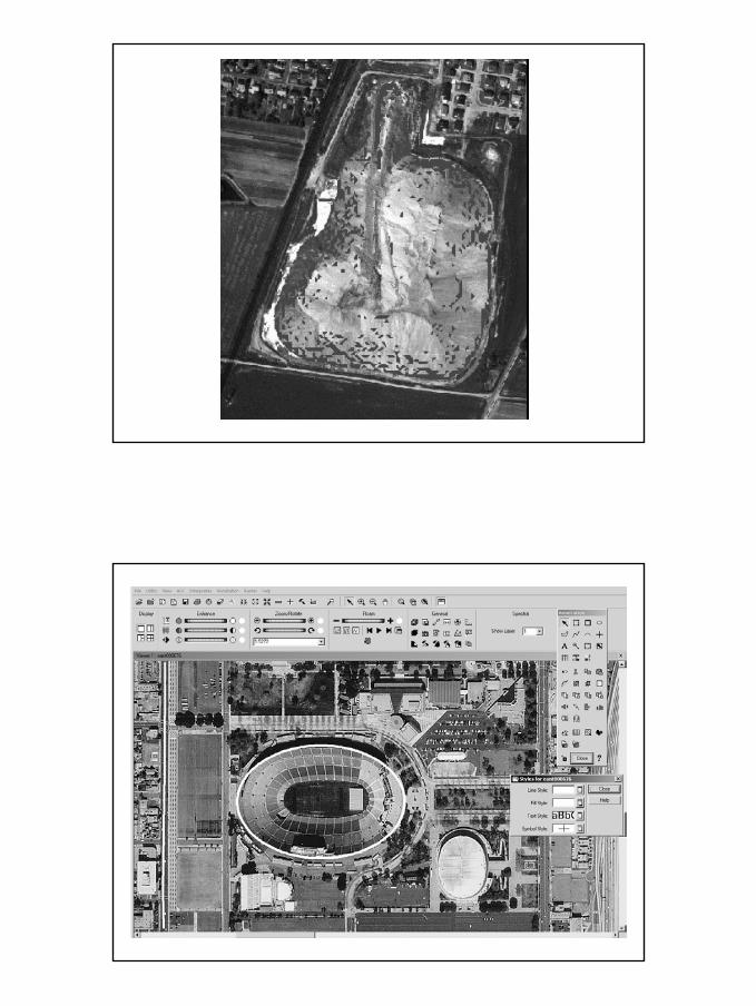
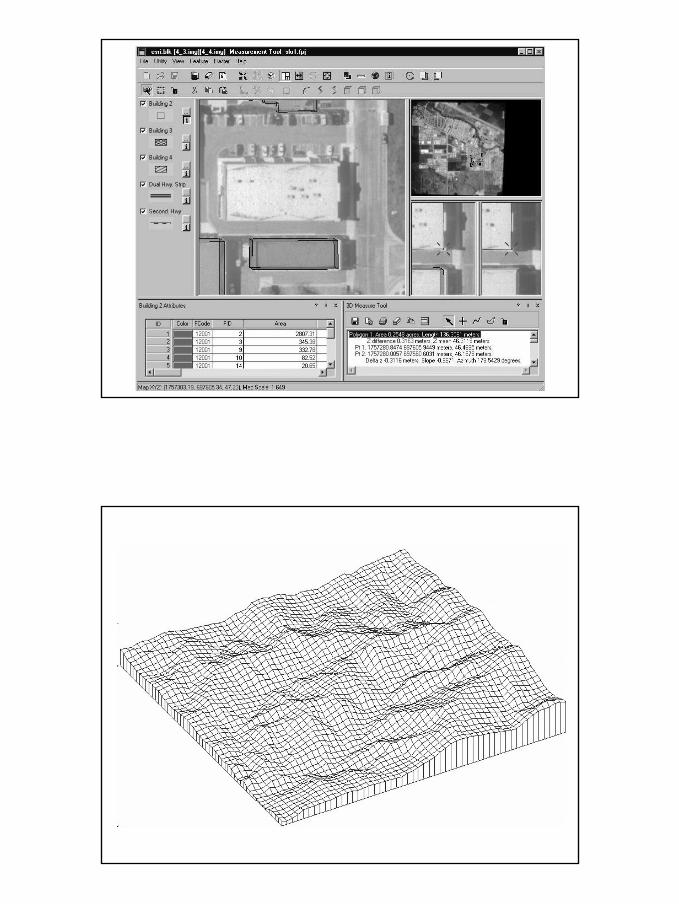
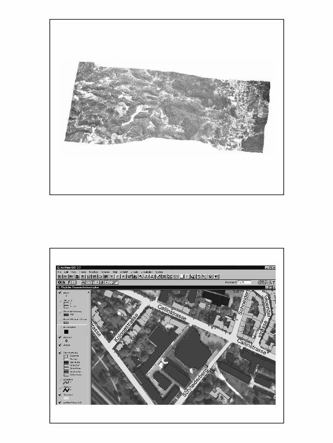
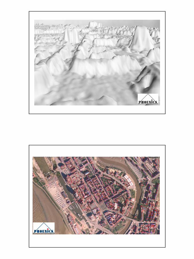
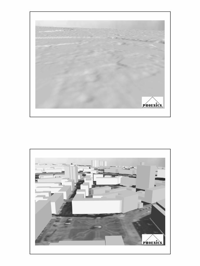
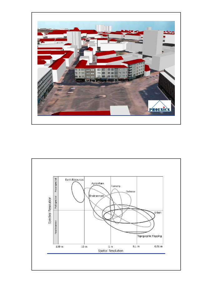
Stereoorthophotos
49
50
51
52
53
54
55
56
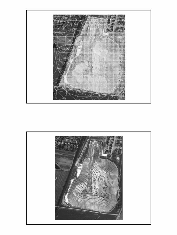
Comparisons Line Mapping – Orthophoto Mapping
Cost considerations 2006:
- German Labour and Eqipment Overhead Costs in black
- Chinese Labour Costs (and no Equipment Overhead Costsin China, as the HW/SW is donated to the enterprises bythe government) in red(this is why Indian costs are higher than the Chinese)
Compiled by Gottfried Konecny, University of Hannover, Germany
Orthophoto Mapping versus Line Mapping - Costs
1. Aerial Photography:constant fee of $5000 in season
$3000 out of season10$ per image (in China: 4 bis 30$ per image 1:12 000 to 1:5000)
2. Scanning of aerial photos15$ per image
(in China: 2 bis 4 $ per imageo (BW to color)
3. Aerial Triangulation
25$ per image (in China: 8 $ per image)
57
Photogrammetric Costs (cont‘d)
4. Digital Elevation Model via Image Correlation
120$ per image (in China 10 $ per image)
5. Digital Orthophoto Production
30$ per image (in China 3 $ per image)
6. Matching and Mosaicking of Orthophotos20$ per image (in China 2 $ per image)
7. Vectorization in 2 or 3Drural area at 10hrs. (8 hrs) per imageurban area at 100hrs. (16 hrs) per image(40$ per hr. in Germany, (15$) 25$ per hr. in China or India)
Costs for a City Map, 250 km²
Imaged at 20cm ground pixels, 15µm, scale 1:13 333
1. Aerial photography83 photos $ 4830
2. Scanning $ 12453. Aerial Triangulation $ 20754. DEM $ 99605. Digital Orthophoto $ 24906. Matching of Orthophotos $ 1660
Total Orthophoto Cost $ 22 260On screen digitizing $ 124 500Grand Total $ 146 760
58
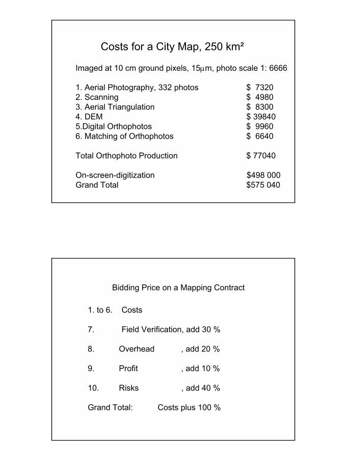
Costs for a City Map, 250 km²
Imaged at 10 cm ground pixels, 15µm, photo scale 1: 6666
1. Aerial Photography, 332 photos $ 73202. Scanning $ 49803. Aerial Triangulation $ 83004. DEM $ 398405.Digital Orthophotos $ 99606. Matching of Orthophotos $ 6640
Total Orthophoto Production $ 77040
On-screen-digitization $498 000Grand Total $575 040
Bidding Price on a Mapping Contract
1. to 6. Costs
7. Field Verification, add 30 %
8. Overhead , add 20 %
9. Profit , add 10 %
10. Risks , add 40 %
Grand Total: Costs plus 100 %
59
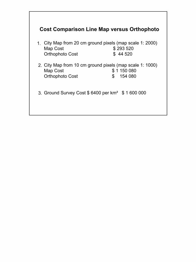
Cost Comparison Line Map versus Orthophoto
City Map from 20 cm ground pixels (map scale 1: 2000)Map Cost $ 293 520Orthophoto Cost $ 44 520
City Map from 10 cm ground pixels (map scale 1: 1000)Map Cost $ 1 150 080Orthophoto Cost $ 154 080
Ground Survey Cost $ 6400 per km² $ 1 600 000
1.
2.
3.