political maps reino la puebla
TRANSCRIPT

CHARACTERISTICS OF MAPS:-Objects on maps are represented using SYMBOLS. The meaning of these symbols is explained in a KEY.
-Maps include a compass rose that shows cardinal directions.-Maps have a scale. A scale shows the relationship between the distances on the map and the actual (real) distances on the Earth.
(NORTH, SOUTH, EAST, WEST)

COMPASS ROSE
SYMBOLS & KEY
SCALE

POLITICAL MAPS: they show countries, their borders and capital cities.
COUNTRIES
BODERS
CAPITAL CITY

GEOGRAPHIC COORDINATES:To describe geographical locations on Earth, we use a system of imaginary lines called parallels and meridians.Parallels are circular lines that go around the Earth from East to West. The longest parallel, the Equator, divides the Earth into the northern hemisphere and the southern hemisphere. LATITUDE is the distance in degrees from the Equator (0º).Meridians are circular lines that go from North to South and pass throuth the poles. Meridians are the same lenght. The Prime Meridian, also called the Greenwich Meridian, divides the Earth into the eastern hemisphere and the western hemisphere. LONGITUDE is the distance in degrees from the Prime Meridian (0º).

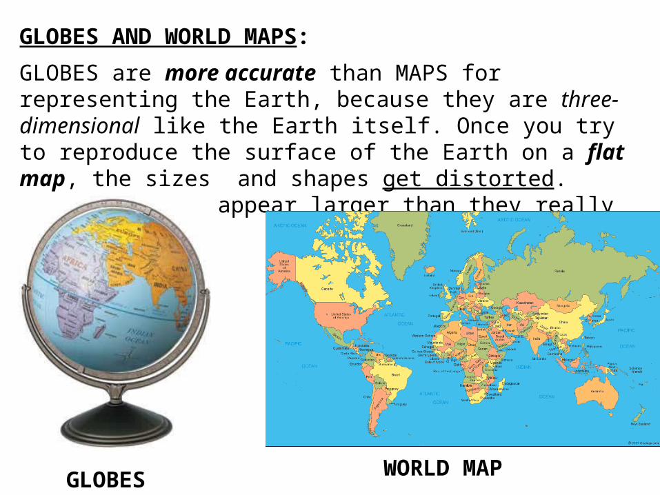
GLOBES AND WORLD MAPS:GLOBES are more accurate than MAPS for representing the Earth, because they are three-dimensional like the Earth itself. Once you try to reproduce the surface of the Earth on a flat map, the sizes and shapes get distorted. Some countries appear larger than they really are.
GLOBES WORLD MAP