road design - environmental science & · pdf filefrom fhwa and state dots, also from...
TRANSCRIPT

Road DesignSusan Handy
TTP Orientation SeminarOctober 2015

Level Agencies Primary concern
Primary role
Federal FHWAFTA
National Highway System
FundingPolicy
State DOT Highways outside metro areas
PlanningBuildingOperating
Regional MPOTransit
Highways, transit within metro areas
Planning
Local PlanningPublic Works
Local streets
PlanningBuildingOperating
Road Design in the U.S.
Manuals and Guidelines from FHWA and state DOTs, also from… AASHTO – American
Association of State Highway and Transportation Officials
ITE – Institute of Transportation Engineers
NACTO – National Association of City Transportation Officials

Topics
• Network design• Facility design• Plus others
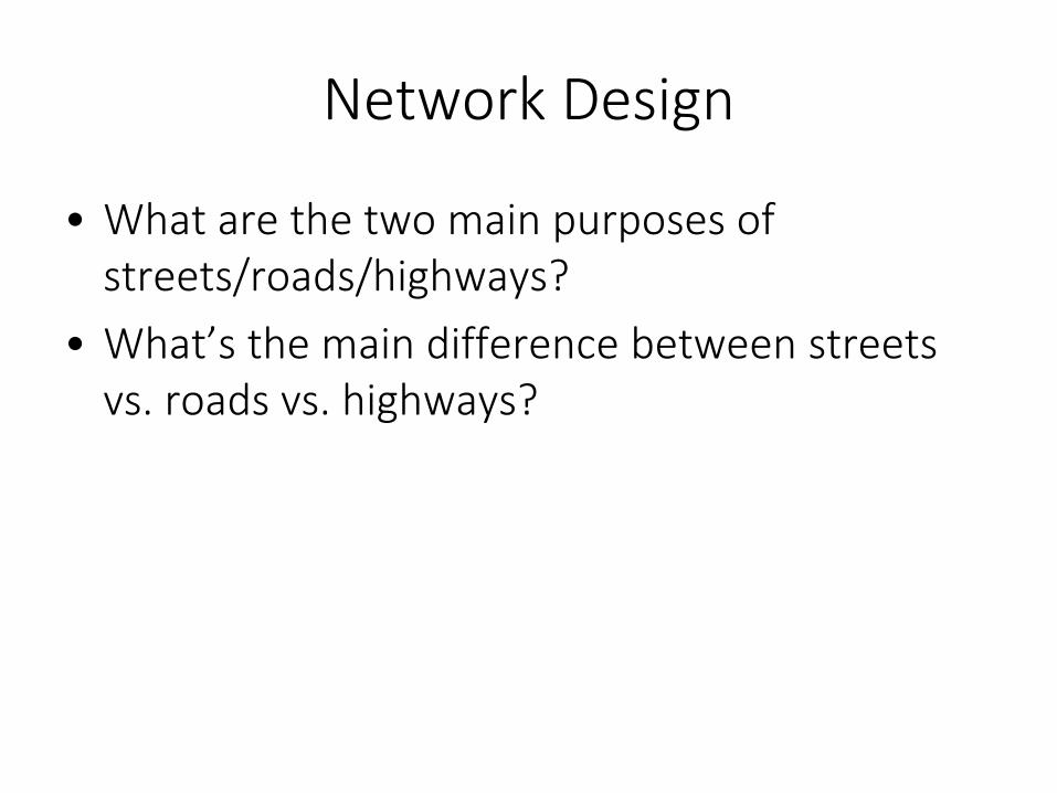
Network Design
• What are the two main purposes of streets/roads/highways?
• What’s the main difference between streets vs. roads vs. highways?

Source: http://ops.fhwa.dot.gov/access_mgmt/what_is_accsmgmt.htm
The Road Hierarchy


National Committee on Urban Transportation, 1958

City of Sunnyvale, 1957

ITE Street Layout Principles, 1984

City of Austin, Comprehensive Plan, 1994


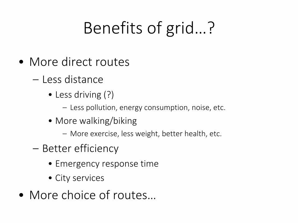
Benefits of grid…?
• More direct routes – Less distance
• Less driving (?)– Less pollution, energy consumption, noise, etc.
• More walking/biking– More exercise, less weight, better health, etc.
– Better efficiency• Emergency response time• City services
• More choice of routes…

Connectivity MeasuresSource: Peter Owens

Source: Handy, Paterson, and Butler 2003

Source: Handy, Paterson, and Butler 2003

Source: http://www.fotosearch.com/photos-images/cul-de-sac.html

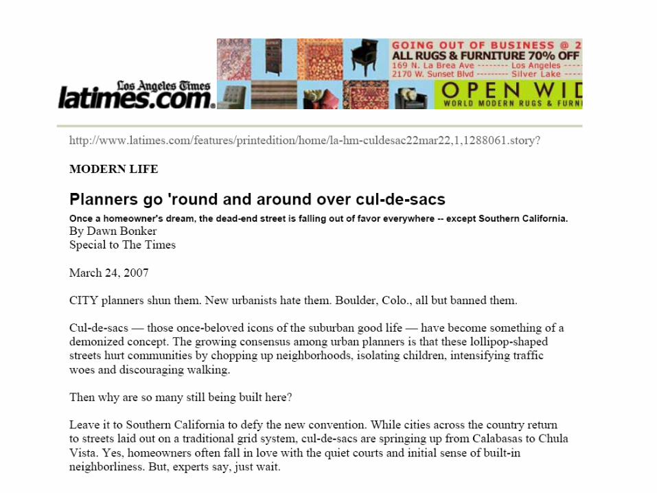


http://www.citylab.com/housing/2013/10/sociologists-defense-cul-de-sac/7262/

Berkeley Diverters
Source: http://www.ci.berkeley.ca.us/transportation/Bicycling/BB/BicycleBoulevardTreatments.html

Village Homes, Davis
Source: Google Maps

Davis Greenbelt System

Source: Google Maps
Houten, Netherlands

Source: Google Maps
Let’s see some images from Susan’s visit in September 2012…


Facility DesignResponsibility Influence
Local Streets Cities and counties
ITE –Institute of TransportationEngineers
Highways and Freeways
State DOTs AASHTO –American Association of State Highway Officials

Institute of Transportation Engineers

http://www.ite.org/bookstore/RP-011C.pdf
Right-of Way – Cross-Section

http://www.ite.org/bookstore/RP-011C.pdf
Specified Dimensions for ROW

https://bookstore.transportation.org/item_details.aspx?ID=110
The Green Book

Wide Streets
All over Davis, and elsewhere
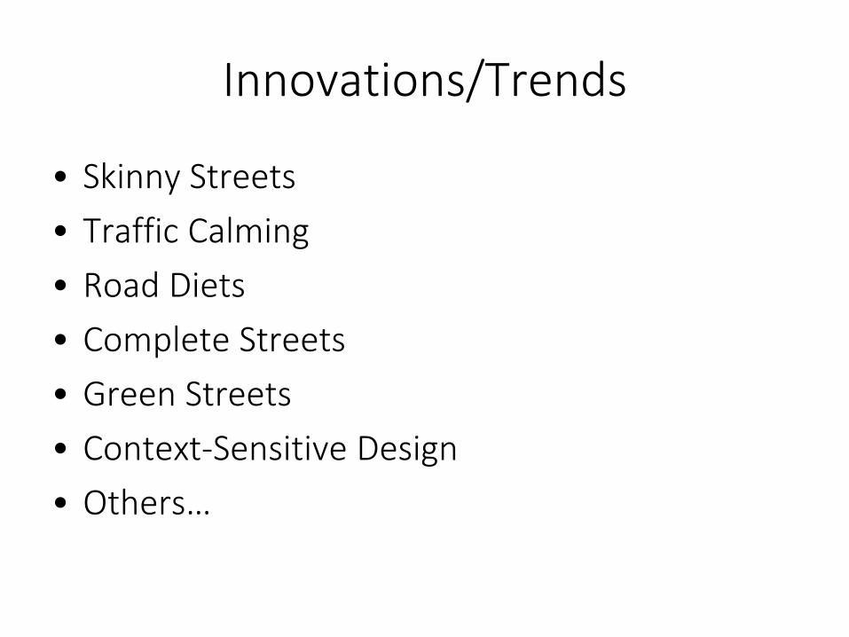
Innovations/Trends
• Skinny Streets• Traffic Calming• Road Diets• Complete Streets• Green Streets• Context-Sensitive Design• Others…

Skinny Streets
Canyon Rim Village, Medford
http://darkwing.uoregon.edu/~cpw/projects/pdf/featured/tgm_2003/powerpoints/366,11,Narrow Streets

Traffic Calming
"Traffic calming is the combination of mainly physical measures that reduce the negative effects of motor vehicle use, alter driver behavior and improve conditions for non-motorized street users."
- ITE Subcommittee on Traffic Calming

Types of Traffic Calming
Speed Control Measures
Volume Control Measures
DivertersRestrictions
Vertical deflectionspeed bumpsraised crosswalks
Horizontal deflectiontraffic circleschicanes
Horizontal narrowingbulb-outs, neck-downs, curb extensions

Speed bump
Raised crosswalk
Traffic circle
Chicanes
Bulb-outs

Woonerfs – Home Zones

Road Diet
Source: http://www.buryinc.com/blog/2012/08/10/the-road-diet/

Road Diet
Source: http://www.bicycletucson.com/news/university-bikeped-study-released/13438

Fifth Street Road Diet in Davis: Many years in the making!

Complete Streets
http://la.streetsblog.org/wp-content/uploads/2008/10_06/10_8_08_complete_streets.jpg

Complete Streets
Source: http://www.metrojacksonville.com/article/2010-mar-complete-streets-policy-to-impact-jacksonville

Green Streets
Marcy McInelly, SERA/Urbsworks

Green Streets
Sources: www.museumofthecity.org; http://www.mwcog.org/transportation/weeklyreport/2013/06-04.asp

National Association of City Transportation Officials

Institute of Transportation Engineers

“Context-Sensitive Design”

Source: http://www.dot.ca.gov/hq/oppd/context/main-streets-flexibility-in-design.pdf

Texas-Style

Sources: http://www.slate.com/articles/life/transport/features/2010/unbuilt_highways/san_francisco_the_embarcadero_freeway.html
Freeway Removal

Road Design Conundrum
Crash risks minimized but high speeds
Crash risks remain but low speeds
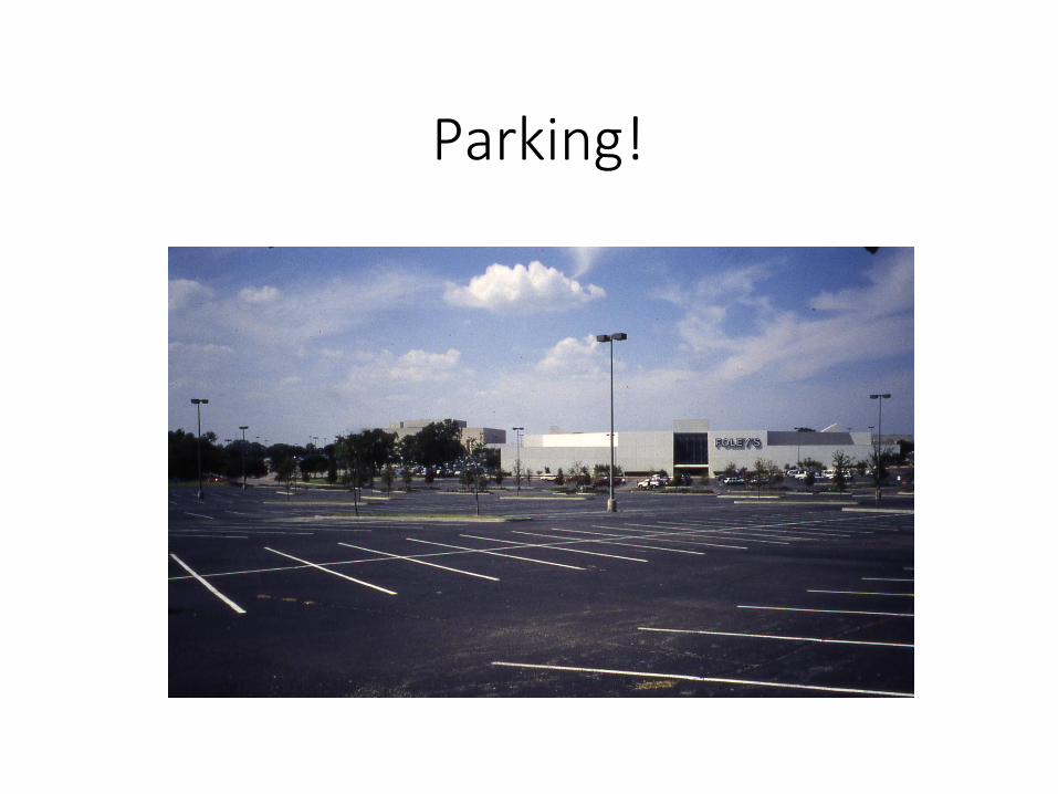
Parking!

Parking Problems
• Minimum parking requirements for residential and commercial development, in zoning codes– Excess parking and thus pavement
and thus heat, run-off, etc.
• Free curbside parking in central business districts– Excess driving – “cruising” to find
spaces – and thus emissions See Don Shoup’s work!

Traffic Management
• Approaches:– Traffic control devices to
regulate behavior– Roadway design to shape
behavior
• Goals: – Safety– Efficiency– Plus livability!

Source: http://mutcd.fhwa.dot.gov/pdfs/2003r1/pdf-index.htm
MUTCD

MUTCD Principles
• Purpose is “… to promote highway safety and efficiency by providing for the orderly movement of all road users… throughout the Nation…”
• “The decision to use a particular device at a particular location should be made on the basis of either an engineering study or engineering judgment…”
• Not a legal requirement• Not a substitute for engineering judgment

Speed Limits
• MUTCD section 2B-10 (update: 2B-13) requires that the numeric value be determined on basis of an engineering study. The following factors should be considered:1. Road surface characteristics, shoulder condition, grade, alignment and
sight distance. 2. The 85-percentile speed and pace speed. 3. Roadside development and culture, and roadside friction. 4. Safe speed for curves or hazardous locations within the zone. 5. Parking practices and pedestrian activity. 6. Reported accident experience for a recent 12-month period.
For a discussion, see: http://www.motorists.org/speed-limits/safety-setting-limits

Level of Service
TRB’s Highway Capacity Manual
LOS = f (volume/capacity) How to increase LOS?

Result: Massive Intersections

Next up: Paul Erickson on vehicle technology