sdi evolution in the us: solid technology, policy changes, hard work, & just plain luck korean...
TRANSCRIPT

SDI Evolution in the US:SDI Evolution in the US:Solid technology, policy Solid technology, policy
changes,changes,hard work, & just plain luck hard work, & just plain luck
Korean NGISKorean NGISMinistry of Construction and Transportation Ministry of Construction and Transportation
Seoul, KoreaSeoul, KoreaOctober 2004October 2004
Alan R. Stevens, PhDAlan R. Stevens, PhDUS Federal Geographic Data Committee (FGDC) US Federal Geographic Data Committee (FGDC) Global Spatial Data Infrastructure (GSDI) SecretariatGlobal Spatial Data Infrastructure (GSDI) Secretariat
US Geological SurveyUS Geological Surveywww.www.gsdigsdi.org.org
+703-648-5119+703-648-5119

US Spatial Data Infrastructure:US Spatial Data Infrastructure:At the Crossroads & moving At the Crossroads & moving forwardforward
US Federal Geographic Data US Federal Geographic Data
Committee (FGDC)Committee (FGDC)• Evolution (nationally)Evolution (nationally)• How to keep the pressure on …?How to keep the pressure on …?• How to percolate it down to the How to percolate it down to the
working level?working level? Gospatial One-Stop (e-gov)Gospatial One-Stop (e-gov) Future DirectionsFuture Directions

US Spatial Data US Spatial Data Infrastructure:Infrastructure:
Caveat…….Caveat…….
o One model does not fit allOne model does not fit all
o What works in the US is not magicWhat works in the US is not magic
o … … but there are things to be but there are things to be learned from the modellearned from the model

The Big Question……..??The Big Question……..??
So exactly what is:So exactly what is:• The US Federal Geographic Data The US Federal Geographic Data
Committee (FGDC),Committee (FGDC),• The National Spatial Data The National Spatial Data
Infrastructure (NSDI), andInfrastructure (NSDI), and• How does it all fit together?How does it all fit together?

What is a National Spatial Data Infrastructure (NSDI) ………?
What is a National Spatial Data Infrastructure (NSDI) ………?
To encourage the collection, processing, To encourage the collection, processing, archiving, integration, and sharing of archiving, integration, and sharing of geospatial data and information using geospatial data and information using common standardscommon standards and and interoperable interoperable systems and techniquessystems and techniques
….. and accessible via the web
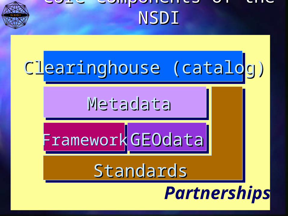
Core Components of the Core Components of the NSDINSDI
Partnerships
MetadataMetadata
GEOdataGEOdata
Clearinghouse (catalog)Clearinghouse (catalog)
FrameworkFramework
StandardsStandards
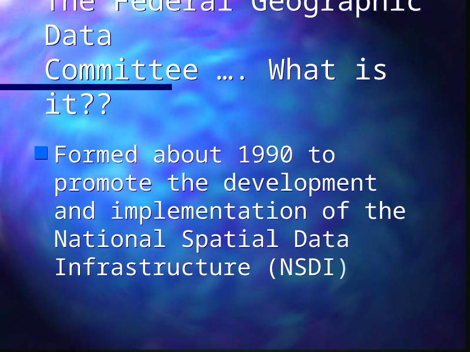
The Federal Geographic DataCommittee …. What is it??
The Federal Geographic DataCommittee …. What is it??
Formed about 1990 to promote the development and implementation of the National Spatial Data Infrastructure (NSDI)
Formed about 1990 to promote the development and implementation of the National Spatial Data Infrastructure (NSDI)
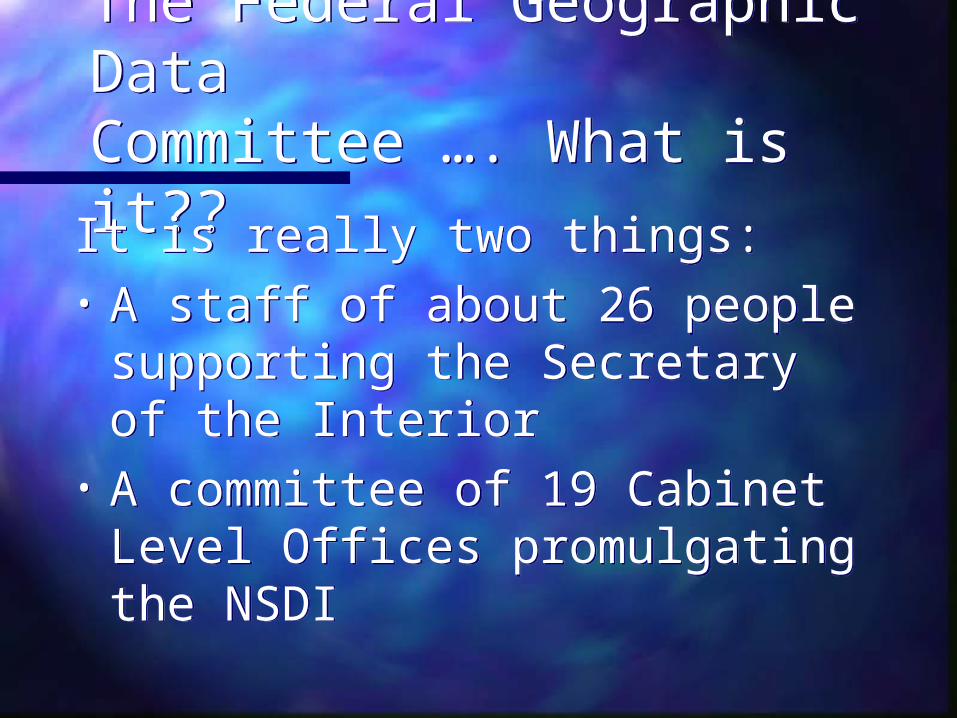
The Federal Geographic DataCommittee …. What is it??
The Federal Geographic DataCommittee …. What is it??It is really two things: • A staff of about 26 people
supporting the Secretary of the Interior
• A committee of 19 Cabinet Level Offices promulgating the NSDI
It is really two things: • A staff of about 26 people
supporting the Secretary of the Interior
• A committee of 19 Cabinet Level Offices promulgating the NSDI
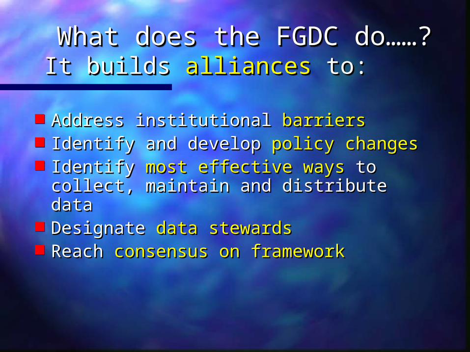
What does the FGDC do……?What does the FGDC do……?It builds It builds alliancesalliances to: to: What does the FGDC do……?What does the FGDC do……?It builds It builds alliancesalliances to: to:
Address institutional Address institutional barriersbarriers Identify and developIdentify and develop policy changes policy changes Identify Identify most effective waysmost effective ways to to
collect, maintain and distribute data collect, maintain and distribute data Designate Designate data stewardsdata stewards ReachReach consensus on framework consensus on framework

What does the FGDC do……?What does the FGDC do……?It builds alliances to:It builds alliances to: What does the FGDC do……?What does the FGDC do……?It builds alliances to:It builds alliances to:
Encourage Encourage metadatametadata creation creation ClearinghouseClearinghouse development development Encourage the use Encourage the use common standardscommon standards and and
participation in national and international participation in national and international standards committeesstandards committees
Seek Seek new partnersnew partners Develop incentivesDevelop incentives for participants for participants Etc…….Etc…….

A FEDERAL GEOGRAPHIC DATA A FEDERAL GEOGRAPHIC DATA COMMITTEE (FGDC):COMMITTEE (FGDC):Good fortuneGood fortune
OMB Circular A-16 already in placeOMB Circular A-16 already in place
1994 - National Spatial Data Infrastructure 1994 - National Spatial Data Infrastructure formed by Presidential Executive Order formed by Presidential Executive Order 1290612906
‘…‘…coordinating geographic data acquisition coordinating geographic data acquisition and and access….access….’’
2000 – Stronger emphasis built into the A-16 2000 – Stronger emphasis built into the A-16 circularcircularwww.whitehouse.gov/omb/circulars/a016/a016_rev.htmlwww.whitehouse.gov/omb/circulars/a016/a016_rev.html

A FEDERAL GEOGRAPHIC DATA A FEDERAL GEOGRAPHIC DATA COMMITTEE (FGDC):COMMITTEE (FGDC):Good fortune ……..Good fortune ……..
1992 – Administrations focus on 1992 – Administrations focus on streamliningstreamlining governmentgovernment– Vice President tasked Vice President tasked – Cost/benefits associated with and NSDICost/benefits associated with and NSDI– Secretary of Interior directly involvedSecretary of Interior directly involved– Raised awareness and participation of all Raised awareness and participation of all
other cabinet officesother cabinet offices– Eight years of close attentionEight years of close attention

Federal Geographic Data Federal Geographic Data Committee (FGDC) Committee (FGDC)
Organisation and OperationOrganisation and Operation

What’s the budget …….?What’s the budget …….?Annually, about $4.9M USDAnnually, about $4.9M USD
– About $2.3M USD for salaryAbout $2.3M USD for salary– About $2.6 M USD discretionaryAbout $2.6 M USD discretionary
CAP Grants …… $1.0 – $1.5M CAP Grants …… $1.0 – $1.5M StandardsStandards FrameworkFramework Clearinghouse/portalClearinghouse/portal PartnershipsPartnerships Geospatial One-StopGeospatial One-Stop InternationalInternational ……… ……… etc.etc.
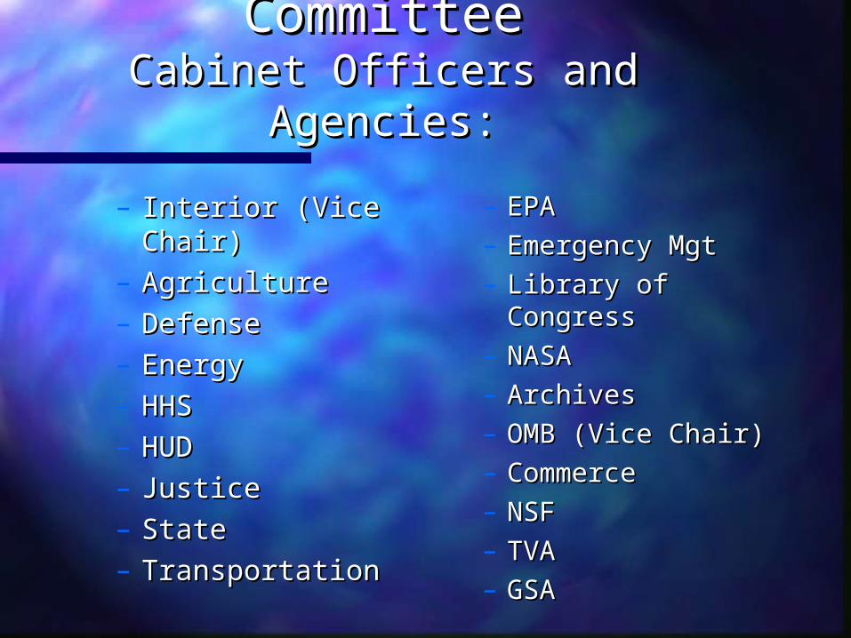
FGDC Steering CommitteeFGDC Steering CommitteeCabinet Officers and Agencies:Cabinet Officers and Agencies:
– Interior (Vice Interior (Vice Chair)Chair)
– AgricultureAgriculture– DefenseDefense– EnergyEnergy– HHSHHS– HUDHUD– JusticeJustice– StateState– TransportationTransportation
– EPA EPA – Emergency MgtEmergency Mgt– Library of Library of
CongressCongress– NASANASA– Archives Archives – OMB (Vice Chair)OMB (Vice Chair)– CommerceCommerce– NSFNSF– TVATVA– GSAGSA

FGDCFGDCWorking Groups (8)Working Groups (8)
• MetadataMetadata• ClearinghouseClearinghouse• StandardsStandards• Historical DataHistorical Data
• Biological DataBiological Data• FacilitiesFacilities• Sustainable Sustainable
Forest DataForest Data• Earth CoverEarth Cover

FGDCFGDC Thematic Thematic
Subcommittees(13)Subcommittees(13) Base Cartographic Base Cartographic
DataData CadastralCadastral Cultural and Cultural and
Demographic DataDemographic Data Federal Geodetic Federal Geodetic
ControlControl GeologicGeologic Ground Ground
TransportationTransportation
International International Boundaries Boundaries
SoilsSoils Spatial ClimateSpatial Climate Spatial Water DataSpatial Water Data VegetationVegetation WetlandsWetlands Marine CoastalMarine Coastal

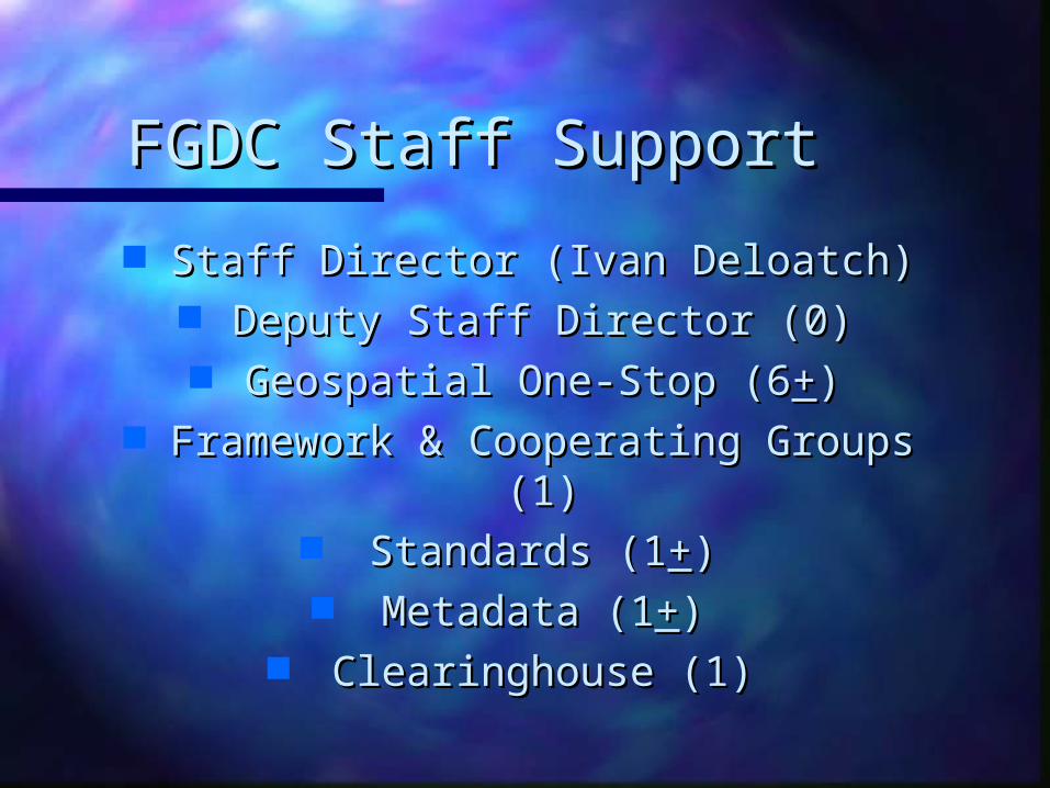
FGDC Staff SupportFGDC Staff Support
Staff Director (Ivan Deloatch)Staff Director (Ivan Deloatch) Deputy Staff Director (0)Deputy Staff Director (0) Geospatial One-Stop (6Geospatial One-Stop (6++))
Framework & Cooperating Groups (1)Framework & Cooperating Groups (1) Standards (1Standards (1++)) Metadata (1Metadata (1++))
Clearinghouse (1)Clearinghouse (1)

FGDC Staff SupportFGDC Staff Support
International Program (3.0) International Program (3.0) Education & TrainingEducation & Training Grant Programs (1)Grant Programs (1)
FGDC Secretariat Support (1)FGDC Secretariat Support (1) Administration and Finance (1)Administration and Finance (1)
Staff Assistants (2) Staff Assistants (2) Systems and Network (2)Systems and Network (2)
Communications (1)Communications (1)

NSDI In the United StatesNSDI In the United StatesStrong high-level political federal Strong high-level political federal supportsupport
FGDC starts 1990FGDC starts 1990 High level political supportHigh level political support
– OMB Circular A-16OMB Circular A-16– NSDI Presidential Executive Order 1994NSDI Presidential Executive Order 1994– Secretarial involvement in the FGDCSecretarial involvement in the FGDC
Extensive partnerships established Extensive partnerships established Standards -- nationally, internationallyStandards -- nationally, internationally Clearinghouse networkClearinghouse network Open policy for federal spatial dataOpen policy for federal spatial data
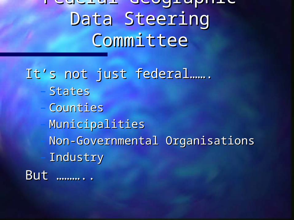
Federal Geographic Data Federal Geographic Data Steering CommitteeSteering Committee
It’s not just federal…….It’s not just federal…….– StatesStates– CountiesCounties– MunicipalitiesMunicipalities– Non-Governmental OrganisationsNon-Governmental Organisations– IndustryIndustry
But ………..But ………..

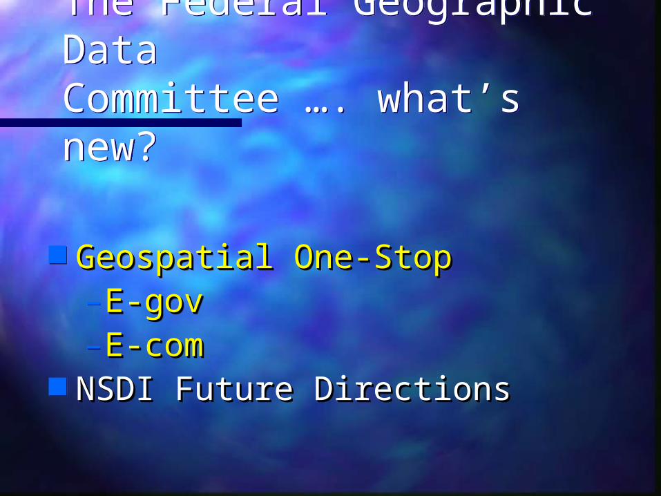
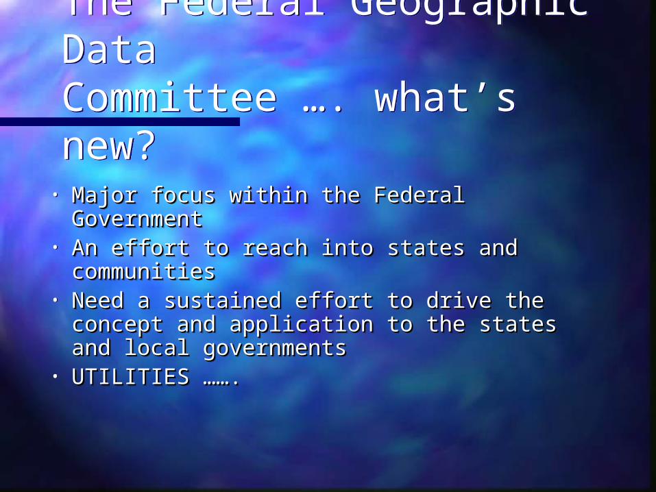
The Federal Geographic DataCommittee …. what’s new?
The Federal Geographic DataCommittee …. what’s new?
• Major focus within the Federal GovernmentMajor focus within the Federal Government• An effort to reach into states and An effort to reach into states and
communitiescommunities• Need a sustained effort to drive the Need a sustained effort to drive the
concept and application to the states and concept and application to the states and local governmentslocal governments
• UTILITIES ……. UTILITIES …….
The Federal Geographic DataCommittee …. what’s new?
The Federal Geographic DataCommittee …. what’s new?
Geospatial One-StopGeospatial One-Stop– E-govE-gov– E-comE-com
NSDI Future DirectionsNSDI Future Directions
Geospatial One-StopGeospatial One-Stop– E-govE-gov– E-comE-com
NSDI Future DirectionsNSDI Future Directions
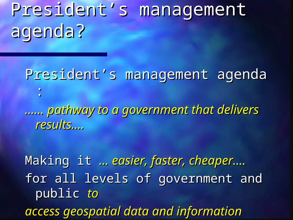
What is the President’s What is the President’s management agenda?management agenda?
President’s management agenda :President’s management agenda :…… …… pathway to a government that pathway to a government that
delivers results….delivers results….
Making it Making it … easier, faster, cheaper….… easier, faster, cheaper….
for all levels of government and public for all levels of government and public toto
access geospatial data and informationaccess geospatial data and information

What is the President’s What is the President’s management agenda?management agenda?
E-Government ….. E-Government ….. Use of digital Use of digital technology to transform technology to transform government operations to improve government operations to improve efficiency and effectivenessefficiency and effectiveness
It is a means to an end; not an It is a means to an end; not an ‘end’ in itself……….‘end’ in itself……….

What is Geospatial One-Stop?What is Geospatial One-Stop?
Goal ….. Goal ….. Provide federal and state agencies Provide federal and state agencies with a single point of access to geographic with a single point of access to geographic information reducing/eliminating redundant information reducing/eliminating redundant data collection and archives.data collection and archives.
MilestonesMilestones ….. ….. • Identify federal inventory of framework dataIdentify federal inventory of framework data• Focus on standardsFocus on standards• Deploy Geospatial 1-stop portalDeploy Geospatial 1-stop portal
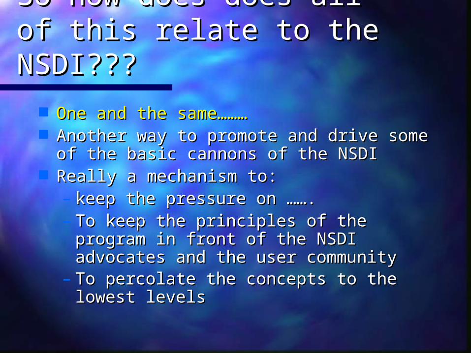
So how does does all of So how does does all of this relate to the NSDI???this relate to the NSDI???
One and the same………One and the same……… Another way to promote and drive some Another way to promote and drive some
of the basic cannons of the NSDIof the basic cannons of the NSDI Really a mechanism to: Really a mechanism to:
– keep the pressure on …….keep the pressure on …….– To keep the principles of the program To keep the principles of the program
in front of the NSDI advocates and the in front of the NSDI advocates and the user community user community
– To percolate the concepts to the lowest To percolate the concepts to the lowest levelslevels

The Federal Geographic DataCommittee …. what’s new?
The Federal Geographic DataCommittee …. what’s new?
Geospatial One-StopGeospatial One-Stop– E-govE-gov– E-comE-com
NSDI Future DirectionsNSDI Future Directions
Geospatial One-StopGeospatial One-Stop– E-govE-gov– E-comE-com
NSDI Future DirectionsNSDI Future Directions

FGDC/NSDI Future DirectionsFGDC/NSDI Future Directions
Why do we need to …….?Why do we need to …….?• Added one-stopAdded one-stop• 1994 & 97 strategic plans developed 1994 & 97 strategic plans developed • New staff directorNew staff director• Really need the local data holdings to Really need the local data holdings to
adoptadopt• Questions about the coordination of Questions about the coordination of
NSDI, GOS, and CTM NSDI, GOS, and CTM • Attention to Homeland SecurityAttention to Homeland Security

FGDC/NSDI Future DirectionsFGDC/NSDI Future Directions
……and so, to the questionand so, to the question
Where do we want to be in Where do we want to be in 2014?2014?

FGDC/NSDI Future DirectionsFGDC/NSDI Future Directions
What is the process?????What is the process?????• FGDC staff built straw-manFGDC staff built straw-man• Involve other stakeholdersInvolve other stakeholders• Consumed the entire FGDC Consumed the entire FGDC
coordination committeecoordination committee
FGDC/NSDI Future DirectionsFGDC/NSDI Future Directions
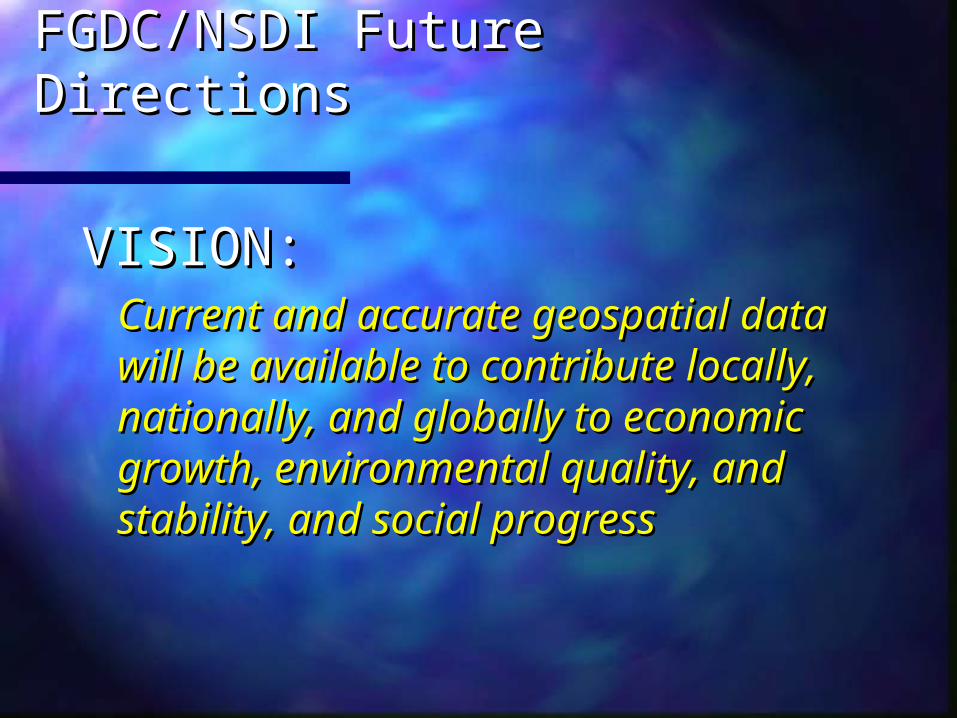
VISION:VISION:Current and accurate geospatial Current and accurate geospatial data will be available to contribute data will be available to contribute locally, nationally, and globally to locally, nationally, and globally to economic growth, environmental economic growth, environmental quality, and stability, and social quality, and stability, and social progressprogress

FGDC/NSDI Future DirectionsFGDC/NSDI Future Directions
1. Forging partnerships with 1. Forging partnerships with a purposea purpose
Expand the governance Expand the governance modelmodel
The Federal Geographic DataCommittee …. what’s new?
The Federal Geographic DataCommittee …. what’s new?
• Major focus within the Federal GovernmentMajor focus within the Federal Government• An effort to reach into states and An effort to reach into states and
communitiescommunities• Need a sustained effort to drive the Need a sustained effort to drive the
concept and application to the states and concept and application to the states and local governmentslocal governments
• UTILITIES ……. UTILITIES …….
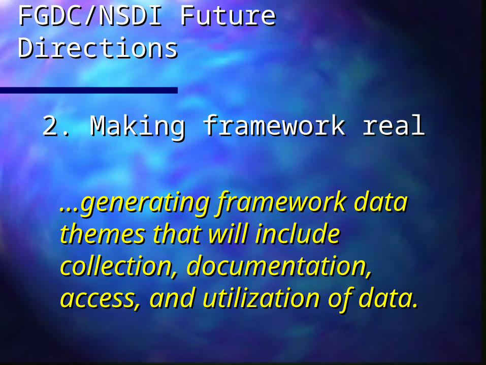
FGDC/NSDI Future DirectionsFGDC/NSDI Future Directions
2. Making framework real2. Making framework real
……generating framework data generating framework data themes that will include themes that will include collection, documentation, collection, documentation, access, and utilization of data.access, and utilization of data.

FGDC/NSDI Future DirectionsFGDC/NSDI Future Directions
3. 3. Communicating the MessageCommunicating the Message
……recognized across the nation as recognized across the nation as the primary source for the the primary source for the availability and use of reliable availability and use of reliable spatial dataspatial data

Create a National Spatial Data Infrastructure (NSDI) ………
Create a National Spatial Data Infrastructure (NSDI) ………
To encourage the collection, processing, To encourage the collection, processing, archiving, integration, and sharing of archiving, integration, and sharing of geospatial data and information using geospatial data and information using common standardscommon standards and and interoperable interoperable systems and techniquessystems and techniques
….. and accessible via the web

1989-90 FGDC formed1989-90 FGDC formed
1994 NSDI formed by Presidential 1994 NSDI formed by Presidential Executive Order 12906Executive Order 12906
1994-5 International awareness1994-5 International awareness
1999 Implementation Teams started1999 Implementation Teams started
2001 OMB Circular A-16 updated2001 OMB Circular A-16 updated
2002 Geospatial One-Stop2002 Geospatial One-Stop
Genesis of the US National Genesis of the US National Spatial Data InfrastructureSpatial Data Infrastructure
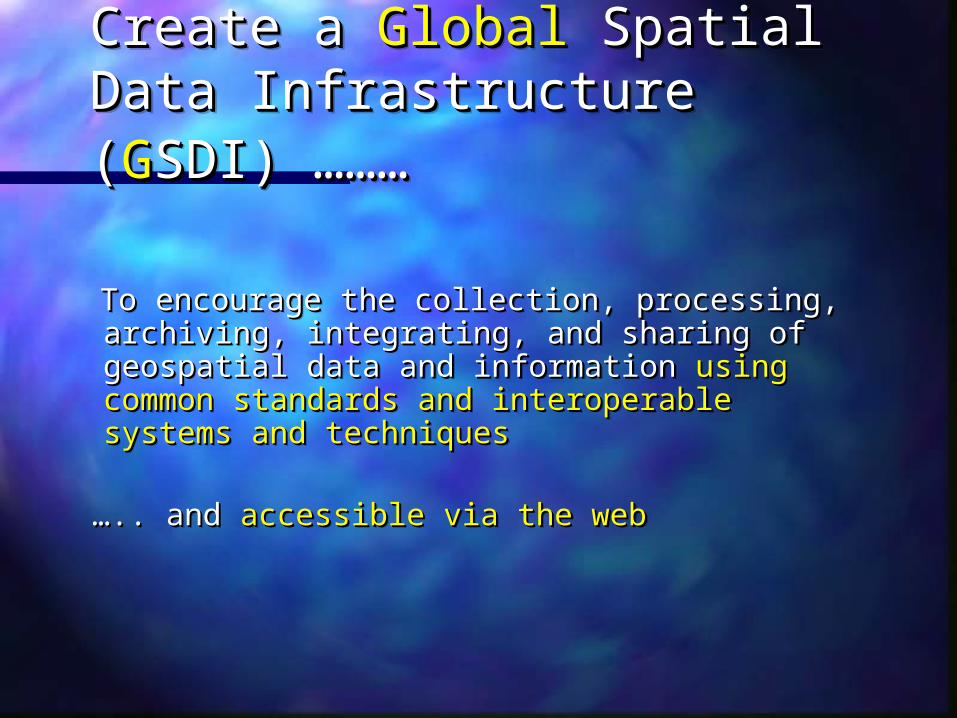
Create a Create a GlobalGlobal Spatial Data Spatial Data Infrastructure (Infrastructure (GGSDI) ………SDI) ……… Create a Create a GlobalGlobal Spatial Data Spatial Data Infrastructure (Infrastructure (GGSDI) ………SDI) ………
To encourage the collection, processing, To encourage the collection, processing, archiving, integrating, and sharing of archiving, integrating, and sharing of geospatial data and information geospatial data and information using using common standards and interoperable common standards and interoperable systems and techniquessystems and techniques
… ….. and .. and accessible via the webaccessible via the web

Global Spatial Data Global Spatial Data InfrastructureInfrastructure
GSDI conferencesGSDI conferences– GSDI 1 Bonn Germany Sept 1995GSDI 1 Bonn Germany Sept 1995– GSDI 2 Chapel Hill NC October 1997GSDI 2 Chapel Hill NC October 1997– GSDI 3 Canberra Australia November 1998GSDI 3 Canberra Australia November 1998– GSDI 4 Capetown South Africa March 2000GSDI 4 Capetown South Africa March 2000– GSDI 5 Cartagena Colombia May 2001GSDI 5 Cartagena Colombia May 2001– GSDI 6 Budapest Hungary September GSDI 6 Budapest Hungary September
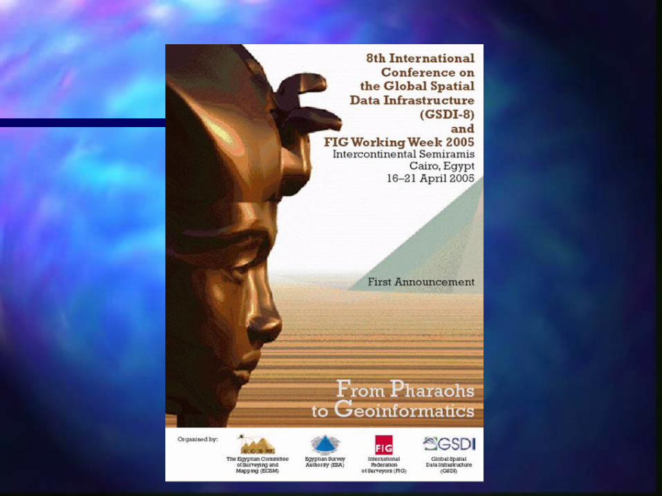
20022002– GSDI 7 Bangalore India February 2004GSDI 7 Bangalore India February 2004– GSDI 8 Cairo (with FIG) April 2005GSDI 8 Cairo (with FIG) April 2005

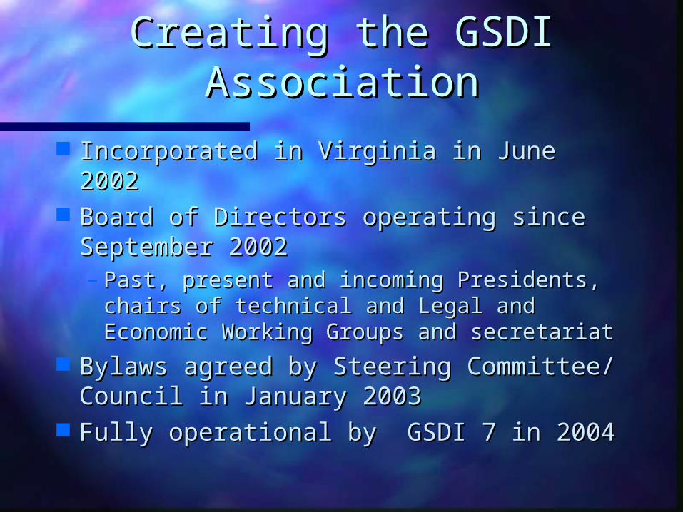
Creating the GSDI Creating the GSDI AssociationAssociation
Incorporated in Virginia in June 2002Incorporated in Virginia in June 2002 Board of Directors operating since Board of Directors operating since
September 2002September 2002– Past, present and incoming Presidents, Past, present and incoming Presidents,
chairs of technical and Legal and chairs of technical and Legal and Economic Working Groups and Economic Working Groups and secretariatsecretariat
Bylaws agreed by Steering Bylaws agreed by Steering Committee/ Council in January 2003Committee/ Council in January 2003
Fully operational by GSDI 7 in 2004 Fully operational by GSDI 7 in 2004

GSDI SecretariatGSDI Secretariat Progress 2003Progress 2003
Permanent Committees for:Permanent Committees for:• Asia & the Pacific (PCGIAP)Asia & the Pacific (PCGIAP)• Americas (PCIDEA) Americas (PCIDEA) • Europe (EUROGI)Europe (EUROGI)• Africa (CODI and partners)Africa (CODI and partners)
KISM, UNECA, CODI, EIS AfricaKISM, UNECA, CODI, EIS Africa
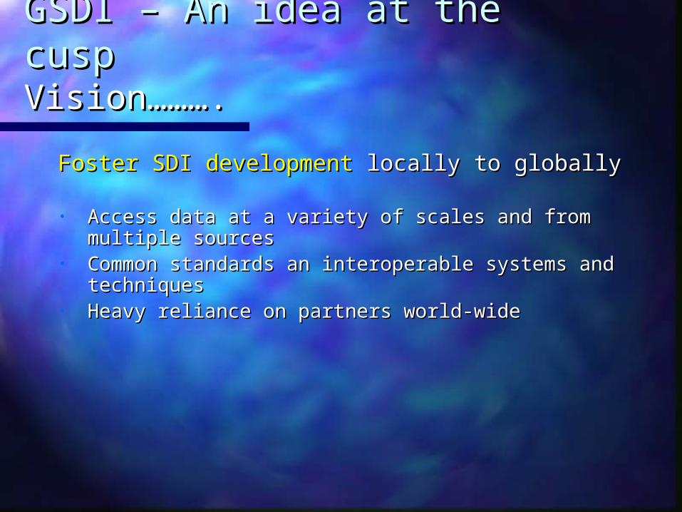
GSDI – An idea at the cuspGSDI – An idea at the cusp Vision……….Vision……….
Foster SDI developmentFoster SDI development locally to globally locally to globally
• Access data at a variety of scales and from Access data at a variety of scales and from multiple sourcesmultiple sources
• Common standards an interoperable systems Common standards an interoperable systems and techniquesand techniques
• Heavy reliance on partners world-wide Heavy reliance on partners world-wide
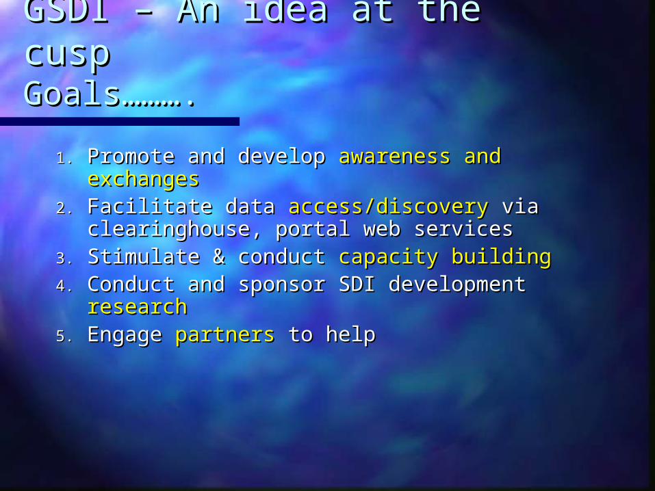
GSDI – An idea at the cuspGSDI – An idea at the cusp Goals………. Goals……….
1.1. Promote and develop Promote and develop awareness and awareness and exchangesexchanges
2.2. Facilitate data Facilitate data access/discoveryaccess/discovery via via clearinghouse, portal web servicesclearinghouse, portal web services
3.3. Stimulate & conduct Stimulate & conduct capacity buildingcapacity building4.4. Conduct and sponsor SDI development Conduct and sponsor SDI development
researchresearch5.5. Engage Engage partnerspartners to help to help

FGDC & GSDI SecretariatFGDC & GSDI Secretariat Success stories………Success stories………
CookbookCookbook:: Doug Nebert; Editor in ChiefDoug Nebert; Editor in Chief It contains contributions from many It contains contributions from many
nationsnations FGDC/GSDI will maintain it and make FGDC/GSDI will maintain it and make
it available on the GSDI websiteit available on the GSDI website It is a living documentIt is a living document

Developing Spatial Data Infrastructures:
The SDI Cookbook
Version 1.06 July 2000
Release for Review at the Fourth Global Spatial Data Infrastructure Conference, Cape Town, South Africa
Disclaimer: This draft represents a work-in-progress that has been compiled from numerous contributions and available online documents contributing organisations. Full acknowledgement of contributions and citations will be provided in the initial public draft.
Editor: Douglas D. Nebert, Technical Working Group Chair, GSDI
http://www.gsdi.org
Document Available At:

Cookbook ObjectivesCookbook Objectives Define a reference environment for building Define a reference environment for building
compatible spatial data infrastructures for use compatible spatial data infrastructures for use by all communitiesby all communities
Promote best practices, technologies, and Promote best practices, technologies, and guidance for their implementation in a guidance for their implementation in a changing Internet environment with low-cost changing Internet environment with low-cost reference implementations, wherever reference implementations, wherever possiblepossible
Create an online resource and information Create an online resource and information web for disseminationweb for dissemination

Chapter
Cookbook Design ConceptCookbook Design Concept
DataMetadata Catalog
OnlineMapping Access
IntegratingServices Outreach
CaseStudies Terms
Contextand
Rationale
OrganisationalApproach
ImplementationApproach
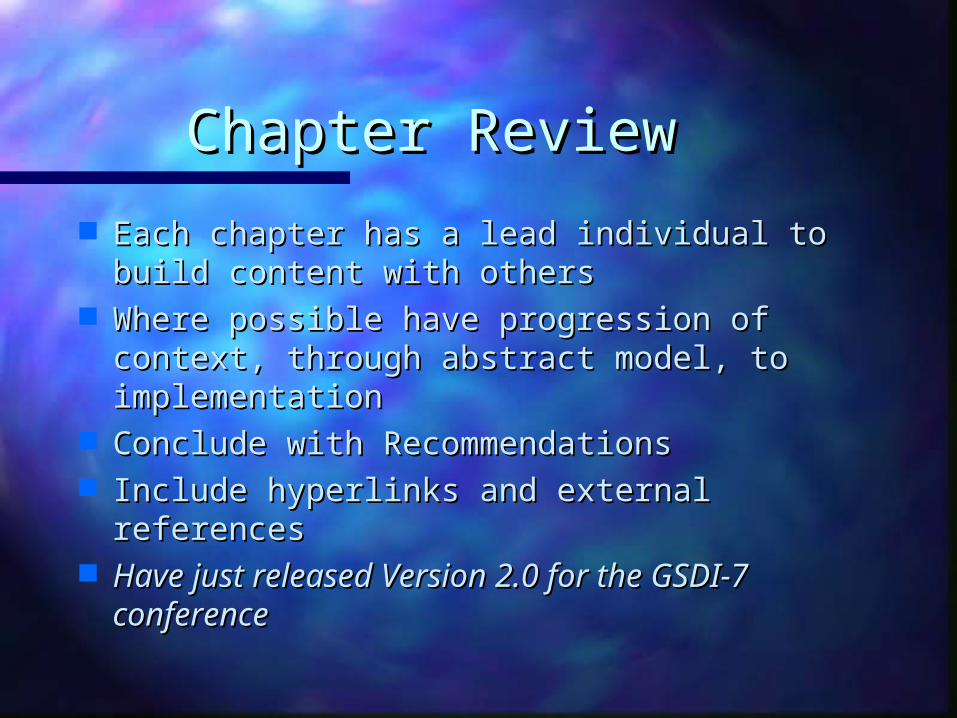
Chapter ReviewChapter Review
Each chapter has a lead individual to build Each chapter has a lead individual to build content with otherscontent with others
Where possible have progression of context, Where possible have progression of context, through abstract model, to implementationthrough abstract model, to implementation
Conclude with RecommendationsConclude with Recommendations Include hyperlinks and external referencesInclude hyperlinks and external references Have just released Version 2.0 for the GSDI-7 Have just released Version 2.0 for the GSDI-7
conferenceconference

Version 2.0Version 2.0
Version 2.0 (English) has two new Version 2.0 (English) has two new chapters:chapters:– ““Other Services” describing geospatial Other Services” describing geospatial
service interfaces and chainingservice interfaces and chaining– ““Terminology” including how one can Terminology” including how one can
standardise terminology and includes a standardise terminology and includes a glossary of the documentglossary of the document
Updated reference to all current Updated reference to all current work: existing standards and work: existing standards and specificationsspecifications
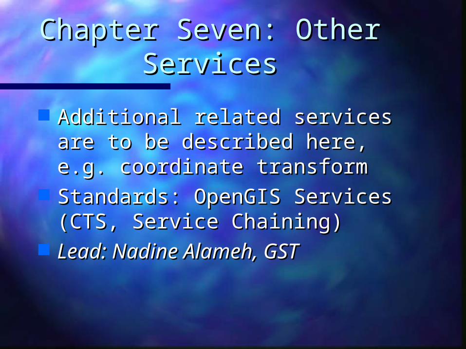
Chapter Seven: Other Chapter Seven: Other ServicesServices
Additional related services are to be Additional related services are to be described here, e.g. coordinate described here, e.g. coordinate transformtransform
Standards: OpenGIS Services (CTS, Standards: OpenGIS Services (CTS, Service Chaining)Service Chaining)
Lead: Nadine Alameh, GSTLead: Nadine Alameh, GST
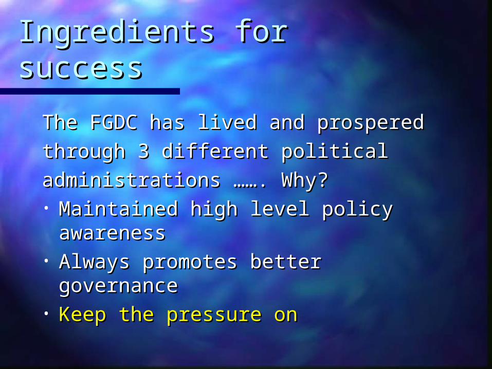
Ingredients for successIngredients for success
The FGDC has lived and prosperedThe FGDC has lived and prospered
through 3 different political through 3 different political
administrations ……. Why?administrations ……. Why?• Maintained high level policy Maintained high level policy
awarenessawareness• Always promotes better governanceAlways promotes better governance• Keep the pressure onKeep the pressure on
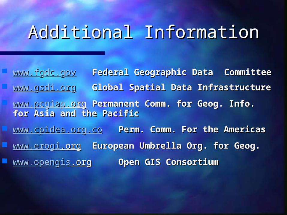
Additional InformationAdditional Information
www.fgdc.govwww.fgdc.gov Federal Geographic Data Federal Geographic Data Committee Committee
www.gsdi.orgwww.gsdi.org Global Spatial Data InfrastructureGlobal Spatial Data Infrastructure
www.www.pcgiappcgiap.org.org Permanent Comm. for Geog. Info. Permanent Comm. for Geog. Info. for Asia and the Pacificfor Asia and the Pacific
www.cpidea.org.cowww.cpidea.org.co Perm. Comm. For the Americas Perm. Comm. For the Americas
www.www.erogierogi.org.org European Umbrella Org. for Geog.European Umbrella Org. for Geog.
www.www.opengisopengis.org.org Open GIS ConsortiumOpen GIS Consortium