slope-area method of flow measurement - whycos portal (@ … · slope-area method of flow...
TRANSCRIPT
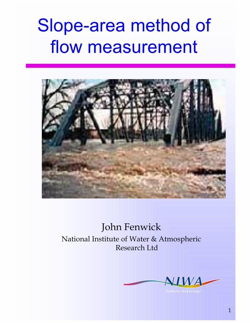
1
Slope-area method of flow measurement
John FenwickNational Institute of Water & Atmospheric
Research Ltd

2
Slope-area
A method when nothing else will work?
But also has application in hydraulic calculations – e.g. design & construction of canals

3
Slope area
Uses the Manning formula:V= R2/3 Sf
1/2 /n
(Q = Area x V)
some uncertainty in estimating n

4
Slope area
good for estimating flood peaks which cannot otherwise be measured

5
Requirements
A suitable reachA means of defining/measuring surface slopeTwo (or more) cross-sections with their areas measured, at top and bottom of reach
(intermediate cross-sections can be helpful)

6
A suitable reach..
Straight, long (> 5 x width)Contain flow without overflowMinimum of vegetationUniform cross-sections, preferably slightly converging

7
Procedure
Select reachMeasure cross-sectionsMeasure slopeEstimate Manning nCalculate, using appropriate formula

8
Measure cross-sections
Full flood waterway and beyondCalculate areasCalculate wetted perimeters and hence hydraulic Radii (R)

9
Measure water-surface slope
between cross-sectionsUse pegged WLs, flood marks?

10
WLs from flood-marks
Can be moderately accurateOften, all you haveNeeds some care in working out
Trees and scrub bend down in the flow and collect debrisSurge puts flood marks higher than actual
The slope parameter is very sensitive to the result, and very subject to error

11
Floodmarks
Not easy to interpret

12
Not easy to find?
Sometimes

13
Accuracy of floodmarks
Flood marks are often elevated above actual water-levelForce of waterSurge

14
Recorder can be one section
..If it survivesUse recorder as top or bottom section Should give good accurate level for that section

15
Rough river beds give another set of problems

16
Peg slopes if you are there
More accurate than using floodmarksAccess can be difficult – delays can give wrong levels

17
Estimation of n
Use Hicks & Mason?Gauge at other flow and back-calculate n

18
Compile stage/ncurves from gaugings
Stage
n
bankfull

19
Slope-area exercise
Slope-area gauging cardData sheetCalculate, after assessing n