solar radiation resource assessment in india 2013 the data measurement network to fulfil this...
TRANSCRIPT

3
CONTEXT
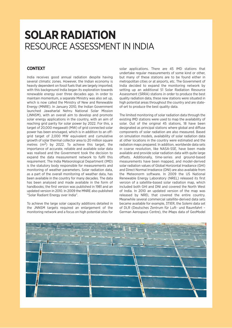
India receives good annual radiation despite havingseveral climatic zones. However, the Indian economy isheavily dependent on fossil fuels that are largely imported;with this background India began its exploration towardsrenewable energy over three decades ago. In order tomaintain momentum, a separate Ministry was also set up,which is now called the Ministry of New and RenewableEnergy (MNRE). In January 2010, the Indian Governmentlaunched Jawaharlal Nehru National Solar Mission(JNNSM), with an overall aim to develop and promotesolar energy applications in the country, with an aim ofreaching grid parity for solar power by 2022. For this, atarget of 20,000 megawatt (MW) of grid connected solarpower has been envisaged, which is in addition to an off-grid target of 2,000 MW equivalent and cumulativegrowth of solar thermal collector area to 20 million squaremetres (m2) by 2022. To achieve this target, theimportance of accurate, reliable and available solar datawas realised and the Government took the decision toexpand the data measurement network to fulfil thisrequirement. The India Meteorological Department (IMD)is the statutory body responsible for measurements andmonitoring of weather parameters. Solar radiation data,as a part of the overall monitoring of weather data, hasbeen available in the country for many decades. The datahas been analysed and made available in the form ofhandbooks; the first version was published in 1981 and anupdated version in 2010. In 2009 the MNRE also published“Solar Radiant Energy over India”.
To achieve the large solar capacity additions detailed inthe JNNSM targets required an enlargement of themonitoring network and a focus on high potential sites for
solar applications. There are 45 IMD stations thatundertake regular measurements of some kind or other,but many of these stations are to be found either inmetropolitan cities or at airports, etc. The Government ofIndia decided to expand the monitoring network bysetting up an additional 51 Solar Radiation ResourceAssessment (SRRA) stations in order to produce the bestquality radiation data, these new stations were situated inhigh potential areas throughout the country and are state-of-art to produce the best quality data.
The limited monitoring of solar radiation data through theexisting IMD stations were used to map the availability ofsolar. Out of the original 45 stations, 18 have beendesignated as principal stations where global and diffusecomponents of solar radiation are also measured. Basedon simulation models, availability of solar radiation dataat other locations in the country were estimated and theradiation maps prepared. In addition, worldwide data setsin coarse resolution, like NASA-SSE, have been madeavailable and provide solar radiation data with quite largeoffsets. Additionally, time-series and ground-basedmeasurements have been mapped, and model-derivedsolar radiation values of Global Horizontal Irradiance (GHI)and Direct Normal Irradiance (DNI) are also available fromthe Meteonorm software. In 2009 the US NationalRenewable Energy Laboratory (NREL) released its firstversion of a satellite-based solar radiation map, whichincluded both GHI and DNI and covered the North Westof India. In 2010 an updated version of the map wasreleased by NREL that covered the entire country.Meanwhile several commercial satellite-derived data setsbecame available for example, 3TIER, the Solemi data setof DLR (Deutsches Zentrum für Luft- und Raumfahrt –German Aerospace Centre), the iMaps data of GeoModel
SOLAR RADIATIONRESOURCE ASSESSMENT IN INDIA

Figure 1: Locations of SRRA stations

Solar and the data from IrSOLaV. Despite these efforts thereliability of solar radiation data for India is still poor. Groundverification of the satellite-derived data sets is still widelymissing and this has coincided with the demand for highquality solar resource data for India.
The SRRA project is fully funded by the Indian MNRE. Theproject is implemented by the Centre for Wind EnergyTechnology (CWET), Chennai. During Phase-1 of the project,a network of 51 solar radiation measurement stations wereset-up with the data processing and storage facilitieslocated centrally at CWET, Chennai. The cost of this Phase
of the project was INR 250 million (approximately USD 4.5million). The Second Phase of the project envisages afurther addition of 60 stations in parts of India that currentlyhave no monitoring stations. This will augment the existingnetwork of monitoring stations
The SRRA project is being supported by the SolMap project,an initiative under the Indo-German Bilateral Cooperationand funded by the German Ministry for Environment, NatureConservation and Nuclear Safety (Bundesministerium fürUmwelt, Naturschutz und Reaktorsicherheit; BMU). InSolMap the Deutsche Gesellschaft für Internationale
Instrument
01. Pyranometer
02. Shaded Pyranometer
03. Pyrheliometer
04. Solar Tracker
05. Ultrasonic Wind Sensor
06. Rain Gauge07. Pressure sensor08. Temperature and
Relative Humiditysensor
09. GPS
10. Data logger and Modem
11. GPRS
12. Solar PV Panel
13. External Battery
Manufacturer
Eppley Laboratory, USA
-do-
-do-
Geonica, Spain
R M Young, USA
-do--do--do-
Garmin, USA
Geonica,Spain
Garmin, USA
Moserbaer, India
Exide, India
Parameter
Global Radiation (watt/squaremetre (W/m2); Instantaneous,AverageDiffuse Radiation (W/m2);Instantaneous, Average
Direct Irradiance (W/m2);Instantaneous, AverageMounted with ShadedPyranometers and Pyrheliometer
Wind Speed and Wind Direction;Standard deviation, Maximum andAverageRain Accumulation Atmospheric Pressure Temperature and Humidity;Average, Maximum and Minimum
To synchronise Sun Tracker withSun movement Collecting data from sensors andtransferring it to CentralReceiving Station at CWET,ChennaiTo transfer data through mobileSIM cards to Central ReceivingStation at CWET, ChennaiTo charge batteries that are usedto power ASRMS For electrical storage
A. SOLAR MEASURING INSTRUMENTS
B. METEOROLOGICAL MEASURING INSTRUMENTS
C. GENERAL INSTRUMENTS
TABLE 1: INSTRUMENTS AT SRRA STATIONS

Zusammenarbeit (GIZ), together with its contractorsSuntrace GmbH and PSE AG are cooperating with CWET.The funding for SolMap from BMU is about EUR 1.6 million.SolMap provides the SRRA data quality control, dataprocessing, data product generation and aims to create asolar radiation atlas of India.
MEASUREMENT CAMPAIGN
CWET is an autonomous institution under MNRE engagedin activities pertaining to wind resource assessment andmonitoring in India and making the results available tovarious stakeholders including industry, project developersand the policy makers. The task of solar radiationmonitoring was assigned to CWET to take advantage oftheir experience in handling large scale data. To enablethem to perform this task effectively, a technical group,which comprised of solar experts from various institutions,including IMD, Solar Energy Centre, Indian Institute ofTechnologies, the State Agencies, World Bank, GIZ andMNRE, was established. To implement the project, new staff(trained engineers) were recruited and further trained atexisting facilities of IMD and other institutions. The 51 siteswere chosen to cover 11 States and 1 Union Territory, and allthe stations were commissioned through a vendor who wasselected by an international competitive bidding processbetween March to October, 2011, quite possibly one of thebiggest global initiatives of its kind. The locations have been
depicted in Figure 1 for the 51 stations for Phase-1 and anadditional 60 stations proposed for Phase-2. Data from allSRRA stations are transmitted through General packet radioservice (GPRS) to a Central Receiving Station establishedat CWET.
The technical configuration of the SRRA stations consist ofmeasurements of GHI, Diffuse Horizontal Irradiation (DHI)by pyranometers and direct normal (DNI) solar irradianceswith pyrheliometers mounted on solar trackers, in additionto measurements of associated meteorological parameters,like air temperature, relative humidity, wind speed and winddirection, atmospheric pressure and precipitation. The SRRAstations (Figure 2) have been configured and equipped toa very high standard using good equipment and sensorsthat are powered by photovoltaic (PV) with battery banks,thus making them independent of grid electricity. Hightemporal resolution with data streams having 10 secondssampling and 10 minute averaging rate in the initial phasewere upgraded to 1 second sampling and 1 minute averagingin August 2012. As a part of the project, comprehensivefacilities are being developed for on-site calibration of solarradiation sensors, with traceability to national/internationalstandards. A calibration laboratory is also being establishedat CWET, Chennai and is to be equipped with two AbsoluteCavity Radiometers, four Standard Precision Pyranometersand a Solar Tracker. The various instruments being used ineach SRRA station are listed in Table 1.
Figure 2: A typical SRRA station

DATA PRODUCTS AND ANALYSIS
One of the objectives of undertaking the SRRA project is todevelop a solar radiation resource map for India, with areasonable spatial resolution. The SRRA network is stillbeing established and currently focusing on safe datastorage and putting in place a quality control system toensure integrity and reliability of the data. For this, SuntraceGmbH, a consultant under SolMap project that is supportedby GIZ, is assisting in setting up a quality control system,the analysis of data as per international protocols andproducing data reports for use by various stakeholders. Atpresent the data measured by the stations are received andstored in a Central Receiving Station located at CWETheadquarter in Chennai. The receiving server system isnamed as Level 1 (L1) and stores all data received from all51 stations. In the L1 server system only basic quality testsare implemented. To avoid data losses and reach high
availability, a RAID-5 back-up system with two hot-swappable servers are used. Once the data is stored in L1server, it is checked for its quality, i.e. missing data,plausibility of data measured, etc. Level 1 data receives anautomatic check with quality test algorithms followinginternationally established tests as developed by the WorldMeteorological Organization’s highest precision solarradiation network, Baseline Surface Radiation Network(BSRN). This includes checking physical limits, limits ofclean and dry clear sky conditions, coherence betweenmeasurements, tracking error, etc. and assigningappropriate flags. This is done in another server system,which is called Level 2 (L2) system. The L2 system consistsof data processing and processed data storage. Once datahas passed through quality control, various reports and dataproducts are created at different temporal resolutions, forexample hourly, daily, monthly, yearly, etc. A chart for flowof information from SRRA stations to the preparation ofdata products is shown in Figure-3.

IMPACT
Previously, IMD measured various weather parameters,including solar radiation and based on these measurementspublished various products in the form of data books thatprovided average hourly values, maps showing solarradiation profile in various parts of the country andstatistical information on the frequency and values of solarirradiance. This information was available to stakeholders,as well as the data being available in a soft form fromNational Data Centre of IMD. This knowledge provided amacroscopic view of potential areas with good availabilityof solar irradiance. The availability of this information,together with data from other sources (viz. simulationmodels, satellite derived values, etc.) was generally used bythe project developers in project designs at the beginningof the missions. It was envisaged that the SRRA projectwould make available reliable and accurate data based onground surface measurements and that subsequently thisdata could then be used to ground truth for other datasources. The information provided from SRRA stations hasalready initiated some fine policy adjustments of variousState Governments in terms of predicting solar park
developments and as an incentive to structure for solarpower projects.
With solar power being expensive at the current stage ofdevelopment, tariffs in India are based on a cost plus tariffand set by the Central Electricity Regulatory Commission(CERC). The information generated so far from the SRRAinitiative has already been used by regulatory and policymaking bodies such as the introduction of a “solar datapolicy” in 2012 by MNRE, which makes available qualitycontrolled solar data products and corresponding reportsto various stakeholders.To publicise the SRRA facility atCWET, Chennai, Dr. Farooq Abdullah, the Honourable UnionMinister for New and Renewable Energy inaugurated thevenue on 28th November, 2012.
Already, a natural interest in this initiative has beenobserved from various sectors. The commercial solar projectdevelopers are keen to access the data and to takeadvantage of the accurate solar resources data to plan anddesign projects more effectively. Similarly, several nationaland international banks involved in financing solar projectsin India have shown an interest in using the data.
Figure 3: Data flow from SRRA
measurement to data products
raw
data
qualitycontrol+gapfilling
mirror
processeddata
SRRADATAPRODUCTS
SRRA
STATIONS
monthly hourly 10 min 1 min
L1
L2
L1

International Renewable Energy AgencyC67 Office BuildingKhalidiyah [32nd] StreetPO Box 236, Abu DhabiUnited Arab Emirateswww.irena.org
Copyright 2012