southern dorchester county climate daptation roject...spring 2013 and include marsh adaptation...
TRANSCRIPT

Climate adaptation projeCtSOUTHERN DORCHESTER COUNTY
Southern Dorchester County Climate Adaptation Project
The Southern Dorchester County Climate Adaptation Project began in 2011 as a partnership between The Conservation Fund, Audubon Maryland/DC and the U.S. Fish and Wildlife Service (USFWS) supported by a grant from the Town Creek Foundation. Our objective is to ensure the long term persistence of high tidal marsh habitat together with its full assemblage of associated bird species and other wildlife. Rapid sea level rise threatens the survival of this ecosystem during the current century. The project will provide a framework for sea level rise adaptation and corresponding actions to conserve the tidal marshes of Blackwater National Wildlife Refuge (NWR) and the surrounding lands in Dorchester County, Maryland for the long term. The key theme is the persistence of tidal marsh habitat over time. Although most of the existing marshes in Dorchester County are already protected, the great majority of this ecosystem is threatened by sea level rise. Whether these marshes will continue to persist depends in major measure, on their location and rate of projected inundation. The project will determine where to resist inundation and also plan for the eventual migration of marshes to ensure their persistence. The major product of the resulting adaptation strategy will be a scientifically based and spatially explicit glide path for the region’s most important expanses of tidal marsh ecosystem to move through time and across the landscape to the new intertidal zone of 2100.
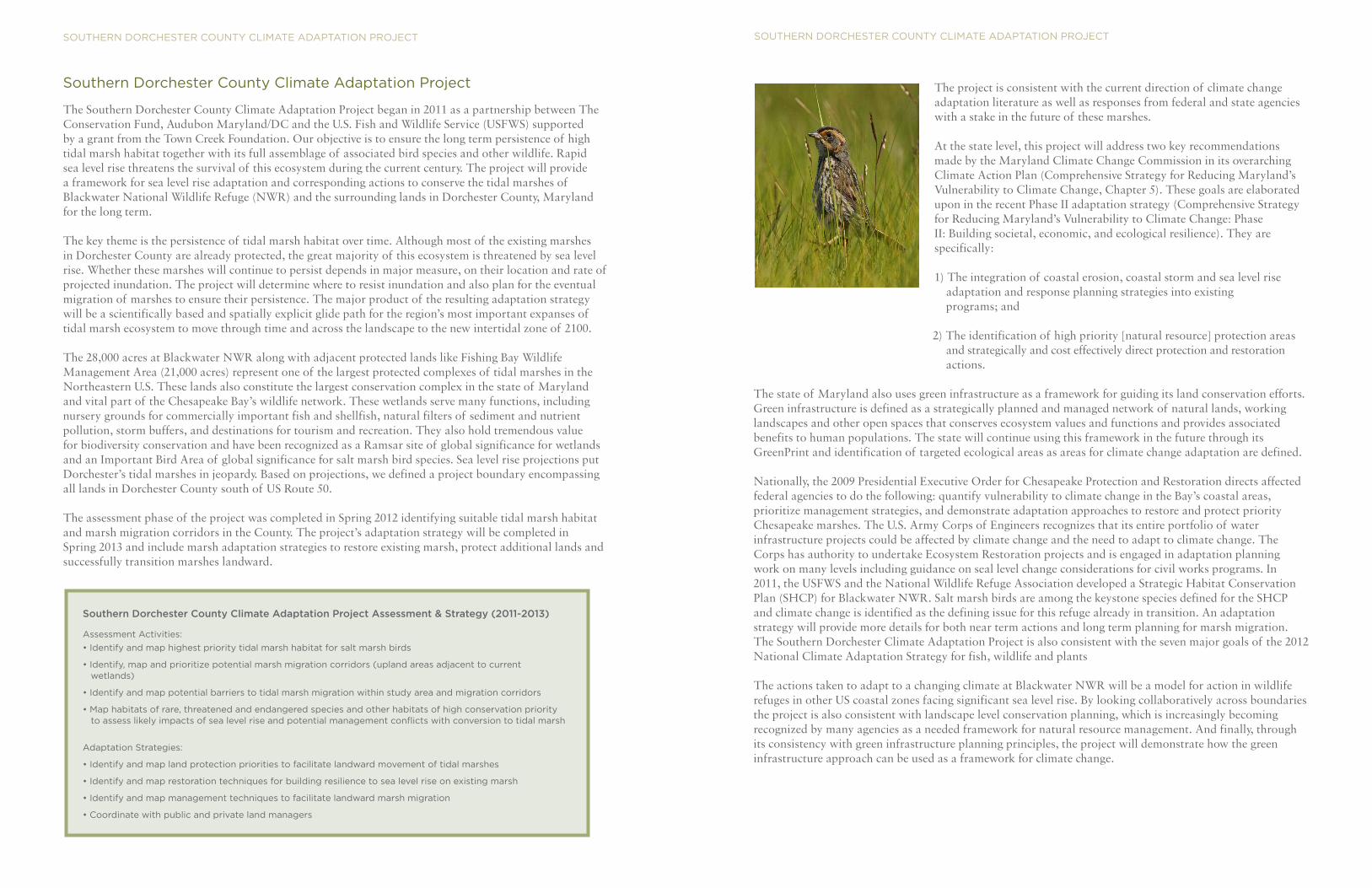
The 28,000 acres at Blackwater NWR along with adjacent protected lands like Fishing Bay Wildlife Management Area (21,000 acres) represent one of the largest protected complexes of tidal marshes in the Northeastern U.S. These lands also constitute the largest conservation complex in the state of Maryland and vital part of the Chesapeake Bay’s wildlife network. These wetlands serve many functions, including nursery grounds for commercially important fish and shellfish, natural filters of sediment and nutrient pollution, storm buffers, and destinations for tourism and recreation. They also hold tremendous value for biodiversity conservation and have been recognized as a Ramsar site of global significance for wetlands and an Important Bird Area of global significance for salt marsh bird species. Sea level rise projections put Dorchester’s tidal marshes in jeopardy. Based on projections, we defined a project boundary encompassing all lands in Dorchester County south of US Route 50.
The assessment phase of the project was completed in Spring 2012 identifying suitable tidal marsh habitat and marsh migration corridors in the County. The project’s adaptation strategy will be completed in Spring 2013 and include marsh adaptation strategies to restore existing marsh, protect additional lands and successfully transition marshes landward.
Southern Dorchester County Climate Adaptation Project Assessment & Strategy (2011-2013)
Assessment Activities:
• Identify and map highest priority tidal marsh habitat for salt marsh birds
• Identify, map and prioritize potential marsh migration corridors (upland areas adjacent to current wetlands)
• Identify and map potential barriers to tidal marsh migration within study area and migration corridors
• Map habitats of rare, threatened and endangered species and other habitats of high conservation priority to assess likely impacts of sea level rise and potential management conflicts with conversion to tidal marsh
Adaptation Strategies:
• Identify and map land protection priorities to facilitate landward movement of tidal marshes
• Identify and map restoration techniques for building resilience to sea level rise on existing marsh
• Identify and map management techniques to facilitate landward marsh migration
• Coordinate with public and private land managers
The project is consistent with the current direction of climate change adaptation literature as well as responses from federal and state agencies with a stake in the future of these marshes.
At the state level, this project will address two key recommendations made by the Maryland Climate Change Commission in its overarching Climate Action Plan (Comprehensive Strategy for Reducing Maryland’s Vulnerability to Climate Change, Chapter 5). These goals are elaborated upon in the recent Phase II adaptation strategy (Comprehensive Strategy for Reducing Maryland’s Vulnerability to Climate Change: Phase II: Building societal, economic, and ecological resilience). They are specifically:
1) The integration of coastal erosion, coastal storm and sea level rise adaptation and response planning strategies into existing programs; and
2) The identification of high priority [natural resource] protection areas and strategically and cost effectively direct protection and restoration actions.
The state of Maryland also uses green infrastructure as a framework for guiding its land conservation efforts. Green infrastructure is defined as a strategically planned and managed network of natural lands, working landscapes and other open spaces that conserves ecosystem values and functions and provides associated benefits to human populations. The state will continue using this framework in the future through its GreenPrint and identification of targeted ecological areas as areas for climate change adaptation are defined.
Nationally, the 2009 Presidential Executive Order for Chesapeake Protection and Restoration directs affected federal agencies to do the following: quantify vulnerability to climate change in the Bay’s coastal areas, prioritize management strategies, and demonstrate adaptation approaches to restore and protect priority Chesapeake marshes. The U.S. Army Corps of Engineers recognizes that its entire portfolio of water infrastructure projects could be affected by climate change and the need to adapt to climate change. The Corps has authority to undertake Ecosystem Restoration projects and is engaged in adaptation planning work on many levels including guidance on seal level change considerations for civil works programs. In 2011, the USFWS and the National Wildlife Refuge Association developed a Strategic Habitat Conservation Plan (SHCP) for Blackwater NWR. Salt marsh birds are among the keystone species defined for the SHCP and climate change is identified as the defining issue for this refuge already in transition. An adaptation strategy will provide more details for both near term actions and long term planning for marsh migration. The Southern Dorchester Climate Adaptation Project is also consistent with the seven major goals of the 2012 National Climate Adaptation Strategy for fish, wildlife and plants
The actions taken to adapt to a changing climate at Blackwater NWR will be a model for action in wildlife refuges in other US coastal zones facing significant sea level rise. By looking collaboratively across boundaries the project is also consistent with landscape level conservation planning, which is increasingly becoming recognized by many agencies as a needed framework for natural resource management. And finally, through its consistency with green infrastructure planning principles, the project will demonstrate how the green infrastructure approach can be used as a framework for climate change.
SOUTHERN DORCHESTER COUNTY CLIMATE ADAPTATION PROJECT SOUTHERN DORCHESTER COUNTY CLIMATE ADAPTATION PROJECT