spatial hypermedia and augmented reality landon zabcik auburn university
Post on 19-Dec-2015
214 views
TRANSCRIPT
Spatial Hypermedia Spatial Hypermedia and Augmented and Augmented
RealityReality
Landon ZabcikLandon Zabcik
Auburn UniversityAuburn University
OutlineOutline
IntroductionIntroduction Spatial HypermediaSpatial Hypermedia Geographical Information System (GIS)Geographical Information System (GIS) Location Based ServicesLocation Based Services Adaptive HypermediaAdaptive Hypermedia Augmented RealityAugmented Reality Mixed RealityMixed Reality Collaborative Virtual Environments (CVE)Collaborative Virtual Environments (CVE) Combining Tools and HybridsCombining Tools and Hybrids ConclusionConclusion
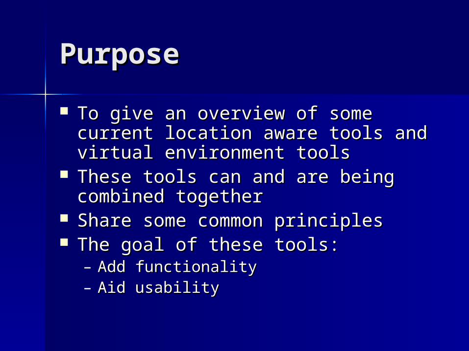
PurposePurpose
To give an overview of some current To give an overview of some current location aware tools and virtual location aware tools and virtual environment toolsenvironment tools
These tools can and are being These tools can and are being combined togethercombined together
Share some common principlesShare some common principles The goal of these tools:The goal of these tools:
– Add functionalityAdd functionality– Aid usabilityAid usability
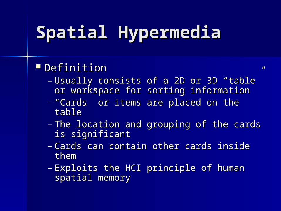
Spatial HypermediaSpatial Hypermedia
DefinitionDefinition– Usually consists of a 2D or 3D “table” or Usually consists of a 2D or 3D “table” or
workspace for sorting informationworkspace for sorting information– ““Cards” or items are placed on the tableCards” or items are placed on the table– The location and grouping of the cards The location and grouping of the cards
is significantis significant– Cards can contain other cards inside Cards can contain other cards inside
themthem– Exploits the HCI principle of human Exploits the HCI principle of human
spatial memoryspatial memory
Spatial HypermediaSpatial Hypermedia
Spatial Parser:Spatial Parser:– Used by some spatial hypermedia systemsUsed by some spatial hypermedia systems– Recognizes “piles” of cards as structures Recognizes “piles” of cards as structures
and treats them accordinglyand treats them accordingly– Allows piles to be manipulated as a Allows piles to be manipulated as a
complete entity, not just individual cardscomplete entity, not just individual cards– Examples of piles include lists, tables, Examples of piles include lists, tables,
folders, and clustersfolders, and clusters– Keeps the table clean and easy to operateKeeps the table clean and easy to operate
Spatial HypermediaSpatial Hypermedia
Functionality Provided:Functionality Provided:– GroupingGrouping– MovingMoving– RotationRotation– TransparencyTransparency– Light effects and sourceLight effects and source– An abstract and unbounded 2D or An abstract and unbounded 2D or
3D space3D space
Spatial HypermediaSpatial Hypermedia
Examples:Examples:– Data Mountain:Data Mountain:
A 3D environment for organizing web A 3D environment for organizing web pagespages
Users of the environment are able to Users of the environment are able to organize the pages by locationorganize the pages by location
Like pages can be grouped togetherLike pages can be grouped together Makes links to websites easier to view Makes links to websites easier to view
and the paths of the website easy to and the paths of the website easy to followfollow
Spatial HypermediaSpatial Hypermedia
Examples:Examples:– Task Gallery:Task Gallery:
A 3D virtual windows environmentA 3D virtual windows environment Allows users to organize open windows Allows users to organize open windows
and applicationsand applications Users put “tasks” (a collection of open Users put “tasks” (a collection of open
documents and applications) in the 3D documents and applications) in the 3D spacespace
Users then organize these tasks by Users then organize these tasks by grouping and locationgrouping and location
Example – office, home, game room, etc.Example – office, home, game room, etc.
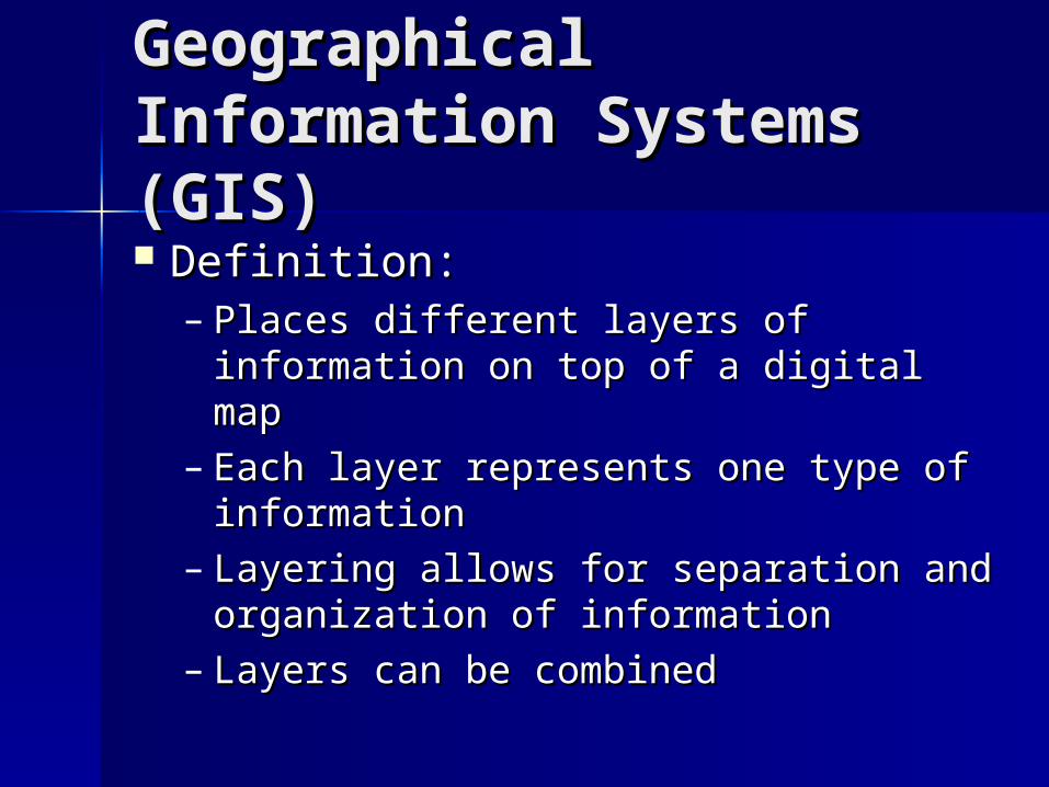
Geographical Geographical Information Systems Information Systems (GIS)(GIS) Definition:Definition:
– Places different layers of information Places different layers of information on top of a digital mapon top of a digital map
– Each layer represents one type of Each layer represents one type of informationinformation
– Layering allows for separation and Layering allows for separation and organization of informationorganization of information
– Layers can be combinedLayers can be combined
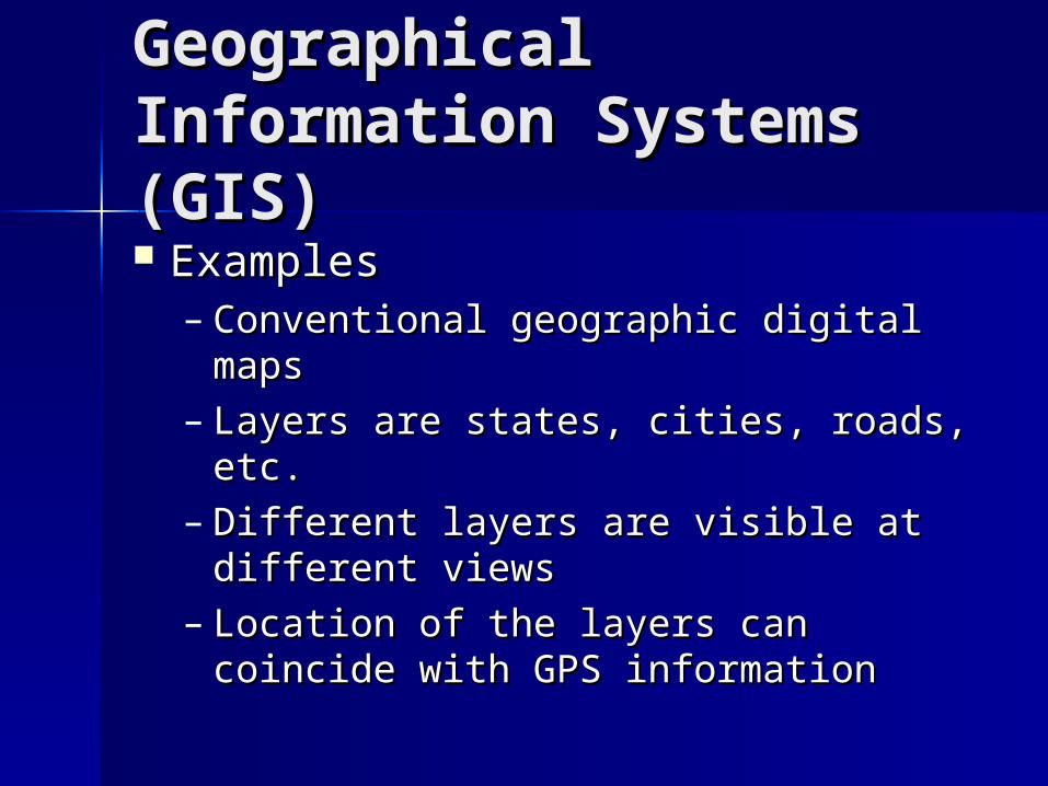
Geographical Geographical Information Systems Information Systems (GIS)(GIS) ExamplesExamples
– Conventional geographic digital Conventional geographic digital mapsmaps
– Layers are states, cities, roads, etc.Layers are states, cities, roads, etc.– Different layers are visible at Different layers are visible at
different viewsdifferent views– Location of the layers can coincide Location of the layers can coincide
with GPS informationwith GPS information
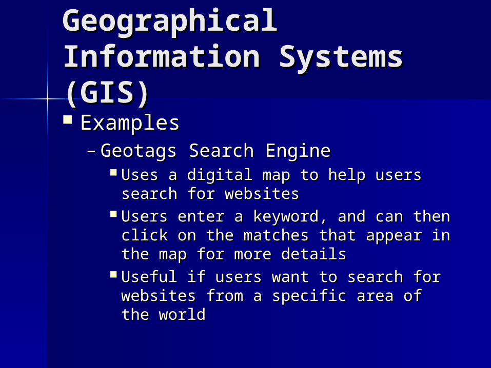
Geographical Geographical Information Systems Information Systems (GIS)(GIS) ExamplesExamples
– Geotags Search EngineGeotags Search Engine Uses a digital map to help users search Uses a digital map to help users search
for websitesfor websites Users enter a keyword, and can then Users enter a keyword, and can then
click on the matches that appear in the click on the matches that appear in the map for more detailsmap for more details
Useful if users want to search for Useful if users want to search for websites from a specific area of the websites from a specific area of the worldworld

Location Based Location Based ServicesServices Use the user location information Use the user location information
to provide location-specific serviceto provide location-specific service Needs to know user location Needs to know user location
relative to the desired information relative to the desired information Usually uses GPS informationUsually uses GPS information ExamplesExamples
– How to get there from hereHow to get there from here– Restaurants nearbyRestaurants nearby

Adaptive HypermediaAdaptive Hypermedia
Attempts to present the user with Attempts to present the user with relevant information onlyrelevant information only
Stores a user’s profileStores a user’s profile Alters information the user seesAlters information the user sees Learns what information the user likes Learns what information the user likes
and dislikesand dislikes Example – web browsingExample – web browsing Can be combined with other systems Can be combined with other systems
like location basedlike location based
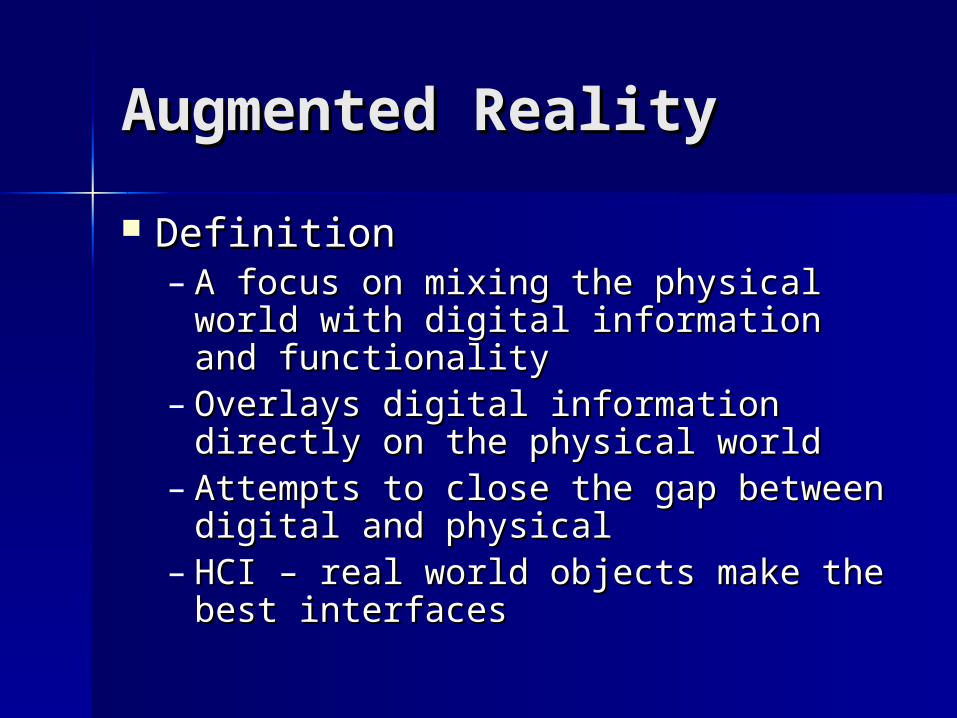
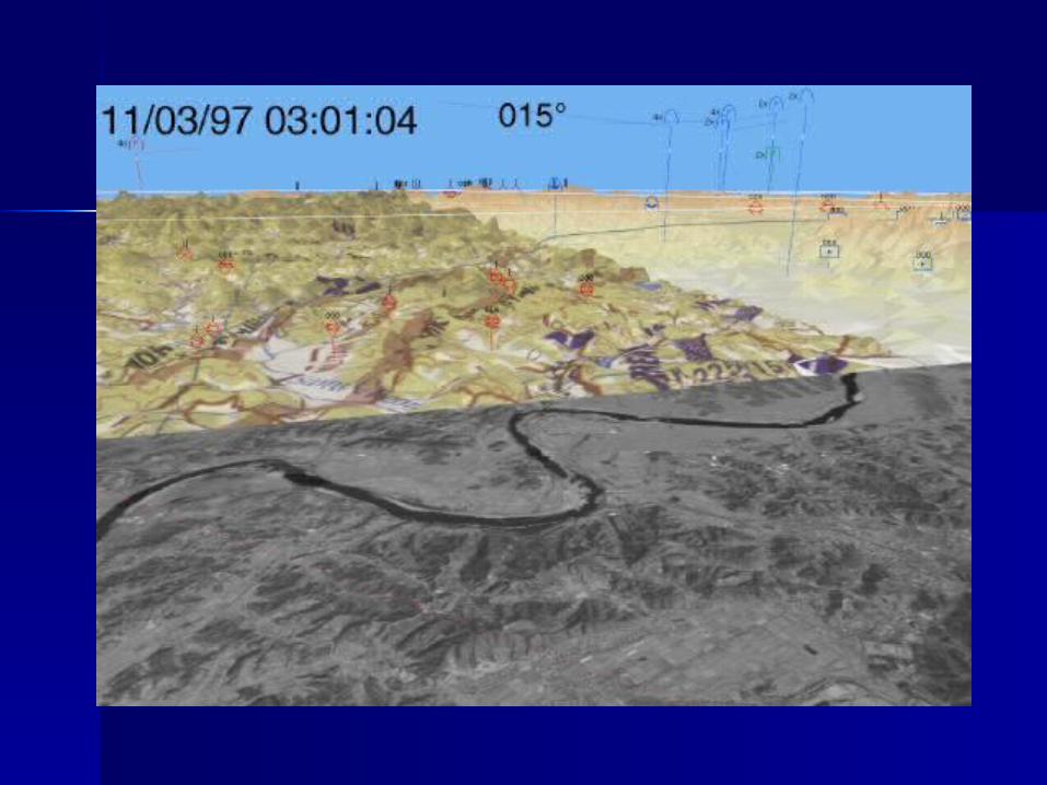
Augmented RealityAugmented Reality
DefinitionDefinition– A focus on mixing the physical world A focus on mixing the physical world
with digital information and with digital information and functionalityfunctionality
– Overlays digital information directly Overlays digital information directly on the physical worldon the physical world
– Attempts to close the gap between Attempts to close the gap between digital and physicaldigital and physical
– HCI – real world objects make the HCI – real world objects make the best interfacesbest interfaces
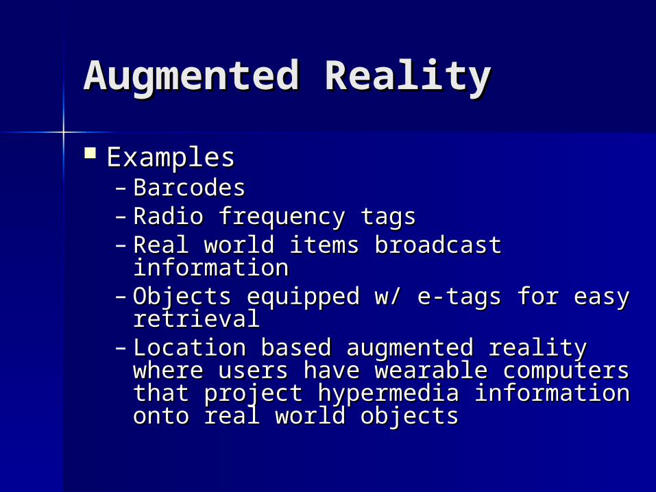
Augmented RealityAugmented Reality
ExamplesExamples– BarcodesBarcodes– Radio frequency tagsRadio frequency tags– Real world items broadcast Real world items broadcast
informationinformation– Objects equipped w/ e-tags for easy Objects equipped w/ e-tags for easy
retrievalretrieval– Location based augmented reality Location based augmented reality
where users have wearable computers where users have wearable computers that project hypermedia information that project hypermedia information onto real world objectsonto real world objects
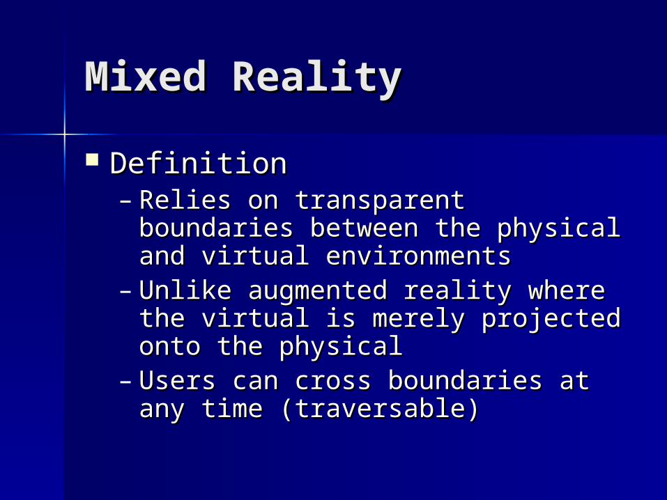
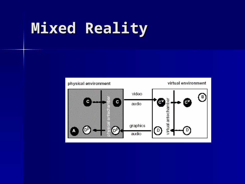
Mixed RealityMixed Reality
DefinitionDefinition– Relies on transparent boundaries Relies on transparent boundaries
between the physical and virtual between the physical and virtual environmentsenvironments
– Unlike augmented reality where the Unlike augmented reality where the virtual is merely projected onto the virtual is merely projected onto the physicalphysical
– Users can cross boundaries at any Users can cross boundaries at any time (traversable)time (traversable)
Mixed RealityMixed Reality
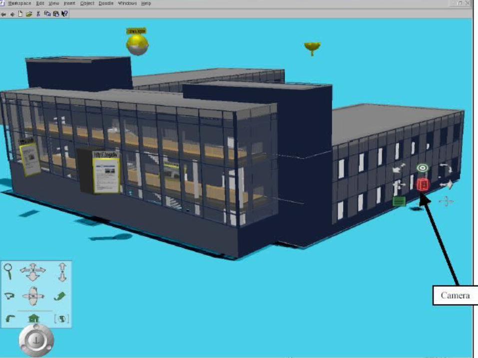
Collaborative Virtual Collaborative Virtual Environments (CVE)Environments (CVE) DefinitionDefinition
– Similar to spatial hypermedia with a Similar to spatial hypermedia with a table and cardstable and cards
– Supports multiple users in the same Supports multiple users in the same environment at one timeenvironment at one time
– Proximity rules apply to objectsProximity rules apply to objects– Proximity rules apply to usersProximity rules apply to users

Collaborative Virtual Collaborative Virtual Environments (CVE)Environments (CVE) Example:Example:
– A CVE modeled after a real-world office A CVE modeled after a real-world office buildingbuilding
– If a user is online, the user will be seated at If a user is online, the user will be seated at his deskhis desk
– Documents are organized by department or Documents are organized by department or by their author (employee’s desk)by their author (employee’s desk)
– Users must come close enough to other users Users must come close enough to other users to be able to see them and then to be able to see them and then communicatecommunicate
– Users must come close enough to documents Users must come close enough to documents to access themto access them
CombinationsCombinations
Common principle – Combine two Common principle – Combine two good ideas to make a great ideagood ideas to make a great idea
Hybrid systems get more out of Hybrid systems get more out of these principlesthese principles
Hybrids increase system Hybrids increase system functionality and usefulnessfunctionality and usefulness
The future ideal systems will be The future ideal systems will be hybridshybrids
CombinationsCombinations
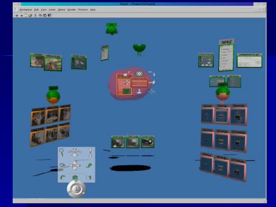
Example:Example:– ToposTopos
An architectural editing tool that allows An architectural editing tool that allows architects to browse the progress of the architects to browse the progress of the site constructionsite construction
Combines CVE, GIS, and Spatial Combines CVE, GIS, and Spatial HypermediaHypermedia
– CVE – many users at onceCVE – many users at once– GIS – location sensitiveGIS – location sensitive– S.H. – objects are organized on a workspaceS.H. – objects are organized on a workspace
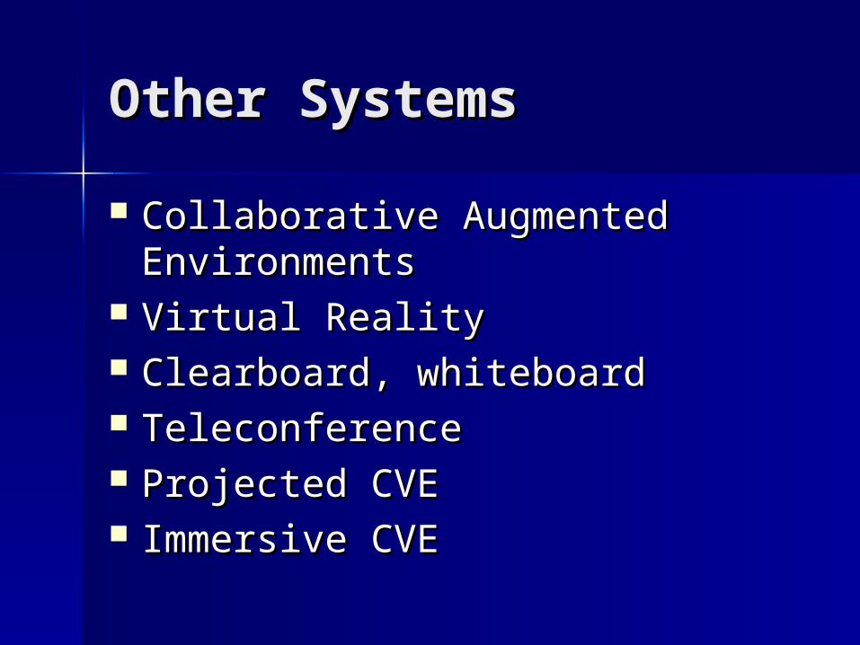
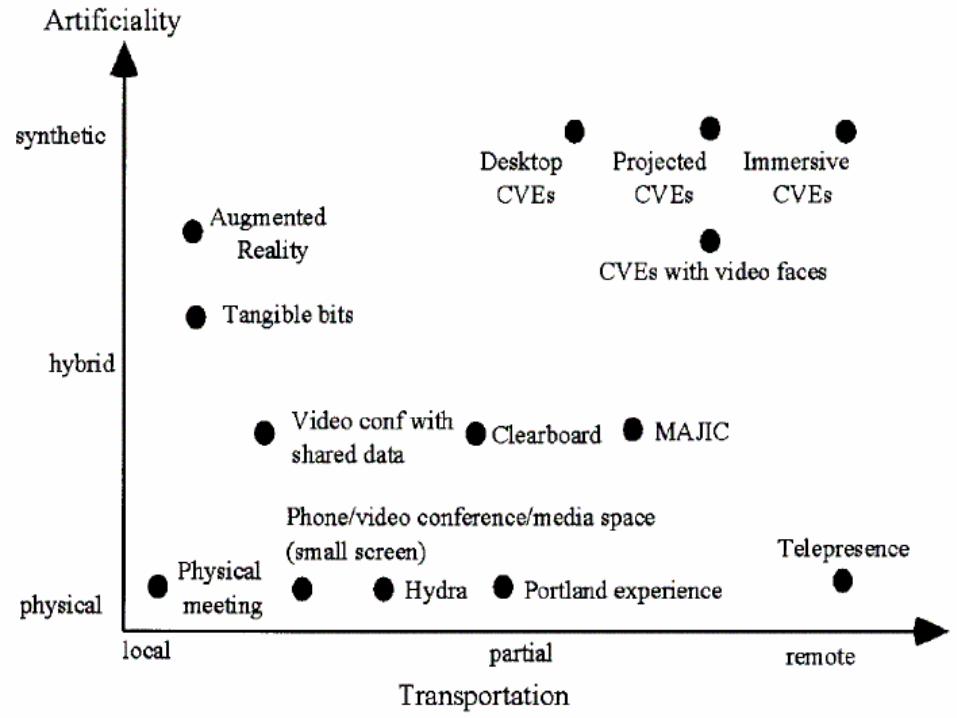
Other SystemsOther Systems
Collaborative Augmented Collaborative Augmented EnvironmentsEnvironments
Virtual RealityVirtual Reality Clearboard, whiteboardClearboard, whiteboard TeleconferenceTeleconference Projected CVEProjected CVE Immersive CVEImmersive CVE
ConclusionsConclusions
Great technologies exist today Great technologies exist today alreadyalready
Key is to refine themKey is to refine them Combining similar existing systems Combining similar existing systems
adds functionality and creates new adds functionality and creates new systemssystems
Make computers more adaptive to Make computers more adaptive to human behavior, not the other way human behavior, not the other way aroundaround

Any Questions?Any Questions?