spatial query by sketch 研一 693520404 張永昌. agenda abstract introduction spatial query...
Post on 20-Dec-2015
239 views
TRANSCRIPT

Spatial Query by Sketch
研一 693520404 張永昌
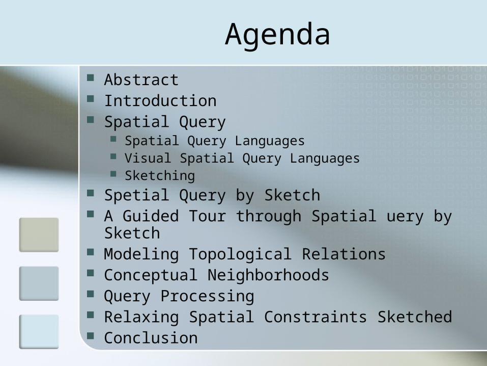
Agenda Abstract Introduction Spatial Query
Spatial Query Languages Visual Spatial Query Languages Sketching
Spetial Query by Sketch A Guided Tour through Spatial uery by Sketch Modeling Topological Relations Conceptual Neighborhoods Query Processing Relaxing Spatial Constraints Sketched Conclusion
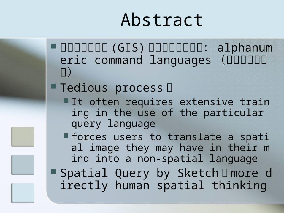
Abstract 讓地理資訊系統 (GIS) 和地理資料庫互
動: alphanumeric command languages (文數字命令語言)
Tedious process : It often requires extensive training in t
he use of the particular query language forces users to translate a spatial imag
e they may have in their mind into a non-spatial language
Spatial Query by Sketch : more directly human spatial thinking
Introduction
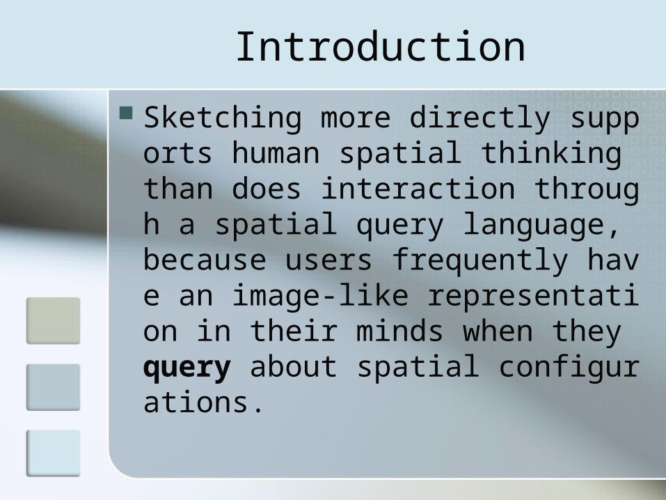
Sketching more directly supports human spatial thinking than does interaction through a spatial query language, because users frequently have an image-like representation in their minds when they query about spatial configurations.
Spatial Query
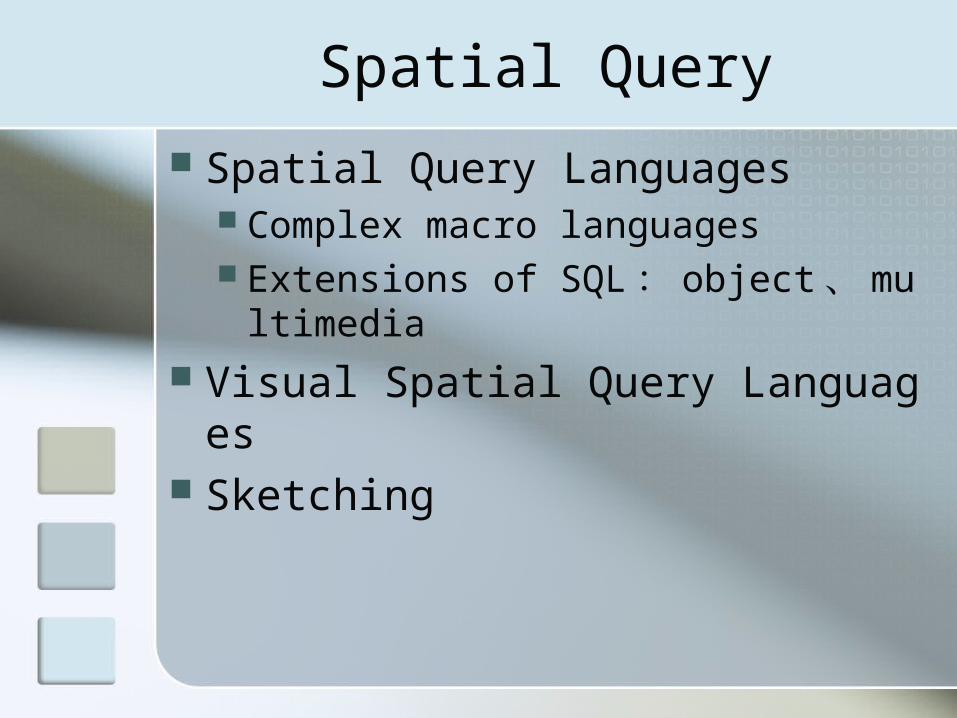
Spatial Query Languages Complex macro languages Extensions of SQL : object 、 multime
dia Visual Spatial Query Languages Sketching
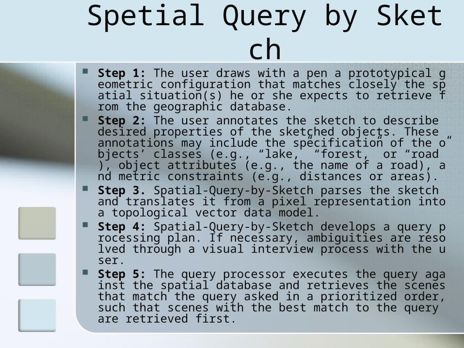
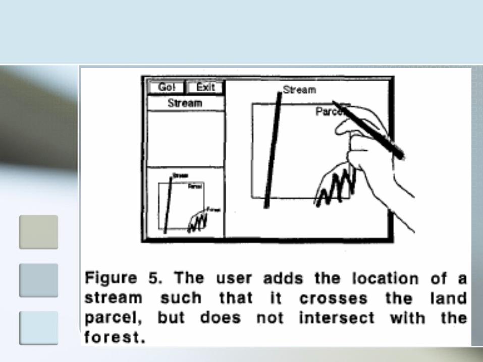
Spetial Query by Sketch Step 1: The user draws with a pen a prototypical geometr
ic configuration that matches closely the spatial situation(s) he or she expects to retrieve from the geographic database.
Step 2: The user annotates the sketch to describe desired properties of the sketched objects. These annotations may include the specification of the objects’ classes (e.g., “lake,” “forest,” or “road”), object attributes (e.g., the name of a road), and metric constraints (e.g., distances or areas).
Step 3. Spatial-Query-by-Sketch parses the sketch and translates it from a pixel representation into a topological vector data model.
Step 4: Spatial-Query-by-Sketch develops a query processing plan. If necessary, ambiguities are resolved through a visual interview process with the user.
Step 5: The query processor executes the query against the spatial database and retrieves the scenes that match the query asked in a prioritized order, such that scenes with the best match to the query are retrieved first.
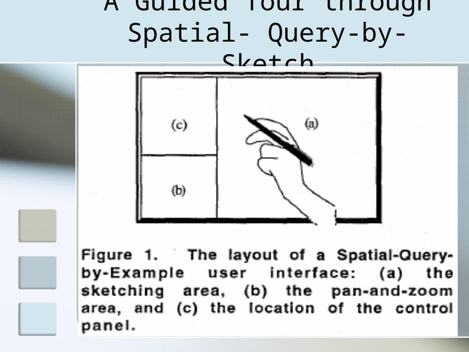
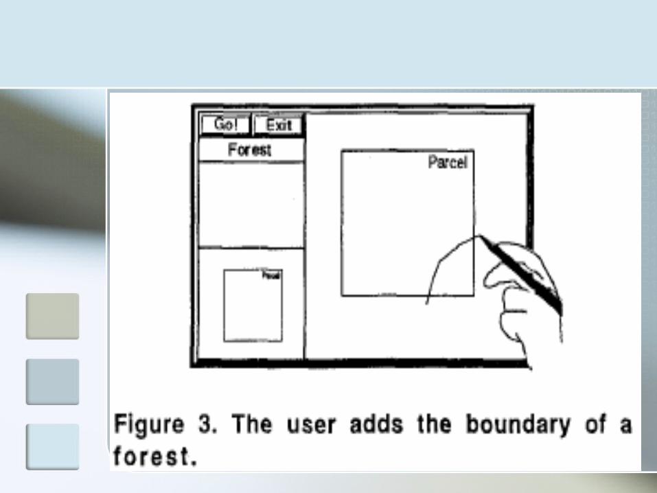
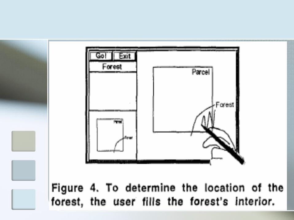
A Guided Tour through Spatial- Query-by-Sketch

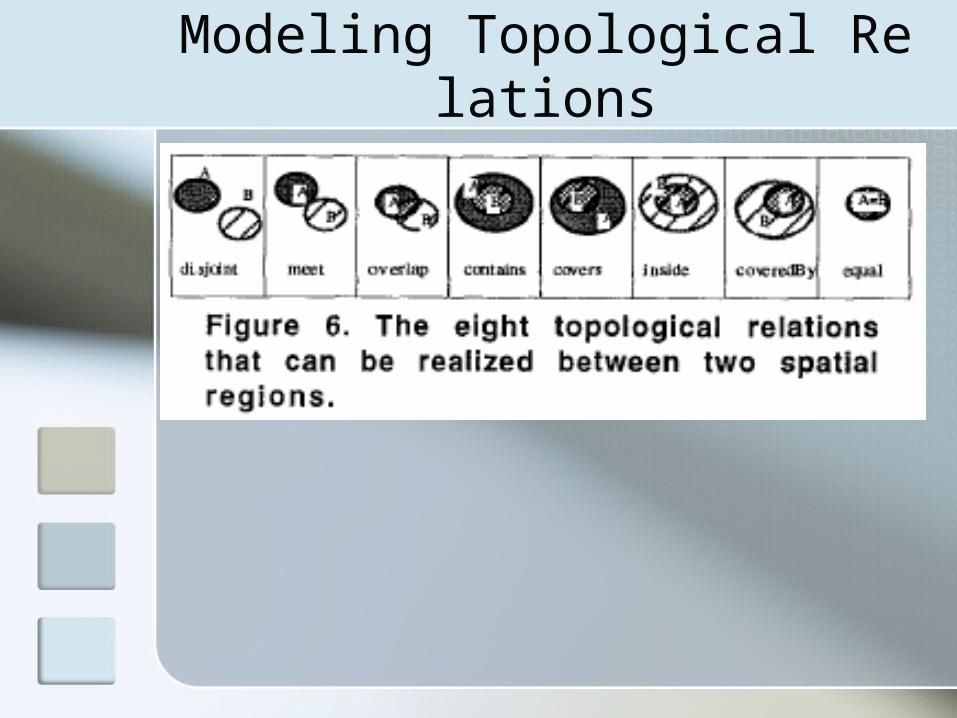
Modeling Topological Relations
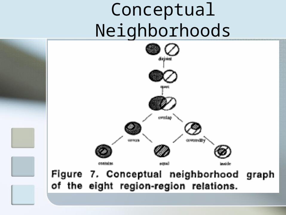
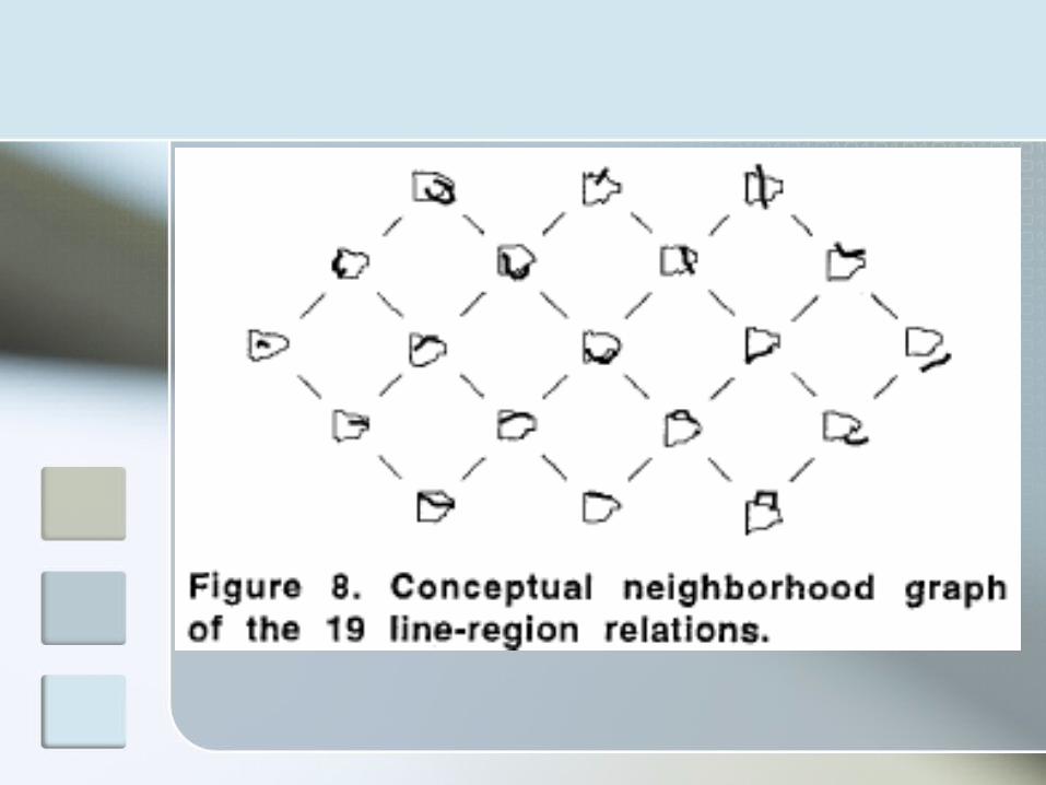
Conceptual Neighborhoods
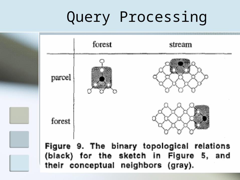
Query Processing
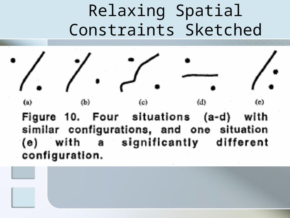
Relaxing Spatial Constraints Sketched
Conclusion
This paper presented the design principles of Spatial-Query-by-Sketch, a visual spatial query language without modes.