temporal gises of changing administrative boundaries: european comparisons
DESCRIPTION
Temporal GISes of Changing Administrative Boundaries: European Comparisons. Dr. Ian Gregory, Department of Geography, University of Portsmouth. The need for geography. Many countries have been publishing census and similar statistics for two centuries or more - PowerPoint PPT PresentationTRANSCRIPT
1 Dr. Ian Gregory
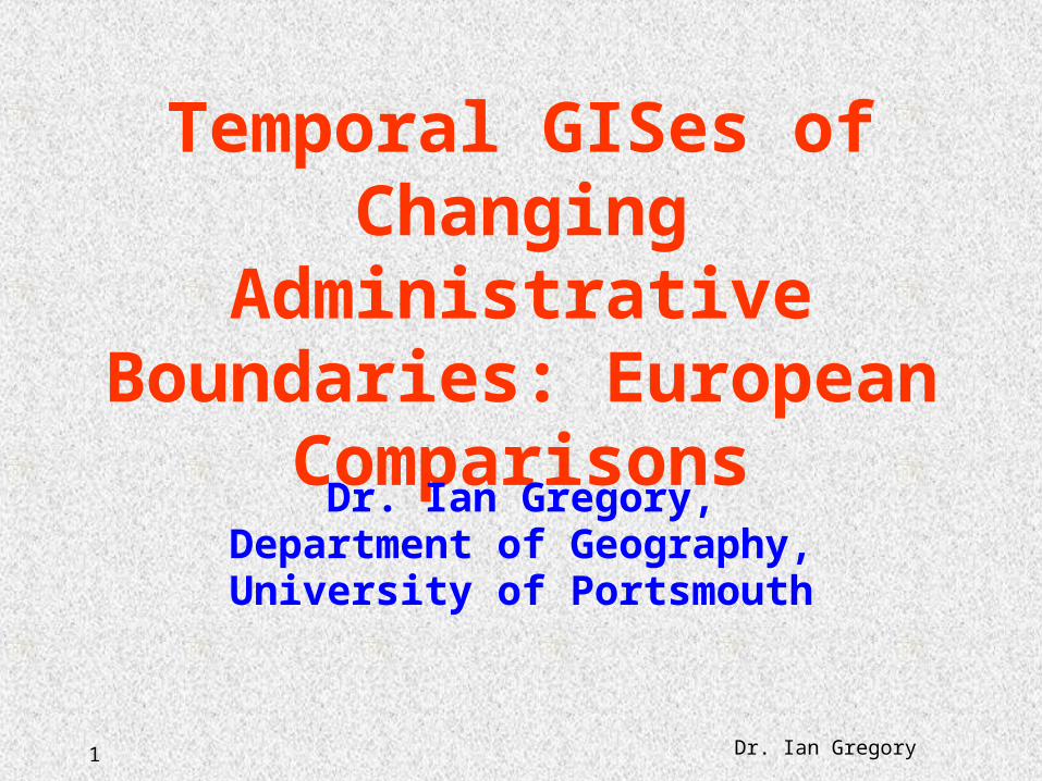
Temporal GISes of Changing Administrative
Boundaries: European Comparisons
Dr. Ian Gregory,Department of Geography,University of Portsmouth
2 Dr. Ian Gregory
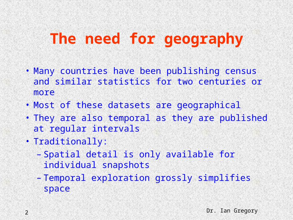
The need for geography
• Many countries have been publishing census and similar statistics for two centuries or more
• Most of these datasets are geographical• They are also temporal as they are published at
regular intervals• Traditionally:
– Spatial detail is only available for individual snapshots
– Temporal exploration grossly simplifies space
3 Dr. Ian Gregory
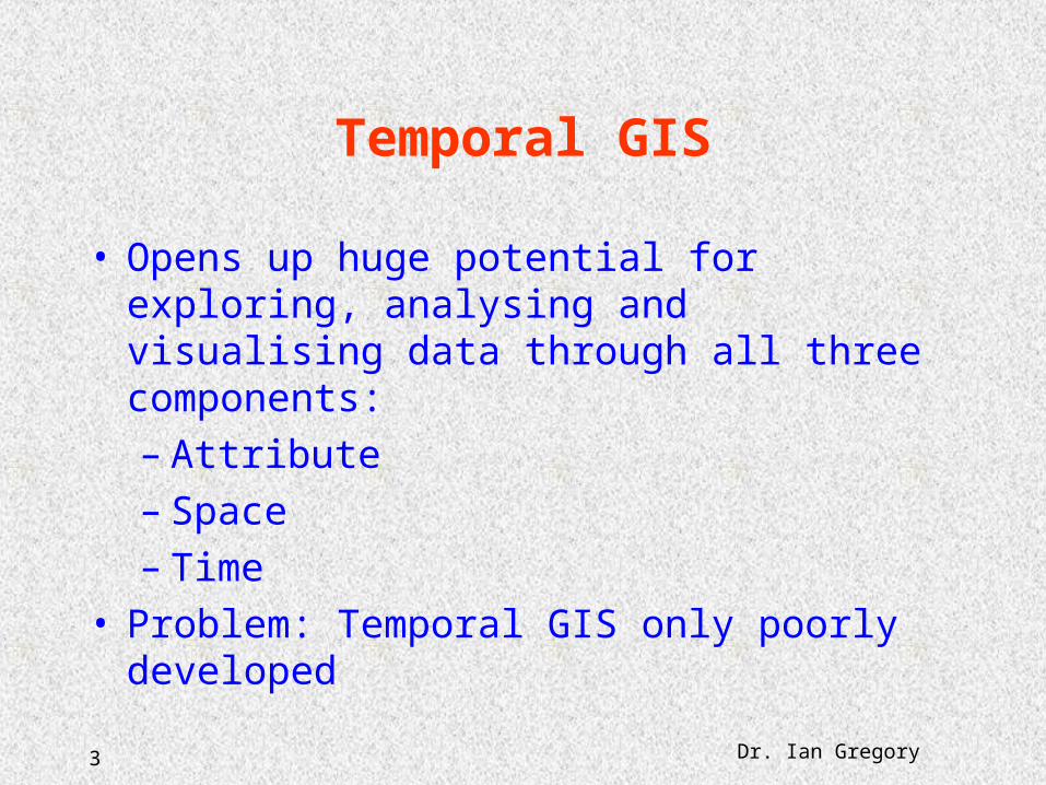
Temporal GIS
• Opens up huge potential for exploring, analysing and visualising data through all three components:– Attribute– Space– Time
• Problem: Temporal GIS only poorly developed
4 Dr. Ian Gregory
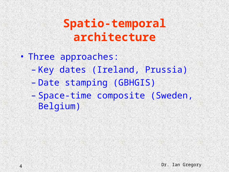
Spatio-temporal architecture
• Three approaches:– Key dates (Ireland, Prussia)– Date stamping (GBHGIS)– Space-time composite (Sweden, Belgium)
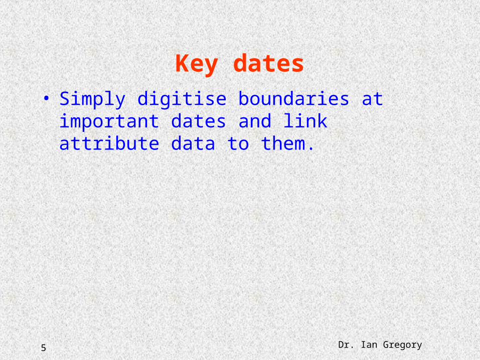
5 Dr. Ian Gregory
Key dates• Simply digitise boundaries at important dates and
link attribute data to them.

6 Dr. Ian Gregory
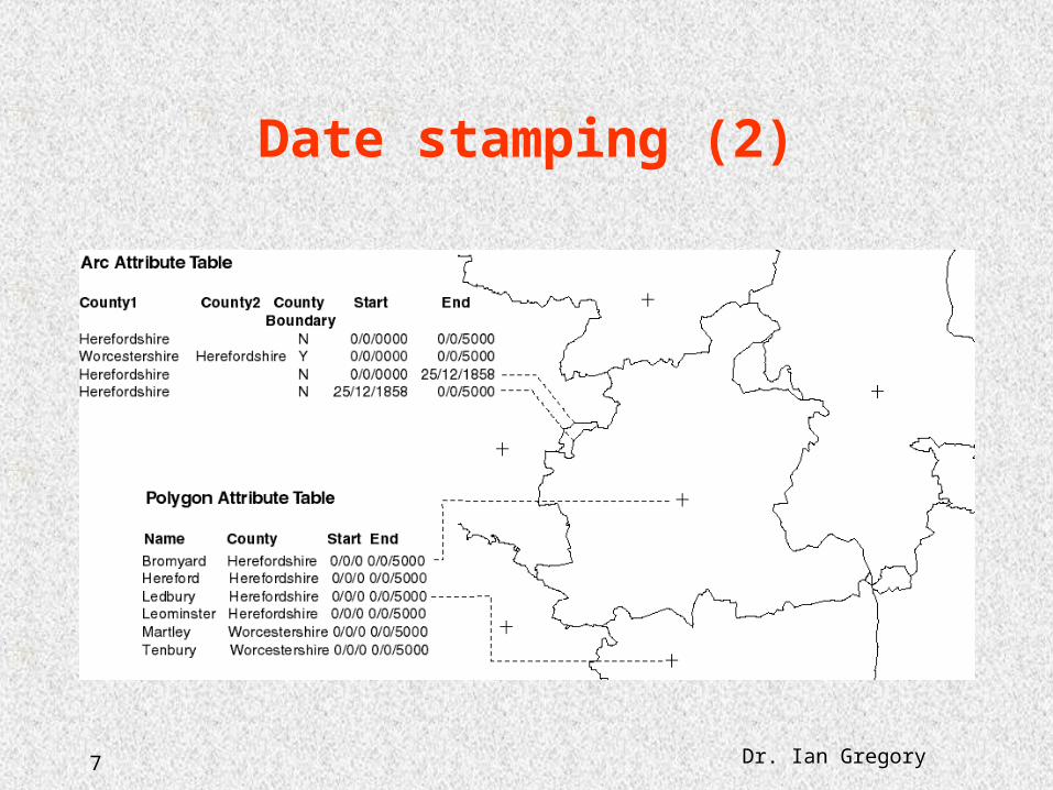
Date stamping
7 Dr. Ian Gregory
Date stamping (2)

8 Dr. Ian Gregory
Space-time composite
9 Dr. Ian Gregory
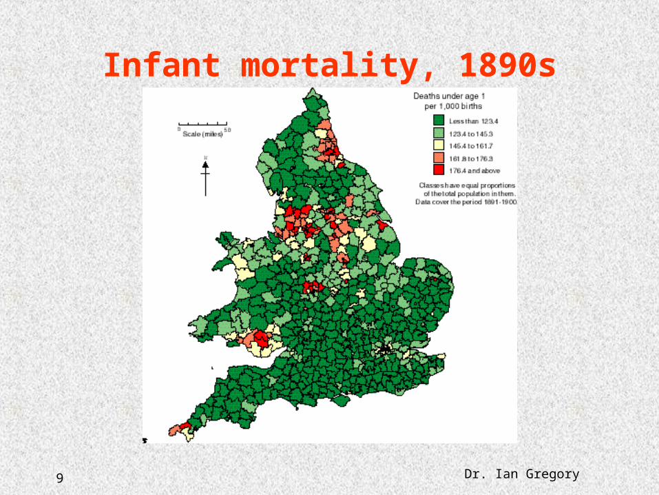
Infant mortality, 1890s

10 Dr. Ian Gregory
Infant mortality, 1890s (2)
11 Dr. Ian Gregory
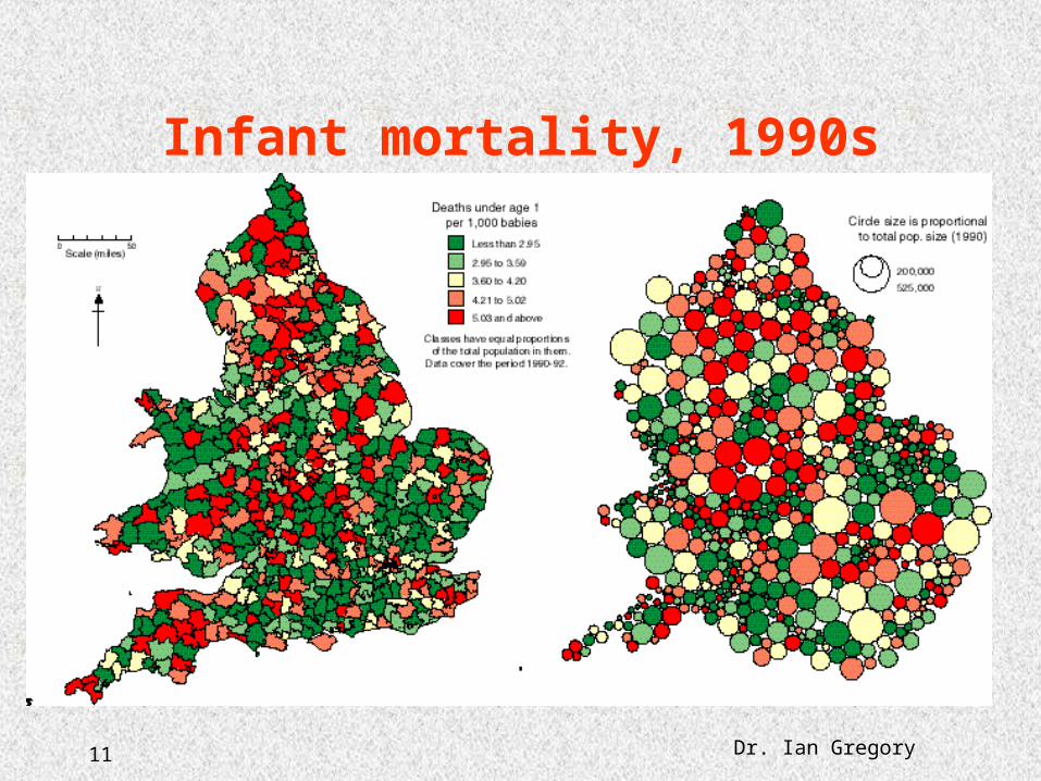
Infant mortality, 1990s

12 Dr. Ian Gregory
Conclusions• There are three main approaches to building
temporal GISes of changing administrative units• The key dates approach is the simplest but
provides a good starting point for either of the others
• Once built systems such as these open up massive new potential for understanding the past
• A version of this paper is forthcoming in Transactions in GIS