the cartel project - world banksiteresources.worldbank.org/inttransport/resources/... · ·...
TRANSCRIPT

The CarTel ProjectLewis Girod
M.I.T. Computer Science & Artificial Intelligence Lab
cartel.csail.mit.edu
P j t PI H i B l k i h S M dd D i l

MIT/CSAIL
• MIT Computer Science and Artificial Intelligence Laboratory (CSAIL)– Entrepreneurial approach
• Spawned over 100 technology companies• Industrial Liaison Program develops relationships with
industry
– Interdisciplinary approach• Primarily within Electrical Engineering and Computer Science
Dept• Collaboration and overlap with Mathematics, Cog Sci,
Mechanical Engineering, Civil and Environmental Eng, Media Arts and Sciences, Health Sciences, Bioinformatics
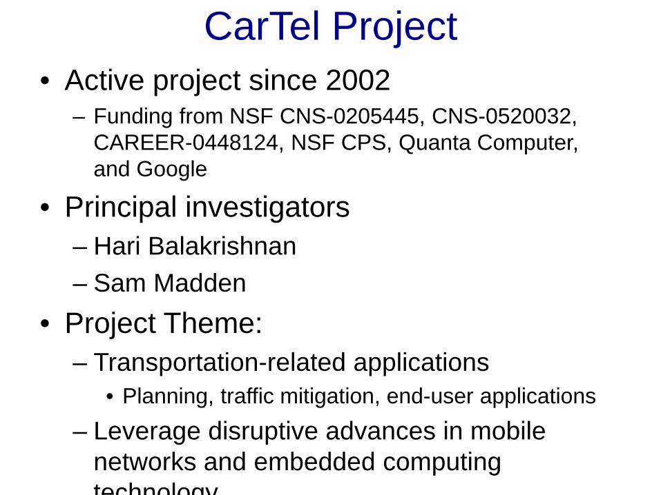
CarTel Project• Active project since 2002
– Funding from NSF CNS-0205445, CNS-0520032, CAREER-0448124, NSF CPS, Quanta Computer, and Google
• Principal investigators– Hari Balakrishnan– Sam Madden
• Project Theme: – Transportation-related applications
• Planning, traffic mitigation, end-user applications– Leverage disruptive advances in mobile
networks and embedded computing technology

Many Traffic Data Sources• Installed loop sensors• GPS sensors in service vehicles
– Transport service vehicles (taxis, busses, etc)– Commercial fleets (delivery networks)– Government vehicles
• Personal mobile phones– Smartphones with GPS– Cellular location services
• Each has benefits and liabilities– CarTel technology applies to entire spectrum– Innovation in both data collection and data analysis
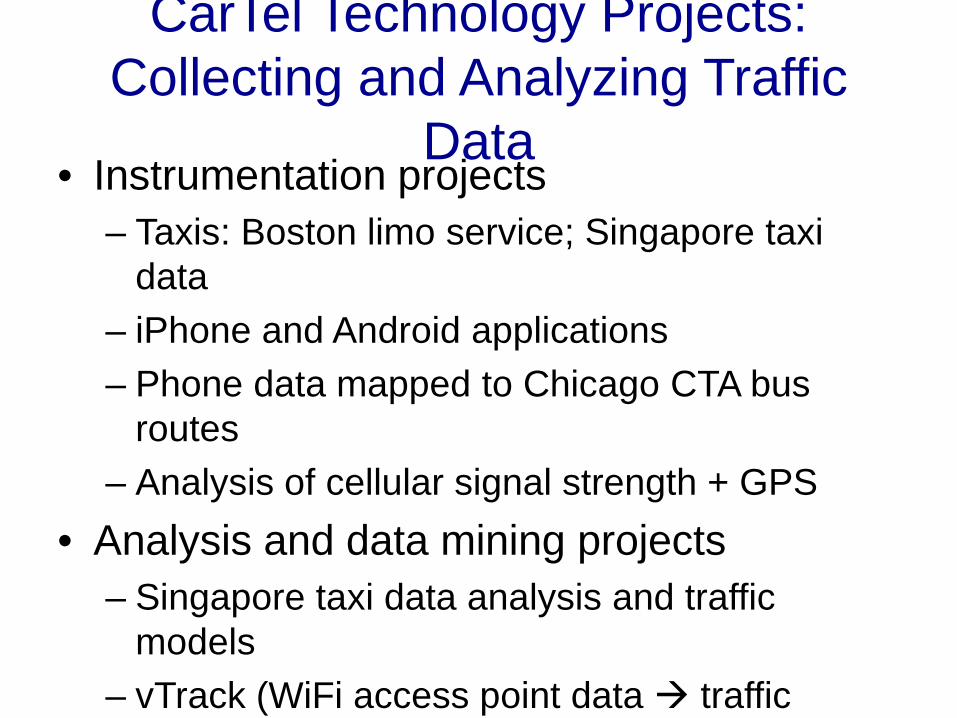
CarTel Technology Projects: Collecting and Analyzing Traffic
Data • Instrumentation projects
– Taxis: Boston limo service; Singapore taxi data
– iPhone and Android applications– Phone data mapped to Chicago CTA bus
routes– Analysis of cellular signal strength + GPS
• Analysis and data mining projects– Singapore taxi data analysis and traffic
models– vTrack (WiFi access point data traffic

Application to 3 challenges
• Encourage participation, provide info to public– iCarTel smartphone app and web portal– Chicago CTA “crowdsourced” bus routes
• Identify urgent needs, support planning– Large-scale traffic data collection and mining
• VTrack, CTrack, phone applications
• Ultra low cost probe devices– Smartphones, feature phones– Ultra-low-cost dedicated probes
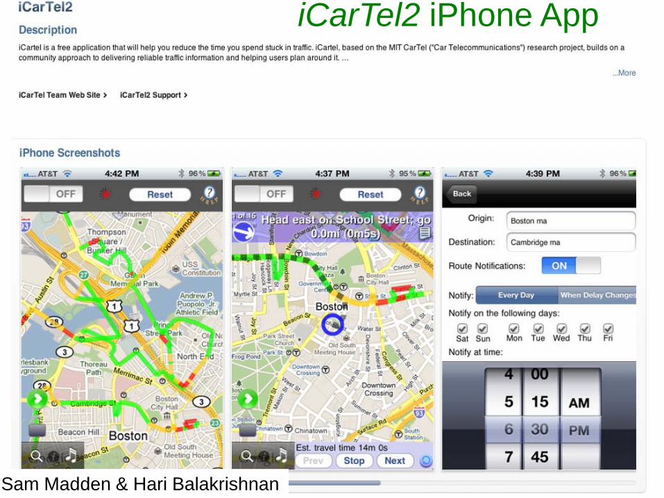
iCarTel2 iPhone App
Sam Madden & Hari Balakrishnan
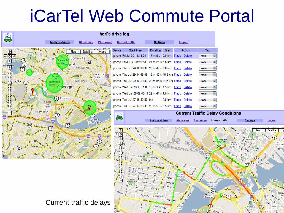
Current traffic delays
iCarTel Web Commute Portal
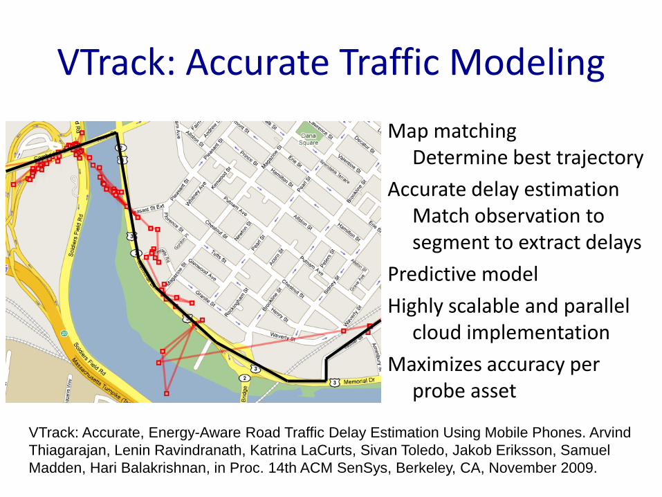
VTrack: Accurate Traffic Modeling
Map matchingDetermine best trajectory
Accurate delay estimationMatch observation to segment to extract delays
Predictive model
Highly scalable and parallel cloud implementation
Maximizes accuracy per probe asset
VTrack: Accurate, Energy-Aware Road Traffic Delay Estimation Using Mobile Phones. Arvind Thiagarajan, Lenin Ravindranath, Katrina LaCurts, Sivan Toledo, Jakob Eriksson, Samuel Madden, Hari Balakrishnan, in Proc. 14th ACM SenSys, Berkeley, CA, November 2009.

CTrack: Map Matching and Delay Estimation from Raw Cellular RSSI Data
HMM fingerprints to grid sequence
HMM smooth grid to map
Raw points (placelab)
Smooth + interpolate
grid sequenceAccurate, Low-Energy Trajectory Mapping for Mobile Devices. Arvind Thiagarajan, Lenin S. Ravindranath, Hari Balakrishnan, Samuel Madden, Lewis Girod, Proc. NSDI, Boston, MA, 2011.

Technical Approach
Internet
Servers in the cloud
Smartphones in vehicles
Highly granular raw position collectionAggregation provides environmental
infoDetails enable personalized service
Modeling, prediction, analysis
Location-based vehicular services
VTrack / CTrack delay estimationTraffic-aware routing

Singapore: Delay Model: AYE (4037)
Distance: 186 meter
Sejoon Lim & Daniela Rus

Chicago CTA Bus Route Experiment
• Goal: Deduce and predict actual bus route timing based on rider phone reports
• Match rider observations against bus routes
• System based on iPhone application + server based data mining
• Made use of GPS and acceleration sensors
• Enables riders to better anticipate bus arrival
Arvind Thiagarajan, James Biagioni, Tomas Gerlich, and Jakob Eriksson. Cooperative transit tracking using gps-enabled smartphones. In SenSys, pages 85-98. ACM, 2010.

Reducing cost of probes
• Smartphones/Java phones – works “out of the box”
• Feature phones – need provider cooperation to gather RSSI data; analysis via Ctrack
• Lowering costs of dedicated embedded solutions– Probe data alternatives:
• GPS – probe costs as little as $15 in high volume• Cellular RSSI via passive monitoring of cellular signaling• WiFi RSSI + opportunistic upload
– Data upload mechanisms: • Opportunistic WiFi
I t hi l i ti WiFi Bl t th h t

Overview• Traffic mitigation technology to
– Scalably process raw data from mobile phones to produce accurate traffic models
– Produce user-specific traffic-optimized routes and schedules
– Reduce overall costs of data collection and analysis
• Enables commute optimization for consumers and tools for planners
• http://cartel.csail.mit.edu