the pacific northwest rivers study - fish data for the
TRANSCRIPT
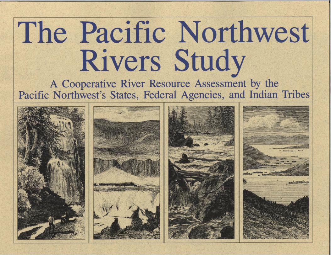
The Pacific NorthwestRivers Study
A Cooperative River Resource Assessment by thePacific Northwest's States, Federal Agencies, and Indian Tribes
OverviewStudL
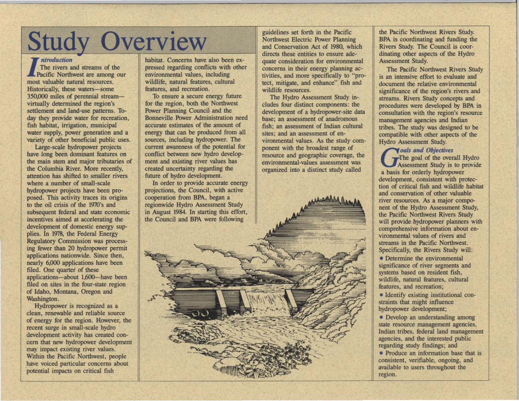
ntroductionThe rivers and streams of the
Pacific Northwest are among ourmost valuable natural resources.Historically, these waters-some350,000 miles of perennial streamvirtually determined the region'ssettlement and land-use patterns. Today they provide water for recreation,fish habitat, irrigation, municipalwater supply, power generation and a'variety of other beneficial public uses.
Large-scale hydropower projectshave long been dominant features onthe main stem and major tributaries ofthe Columbia River. More recently,attention has shifted to smaller riverswhere a number of small-scalehydropower projects have been proposed. This activity traces its originsto the oil crisis of the 1910's andsubsequent federal and state economicincentives aimed at accelerating thedevelopment of domestic energy supplies. In 1978, the Federal EnergyRegulatory Commission was processing fewer than 20 hydropower permitapplications nationwide. Since then,nearly 6,000 applications have beenflied. One quarter of theseapplications-about 1,600--have beenflied on sites in the four-state regionof Idaho, Montana, Oregon andWashington.
Hydropower is recognized as aclean, renewable and reliable sourceof energy for the region. However, therecent surge in small-scale hydrodevelopment activity has created concern that new hydropower developmentmay impact existing river values.Within the Pacific Northwest, peoplehave voiced particular concerns aboutpotential impacts on critical fish
habitat. Concerns have also been expressed regarding conflicts with otherenvironmental values, includingwildlife, natural features, culturalfeatures, and recreation.
To ensure a secure energy futurefor the region, both the NorthwestPower Planning Council and theBonneville Power Administration needaccurate estimates of the amount ofenergy that can be produced from allsources, including hydropower. Thecurrent awareness of the potential forconflict between new hydro development and existing river values hascreated uncertainty regarding thefuture of hydro development.
In order to provide accurate energyprojections, the Council, with activecooperation from BPA, began aregionwide Hydro Assessment Studyin August 1984. In starting this effort,the Council and BPA were following
guidelines set forth in the PacificNorthwest Electric Power Planningand Conservation Act of 1980, whichdirects these entities to ensure adequate consideration for environmentalconcerns in their energy planning activities, and more specifically to "protect, mitigate, and enhance" fish andwildlife resources.
The Hydro Assessment Study includes four distinct components: thedevelopment of a hydropower-site database; an assessment of anadromousfish; an assessment of Indian culturalsites; and an assessment of environmental values. As the study component with the broadest range ofresource and geographic coverage, theenvironmental-values assessment wasorganized into a distinct study called
the Pacific Northwest Rivers Study.BPA is coordinating and funding theRivers Study. The Council is coordinating other aspects of the HydroAssessment Study.
The Pacific Northwest Rivers Studyis an intensive effort to evaluate anddocument the relative environmentalsignificance of the region's rivers andstreams. Rivers Study concepts andprocedures were developed by BPA inconsultation with the region's resourcemanagement agencies and Indiantribes. The study was designed to becompatible with other aspects of theHydro Assessment Study.
Gools and Objectives:rhe goal of the overall HydroAssessment Study is to provide
a basis for orderly hydropowerdevelopment, consistent with protection of critical fish and wildlife habitatand conservation of other valuableriver resources. As a major component of the Hydro Assessment Study,the Pacific Northwest Rivers Studywill provide hydropower planners withcomprehensive information about environmental values of rivers andstreams in the Pacific Northwest.Specifically, the Rivers Study will:
• Determine the environmentalsignificance of river segments andsystems based on resident fish,wildlife, natural features, culturalfeatures, and recreation;• Identify existing institutional constraints that might influencehydropower development;• Develop an understanding amongstate resource management agencies,Indian tribes, federal land managementagencies, and the interested publicregarding study fmdings; and• Produce an information base that isconsistent, verifiable, ongoing, andavailable to users throughout theregion.
ProcessDBoth BPA and theCouncil will consider the
results of the Rivers Study in theirenergy-planning activities. Theseinclude:Energy Supply Forecasting.Both the Council and BPA produceforecasts of regional energy supply.Rivers Study results will increase theaccuracy of regional hydropower supply forecasts.Protected Areas.The Rivers Study will provide information on the region's imponant resident fish and wildlife habitat. Whencombined with the results of the otherelements of the Hydro AssessmentStudy, this information will enable theCouncil to designate protected areas(areas where hydropower developmentis deemed inappropriate). This is required by the Council's Fish &Wildlife Program.Hydropower Site Ranking.The Nnrthwest Conservation and Electric Power Plan provides for the Council to rank hydropower sites based onfish and wildlife concerns. An interimsite ranking was completed by theregion's resource agencies in 1985; theresults of the Rivers Study will beused to refine that ranking.
Beyond these specific uses, theRivers Study will produce a consistent, interagency information basewhich should help to promoteunderstanding among hydropowerdevelopers, environmental organizations, management authorities, and thegeneral public. While participatingagencies and management authoritiesare not obligated to use study results,it is anticipated that the study information will be used by these entitiesin their effons to make decisionsregarding hydropower facility sitingand development.
S ludy ComponentsThe Rivers Study will evaluate
the region's rivers for the following resource values:Resident FISh
"Resident fish" refers to game andnongame fish species that reside infresh water throughout their lives. Theassessment focuses on habitat, speciescomposition, and public use.Wildlife
"Wildlife" refers to game andnongame animals and birds that inhabitriver and stream corridors. Habitattypes, species composition, and publicuse are the major assessment criteria.Natural Features
"Natural features" refers to riverrelated endangered or threatened plants,unique plant communities, and geologic and hydrologic features. Assessment criteria include scarcity, scientificvalue, recreational use, and vulnerability.Cultural Features
"Cultural features" includes archeological, architectural, and otherhistoric sites locatedwithin river corridors.These resources areevaluated in termsof the criteria for theNational Register ofHistoric Places.Recreation
"Recreation"refers to leisure activities thatare directly or indirectly dependent upon flowing waters. Boatingand water activities are emphasized.Institutional Constraints
"Institutional constraints" includeslaws, policies, plans, ordinances, andother administrative mechanisms thatprohibit, limit, or otherwise imposeconditions on hydropower development.Federal constraints are explicitly identified. State, local and Indian tribalconstraints are also identified.
StudQ oncept
Resource inventoty andcomparative resource assessment
are the fundamental components of theRivers Study process. Conceptually, thestudy is based on the recognition thatperceptions about the relativesignificance of a river's environmentalfeatures will playa major role indetermining whether a given development project succeeds or fails. Whilethe decision to develop or prohibitspecific hydropower facilities must, ofcourse, consider project design andoperation. a resource assessment canidentify relevant environmental considerations and indicate the potentialfor adverse impact and use conflict.
The Rivers Study will produce acomprehensive and consistent productthat will have utility as a strategicplanning tool. Information can serve as, J' an initial environmental scop-\! ing for developers and
regulators by identifying areaswhere minimal adverse en
vironmental impact can
be anticipated-and thus, where development might be most appropriate.
The scope of the study is restrictedto inventoty and assessment. Thestudy will not set policy or make sitespecific development decisions. It isnot the intent of the project to dilutethe existing management responsibilities of participating agencies andIndian tribes, nor to eliminate theneed to consult with these agenciesand Indian tribes in accordance withexisting laws and regulations duringthe hydropower licensing process.
OffuaniZAJione Pacific Northwest Rivers
Study utilizes existing governmental programs and structures. Itdivides responsibilities among participants, emphasizes the role ofresource expens, and provides forpublic input and review.
Separate yet coordinatedassessments are being conductedwithin the geographic boundaries ofeach of the four Northwest states.State governors have appointed coordinators with responsibility foroverseeing the project. In turn, coordinators have designated a resourceexpe" to oversee the assessmentwithin each distinct resource category.While state agencies are providingproject coordination, the actual assessment is a joint undenaking byresource specialists from federal andstate resource agencies and theregion's Indian tribes. Emphasis isplaced on cooperative effons, thoughthere is no requirement that a consensus be reached regarding findings.Comments from the interested publicare also welcomed.

M ethodsThe assessment model usedin this study was initially
developed by the National Park Service and the State of Maine for use inthe Maine Rivers Study. The methodstresses objectivity and the development of verifiable results. To accomplish this, all river resources are evaluated without regard to specific development proposals. Extensive field workis not necessary; evaluation relies onexisting information, expert evaluation,and input from users and the public.
The ultimate result is the determination of the relative significance ofeach of the region's river and streamsegments based on environmentalvalues. Segments are not rankednumerically. Rather, they are placedinto one of four value classes: "Outstanding," "Substantial," "Moderate,"or "Limited." (Two additional classes,"Resource Not Present" and"Unknown or Unclassified" areavailable for use.)
Fundamental to the study method isthe emphasis on separate resourceassessments for each of a number ofpredetermined resource categories. Foreach category, specialists deviseassessment guidelines and conduct theassessment process.
While maintaining their status asseparate study components, allcategory evaluations are coordinated toachieve consistent results. All use thesame maps and produce compatiblegraphic and tabular information. Findings are verified through participantand public review. After review, findings from all resource categories willbe compiled into a comprehensive information system. A detailed discussion of study methods and evaluationcriteria appears in the AssessmentGuidelines document, available fromBPA and state coordinators.
~roducts
Separate products will be produced for each resource category
within each state. These include adetailed explanation of the methodemployed to conduct the assessment,including a list of information sourcesand participants; a tabular listing ofstudy findings and the informationused to derive findings; a series ofl:lOO,OOO-scale maps which graphical-
Iy depict study findings; and1:500,OOO-scaie summary maps.
The information will be incorporated into a computerized datamanagement system, which will provide the capability for update,analysis, and data transfer. Maps andresource information will be madeavailable to participants and other interested parties.
PrutkiptutnState of IdahoState of MonlaDa
State of OregonState of WasbiDgtonNorthwest Indian TribesUSn,.. Forest Service
USDI Bumw of Land ManagementUSDI Fish lIIId W"tldIite Service
USDI National Park ServiceNortItwest IW'er PIaDDiDg Council
IIonneville ~r AdminisIraIion
For further information, contact:
Carl Nellis, Idaho State Coordinator600 South Walnut, Box 25Boise, Idaho 837lJ1(208) 334-3180
Patrick Graham, Montana StateCoordinator1420 East Sixth AvenueHelena, Montana 59620(406) 444-2449
Gary Waltenbaugh, Oregon StateCoordinator102 Labor and Industries BuildingSalem, Oregon 97310(503) 378-83Z7
Steven Zubalik, Washington StateCoordinator400 East UnionOlympia, Washington 98504(206) 754.{1728
Tom Pansky, Regional CoordinatorDrew Parkin, Project ConsultantBonneville Power AdministrationP.O. Box 3621 - PRPortland, Oregon 97208(503) 230-3969