the role of cartographic visualizations to improve spatial cognition in geography fieldwork xiaoling...
TRANSCRIPT

The role of cartographic visualizations to improvespatial cognition in geography fieldwork
Xiaoling Wang, Efiom Ekpenyong, Corné P.J.M. van Elzakker, Menno-Jan Kraak
1

Faculty of Geo-information Science and Earth Observation (ITC)
2
Enschede,Netherlands

Overview
3
• Research Motivation
• Background
• Study 1
• Study 2
• Study 3

Research Motivation
4
The need for studies on
Effective cognitive gains of geography fieldwork via cartographic visualizations
Investigating the usability of cartography visualizations in the three stages of geography fieldwork

5
The best geographical knowledge construction?
In a real world: natural, social and cultural environment (Gale et al, 1990)
( Fieldwork settings in geography education)The perception of space is dominated by visual sense (Mark and Frank, 1990)
Research Motivation
Pedagogy with cartographic visualizations is less developed (Wiegand, 2006)
It has long been an issue - the relation between knowledge learning and
scientific instruments (Madsen and Camilla, 2012)
However

6
Background- Fieldwork and Geography Fieldwork
human-oriented
geography fieldwork
• Learning-oriented
• Research-oriented
Fieldwork stage
Follow-up stage
Preparation stage
physical-oriented
geography fieldwork
(From Kent et al., 1997)

7
The Geography Fieldwork in this research
Undergraduate
Human-oriented
geography fieldwork
Learning-oriented
Urban

Background- Spatial Cognition
8
spatial cognition is the mental representation of the environment
landmark knowledge, route knowledge, and survey knowledge; way-finding, distances and directions identification
how people understand the physical and human features of the environment and their relationships.
natural language descriptions direct experience: such as walking, driving and travelling visually acquired through media, such as maps and graphics
psychology
geography
9
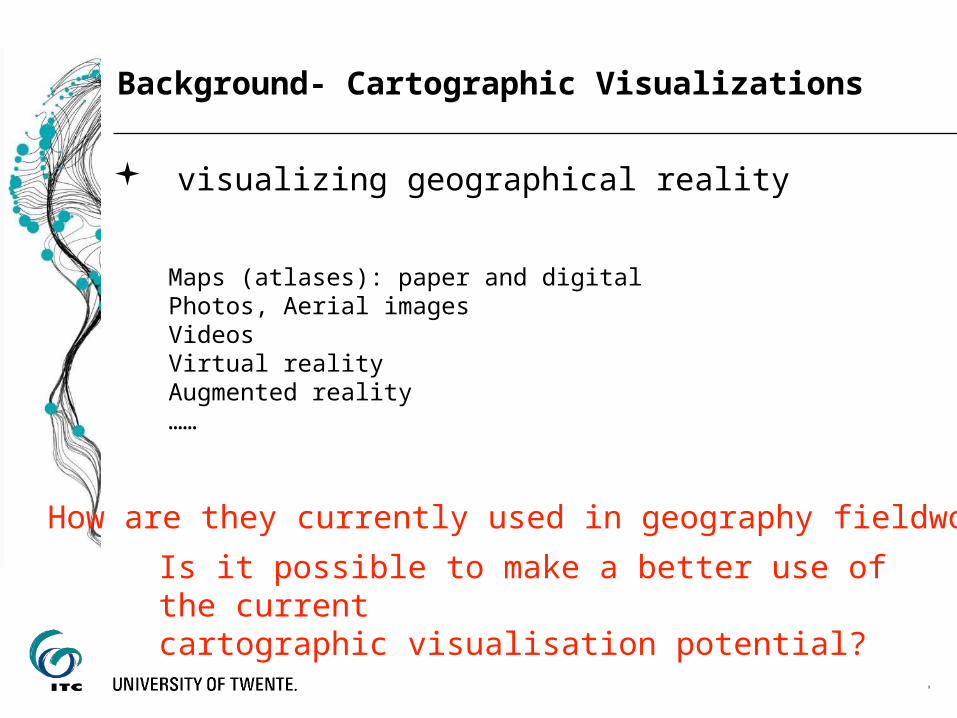
Background- Cartographic Visualizations
Maps (atlases): paper and digital Photos, Aerial imagesVideosVirtual realityAugmented reality……
visualizing geographical reality
How are they currently used in geography fieldwork?
Is it possible to make a better use of the current cartographic visualisation potential?

10
Study 1 - Methodology
Secondary source analysis
Online survey
Journal papers, books, geography fieldwork instruction, textbooks, etc.
“The role of cartographic visualizations in human geography fieldwork” Human geography fieldwork leaders

11
Study 1 - Online Survey still Open
https://www.surveymonkey.com/s/5MW37Q9

12
Study 1 - Study Results so far
Use and Usability during Fieldwork stage
Follow-up stage
Preparation stage
of human geography fieldwork

13
Study 1 - Study Results
Augmented reality
Fieldwork stage
Follow-up stage
Two cases
Ecosystem fieldwork Cultural science fieldwork
1. Personalizing the learning content based on the user’s current interests,
as well as the location in the field
2. Augmenting what students observed around them with multi-sensory data:
texts and voices notes, and pictures.
How?
useful

14
Study 2 - Interactive mapping in Human Geography Fieldwork
The theme: Textile industry collapse

15
Study 2 - Interactive mapping in Human Geography FieldworkDigital mapping tools (Locus mapping application) and traditional paper maps

16
Study 2 - Study Results -mental maps
Pre-fieldwork Post-fieldwork

17
Study 2 - Study Results- Landmarks marked on the map before and after
Pre-fieldwork Post-fieldwork
digital digitalpaper paper
TP1= Test Person 1; ……

18
Study 3- Mobile Augmented Reality

19
Study 3- Mobile Augmented Reality
Investigate its role to improve spatial cognition in two human geography fieldwork in China and an European country
Investigate its role to improve spatial cognition in two human geography fieldwork in China and an European country
• Developing a ubiquitous augmented reality by adding own components and locations to an existing augmented reality mobile application
STEP 1
STEP 2
• Investigating the usability of this mobile augmented reality tool in improving students’ spatial cognition during the human geography fieldwork
UCD (user-centred design)

20
Study 2- Case Study in China (in November, 2015)
1. Half day in the field
2. In Beijing, an area which was an embassy area during Qing Dynasty
3. Main Objective
• To understand and learn location change of embassy area in Beijing spatial pattern, and further understand and learn the change of land use through comparing several maps from dynasty of Yuan, Ming, Qing, the Republic of China and now
The human geography fieldwork in Beijing Normal University

21
Study 2- Case Study in Europe
……

22
Thanks for your attention!
Xiaoling WangPhD studentFaculty of Geo-Information Science and Earth ObservationUniversity of Twente, Enschede, The [email protected]