ththe e natinationonalal in invvenentotoryry a andnd
TRANSCRIPT

The National Inventory and The National Inventory and Monitoring Application Center Monitoring Application Center
and Forest Plan and Forest Plan Monitoring and Evaluation Monitoring and Evaluation
Chip Scott, Manager Chip Scott, Manager National Inventory and Monitoring Application National Inventory and Monitoring Application
Center Center Northern Research Station Northern Research Station
USDA Forest Service USDA Forest Service

Background Background
• Meeting with The Nature Conservancy, NatureServe, the National Park Service, and NY to discuss how to collect FIAcompatible information on their lands.
• NFS monitoring coordinators and Planners have expressed strong interest in developing a monitoring planning tool with standard protocols to help ensure that data are collected in a scientifically defensible and costeffective manner
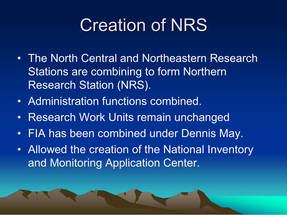
Creation of NRS Creation of NRS
• The North Central and Northeastern Research Stations are combining to form Northern Research Station (NRS).
• Administration functions combined. • Research Work Units remain unchanged • FIA has been combined under Dennis May. • Allowed the creation of the National Inventory and Monitoring Application Center.

National Inventory and National Inventory and Monitoring Application Center Monitoring Application Center
Mission: To develop leading edge forest ecosystem inventory and monitoring methods and tools to help FIA and other organizations monitor forests, resulting in comparable results across the landscape. – Conduct research on measurements, indicators, and efficient sampling and estimation methods.
– Develop application methods and tools, such as the Monitoring Toolkit – FIAcompatible, but enhanced.

Monitoring Research Monitoring Research
• Methods to make existing monitoring more efficient, such as optimal plot design
• Develop new measures and make them operational, such as Montreal C&I
• Methods to bridge gap between regional FIA survey and midscale planning needs
• Methods to bridge gap between midscale monitoring and standlevel inventory – Methods to prioritize stand exams – Small area estimation methods

Attribute and Spatial Data Attribute and Spatial Data Resolution Framework Resolution Framework
FIA Data and Standard Analysis Products
Spatial Resolution
Attribute Resolution
Low
Low
High
High
Intensified FIA Data and
Regional Analytical Methods
CSE Data Polygon Summary Data
Imputation Methods
kNN / MSN / Gradient NN

National Inventory and Monitoring National Inventory and Monitoring Application Center Methods are Application Center Methods are
NOT NOT… … • A replacement for stand level inventories (Common Stand Exam)
• A social or economic inventory system • A wildlife inventory (other than habitat) • A water quality inventory
• A replacement for stand level inventories (Common Stand Exam)
• A social or economic inventory system • A wildlife inventory (other than habitat) • A water quality inventory Will not focus on
management prescriptions or management tracking

How the National Inventory and How the National Inventory and Monitoring Application Center Can Monitoring Application Center Can
Help Help • Help develop affordable Monitoring Plans, especially for vegetationrelated objectives
• Collaboratively develop efficient Project monitoring tools • Provide scientifically defensible methods • Provide compatible and consistent methods for comparison to forest matrix (context) and aggregation to ecoregion, Region, and national levels.
• Use FIA data to address national needs. • Provide tools to implement the methods and to generate annual and 5year reports

Monitoring Toolkit Monitoring Toolkit
• Planning Tool – to identify monitoring needs, and to specify sampling design to balance cost and precision.
• Portable Data Recorder Tool – software on PDR to collect, validate, and transfer data.
• Database and Compilation Tool – to store and compute calculated fields
• Spatial / Tabular Analytical Tool – use standard methods or spatial means of specifying area to for which to estimate tables.

The Planning Tool The Planning Tool The Planning Tool could help with the first 9
monitoring steps 1. Set broad objectives – pick from a list of
desired conditions or outcomes 2. Set specific objectives – pick from a list of
questions and tables to address them 3. Select attributes – tool lists the attributes
needed to make the tables chosen 4. Set time/cost and precision constraints – FIA
has some experience data on cost, or enter local data. Specify precision for key attributes.

The Planning Tool The Planning Tool
5. Assemble and evaluate existing data – specify the area, then the tools use FIA data to compute estimates and their variability
6. Select sampling and plot designs – based on objectives, tool specifies which portions of FIA plot need to be measured, or what components need to be added. It can be used to develop an optimal plot design. Based on the plot design chosen, it then determines sample size.

Field Planning Field Planning
7. Select plots – tool would select plot locations based on chosen sample size and sampling rules.
8. Plan field work – tool would select text needed for the field manual
9. Train – provide training materials and field training, as needed. Follow up QA/QC is an option.

The PDR Tool The PDR Tool
10.Collect data – Portable Data Recorder software can be customized in combination with the Planning Tool.
11.Enter and store data – the data should be entered and checked while in the field using PDR software, then transferred electronically to the office.

The Database/Compilation Tool The Database/Compilation Tool
12.Compile data – the compilation tool computes derived variables, such as basal area or biomass, and stores in an easytouse database – FSVeg or a generalized version of FIA’s National Information Management System (NIMS).

The Analytical Tool The Analytical Tool
13.Assess and interpret data – use the spatial/tabular analytical tool to ask questions of the data and compare the study area to the forest matrix.

Select plots by: Features (polygons)
Userdefined polygon
Features in table
Distance from linear features

Final Steps in Final Steps in Adaptive Management Adaptive Management
14.Evaluate objectives and monitoring protocol
15.Decide on future management

Partnering Opportunities Partnering Opportunities • Remote Sensing Applications Center has involved the NMP in the Superior National Forest study of remote sensing for stand estimation
• Potential test of competitive technology on Allegheny National Forest
• Meeting with Mark Twain National Forest & R8 on developing prototype Monitoring Plan and associated attribute maps – eastern pilot
• Expertise in plot and sampling design, biometrics, programming, GIS, remote sensing, forest health monitoring, and analysis

Thoughts / Questions? Thoughts / Questions?
• Contact: Chip Scott National Inventory and Monitoring Application Center
USDA Forest Service 11 Campus Blvd., Suite 200 Newtown Square, PA 19073 6105574020