unavco is a non-profit, membership-governed consortium that facilitates geoscience research and...
TRANSCRIPT

UNAVCO is a non-profit, membership-governed consortium that facilitates geoscience research and education using geodesy.
Boulder, ColoradoMain Offices
Currently there are 168 UNAVCO Members
(98 Full Members, 70 Associate Members)
UNAVCO and Supersites
Funded by NSF and NASA

EarthScope Plate Boundary Observatory Networks
GPS/MetStrain/Seismic/Tilt/Pore
1100 Continuous GPS100 Campaign GPS Systems
74 Borehole Tensor Strainmeters5 Long Baseline Laser Strainmeters78 Short-Period Borehole Seismometers21 Borehole Tiltmeters23 Borehole Pore Pressure Gauges

COCONet seeks to understand the factors that control earthquake and hurricane hazards by adding 50 high-precision permanent GPS stations to 50 existing ones. Ultimately, COCONet data will provide important information about meteorology, earthquakes, and volcanic activity.
COCONet: International Collaboration
Funded by NSF

UNAVCO Data CenterArchive for GPS data since 1992
Hosting the WInSAR primary archive since 2005
Hosting the GeoEarthScope InSAR collection since 2007
Currently developing and coordinating archiving of LIDAR data from ground, airborne and space platforms
Data Center

GEO Supersites and Natural Laboratories at UNAVCO
SAR and other remotes sensing data are contributed by Space Agencies. UNAVCO and IRIS index available in situ data in the GEO-sponsored Supersites / Natural Laboratories.
Supersites has been highly successful as a data and results sharing mechanism for the catastrophic Haiti Earthquake, Chile Earthquake, and Tohoku-Oki Earthquake and Tsunami. In addition to Space Agency-contributed SAR, scientists post early analyses and results on Supersites Event pages.
UNAVCO is supported by NASA to handle data management and web site presentation for the Geohazards Supersites/Natural Laboratories
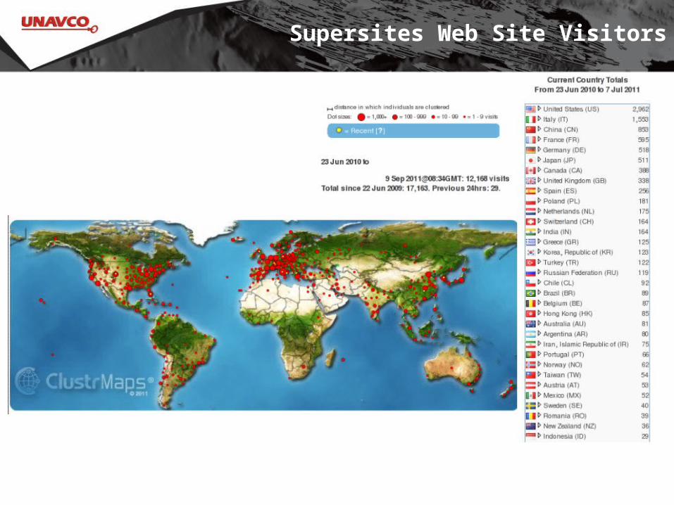
Supersites Web Site Visitors