understanding legal descriptions and the public land survey system for the gis environment
DESCRIPTION
Understanding Legal Descriptions and the Public Land Survey System for the GIS Environment IGIC – March 7, 2006. Issues in GIS Parcel Conversions Sufficiency of a description Various types of legal descriptions Uncertainties in boundary surveying The US Public Land Survey - PowerPoint PPT PresentationTRANSCRIPT

Understanding Legal Descriptions
and the Public Land Survey System
for the GIS Environment
IGIC – March 7, 2006
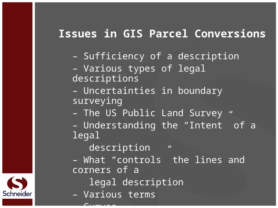
Issues in GIS Parcel Conversions
– Sufficiency of a description– Various types of legal descriptions– Uncertainties in boundary surveying– The US Public Land Survey– Understanding the “Intent” of a legal description– What “controls” the lines and corners of a legal description– Various terms– Curves– Water Boundaries
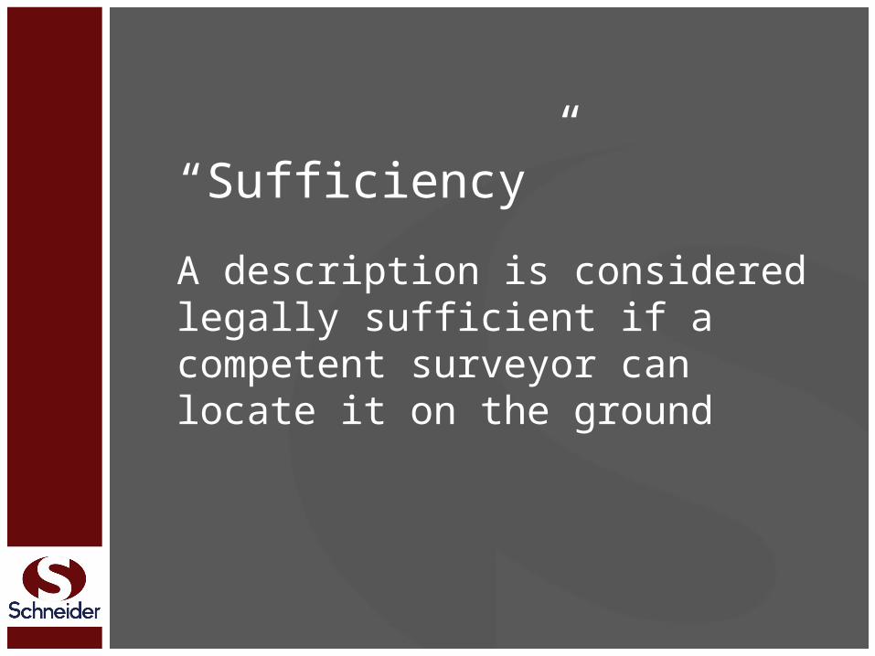
“Sufficiency”A description is considered legally sufficient if a competent surveyor can locate it on the ground
Types of Property Descriptions
Metes and Bounds

Types of Property Descriptions
Bounds

Types of Property Descriptions
Aliquot Part
Types of Property Descriptions
Lot/Block/Subdivision

Types of Property Descriptions
Strip Descriptions

Types of Property Descriptions
Area Descriptions

Types of Property Descriptions
Quasi Metes and Bounds
• Division Line• Proportional Parts• Linear

“Why can’t two Surveyors ever agree??”

There are pre-existing conditions and unavoidable
circumstances that Surveyors must deal with on every
survey…

• Reference Monumentation• Record Documents• Possession/Occupation• Measurements
?Uncertainties occur as a result of

Reference Monumentation
• Uncertain reference monuments• Conflicting reference monuments
• Indeterminate reference monuments

Public Land Surveys
• When were your original surveys?• Tiffin’s Instructions – 1816• Instructions – 1833, 1850, 1855, 1871, 1881, 1890, 1894, 1902, 1930, 1947, 1973• What were your original monuments?• Wood Posts, Stones, mounds, etc.• Closing Corners

Section Corners
• Subdivision of Sections
• Perpetuation of original corners – when and with what monuments?

Section CornersAn Existent Corner is one whose position can be identified by verifying the evidence of the monument, or its accessories, by reference to the description that is contained in the field notes, or where the point can be located by acceptable supplemental survey record, some physical evidence or testimony. Existent corners cannot be disturbed or moved.

Section CornersAn Obliterated Corner is one at whose point there are no remaining traces of the monument, or its accessories, but whose location has been perpetuated, or the point for which may be recovered beyond reasonable doubt, by the acts and testimony of the interested landowners, competent surveyors, or other qualified local authorities, or witnesses, or by some acceptable record evidence.
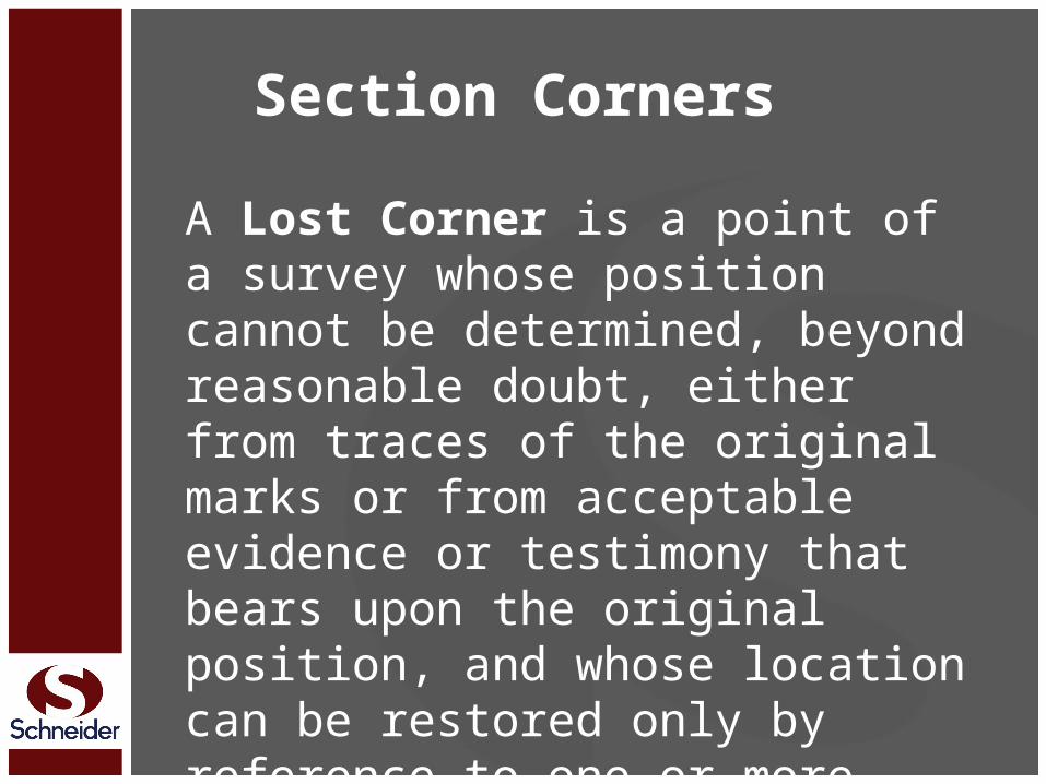
Section Corners
A Lost Corner is a point of a survey whose position cannot be determined, beyond reasonable doubt, either from traces of the original marks or from acceptable evidence or testimony that bears upon the original position, and whose location can be restored only by reference to one or more interdependent corners.
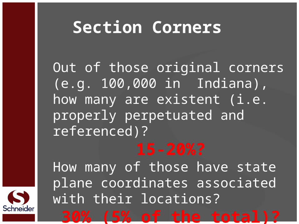
Section Corners
Out of those original corners (e.g. 100,000 in Indiana), how many are existent (i.e. properly perpetuated and referenced)?
15-20%?How many of those have state plane coordinates associated with their locations?
30% (5% of the total)?
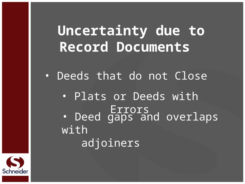
Uncertainty due to Record Documents
• Deeds that do not Close• Plats or Deeds with
Errors• Deed gaps and overlaps with adjoiners
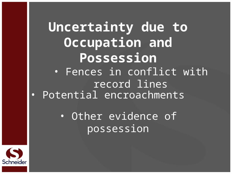
Uncertainty due to Occupation and
Possession• Fences in conflict with record
lines• Potential encroachments• Other evidence of possession
Uncertainty in Survey Measurements
• Distance Measurements• Angle Measurements
• GPS
Uncertainty in Survey Measurements
Is the only uncertainty that the surveyor has any control over
Yet – it cannot be eliminated

4 Types of Uncertainties
The first 3 involve evidentiary issues
How does the Surveyor interpret the evidence and where does
he/she want to place the corners?

4 Types of Uncertainties
The last - uncertainty in measurements - has to do with
how accurately the Surveyor can mark and describe those
locations

Determining what will Control
References, ties, and controlling calls used in a description will typically control over the mathematics if a conflict between calls arises
Determining what will Control
Unwritten Rights
e.g. Adverse Possession, Acquiescence, Estoppel, oral agreement, etc.

Determining what will Control
Unwritten Rights Senior Rights
i.e. you can’t sell what you don’t own
Determining what will Control
Unwritten Rights Senior RightsWritten Intentions of the Parties

The “intent of the parties ” in a conveyance (usually the grantor, often together with a surveyor, sometimes with the grantee) is paramount to all other considerations
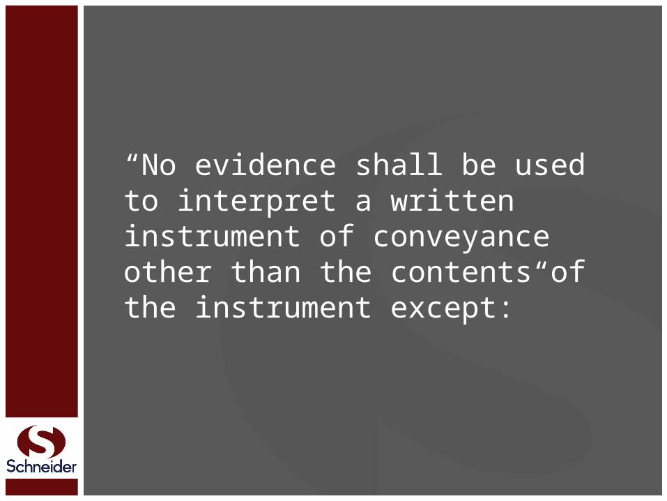
“No evidence shall be used to interpret a written instrument of conveyance other than the contents of the instrument except:”
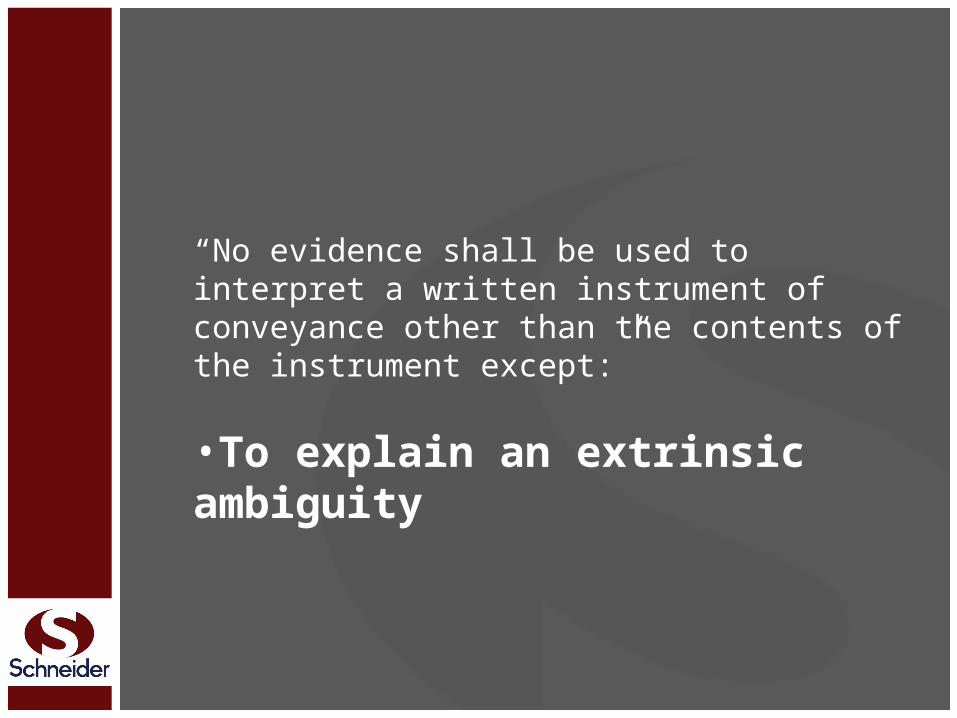
“No evidence shall be used to interpret a written instrument of conveyance other than the contents of the instrument except:”
•To explain an extrinsic ambiguity

An “Extrinsic Ambiguity ” is an ambiguity in the legal description that requires the application of evidence from outside the written document to:
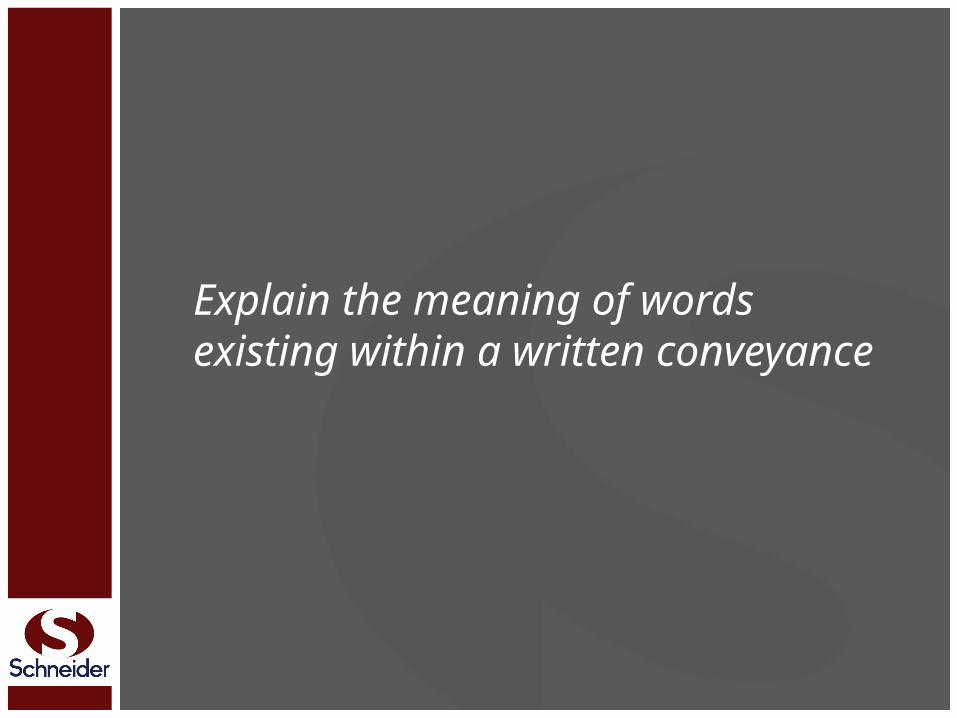
Explain the meaning of words existing within a written conveyance

Explain conditions existing as to the date of the deed

Understanding Intent“Where the description in a deed is not ambiguous, but certain and complete, there is no occasion to resort to extrinsic evidence to ascertain the intent of the parties as to the land intended to be conveyed.”Ault v. Clark (1916) 112 N.E. 843
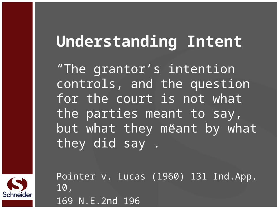
Understanding Intent“The grantor’s intention controls, and the question for the court is not what the parties meant to say, but what they meant by what they did say .”
Pointer v. Lucas (1960) 131 Ind.App. 10, 169 N.E.2nd 196

Determining what will Control
Unwritten Rights Senior RightsWritten Intentions of the PartiesCall for a Survey

A call for a survey is a call for the monuments set on that survey

Determining what will Control
Unwritten Rights Senior RightsWritten Intentions of the PartiesCall for a SurveyCall for a Monument

Determining what will Control
Unwritten Rights Senior RightsWritten Intentions of the PartiesCall for a SurveyCall for a MonumentNatural, Artificial, Record

Determining what will Control
Unwritten Rights Senior RightsWritten Intentions of the PartiesCall for a SurveyCall for a MonumentNatural, Artificial, RecordDistance and/or Direction
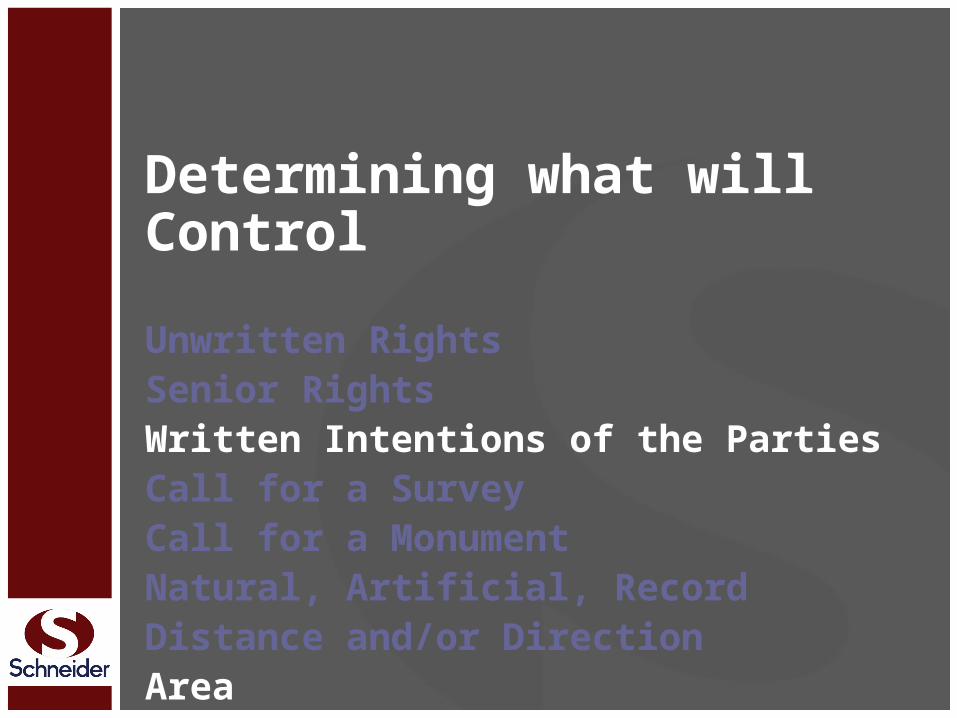
Determining what will ControlUnwritten Rights Senior RightsWritten Intentions of the PartiesCall for a SurveyCall for a MonumentNatural, Artificial, RecordDistance and/or DirectionArea

Calls for area will control only when that area represents the clear intentions of the parties or when there is no better evidence

Determining what will ControlUnwritten Rights Senior RightsWritten Intentions of the PartiesCall for a SurveyCall for a MonumentNatural, Artificial, RecordDistance and/or DirectionAreaCoordinates

Coordinates have historically been last because they are a function of directions and distances
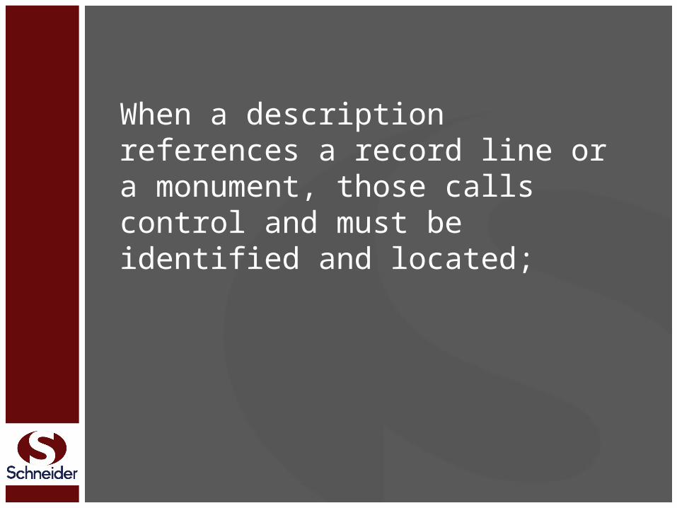
When a description references a record line or a monument, those calls control and must be identified and located;

When a description references a record line or a monument, those calls control and must be identified and located; the rest of the property must then be fit to them

When a description references a record line or a monument, those calls control and must be identified and located; the rest of the property must then be fit to themThe mathematics (i.e. bearings and distances) will often NOT control intent

The caption limits title
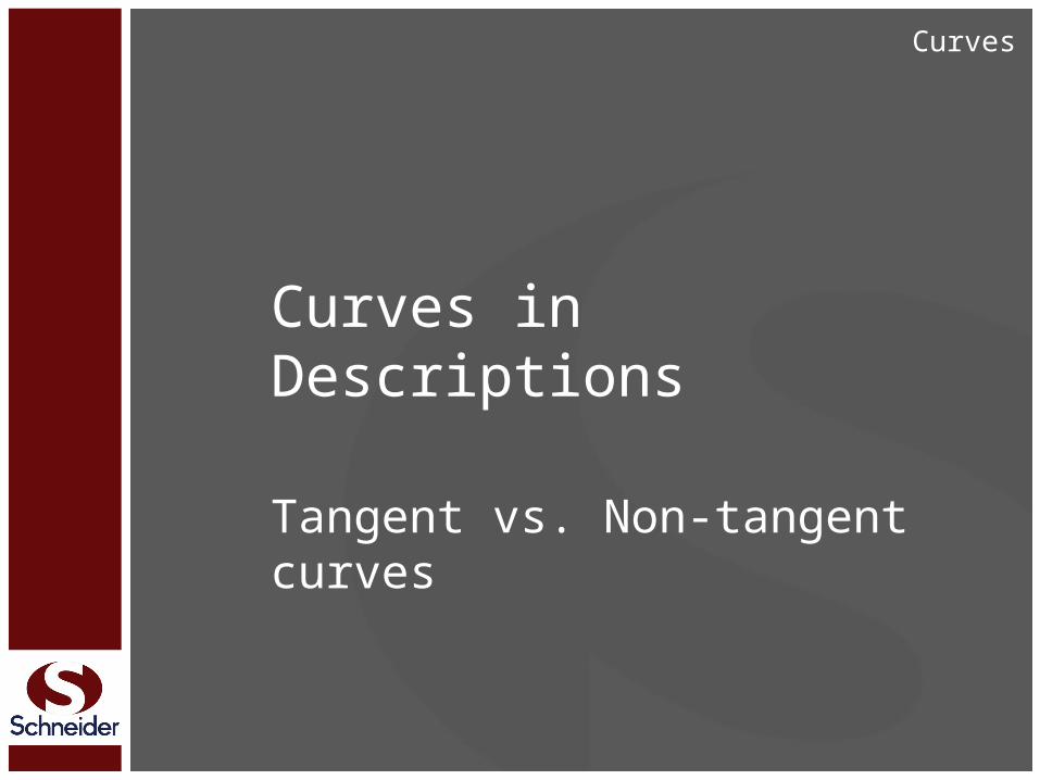
Curves in Descriptions
Tangent vs. Non-tangent curves
Curves
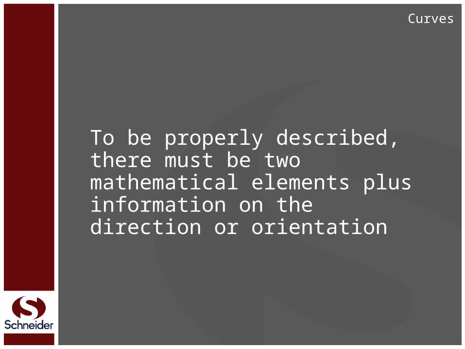
To be properly described, there must be two mathematical elements plus information on the direction or orientation
Curves
Meander Lines
… used to define some function (thread, centerline, high or low water line, bank, edge of water, etc.) of a riparian feature (river, creek, lake, tidelands, etc.)
Water Boundaries
A riparian meander line is not the boundary line, but rather an approximation of an otherwise irregular boundary, used for purposes of:
Water Boundaries

A riparian meander line is not the boundary line, but rather an approximation of an otherwise irregular boundary, used for purposes of:(1) Defining the approximate location of an irregular boundary, and
Water Boundaries
A riparian meander line is not the boundary line, but rather an approximation of an otherwise irregular boundary, used for purposes of:(1) Defining the approximate location of an irregular boundary, and (2) Determining the resulting approximate area of land being described
Water Boundaries

The Schneider Corporation
The Schneider CorporationHistoric Fort Harrison8901 Otis AvenueIndianapolis, IN 46216Phone - 317.826.7100Fax - [email protected]
Gary R. KentDirector, Integrated Servicesphone 317/826-7134fax 317/[email protected]