u.s. department of the interior u.s. geological survey data catalog: infobank...
TRANSCRIPT

U.S. Department of the InteriorU.S. Geological Survey
Data Catalog: InfoBank
walrus.wr.usgs.gov/infobank
Clint Steele, [email protected]

InfoBank
Accomplishments:
• Addition of 88 National Archive of Marine Seismic Surveys (NAMSS) data sets (Western Geco - FACS, nav, seis, .pdf, .segy, etc.)
Issues:
• Addition of more NAMSS (Chevron, Texaco) data sets


FACS Coordinators at all centers…

Digital FACS
Introduction:
• 280 new field activities have been entered into InfoBank over this last year
Accomplishments:
• 11 Digital Data Series from St. Pete
• 50 field activities from Woods Hole
Issues:
• Whenever FACS re-submitted, we’d like to have changes identified.

Analog FACSIntroduction:
items database
6986 31 jencontainers
2248 821 maps
6773 155 media
13797 832 racks
48 14 room
229 59 shelves
276 141 stpete
40 28 woodshole
90272 TOTAL
items database
2676 238 bins.txt
110 28 boxes1020
12056 238 boxes1030
16788 347 boxes1040
5437 207 boxescmg
892 633 cabinets
7084 932 drawers
14832 655 drawers1133
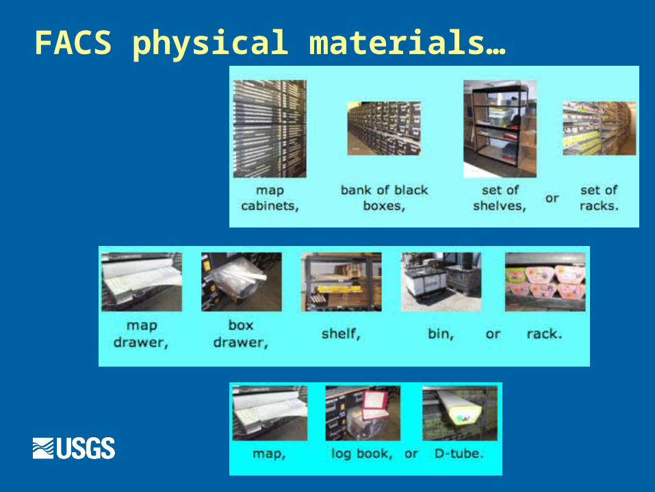
FACS physical materials…

Analog FACS
Accomplishments:
• Incorporated collections (paper, maps, microfilm, digital media) of retirees (Carlson, Stevenson, Gutmacher, Bruns, Reimnitz)
• Moved MarFac cores to new O’Brien St. refrigerator
• Moved paleo collection (McGann labs)


Analog FACS
Accomplishments:
• Added NAMSS black box materials in 1050 O’Brien
• Converted database system from solely DAPS managed to user/DAPS managed
• Dispersed duplicate copies of paper maps (NOAA charts, etc.)
• Reorganization of master map sets in 1050 O’Brien


Analog FACS
Issues:
• Unfunded DAPS contractor support (Alex)
• Menlo Park core curator (Cathy) position expiring with no replacement planned
• Some of retiree collections still pending
• Without care, current robust system will deteriorate
• Care, maintenance, disposition of retirees’ reprint collection

Analog FACS
Issues:
• Possible absorption of MMS Carpenteria collection
• Addition of Woods Hole core holding database (Brian)
• Responsibilities, capabilities, and conflicting information sent to NGDC
• Possible shipment of AK materials (CMG + non-CMG) to Alaska Geologic Materials Center


Google Maps
Introduction:
• Google recently added understanding of .kml/.kmz
Accomplishments:
• Created matching links for each InfoBank Google Earth link

Google Maps
Issues:
• Some .kml’s are too complex or too big for Google Maps.
• These are recognized and reported by Google Maps.
• How can we anticipate issues yet keep up with the hope that future Google Map releases will be more robust?

Google Earth
Introduction:
Following last year’s Knowledge Management meeting, we investigated Google Earth and began implementing InfoBank access
Google Earth
Accomplishments:
• AGU poster session
• Learn more InfoBank page
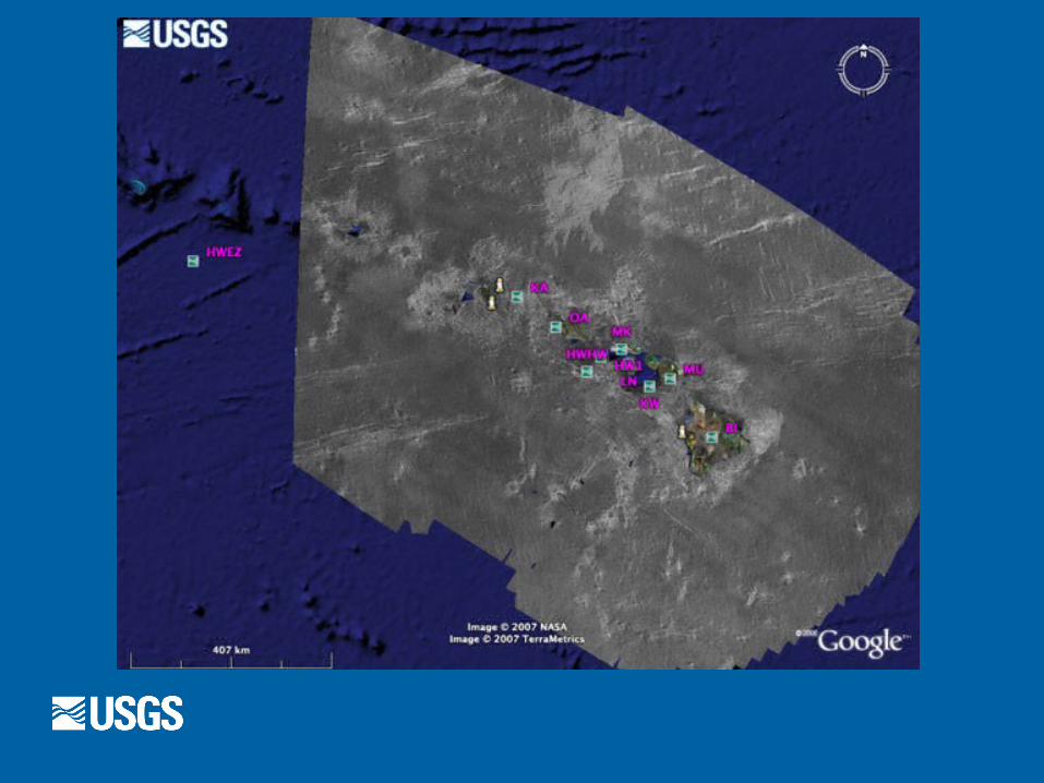
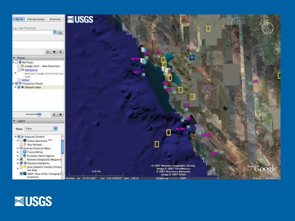
• Atlas suite: USGS icon, lighting/color table bathy
• Facilities
• ID based – nav, times, samps, seis, photos
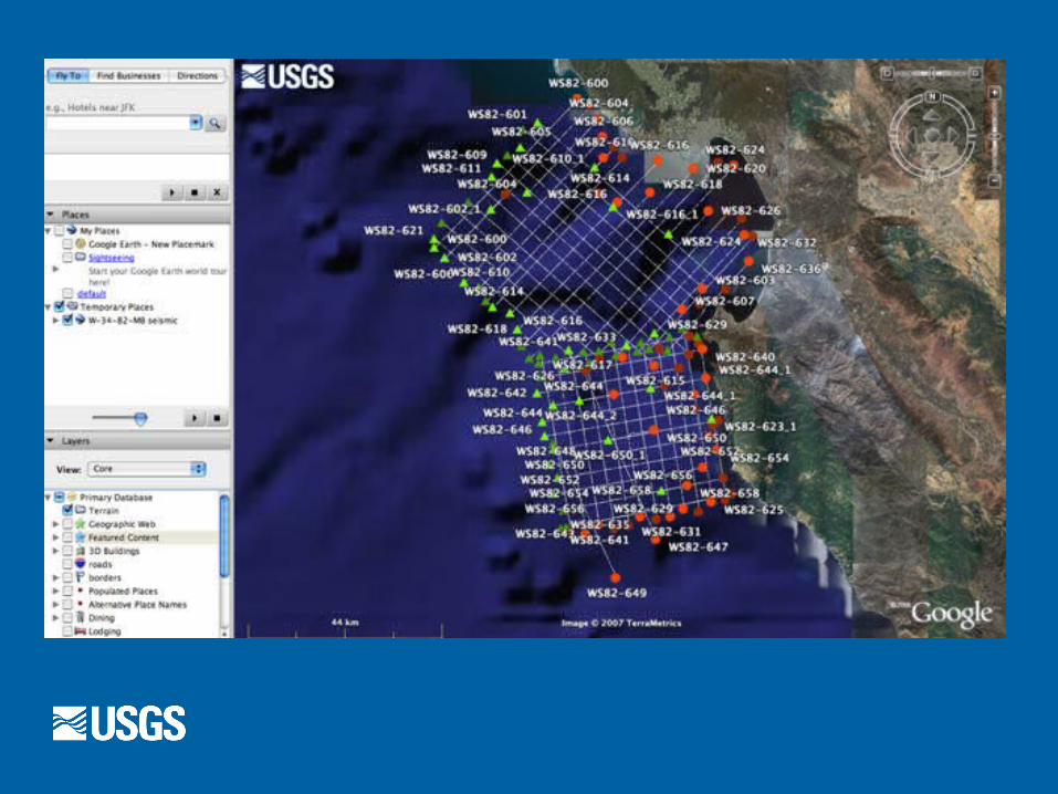
• Collection based nav – platform, participant, organization, project
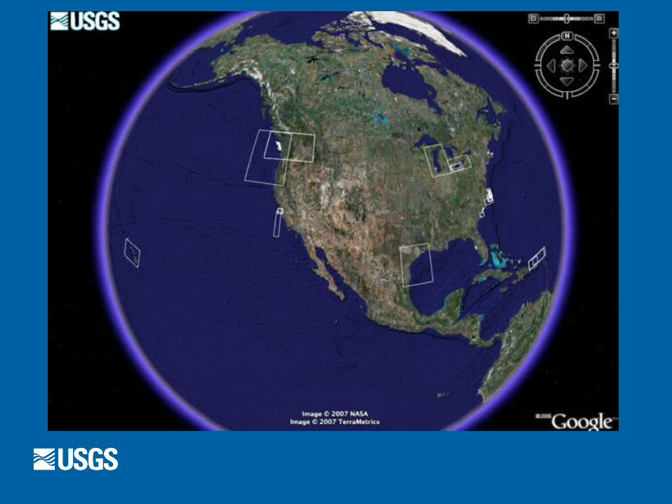
• Maps and products in Google Earth (eg. Crater Lake, Lake Tahoe, HW1)
• Mysteries and data sleuthing


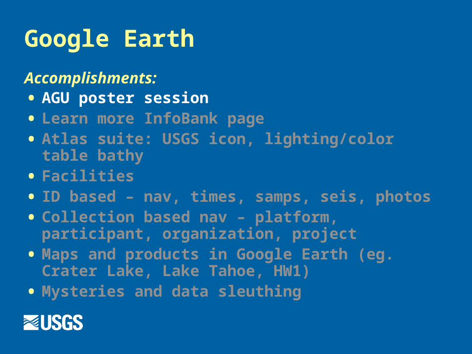
Google Earth
Accomplishments:
• AGU poster session
• Learn more InfoBank page
• Atlas suite: USGS icon, lighting/color table bathy
• Facilities
• ID based – nav, times, samps, seis, photos
• Collection based nav – platform, participant, organization, project
• Maps and products in Google Earth (eg. Crater Lake, Lake Tahoe, HW1)
• Mysteries and data sleuthing
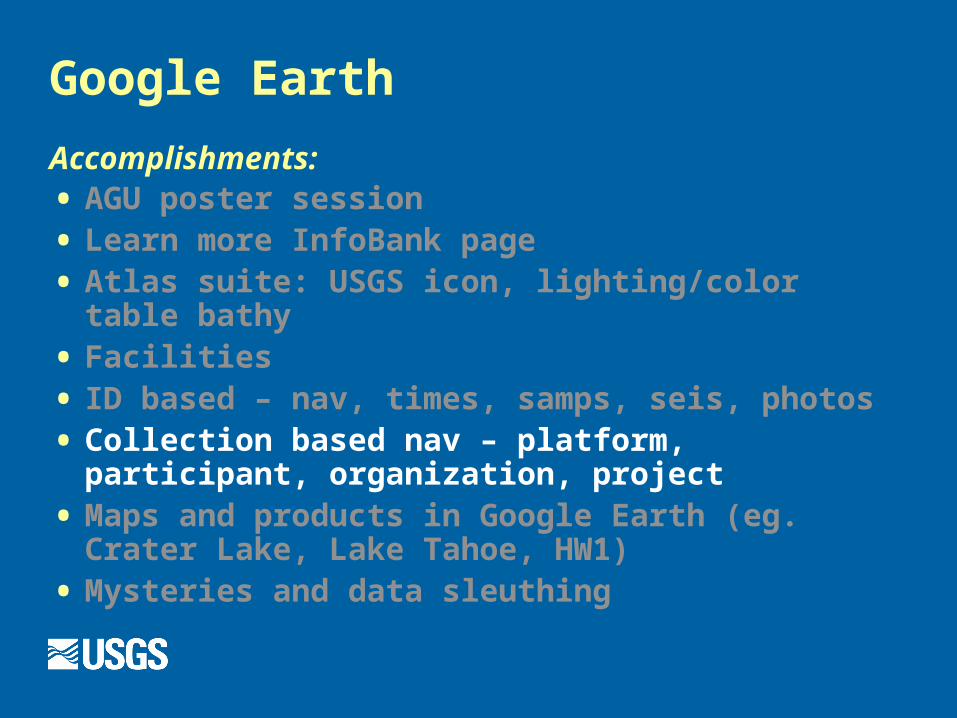

Google Earth
Issues:
• Want to add seamless bathy highlight upon zooming
• Want to add many more maps and products, but need them identified, and how to register
• What other features are desired for existing ID-based and collection-based products?
• What new products are desired?

Google Earth
Topic:
• The Interagency Working Group on Ocean and Coastal Mapping (IWG-OCM) Project and Geospatial One-Stop (GOS) Portal.
• Is Google Earth and something like the InfoBank suite a possible user access tool?

Data Catalog: InfoBank
• walrus.wr.usgs.gov/infobank/
• Questions, discussion?