what is google earth?? google earth is a virtual globe, map and geographical information program ...
TRANSCRIPT

BETHANY DELONG

What is Google Earth?? Google Earth is a virtual globe, map
and geographical information program Created by Keyhole, Inc, a Central
Intelligence Agency It maps the Earth by the
superimposition of images obtained from satellite imagery, aerial photography and GIS 3D globe
Released in June 2001, over 12 years agoUpdates since: Ocean floor imagery,
mars, 3D images, Google Sky, street view

Example of Aerial photograpy/ 3D image (Arrowhead and KC Royals stadium)

What is Google Earth?? Google Earth is FREE
There are some limitations with the free version compared to the pro
Google Earth PRO costs $399/year for a single licenseIncludes data and
measurements Create videos that can be
shared with customers
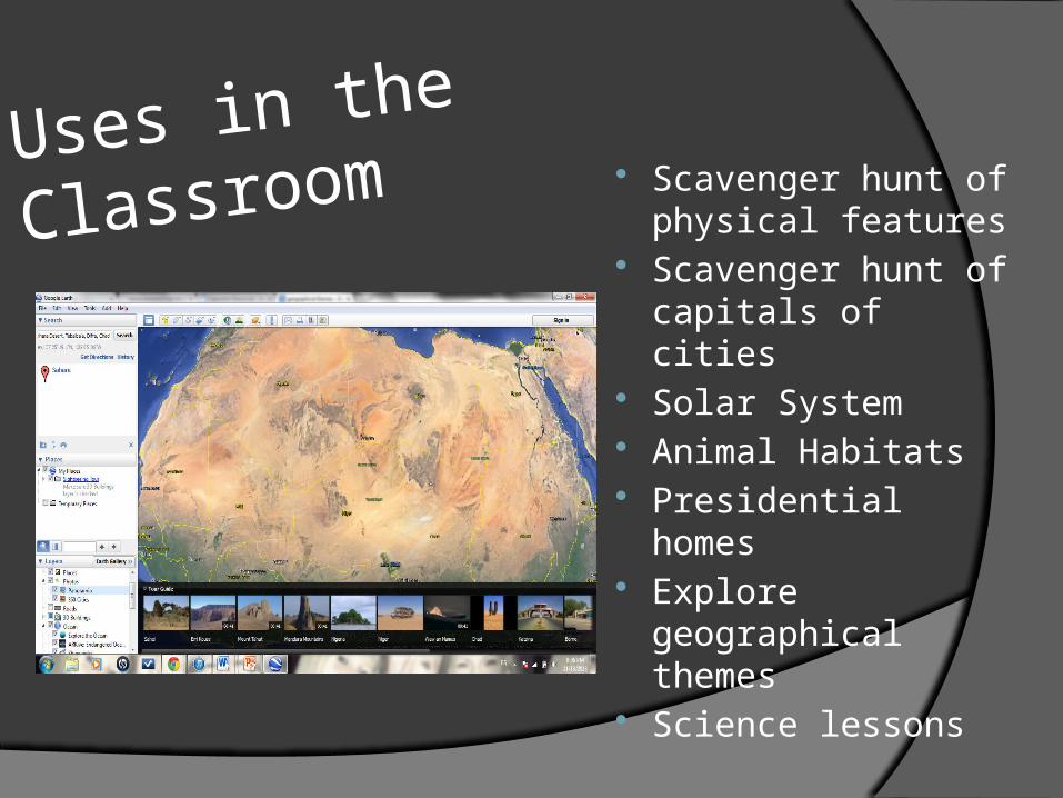
Uses in the
Classroom Scavenger hunt of physical features
Scavenger hunt of capitals of cities
Solar System Animal Habitats Presidential homes Explore
geographical themes
Science lessons

How Google Earth Benefits Students
They get to know the world they live in, in a little more advanced way than just pictures
Makes learning fun Builds their knowledge on how maps work It gets the student’s to think and use prior
knowledge and other resources

How Google Earth Benefits Teachers
Can be used for various lessons (geography, history, astronomy)
An ab-stract way of teaching Teachers involve students in pro-active
engagement