what’s up? i hope you’re ready for some excitement because i’m going to be showing you around...
TRANSCRIPT


What’s up? I hope you’re ready for some excitement because I’m going to be showing you
around the West today. I need a break from the waves
anyway. Ready? Grab your ticket, we’re going to ride on a
train for most of our trip!
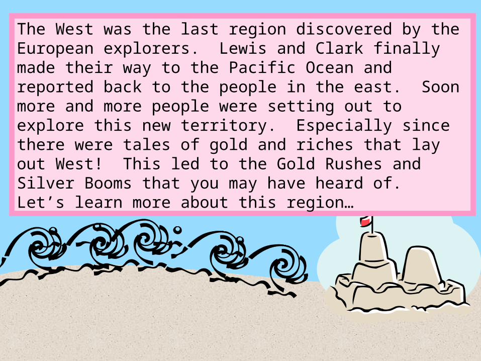
The West was the last region discovered by the European explorers. Lewis and Clark finally made their way to the Pacific Ocean and reported back to the people in the east. Soon more and more people were setting out to explore this new territory. Especially since there were tales of gold and riches that lay out West! This led to the Gold Rushes and Silver Booms that you may have heard of. Let’s learn more about this region…

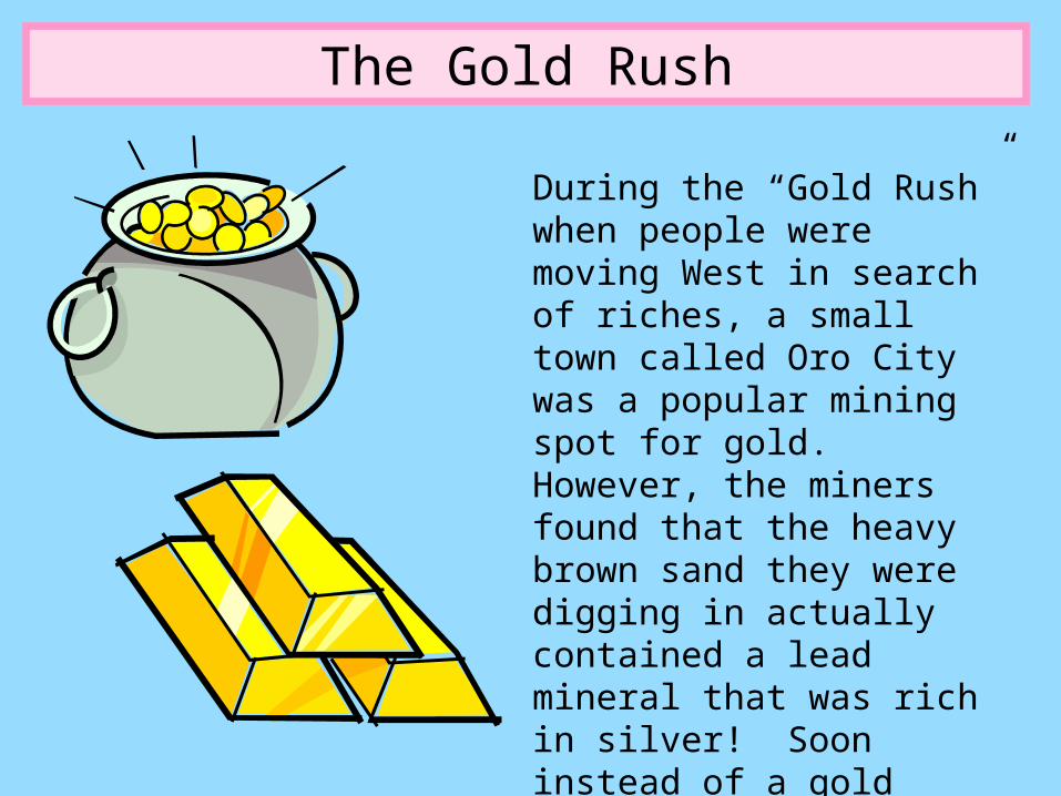
The Gold Rush
During the “Gold Rush” when people were moving West in search of riches, a small town called Oro City was a popular mining spot for gold. However, the miners found that the heavy brown sand they were digging in actually contained a lead mineral that was rich in silver! Soon instead of a gold rush, there was a SILVER BOOM!

Leadville, Colorado
More and more people moved to the area in search of silver. A new town called Leadville formed near two of the mining spots. This was the beginning of the “Colorado Silver Boom”. Leadville became one of the world’s largest silver camps.
This is a picture of “Matchless Mine” in Leadville, Colorado.

Wow! I wish I could find a gold or silver mine today! Let’s keep
moving…I want to show you one of my favorite
outdoor spots.


Yellowstone National Park
Yellowstone National Park was established in 1872 as the world’s first National Park by the United States Congress.
The name of the park comes from the Minnataree Native Americans who called the river that flowed through it “Mi tsi a da zi”, which means Rock Yellow River. They called it this because the banks of the river were covered with rocks that were yellowish in color. Later the name became Yellow Rock and eventually Yellow Stone. The Yellowstone River

Yellowstone National Park
Yellowstone National Park sits in the Northwest corner of Wyoming close to the Montana border.
Yellowstone Facts•The park covers 3,472 miles – that’s bigger than the states of Rhode Island and Delaware combined!!
•There is an active volcano in the park.
•There are about 2,000 earthquakes there every year!
•The park has more than 300 geysers.

Yellowstone National Park
A geyser is a type of hot spring that erupts sending a column of hot water and steam into the air.
Old Faithful is one of the most well-known geysers. The name Old Faithful was chosen because the geyser is predictable. It erupts about every 91 minutes. Each eruption lasts from 1 ½ to 5 minutes.
Click on the picture of Old Faithful to view the webcam and watch for its next eruption!

Whoa! Those geysers are really cool! Let’s see what other cool
things we can discover about the West.


Lolo Pass, Montana
Lolo Pass is a high mountain pass in the northern Rocky Mountains. It is located on the border between Montana and Idaho.
The Rocky Mountains stretch from Canada to New Mexico. Sometimes called the “Rockies”, these mountains are often covered with snow in the winter from harsh blizzards.

Why is Lolo Pass important?
You remember that Lewis and Clark were sent on an expedition to find a water route from the Atlantic Ocean to the Pacific Ocean, right?
Well, when they came to Lolo Pass their journey became incredibly hard. The land was very rocky and covered with snow. There were no animals to hunt, so Lewis and Clark had to resort to eating some of their own horses and supplies such as candles!
Learn more about Lewis and Clark and their journey through Montana by clicking on the picture.

Lewis and Clark sure were some brave
dudes! So far I’ve only taken you to the colder states in the West, but we have warm states,
too. Follow me.


Welcome to California!
When you think of California, you probably think of sunny weather, beaches, and maybe even movie stars or Disneyland! But there is much more to learn about California…
Central Valley
Central Valley is a long strip in the center of California. It
stretches for about 400 miles. That is twice as long
as the state of South Carolina!!
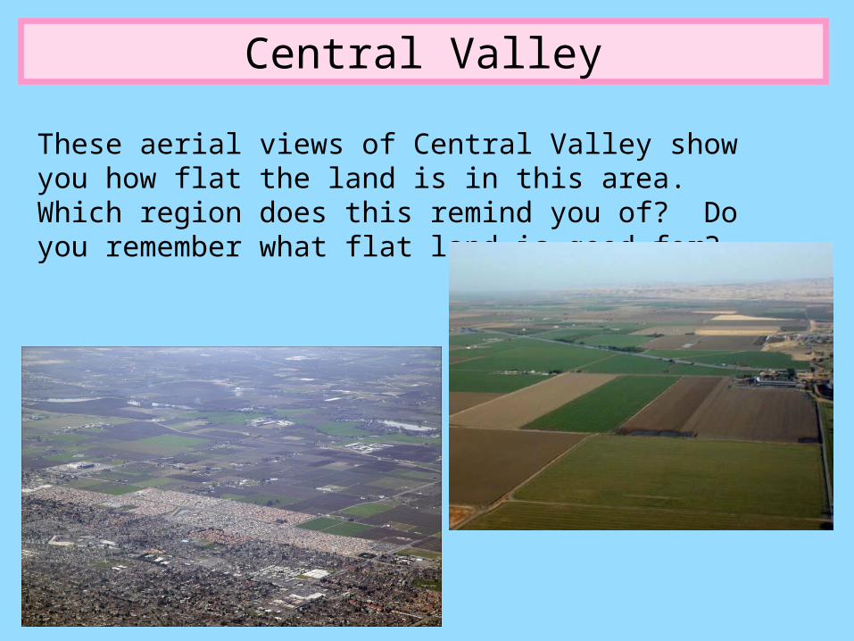
Central Valley
These aerial views of Central Valley show you how flat the land is in this area. Which region does this remind you of? Do you remember what flat land is good for?

Farming!!
Central Valley supplies a lot of the food for the United States of America and the rest of the world! It is often called the “fruit basket of the world”. Crops grown in this area include…
Click on the box of raisins to watch a 1 minute video of how they turn
grapes into raisins!

I wish we had time for me to catch some waves while in California. But, we have to keep moving. We have
another wonder of the world to see and even
warmer weather is on its way!


The deserts of Arizona
Monument Valley is a desert located on a Navajo Indian reservation on the Utah and Arizona border. It is made of red mesas surrounded by sandy deserts.

Phoenix, Arizona
The capital city of Arizona is Phoenix. It is in one of North America’s largest and hottest deserts, the Sonaran Desert. Large cactuses called saguaros grow here. They can be 15-20 feet high!

Phoenix, Arizona
A desert is an area that receives very little ran and as a result is very dry! Not all deserts have to be hot, but the deserts in Arizona are hot.
In fact, Phoenix is VERY HOT. It reaches 100°F on about 89 days out of the
year!

The Hoover Dam
The Hoover Dam is located on the Colorado River on the border of Arizona and Nevada. It was built in 1931 to prevent the Colorado River from flooding.

The Hoover Dam
It took 5,000 workers to build the dam. It was finished in 5 years, but 96 workers died during its construction.
The Hoover Dam was named after President
Herbert Hoover.

The Grand Canyon
The Grand Canyon is one of the Seven Wonders of the World. It is a gorge (or valley) between steep cliffs of rock. The Grand Canyon is 1 mile deep and 277 miles long!
Have you ever heard of the tall tale hero Paul Bunyan?
Well, some say that the Grand Canyon was formed when he dropped his axe!
Click on the picture of Paul Bunyan to read
his story.

The Grand Canyon
The Colorado River runs through the Grand Canyon. Many tourists like to visit the canyon to hike or go rafting on the river.
Click on the picture to see more photos of the Grand Canyon!

Well, we’ve seen a lot of the West region. We saw
mountains, valleys, plains, and deserts! We’ve been to cold places and HOT places. Can you guess where we’re going next. I’ll give you a hint. We must get off of our train and onto a plane to get there!
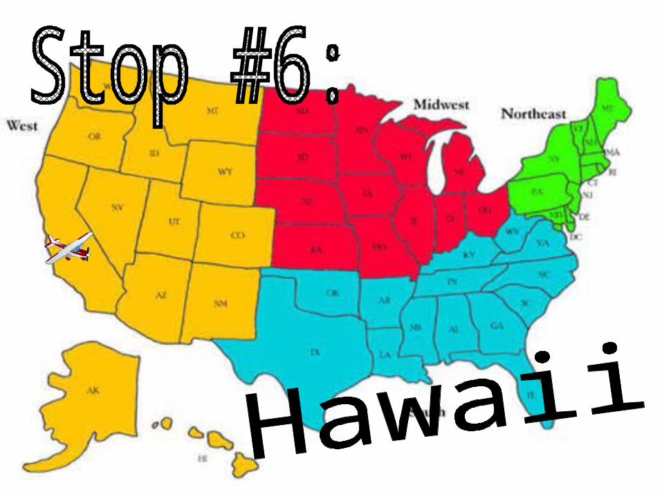

Aloha!
The state of Hawaii is made up of 8 main islands.
Honolulu is the capital city of Hawaii. It is
located on the southern border of the
island of Oahu.

Hawaiian Fun Facts
•Mount Waialeale on Kauai is the wettest place on earth! It receives 460 inches of rain each year!
•Mauna Loa is the largest volcano on Earth. It takes of half of the area on the island of Hawaii.
•75% of Hawaii’s people live on Oahu.
•Hawaii is a favorite vacation spot for many people because of the warm weather and beautiful beaches!
•Hula dancing and surfing are very popular in Hawaii.

Surfing? Did someone say surfing? Look, I’ve had a ton of fun showing you around the West, but
Hawaii has some monster waves so I’ve got to get
going now. See you later!

United Streaming VideosThese videos are listed for grades 3-8, but video segments may be
appropriate to show to 2nd graders to illustrate key concepts of region.
The West Region: People and Heritage
U.S. Geography: The West
West Region: The Environment
Boom or Bust: Mining and Opening of the American West

Tall Tales of the WestA good resource for regional tall tale stories is http://www.americanfolklore.net/tt.html
The author, Steven Kellogg, has also created books of several tall tales that have amazing illustrations.
Due to time constraints on this unit, only the tall tale of Paul Bunyan was included in this presentation. However there are many other tall tales that could be shared from this region. An integrated reading unit on tall tales is recommended to help students fully understand this genre and the importance of these stories to American history.
Other tall tales from the West:
Kana (Hawaii)Sedna of the Sea (Alaska)
At the time of creation, all links in this PowerPoint were accurate and active. However, over time websites change and links may become broken. If you find broken or inactive links in this PowerPoint, please email [email protected] and I will try to fix them and resubmit this resource. Thanks for your help!
All links were also previewed before being selected to ensure their appropriateness for 2nd graders. However, since websites are constantly changing it is always best to preview all links before showing to students. If you find a link that is no longer appropriate please email [email protected] and I will remove the link.