14 map 1 of 4 138 · devils punchbowl park vasquez rocks park domenic massari park everett martin...
TRANSCRIPT

Rosamond
EDWARDS AIR FORCE STATION
CALIFORNIASTATE PRISON
LANCASTERCITY PARK
SKYTOWERPARK
TIERRABONITA PARK
RAWLEY DUNTLEYPARK
EL DORADOPARK
JOSHUAHILLS PARK
JACKIE ROBINSONPARK
MARIPOSAPARK
DEVILS PUNCHBOWL PARK
VASQUEZROCKS PARK
DOMENICMASSARI PARK
EVERETTMARTIN PARK
JANE REYNOLDSPARK
DOMENICMASSARI PARK
PEARBLOSSOMPARK
Angeles National Forest
Air ForcePlant 42
SaddlebackButte State Park
Angeles National Forest San Bernardino National Forest
Palmdale
L o s A n g e l e s C o u n t yKe r n C o u n t y
Lancaster
QuartzHill
LakeLos Angeles
Littlerock
PalmdaleEastDesert View
Highland
Acton
Los Angeles
Wrightwood
110t
h S
t
W Avenue J
Leona Divide
Fire Road
Johnson Rd
Avenue A
Angeles Crest Hwy
B P and L Rd
Bpl Rd
Blue Ridge
Truck Trail
Elizabeth Lake Rd
105th St
120th St
Santa Clara
Divide R
d
South Fork LittleRock Creek
Little Rock Truck Trail
Middle ForkAlder Creek
Boiling Point Rd
Bouquet Cyn Rd
CaliforniaAqueduct
W Avenue I
Bent Spur Dr
Indian Oak R
d
Country W
ay
W AveY-8
Angeles Forest H
wy
Oriole Rd
Tiger Mt R
d
Maple C
anyon Creek
SantiagoRd
AlisoCyn Rd
Crow
nV
alley Rd
Platz Rd
Little RockWash
Ritter Mtwy
Ward R
d
Sierra Pellona Mtwy
Cedarcroft R
d
Quicksilver Ln
Red RoverMine Rd
Mariastella D
r
Acorn D
r
CheseboroRd
GENERAL WM J FOX AIRFIELD
36th District
37th District
38th
District
34th District
E AVENUE J
SIE
RR
A H
WY
60T
H S
T W
E AVENUE K
90T
H S
T W
PALMDALE BLVD
50TH
ST
E
170TH
ST
E
90TH
ST
E
120TH
ST
E
E AVENUE G
W AVE N
E AVENUE I
W AVENUE L
E AVENUE H
10TH
ST
W
PALMDALE PRODNFLT/TEST INSTLN
AF PLANT 42
59th District
240TH
ST
E
SOLEDAD CYN RD
W AVENUE F
BIG PINES HWY
E AVENUE O
204TH
ST
E
106TH
ST
E
VALYERMO RD
165TH
ST
E
MIRAGE RD
131ST
ST
E
AVENUE D
195TH
ST
E
E AVE W
90TH
ST
E
LITTLE TUJUNGA
RD
ANGELES
FORE
ST
HW
Y
JUN
IPE
RHI LLS RD
PEARBLO
SSOM HWY
2
138
14
18
138
39
Assembly District 36West Part
Map 1 of 4
0 2 3 4 5
Miles
Inyo
KernSan Bernardino
Fresno
Riverside
Tulare
SanDiego
Los Angeles
Madera
Kings
Ventura
SantaBarbara
SanLuis Obispo
Merced
Orange
SanBenito
34
30
3233
29
37
25
3635
31
66
59
17
28
41
73
38
76
Imperial
80
77
65
6471
7574
63
70
60
79
62
78
67
26
MappedArea
Legend
Assembly Boundary
State Boundary
County Boundary
City Boundary
Major Highway
Other Highway
Railroad
Outside District
Major Landmarks
BARSTOWCOLLEGE
KENNEDY H.S.
BARSTOWCOMMUNITY HOSPBARSTOWCOMMUNITY HOSP
EDWARDS
AIR FORCE STATION
Barstow
Lenwood
NeboCenter
Adelanto Victorville
AppleValley
Power
Line
Irwin
Rd
Salinas Rd
Old Hwy 58
Stodd
ard
Well
s Rd
Santa Fe Ave
Outlet Center Rd
Bishop Rd
Coon C
yn Rd
Mountain V
iew R
d
Sorrel Trl
Sylvan A
ve
20 Mule Team Rd
Gazana St
Townsend St
MeadowGrove Rd
LenwoodR
d
Mountain General Rd
Valley W
ells Rd
Brook Cyn Rd
Waterman Rd
Stoddard Wells Rd
Power
Lin
e
Irwin R
d
36th District
34th District
HE
LEN
DA
LE R
D
HIN
KLE
Y R
D
59th DistrictAD
ELA
NTO
RD
NATIONL TRAILS HWY
58
247
15
40
395
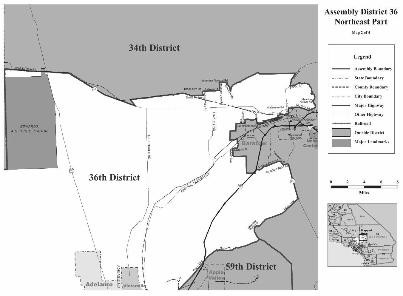
Assembly District 36Northeast Part
Map 2 of 4
0 2 4 6 8
MilesMiles
Inyo
KernSan Bernardino
Fresno
Riverside
Tulare
SanDiego
LosAngeles
Madera
Kings
Ventura
SantaBarbara
SanLuis Obispo
Merced
Orange
SanBenito
34
30
3233
29
37
25
3635
31
66
59
17
28
41
73
38
76
Imperial
80
77
65
6471
7574
63
70
60
79
62
78
67
26
MappedArea
Legend
Assembly Boundary
State Boundary
County Boundary
City Boundary
Major Highway
Other Highway
Railroad
Outside District
Major Landmarks
HESPERIA CC
LAKE ARROWHEAD CC
SILVERWOOD LAKESTATE REC AREA
HESPERIALAKE PARK
LIVEOAK PARK
George AirForce Base
S a n B e r n a r d i n o N a t i o n a l F o r e s t
San Bernardino Nat ional Forest
MOJAVE RIVERFORKS REG PARK
Hesperia
Apple Valley
Adelanto
Victorville
Crestline
Wrightwood
San Bernardino LakeArrowhead
RunningSprings
Mountain ViewAcres
Power
Line
Sorrel Trl
Bear Valley Rd
Topaz Ave
Lytle
Creek R
d
AvenalSt
Coyote Trl
Phelan Rd
Stoddard Wells Rd
D St
Forestry Rd
Turquoise Rd
Escondido A
veBig Tree Truck Rd
East BranchCalif Aqueduct
Whitehaven St
Cataba R
d
Grandview
Rd 59th District
36th District
65th District
34thDistrict
63rd District
MAIN ST
MIRAGE RD
7TH
AV
E
SH
EE
P C
RE
EK
RD
NA
VA
JO R
D
KIO
WA
RD
CE
NT
RA
L RD
NAT
ION
AL
TR
AIL
S H
WY
SUMMIT VALLEY RD
BA
LDY
ME
SA
RD
PE
AC
H AV
E
JOS
HU
A R
D
HE
LEN
DA
LE R
D
WAALEW RD
YUCCA LOMA RD
CORWIN RD
CRIPPEN AVE
THUNDERBIRD RD
MILPA
S D
R
MOJAVE DR
DE
EP
CR
EE
K R
D
KO
ALA
RD
SA
NTA
FE
AV
E DESERT VIEW RD
AZ
TE
C R
D
TR
AD
EP
OS
T R
D
15
15
395
395
66
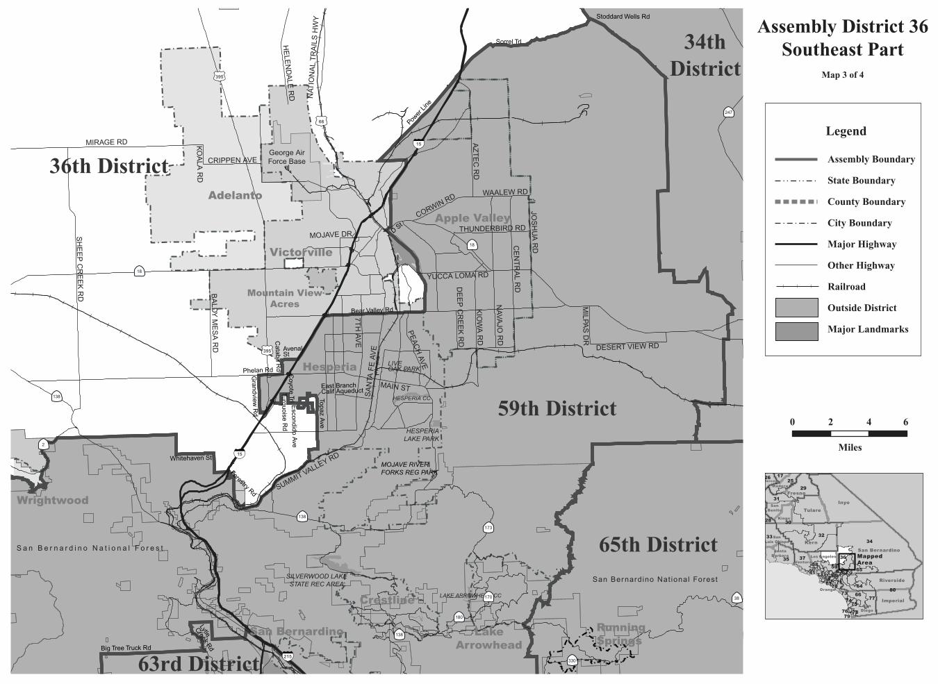
Assembly District 36Southeast Part
Map 3 of 4
0 2 4 6
Miles
Inyo
KernSan Bernardino
Fresno
Riverside
Tulare
SanDiego
Los Angeles
Madera
Kings
Ventura
SantaBarbara
SanLuis Obispo
Merced
Orange
SanBenito
34
30
3233
29
37
25
3635
31
66
59
17
28
41
73
38
76
Imperial
80
77
65
6471
7574
63
70
60
79
62
78
67
26
MappedArea
Legend
Assembly Boundary
State Boundary
County Boundary
City Boundary
Major Highway
Other Highway
Railroad
Outside District
Major Landmarks
138
180
170
330
38
18
18
138
138
173
215
2
247

San Bernardino
Nat ional Forest
36th District
59th District
MAIN ST
7TH
AV
E
MAR
IPO
SA R
D
MA
PLE
AV
E
PHELAN RD
SUMMIT VALLEY RD
US
HW
Y 395
CO
TTO
NW
OO
D A
VE
LIME ST
MAUNA LOA ST
BA
LSA
M A
VE
BA
LDY
ME
SA
RD
0 1
Hesperia
Hesperia
Victorville15
15
395
Topaz Ave
Avenal St
Palm St
Coyote Trl
Phelan Rd
Bandicoot Trl
Fore
stry
Rd
Mesquite St
Turquoise Rd
Escondido A
ve
Joshua St
Jagatai St
East B
ranch California A
que
Whitehaven St
Cataba R
d
Gra
ndvi
ew R
d
U.S
.Hig
hway
395
Mar
ipos
a R
d
Assembly District 36Victorville Detail
Map 4 of 4
Inyo
KernSan Bernardino
Fresno
Riverside
Tulare
SanDiego
Los Angeles
Madera
Kings
Ventura
SantaBarbara
SanLuis Obispo
Merced
Orange
SanBenito
34
30
3233
29
37
25
3635
31
66
59
17
28
41
73
38
76
Imperial
80
77
65
6471
7574
63
70
60
79
62
78
67
26
MappedArea
Legend
Assembly Boundary
State Boundary
County Boundary
City Boundary
Major Highway
Other Highway
Other Road
Railroad
Outside District
Major Landmarks
Institutions
0 1
Miles

C A L I F O R N I A A S S E M B LY D I S T R I C T S
Assembly Redistricting Plan (SB 802), September 13, 2001
The Honorable Robert M. Hertzberg, SpeakerState CapitolRoom 219Sacramento, CA 95814
The California State Assembly Rules CommitteeThe Honorable Dennis Cardoza, ChairP.O. Box 942849Sacramento, CA 94249-0001
The California State Assembly Committee on Elections, Reapportionment, and Constitutional AmendmentsThe Honorable John Longville, ChairP.O. Box 942849Sacramento, CA 94249-0001
Produced at California State University NorthridgeDr. Jolene Koester, President
Eugene Turner, Project DirectorDepartment of Geography18111 Nordhoff St.Northridge, CA 91330
with
Rubyjane Domingo, Pat Jolley, Meredith Leonard
2001
About the Maps
These maps present specific informationabout the features comprising the borders of theAssembly Districts of California that were cre-ated after the 2000 Census. Each of the 80 dis-tricts are represented by one to ten maps withthe number depending on the size of the districtand the complexity of the features followed bythe boundary. In general, the boundaries followcounty lines, city limit lines, and roads, butoccasionally canals, streams, and small roadsare followed.
The Assembly boundary data were creat-ed in digital form from Census 2000 TIGERfiles for California by Pactech Incorporated ofPasadena, CA. The boundary files were releasedin two forms, as a file of district polygons andas a file of line segments used to create thepolygons. Where these line segments were iden-tified, those identifiers were used to label themap boundaries. In addition, place boundarieswere created from the TIGER files.
Other map information such as roads,railroads, coastlines, and landmarks wereobtained from Geographic Data Technologies.Dynamap 2000 files (v10.1). Government landownership information such as national forestboundaries was obtained from a governmentland ownership layer prepared by the CaliforniaTeale Data Center.
Maps were prepared from the digitalfiles using Arcmap 8.1 software fromEnvironmental Systems Research Incorporated.An Albers equal area projection was used forthe maps with a central meridian of 120 degreeswest longitude and standard parallels of 30 and40 degrees of latitude. Coordinates are based onNAD83.