application of unmanned air vehicles in agricultureand%green%diagonal%track%is%the%...
TRANSCRIPT

Application of Unmanned Air Vehicles in Agriculture
Cell: 404-‐406-‐6601 Email: [email protected] www.guidedsys.com
Dr. J. Eric Corban Founder and CTO
In collaboraBon with

Guided Systems has over 20 years of service to the DoD & Aerospace Industry in the design, development and implementation of advanced Guidance, Navigation & Control Systems. Our Mature, Patented Adaptive Control Methods provide Robust, Full-Envelop Guidance & Flight Control for Missiles, Munitions, Launch Vehicles, Aircraft, Spacecraft, and especially, Rotorcraft. This advanced automation technology is now employed by Guided Systems to deliver a family of fully-automated unmanned helicopter systems for diverse civil and commercial applications that include disaster response, geophysical survey and agriculture.
Automation Technology
Advanced

Over 3,000 Produced by Cloud Cap for Fixed Wing UAVs, Now Available for RotorcraC through Guided Systems
SL Autopilot
Integrated Autopilot Hardware Includes GPS-Aided
Inertial Navigation Solution &
Spread Spectrum Data Radio
(Various Frequency Bands Available)
Graphical User Interface Software Provides for Mission Planning and Execution
When coupled with Laptop and Omni-Directional
Antennae, Provides Complete
Portability
• Point & Click Flight Planning, 3D Views, Waypoint InserBon • MulB-‐Vehicle OperaBons from a Single Operator StaBon • Telemetry and Operator Input Archiving and Replay • Terrain database supporBng DTED and SRTM. • IntegraBon with Web Mapping Servers for ElevaBon and Imagery. • Status bar ALERTS for health monitoring. Audio Alarms. • CustomizaBon by Guided Systems (including Language TranslaBon) • Largely Common with Fixed Wing Version
Briefcase-sized Ground Control Station
PROVEN ADAPTIVE AUTOMATION SOFTWARE FOR ROTORCRAFT BY GUIDED SYSTEMS

Typical Unmanned Helicopter System Guided Systems’ All-Electric Model SiCX-10E Unmanned Helicopter System Outfitted with an Imaging Payload
Flight Time Limited to 30 Minutes

What is an Unmanned Air Vehicle (UAV)
• Military Versions are oYen referred to as Drones
• AutomaBon technology allows removal of the human pilot from the cockpit, hence the nomenclature “unmanned”
• With the pilot removed, the vehicle size can be reduced down to that required to carry the payload of interest
• Much smaller aircraY result, that are much less expensive to procure and operate, leading to great economic opportuniBes

Options for Remote Sensing for Agriculture
• Satellite Imagery
• High-‐AlBtude Manned AircraY
• Unmanned Air Vehicles

Yellow and green diagonal track is the result of excess nitrogen applicaBon
Imaging chlorophyll florescence for vegetaBon stress detecBon. Images taken using a UAV flying at 150m with mulBspectral imager
Turn-‐Key Automated Helicopters IncorporaBng MulBspectral Imagers for Agriculture
In CollaboraBon with
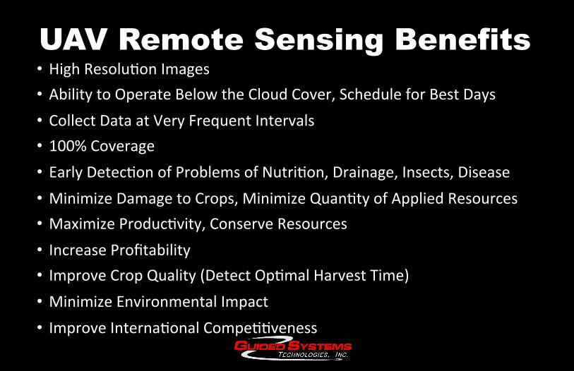
UAV Remote Sensing Benefits • High ResoluBon Images • Ability to Operate Below the Cloud Cover, Schedule for Best Days • Collect Data at Very Frequent Intervals • 100% Coverage • Early DetecBon of Problems of NutriBon, Drainage, Insects, Disease • Minimize Damage to Crops, Minimize QuanBty of Applied Resources • Maximize ProducBvity, Conserve Resources • Increase Profitability • Improve Crop Quality (Detect OpBmal Harvest Time) • Minimize Environmental Impact • Improve InternaBonal CompeBBveness

Mission Planning • The flight alBtude is selected based on consideraBons such as the FAA regulaBons, the desired image resoluBon and the flight Bme available
• The Take-‐off and Landing LocaBons are IdenBfied
• Lines of Travel are laid out (using a paiern similar to mowing the lawn)
• The Speed of Travel is Specified
• The interval at which to snap the pictures is calculated
• Response to an Emergency SituaBon is Specified (e.g. Loss of Radio Link)

Processing the Imagery
• CollecBon of Raw Images • SBtch together a Mosaic of the Images • Georeference the Image • Isolate the Field of Interest • Calculate Indices Such as NDVI • Compare with Previous Data Sets • Analyze to idenBfy problem areas • Prescribe correcBve measures

Guided Systems also produces much larger and more capable unmanned helicopter systems
• Remote sensing for very large farms
• Precision Spray ApplicaBon

SiCX-75
Gasoline-Powered Unmanned Helicopter System
• 75 lbs of Useful Load (fuel and payload)
• Fits in the back of a pickup truck
• Carry an imaging payload for many hours
• Cover a very large area
• Also Precision Spot-‐Spraying of High-‐Value Crops

SiCX-290 SiCX-250 Unmanned Helicopter System
• Removable kit (currently entering test) rapidly converts single-‐seat Mosquito light manned helicopter to fully automated unmanned system.
• Hercules avionics suite and 24V alternator upgrade
• Useful load aYer conversion of as much as 248 lbs (296 lbs for SiCX-‐290)
• OpBonal external fuel tanks to provide for range extension
When you need an affordable useful load capability of several hundred pounds or more, manned to unmanned conversions o8en make the most sense.

UAV AUTOMATION & MISSION CAPABLE SOLUTIONS
+1.770.898.9100 630 Red Oak Road
Stockbridge, Georgia, USA 30281
www.guidedsys.com
For more informaBon contact: J. Eric Corban (cell phone: +1.404.406.6601, email: [email protected])