challenge of nano satellite for remote sensing...
TRANSCRIPT

Challenge of Nano Satellite for Remote Sensing
Application
Akira IwasakiUniversity of Tokyo

Large Satellite Mission
TIR 8.125-11.65µm
whiskbroom 90m SWIR
1.6-2.43µm pushbroom
30m
VNIR 0.52-0.86µm pushbroom
15m
VNIR-stereo 0.78-0.86µm pushbroom
15m
Terra/ASTER(Advanced Spaceborne Thermal Emission and Reflection Radiometer)

A
B
C
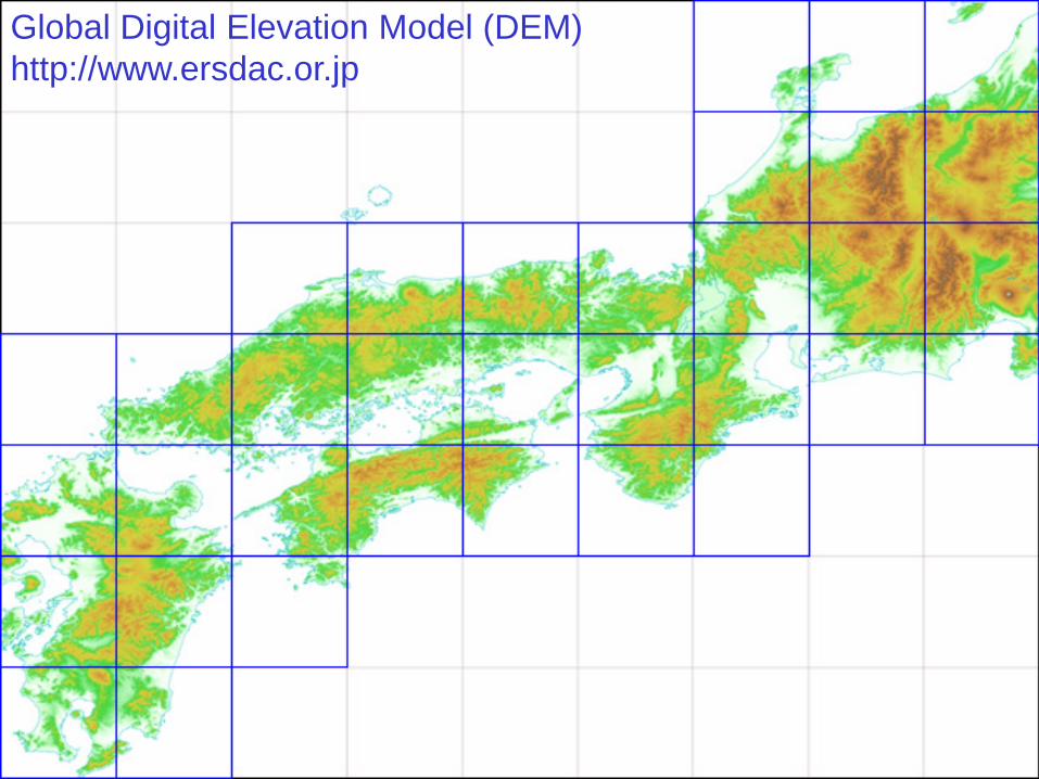
Global Digital Elevation Model (DEM)http://www.ersdac.or.jp

Large Satellite MissionKaguya/LISM
(Lunar Imager Spectrometer)
Haruyama et al., Science 2008

Consistent geometry
ASTER/SWIR•Six bands in parallel•Time interval observation

Y-axisX-axis (flight direction)
Band 7Band 8Band 9Band 4Band 5
Band 6
Boresight
SpacecraftMajor Clock
1.024s
Band 6
SWIRSampling
Band 5
4.398 ms
356.238 ms
(a) Footprint (b) Timing
Consistent geometry

Line (pixel)(a) (b)
(c)
+1.0
+0.5
0.0
-0.5
-1.0
Line number
Reg
istra
tion
erro
r (pi
xel)
1 ar
csec
Relative displacementAbsolute displacementAttitude correction
-0.3
-0.2
-0.10
0.1
0.2
0.3
0 500 1000 1500 2000-0.3
-0.2
-0.10
0.1
0.2
0.3
0 500 1000 1500 2000
Teshima et al., IEEE TGRS 2008

BackgroundIncreasing Natural Disaster
•Earthquake•Tsunami•Volcano•Flood
Pakistan2004

Background

Frequent observation
10/26: (107, 88, 2) -5.724000degree
11/11: (107, 88, 2)-5.666000degree
10/17: (108, 88, 6)5.732000degree
08/30:(108, 88, 6)5.699000degree
09/15: (108, 88, 6)5.721000degree
07/22: (107, 88, 2)-5.699000degree
09/08: (107, 88, 2)-5.727000degree

Small satellite for RSAdvantage•Increasing observation frequency with inexpensive cost
Disadvantage•Pointing is not so stable as large satellite•Temperature is not controlled with high accuracy•Weight and size of mission instrument are limited
Technology developments for the first missionare dedicated to overcome above problems.

Development of Mission Instrument for First Satellite
with N. Miyamura, A. Enokuchi, N. Takeyama, Y. Nojiri, Y. Nakamura(UT, Genesia, Axelspace)

SpecificationScan Method Pushbroom Two dimensional
Exposure time 0.6 ms (for GSD 5m)
Scan time 2 s/scene 0.6 ms/scene
Pointing Stability
Requirement
Bellow 0.1deg/s in 0.6 msBellow 1arcsecin 2 s
Bellow 0.1deg/s in 0.6 ms

Data acquisition mode
Flying Direction
Two dimensional image acquisition
Size of scenes is 40 km X 40 km (TBD)Requirement for attitude stability is moderate.
Fundamental mode of observation is two dimensional.

Extended mode 1
Flying Direction
Crosstrack pointing scan
Swath is 4 times compared to normal scan.
Flexible selection of observation bands

Extended mode 2
Flying Direction Flying Direction
Pushbroom
Overlapped scan for DEM
Specific target is observed at two different angles.
Several observation mode is demonstrated on orbit.

Filter Spectrograph
Band1 Band2 Band3 Band4
LandSat/ETM+ Band1~Band4
Design wavelength of optics
450440 920900Wavelength (nm)
Flexible selection of observation bands is possible.

Focal Plane Design
Charge Coupled Device(CCD)
Image Circle~ 50 km
Detector Area
Users can request other types of focal planes.
Refractive optics is adopted.Robust to temperature change.

Signal to Noise Ratio
0
20
40
60
80
100
120
140
160
180
0 20 40 60 80solar elevation [deg]
SNR
B G R NIR
Performance satisfies the requirement in spite of size of telescope.

LAUNCH
FY 2010 2011 2012
Schedule
MissionInstrument
Design
MissionInstrumentFabrication
GroundProcessingSoftware
MissionInstrument
Ground Test
SatelliteBus
Design
SatelliteBus Fabrication
& Software Development
MissionInstrument
Ground Test

Conclusion and Future VisionRS is the promising area for small satellites.
•Increase observation frequency
Technology innovations are needed for nano satellites.•Pointing accuracy, temperature stability, size•Data rate limitation
First satellite of the project is described.•GSD = 5-7 m, 4 bands, 50 km swath