coordination of infrastructure projects with gis and …...markus schenardi geocom informatik ag...
TRANSCRIPT
Markus Schenardi
Geocom Informatik AG
Coordination of Infrastructure Projects with GIS and SharePoint
Munich, October 24, 2013
October 23-25, 2013 | Munich, Germany 2013 Esri Europe, Middle East and Africa User Conference

© Geocom 2
2001: Master Degree in Geomatics Swiss Federal Institute of Technology, Zurich
2001-2010: Swissphoto Group Head of IT, Project manager, WebGIS Hosting
Since 2010: Geocom Informatik AG • Senior GIS Consultant • Project manager • Product owner for server and portable products
About Markus Schenardi
Geocom Informatik AG Markus Schenardi Josefstrasse 218 CH-8005 Zürich
Phone +41 58 267 42 00 [email protected]
© Geocom 3
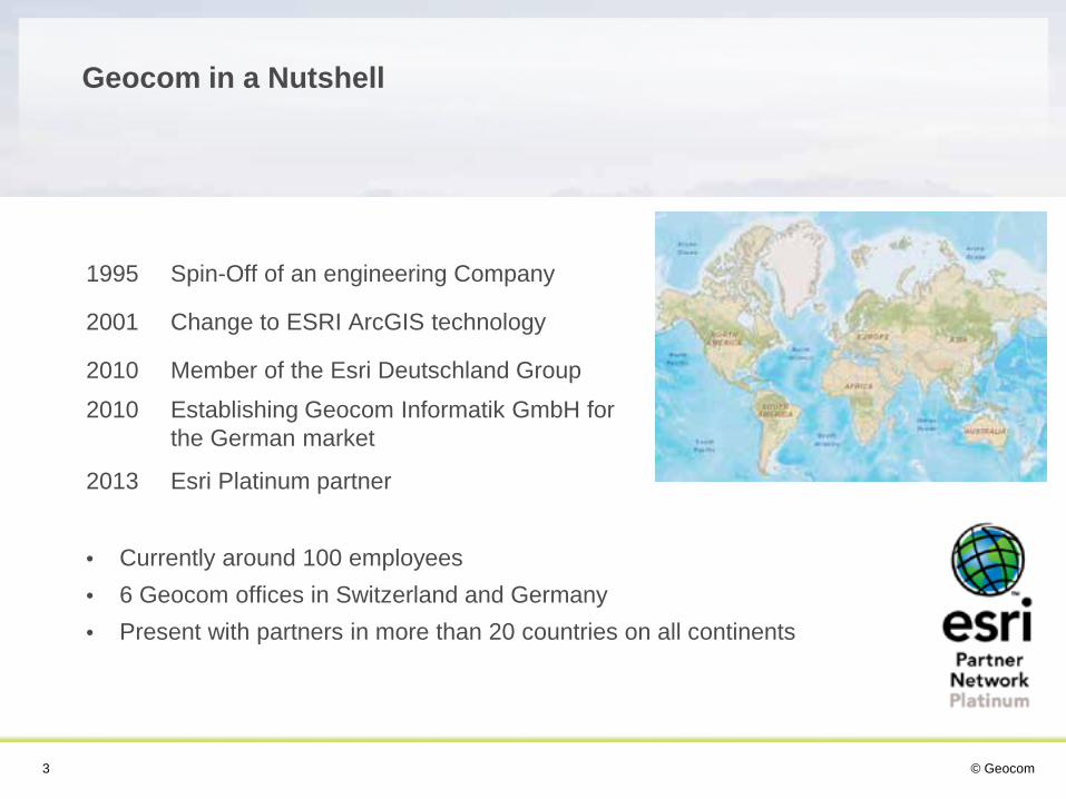
1995 Spin-Off of an engineering Company
2001 Change to ESRI ArcGIS technology
2010 Member of the Esri Deutschland Group
2010 Establishing Geocom Informatik GmbH for the German market
2013 Esri Platinum partner
• Currently around 100 employees • 6 Geocom offices in Switzerland and Germany • Present with partners in more than 20 countries on all continents
Geocom in a Nutshell

© Geocom 4
Market segments
Plant Management Energy
Public Infrastructure Transportation and Logistic
Cadastral Survey

© Geocom 5
SharePoint and GIS

© Geocom 6
• Collaboration • Document Management • Workflows • Etc.
The Power of Microsoft SharePoint

© Geocom 7
• Mapping • Visualization • Spatial reference • Attributive information
A map tells more than words!
The Power of GIS

© Geocom 8
GIS and SharePoint – a Perfect Team

© Geocom 9
About Integration

© Geocom 10
Interoperability on Different Levels
Data transfer
GUI/functions
Processes

© Geocom 11
• A software system forces an organization to work with structured processes!
• Define responsibilities • Define in which system the data will be stored • Define the lead system and object identifiers
Processes

© Geocom 12
• User requirement: One system, mature integration • Find an appropriate way to integrate the map • Find a good way of interaction between map and SharePoint
GUI/functions

© Geocom 13
• Define, if data must be transferred between GIS database and SharePoint
• There is no way to directly use the SharePoint database
• Use REST services!
Data transfer

© Geocom 14
Technologies for Sharepoint and GIS Integration
Esri Maps for SharePoint Geocom Solution (in cooperation with IOZ AG)
Characteristic Product Project-specific Development
Relation between SharePoint & GIS
Based on Geocoding (Place names, addresses, coordinates etc.)
Based on Keyfields
Geometry Editing No Yes
Technology Frontend
Javascript or Silverlight Javascript
Technology Backend
.NET (C#) .NET (C#)
Prerequisites ArcGIS Online for Organziations Plan
ArcGIS for Server or ArcGIS Online Webmap
© Geocom 16
Example: Construction Coordination, City of Luzern
© Geocom 17
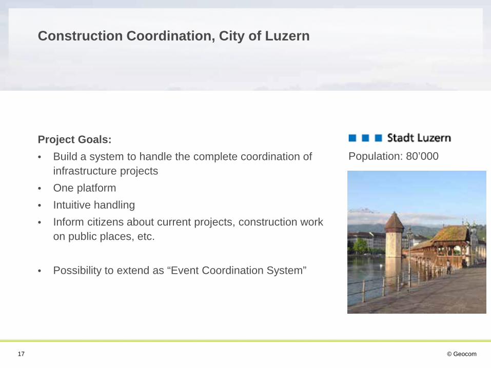
Project Goals: • Build a system to handle the complete coordination of
infrastructure projects • One platform • Intuitive handling • Inform citizens about current projects, construction work
on public places, etc.
• Possibility to extend as “Event Coordination System”
Construction Coordination, City of Luzern
Population: 80’000

© Geocom 19
Interaction between map and SharePoint list

© Geocom 20
Select event in map and show details in SharePoint
© Geocom 21
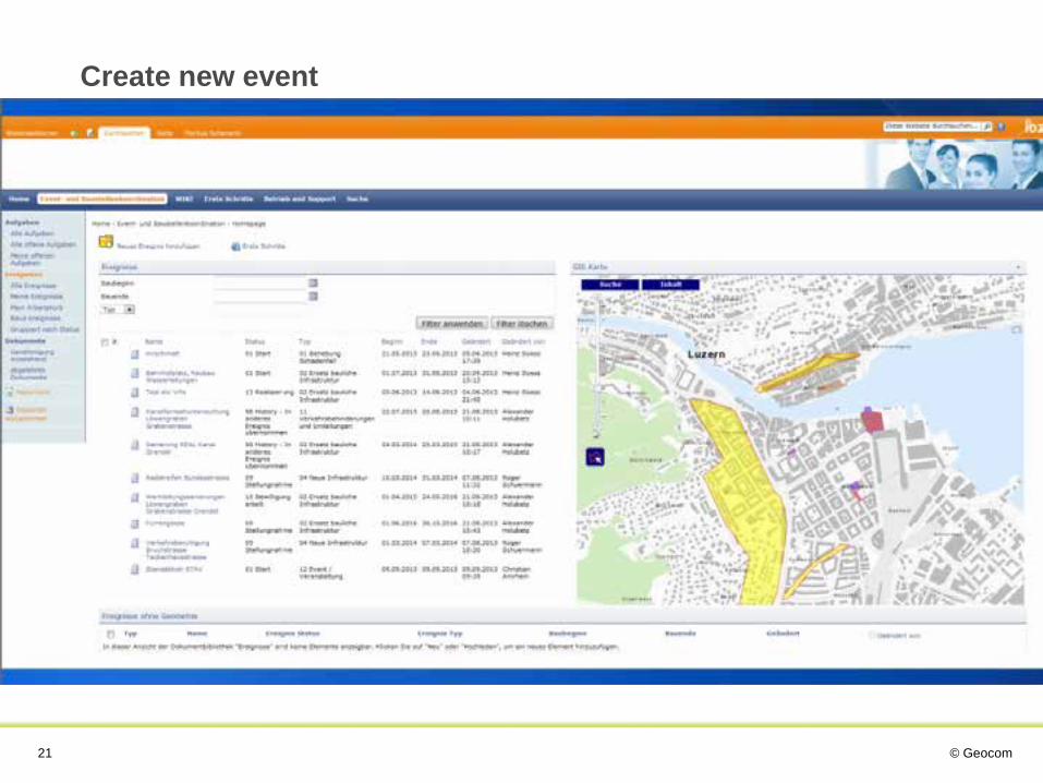
Create new event
© Geocom 22
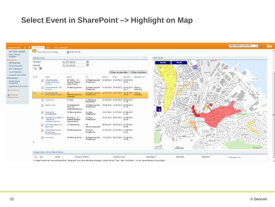
Select Event in SharePoint –> Highlight on Map

© Geocom 23
Select Events on Map -> Highlight in SharePoint
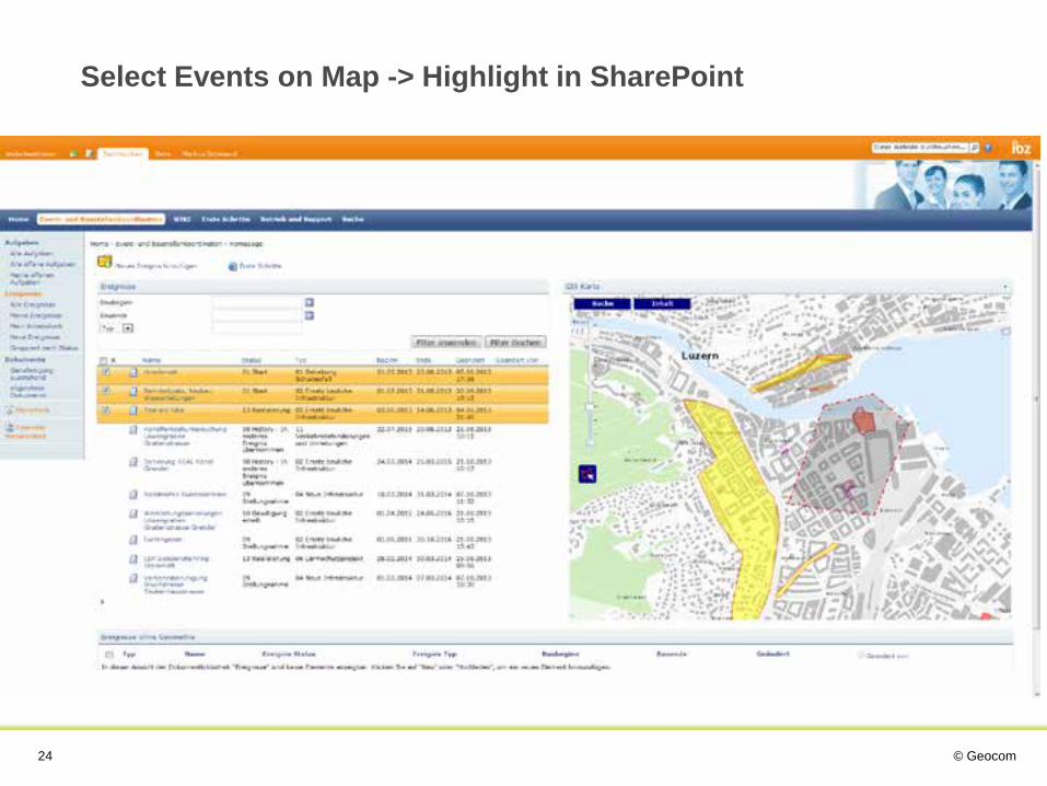
© Geocom 24
Select Events on Map -> Highlight in SharePoint
© Geocom 25
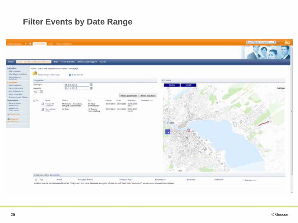
Filter Events by Date Range

© Geocom 26
Create New Event

© Geocom 27
Create New Event
© Geocom 28
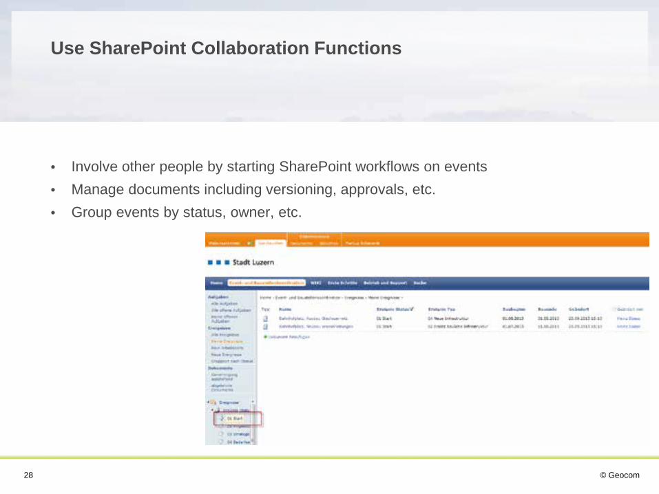
• Involve other people by starting SharePoint workflows on events • Manage documents including versioning, approvals, etc. • Group events by status, owner, etc.
Use SharePoint Collaboration Functions

© Geocom 29
Contract Management • Manage contracts in SharePoint • Visualize spatial relevance of each contract
Map Archive • Archive maps (pdf, dxf, etc) in SharePoint • Visualize spatial relevance • Find archived maps based on location
Many others…
Other Project Ideas?

Thank you for your attention