data sources for arcgis -...
TRANSCRIPT

Disclaimer: Much of this presentation is applicable only to ArcGIS Desktop Users on the Indiana State Government network.
Data Sources for ArcGIS
Mike Martin DNR Agency GIS Coordinator

Data Sources for ArcGIS
Local Data Agency or Enterprise Data Internet services

Local data—on your computer
Internal data types on local, home, or agency shared drives
• File Geodatabases • Personal Geodatabases • Shape Files • CAD Files • Excel Spreadsheets • Text files • etc.
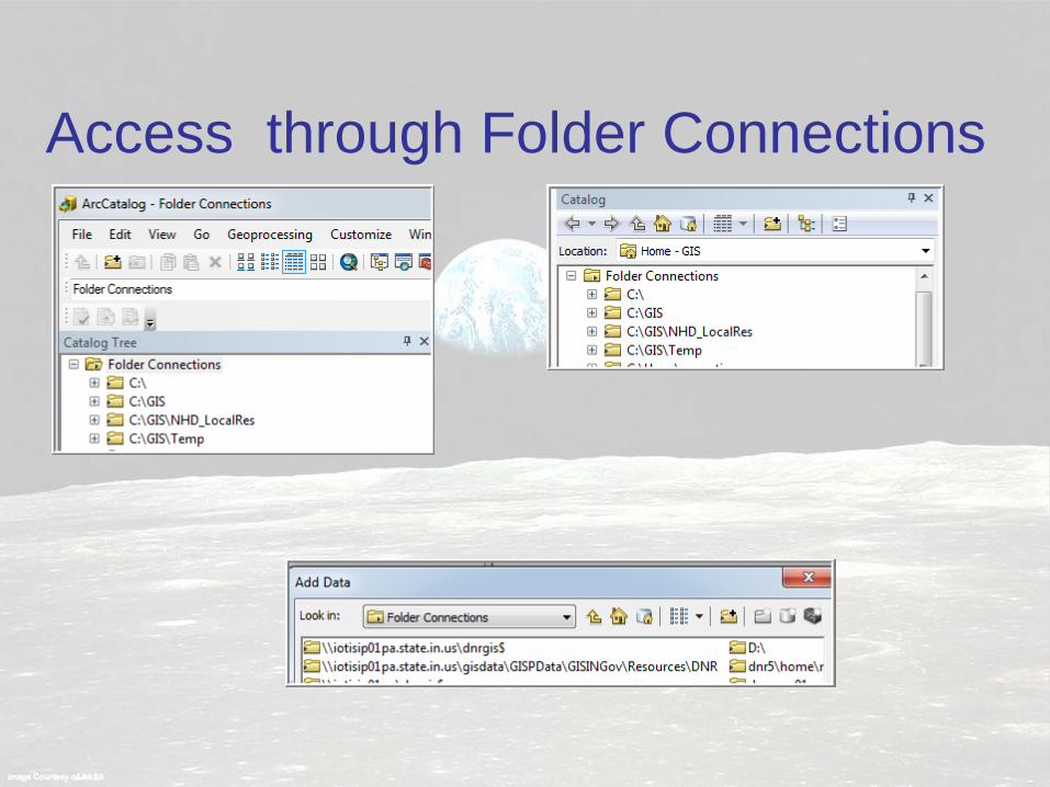
Access through Folder Connections

Don’t see your folder? Add a new folder connection
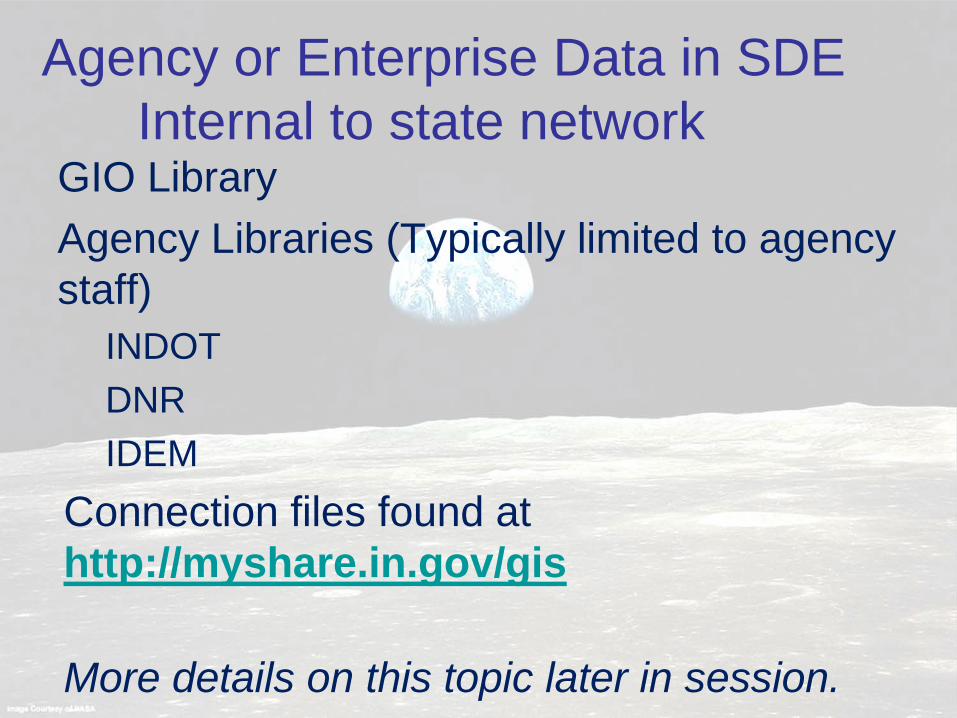
Agency or Enterprise Data in SDE Internal to state network GIO Library Agency Libraries (Typically limited to agency staff)
INDOT DNR IDEM
Connection files found at http://myshare.in.gov/gis
More details on this topic later in session.
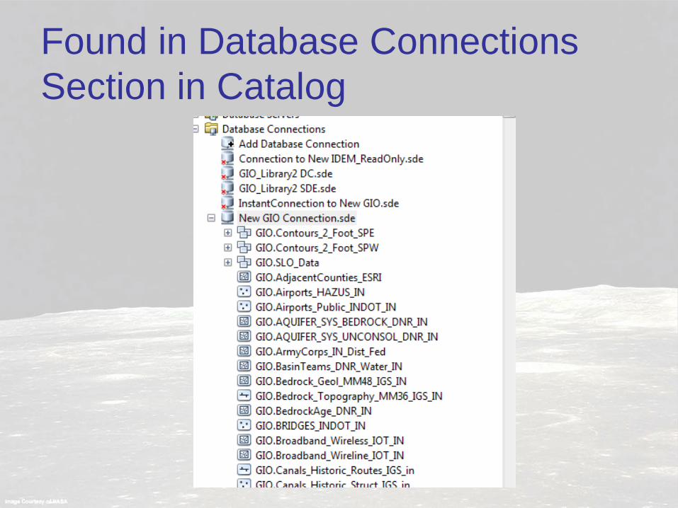
Found in Database Connections Section in Catalog

Services: Available even on the Space Station

Services stream data via internet Services are added and accessed from GIS Servers section in Catalog
State Agencies GIS Services URLs https://gis.in.gov/arcgis/services https://imagery.gis.in.gov/arcgis/services

Many organizations host Services Indiana Map http://maps.indiana.edu/arcgis/services IBRC (Indiana Business Research Center) The National Map http://services.nationalmap.gov/arcgis/services Individual agencies, NRCS, EPA, USGS, etc. Some Connection files found at http://myshare.in.gov/gis
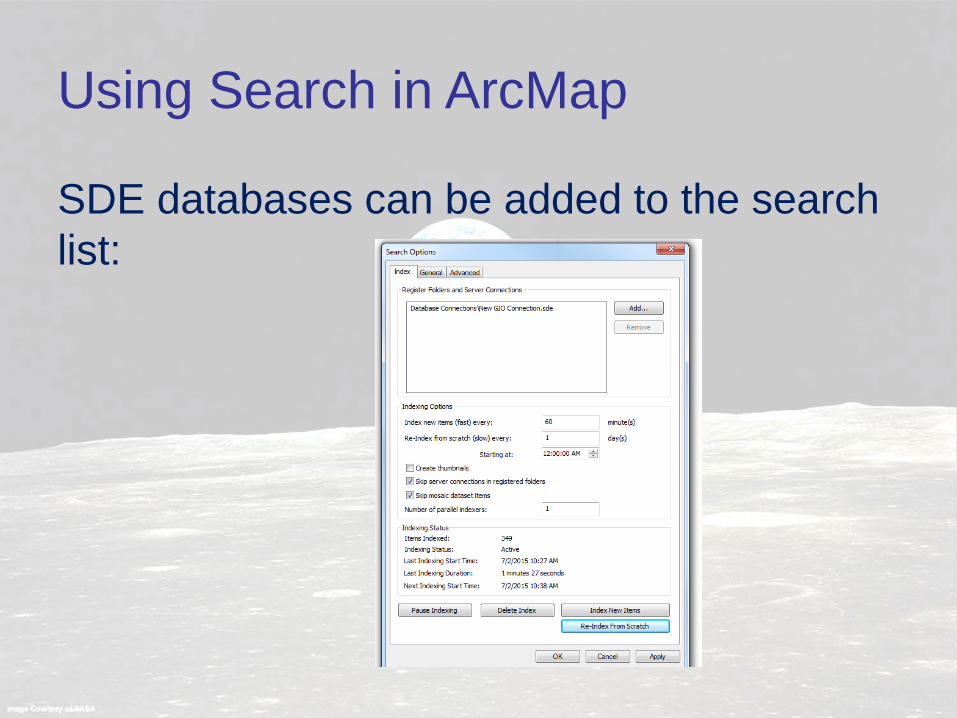
Using Search in ArcMap
SDE databases can be added to the search list:

Using Search in ArcMap
ArcGIS Online option can access gis.in.gov, GIO Image Services, Indiana Map services and other services registered to ArcGIS Online.
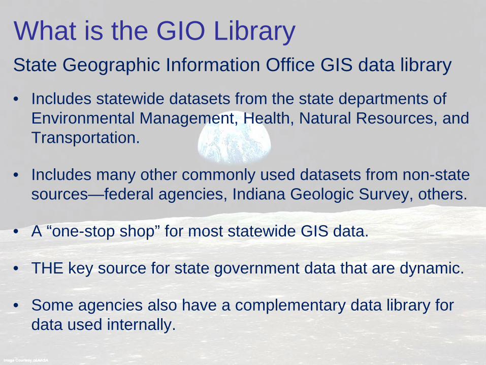
State Geographic Information Office GIS data library
• Includes statewide datasets from the state departments of Environmental Management, Health, Natural Resources, and Transportation.
• Includes many other commonly used datasets from non-state sources—federal agencies, Indiana Geologic Survey, others.
• A “one-stop shop” for most statewide GIS data.
• THE key source for state government data that are dynamic.
• Some agencies also have a complementary data library for data used internally.
What is the GIO Library
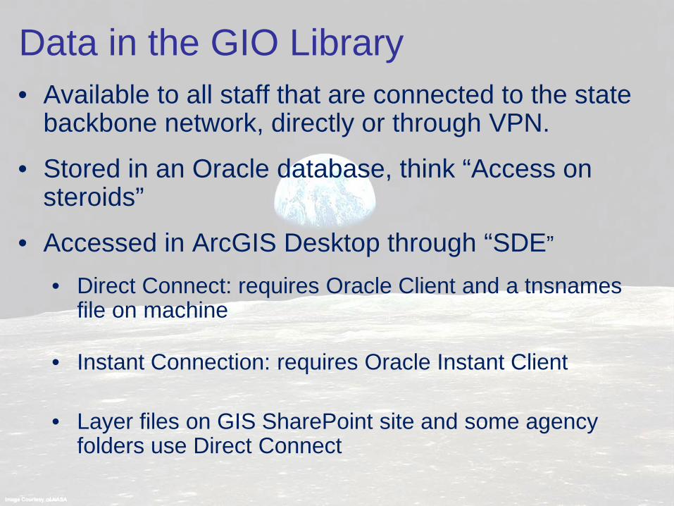
• Available to all staff that are connected to the state backbone network, directly or through VPN.
• Stored in an Oracle database, think “Access on steroids”
• Accessed in ArcGIS Desktop through “SDE”
• Direct Connect: requires Oracle Client and a tnsnames file on machine
• Instant Connection: requires Oracle Instant Client • Layer files on GIS SharePoint site and some agency
folders use Direct Connect
Data in the GIO Library

Data in the GIO Library
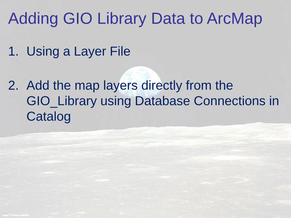
1. Using a Layer File
2. Add the map layers directly from the
GIO_Library using Database Connections in Catalog
Adding GIO Library Data to ArcMap

Add the map layers to ArcMap using layer files that have been saved.
https://myshare.in.gov/gis/Layer%20Files/Forms/AllItems.aspx • Download from Direct Connect folder • Drag and drop from a shared file location, e.g. DNR:
M:\LayerFiles • Drag and drop from a Local file location
• Layer files can be renamed to make them more user friendly, and many of them have enhanced symbology
• While a layer file may not exist for all of the datasets, many commonly used data are included on SharePoint site and other locations.
Adding GIO Library data using Layer Files

• All available datasets can be found with this connection.
• The dataset names begin with GIO and typically include a descriptive name and steward. • GIO.Bridges_INDOT_IN • GIO.Trails_DNR_OutRec_IN
• Use search option in ArcMap to find data
• No layer properties set
Adding GIO Library data using Database Connection

1. Determine network location (e.g.
M:\ConnectionFiles\SDE_Connections) of GIO_Library2.sde file or download it to your computer from the State GIS SharePoint Site
2. In Catalog or ArcCatalog, make sure you have a folder connection to the location the file is stored and browse to it.
3. Right-click on GIO_Library2 and copy.
4. Right-click on Database Connections and paste.
5. Double-click on the connection under Database Connections to open.
Adding the GIO_Library2.sde connection to Catalog

Adding GIO Library Data using Database Connection
Drag and drop from ArcCatalog

Adding GIO Library Data using Database Connection
Drag and drop from ArcMap Catalog window

Adding GIO Library Data using Database Connection
Use Add Data

Demo
Mike Martin DNR Agency GIS Coordinator
ArcCatalog Copy/paste connection file Explore the library View metadata
ArcMap Find and open connection Set up Catalog for search Add data using Layer File Add data using database connection