distance time buses langley waymaking mill os map
TRANSCRIPT
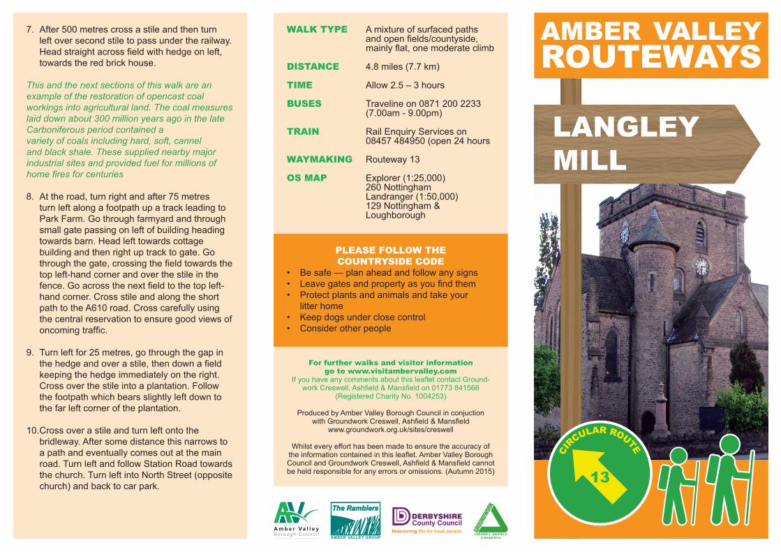
LANGLEYMILL
PLEASE FOLLOW THE COUNTRYSIDE CODE
• Besafe—planaheadandfollowanysigns• Leavegatesandpropertyasyoufindthem• Protectplantsandanimalsandtakeyour litterhome• Keepdogsunderclosecontrol• Considerotherpeople
For further walks and visitor information go to www.visitambervalley.com
IfyouhaveanycommentsaboutthisleafletcontactGround-workCreswell,Ashfield&Mansfieldon01773841566
(RegisteredCharityNo.1004253)
ProducedbyAmberValleyBoroughCouncilinconjuctionwithGroundworkCreswell,Ashfield&Mansfield
www.groundwork.org.uk/sites/creswell
Whilsteveryefforthasbeenmadetoensuretheaccuracyoftheinformationcontainedinthisleaflet.AmberValleyBoroughCouncilandGroundworkCreswell,Ashfield&Mansfieldcannotbeheldresponsibleforanyerrorsoromissions.(Autumn2015)
AMBER VALLEY ROUTEWAYS
13
WALK TYPE Amixtureofsurfacedpaths andopenfields/countyside, mainlyflat,onemoderateclimb
DISTANCE 4.8miles(7.7km)
TIME Allow2.5–3hours
BUSES Travelineon08712002233 (7.00am-9.00pm)
TRAIN RailEnquiryServiceson 08457484950(open24hours
WAYMAKING Routeway13
OS MAP Explorer(1:25,000) 260Nottingham Landranger(1:50,000) 129Nottingham& Loughborough
7. After500metrescrossastileandthenturnleftoversecondstiletopassundertherailway.Headstraightacrossfieldwithhedgeonleft,towardstheredbrickhouse.
This and the next sections of this walk are an example of the restoration of opencast coalworkings into agricultural land. The coal measures laid down about 300 million years ago in the late Carboniferous period contained avariety of coals including hard, soft, cannel and black shale. These supplied nearby major industrial sites and provided fuel for millions of home fires for centuries
8. Attheroad,turnrightandafter75metresturnleftalongafootpathupatrackleadingtoParkFarm.Gothroughfarmyardandthroughsmallgatepassingonleftofbuildingheadingtowardsbarn.Headlefttowardscottagebuildingandthenrightuptracktogate.Gothroughthegate,crossingthefieldtowardsthetopleft-handcornerandoverthestileinthefence.Goacrossthenextfieldtothetopleft-handcorner.CrossstileandalongtheshortpathtotheA610road.Crosscarefullyusingthecentralreservationtoensuregoodviewsofoncomingtraffic.
9. Turnleftfor25metres,gothroughthegapinthehedgeandoverastile,thendownafieldkeepingthehedgeimmediatelyontheright.Crossoverthestileintoaplantation.Followthefootpathwhichbearsslightlyleftdowntothefarleftcorneroftheplantation.
10.Crossoverastileandturnleftontothebridleway.Aftersomedistancethisnarrowstoapathandeventuallycomesoutatthemainroad.TurnleftandfollowStationRoadtowardsthechurch.TurnleftintoNorthStreet(oppositechurch)andbacktocarpark.

This walk gives very good opportunities to view two aspects of Langley Mill’s industrial heritage,namely canals and coal.
Start - Car Park on North Street
1. LeavecarparkandturnleftdownNorthStreettowardsChurch.CrossStationRoadatthetrafficlightcontrolledpedestriancrossingandturnright,passingcricketclub.TurnleftintoAldredsLaneandthenleftintoAmberDrive.
2. AttheendofAmberDrivepassundertherailwaylineandintoLimeAvenue.TurnrightintoBrookvaleRoad,straightacrossMilnhayRoadanddowntheunnamedlaneopposite.After250metres,atarighthandbendinthelane,takethefootpathofftotheleftthroughtotheErewashCanal,crossingabridgeovertheRiverErewash.
This is the northern end of the Erewash Canalwhere it joined the Nottingham and CromfordCanals at the Great Northern Basin. The basinand the Cromford Canal were built between 1788and 1794. It was constructed to connect this areawith the industrial areas of Manchester and thenorth-west. The Cromford Canal was last used in1908 and fell into disrepair, but the basin and its link to the Erewash Canal were restored in 1973 toprovide leisure facilities.
3. Withoutcrossingthecanalturnleftalongthetowpathfor500metres.GoundertheA608intotheGreatNorthernBasinoftheCromfordCanal.Turnbackuptheramptothepavementbesidethemainroad.
4. Turnrightandafter200metresturnrightontoCromfordRoad.CrosstheroadandcarryonalongCromfordRoadandtakethirdturningonleftintoQueenStreet.
OrdnanceSurvey©CrownCopyright.Allrightsreserved.1000213212013
LangleyMill
Aldercar
Eastwood
Heanor
Langley
GreatNorthBasin
A610
Park Farm
StationRoad
Erewash C
anal
UpperDunstead
Road
2
1
3
5
4
6
87
9
10
A610
A608
A608
NorthStreet
QueenStreet
5. FollowpathtolefthandsideofQueenStreetRecreationGround.Turnrightontopathbetweenbasketballcourtandchildren’splaygroundandfollowtocomeoutontoArgyleStreet.Turnleftandthenimmediatelyrightdownthejitty.
6. AtthemainCromfordRoadturnleft.Continueuntilreachingasharpleft-handbendandthencontinuestraightondownPlumptreRoad.Attheend,takethetracknexttotherailwayundertheA610andthroughgap.Keeptherailwayimmediatelyontheleft.