gunnar misund1 real time management of massive 2d datasets gunnar misund
Post on 21-Dec-2015
223 views
TRANSCRIPT
Gunnar Misund 1
REAL TIME MANAGEMENT
OF MASSIVE 2D DATASETS
Gunnar Misund
Gunnar Misund 2
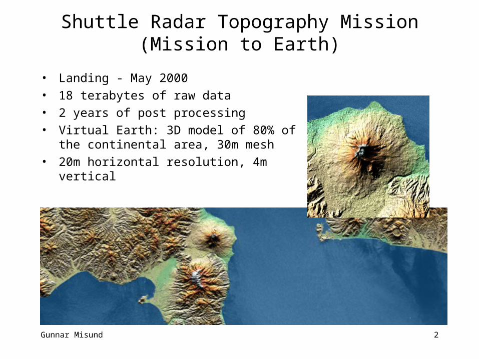
Shuttle Radar Topography Mission (Mission to Earth)
• Landing - May 2000 • 18 terabytes of raw data• 2 years of post processing• Virtual Earth: 3D model of 80% of the
continental area, 30m mesh• 20m horizontal resolution, 4m vertical
Gunnar Misund 3
ONE WORLD – ONE MAP
• On-the-fly generation of user defined maps in real time, typically via Internet servers
• Any combination of layers• Any selection, from global to street level views• Any resolution, from large graphical desktop displays to small
PDA/cellular screens• Frequently updated in formation• Such servers already present, e.g.
http://tiger.census.gov/cgibin/mapsurfer• ...BUT: Still more to do
Gunnar Misund 4
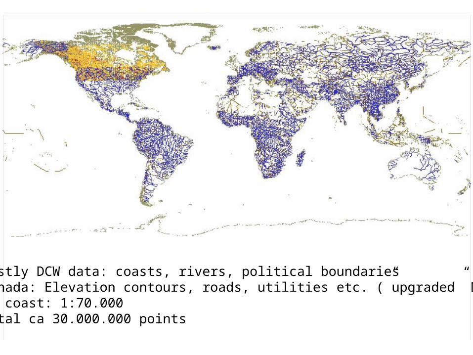
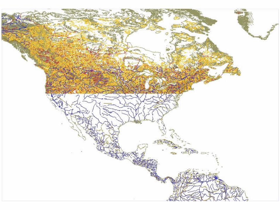
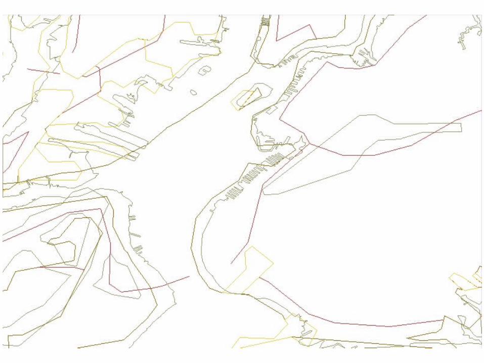
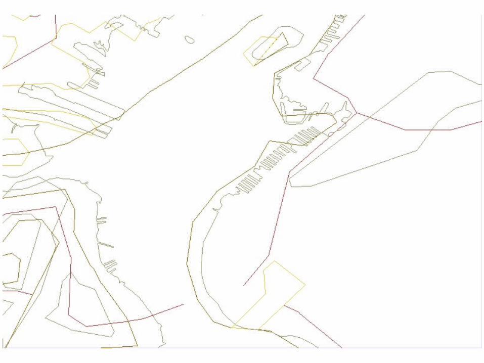
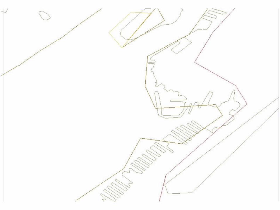
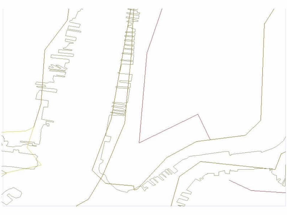
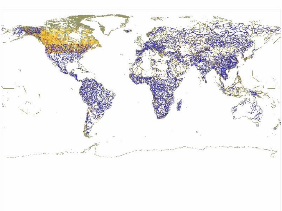
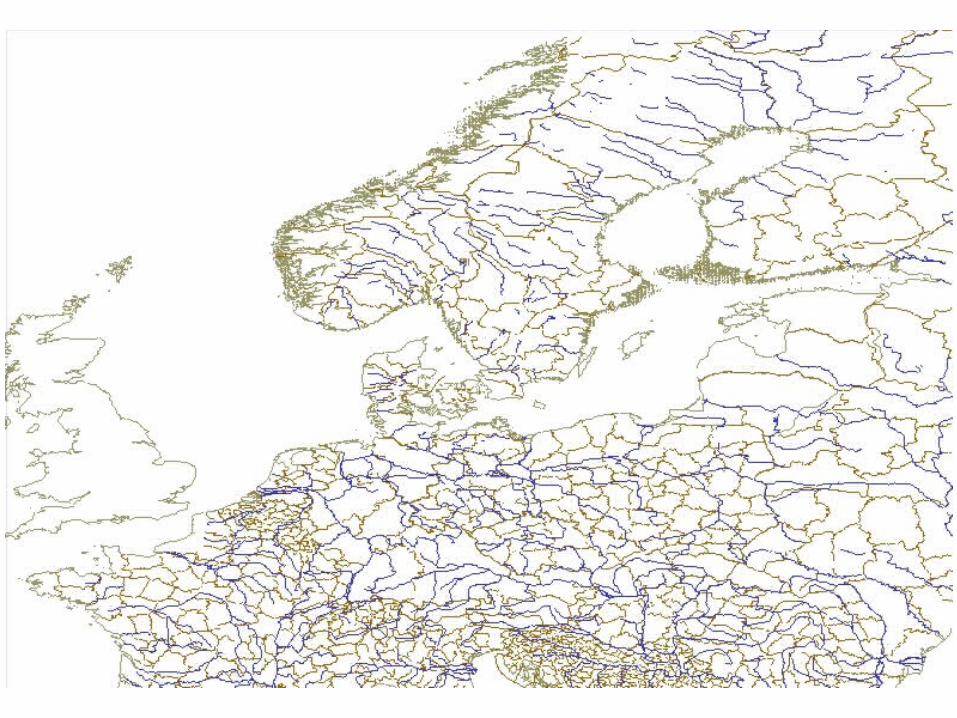
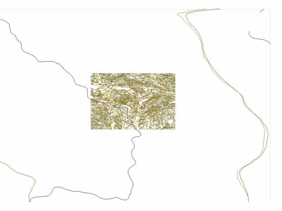
Mostly DCW data: coasts, rivers, political boundariesCanada: Elevation contours, roads, utilities etc. (”upgraded” DCW)US coast: 1:70.000Total ca 30.000.000 points
Gunnar Misund 5
Gunnar Misund 6
Gunnar Misund 7
Gunnar Misund 8
Gunnar Misund 9
Gunnar Misund 10
Gunnar Misund 11
Gunnar Misund 12
Gunnar Misund 13
Gunnar Misund 14
Gunnar Misund 15
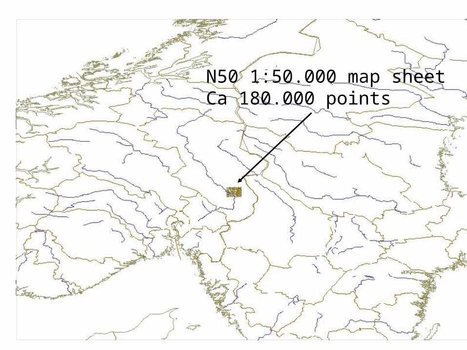
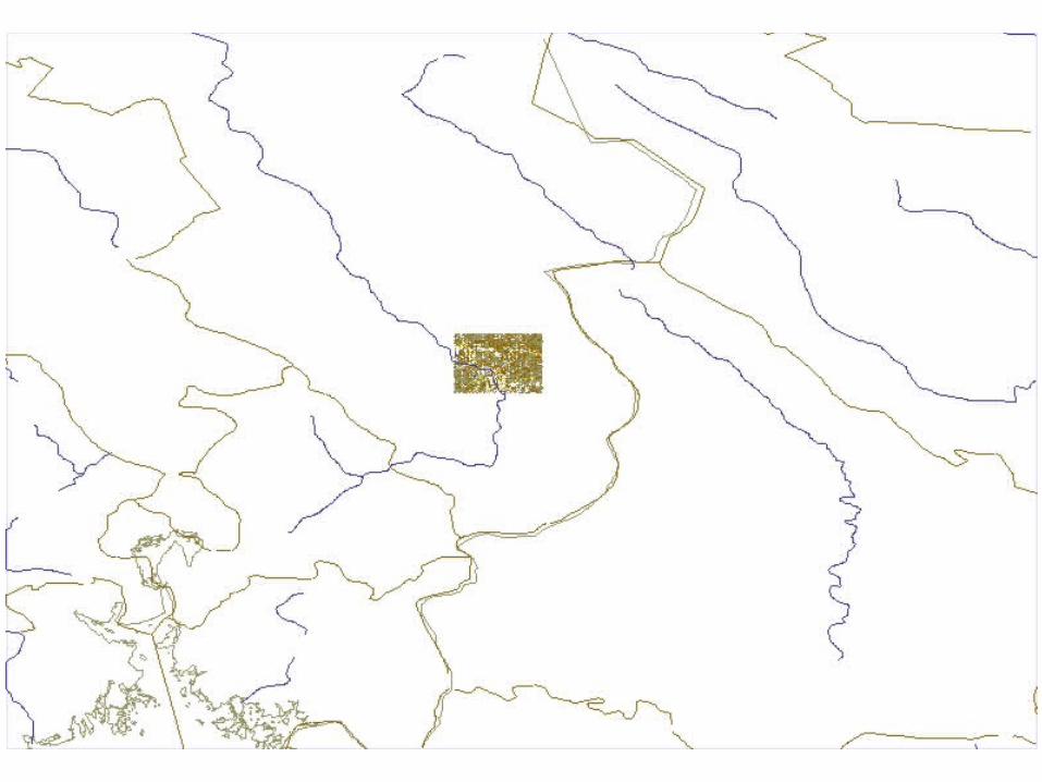
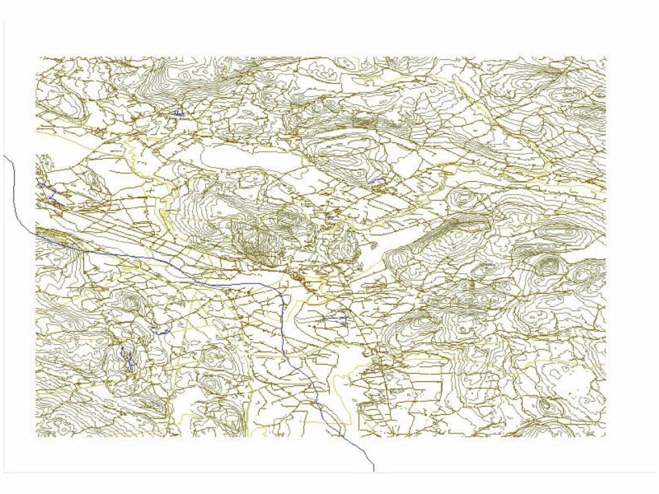
N50 1:50.000 map sheetCa 180.000 points
Gunnar Misund 16
Gunnar Misund 17
Gunnar Misund 18
Gunnar Misund 19
Gunnar Misund 20
Gunnar Misund 21
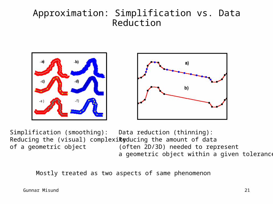
Approximation: Simplification vs. Data Reduction
Simplification (smoothing): Reducing the (visual) complexity of a geometric object
Data reduction (thinning): Reducing the amount of data (often 2D/3D) needed to represent a geometric object within a given tolerance
Mostly treated as two aspects of same phenomenon
Gunnar Misund 22
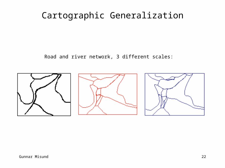
Cartographic Generalization
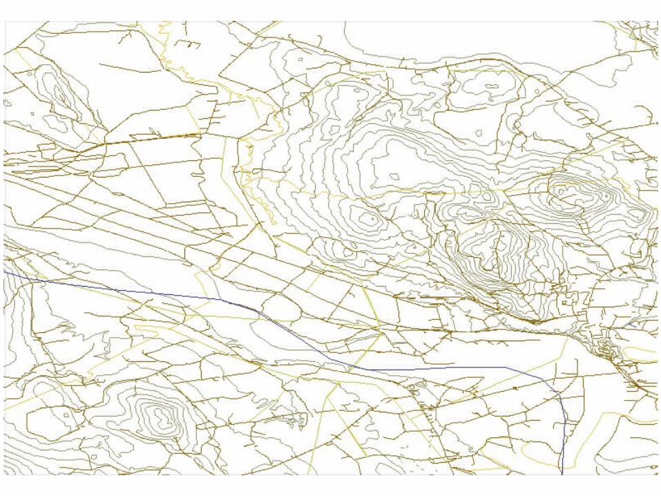
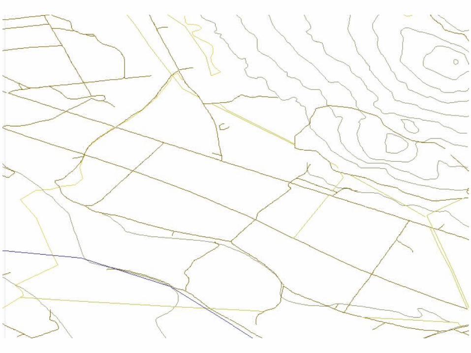
Road and river network, 3 different scales:
Gunnar Misund 23
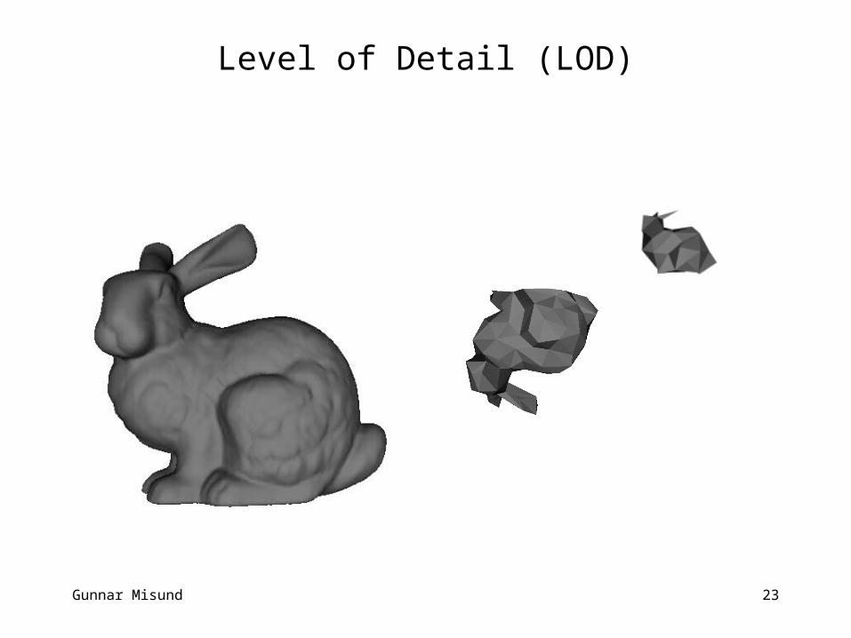
Level of Detail (LOD)
Gunnar Misund 24
MASSIVE MAPS SERVERS – SOME REQUIREMENTS I
• Efficient storage:– The size of the database should propotional with the size of
the dataset– Multiple representations should be avoided, prone to
inconstency problems• Efficient retrieval:
– Efficient window query– Efficient approximation of the data in the query window– The combined query/approximation requests must run in
sublinear time– Can’t afford to inspect every point in the data set– Should be close to logaritmic order– Must run in external memory
• Efficient maintaince:– Removals, additions and modifications must run in
sublinear time
Gunnar Misund 25
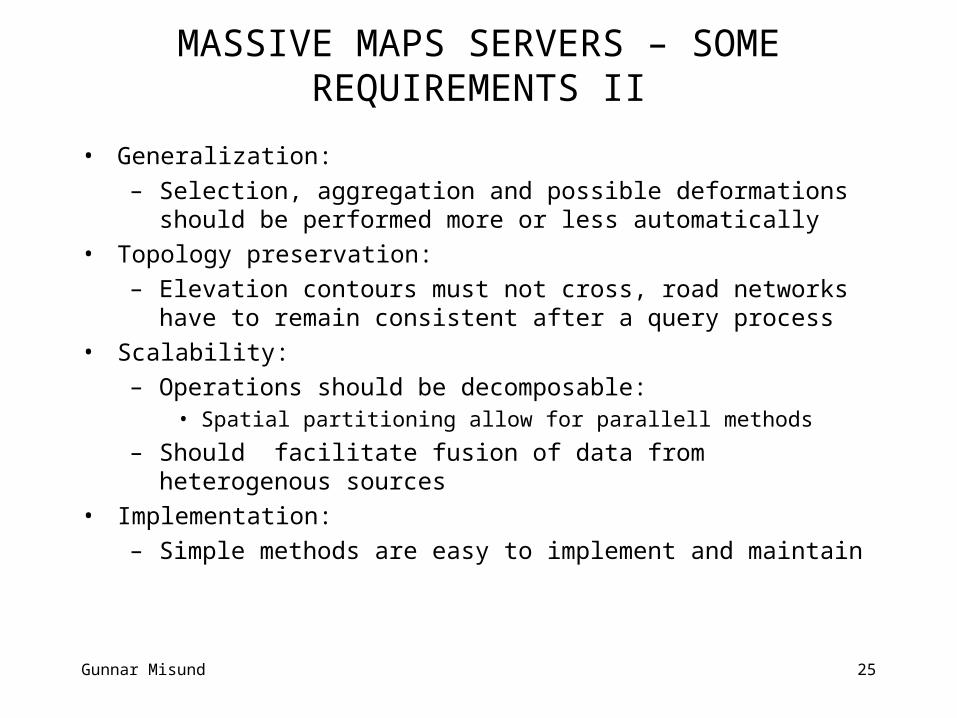
MASSIVE MAPS SERVERS – SOME REQUIREMENTS II
• Generalization:– Selection, aggregation and possible deformations should
be performed more or less automatically• Topology preservation:
– Elevation contours must not cross, road networks have to remain consistent after a query process
• Scalability:– Operations should be decomposable:
• Spatial partitioning allow for parallell methods
– Should facilitate fusion of data from heterogenous sources• Implementation:
– Simple methods are easy to implement and maintain
Gunnar Misund 26
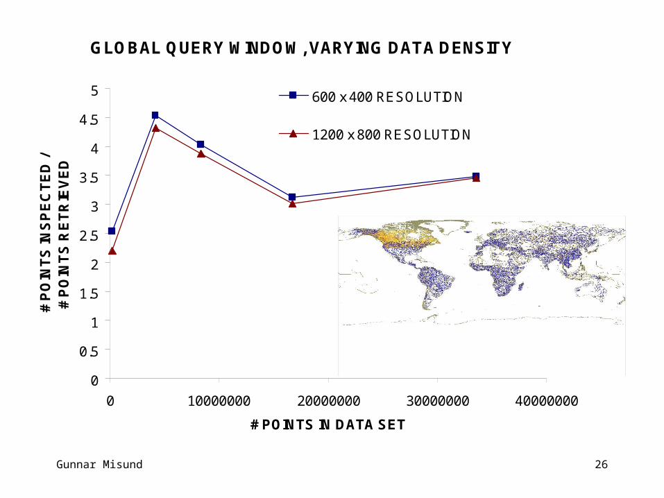
GLOBAL QUERY WINDOW, VARYING DATA DENSITY
0
0.5
1
1.5
2
2.5
3
3.5
4
4.5
5
0 10000000 20000000 30000000 40000000
# POINTS IN DATA SET
# P
OIN
TS
INS
PE
CT
ED
/ #
PO
INT
S R
ET
RIE
VE
D
600 x 400 RESOLUTION
1200 x 800 RESOLUTION
Gunnar Misund 27
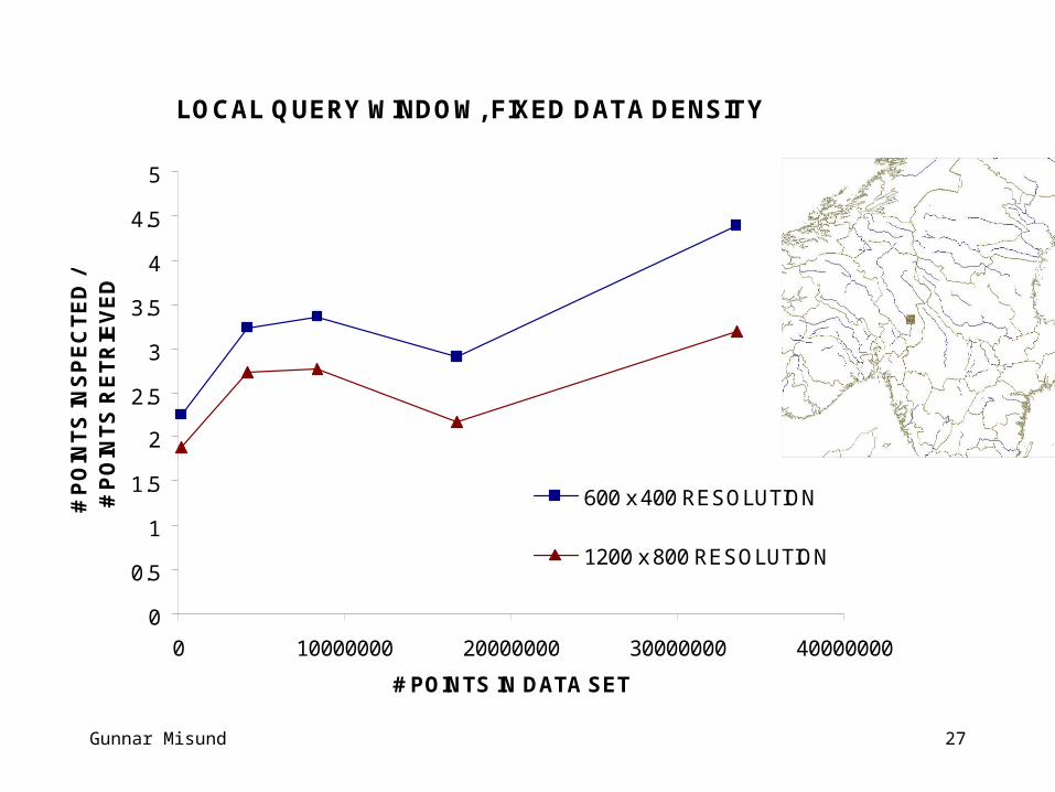
LOCAL QUERY WINDOW, FIXED DATA DENSITY
0
0.5
1
1.5
2
2.5
3
3.5
4
4.5
5
0 10000000 20000000 30000000 40000000
# POINTS IN DATA SET
# P
OIN
TS
INS
PE
CT
ED
/ #
PO
INT
S R
ET
RIE
VE
D
600 x 400 RESOLUTION
1200 x 800 RESOLUTION
Gunnar Misund 28
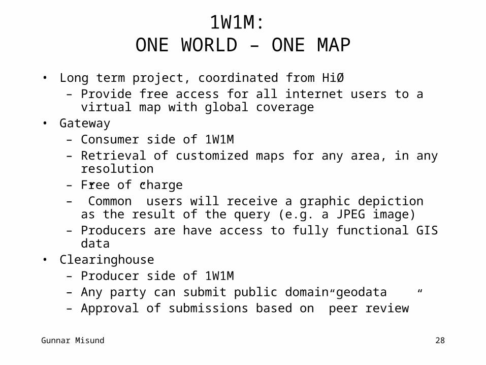
1W1M: ONE WORLD – ONE MAP
• Long term project, coordinated from HiØ– Provide free access for all internet users to a virtual map
with global coverage• Gateway
– Consumer side of 1W1M– Retrieval of customized maps for any area, in any
resolution– Free of charge– ”Common” users will receive a graphic depiction as the
result of the query (e.g. a JPEG image)– Producers are have access to fully functional GIS data
• Clearinghouse– Producer side of 1W1M– Any party can submit public domain geodata– Approval of submissions based on ”peer review”
Gunnar Misund 29
COMMENTS
• One World – One Map solutions are technologically within reach
• New user demands, new sources of data and new technology calls for – new geodata models– rethinking of the generalization consept– distributed and integrated storage and retrival systems– increased focus on standards and integration issue