headings - 2011 issue 2
TRANSCRIPT

Continental Mapping recently completed an exciting project at Aztalan State Park, providing Wisconsin DNR archaeologists with high accuracy lidar-derived elevation data for a unique look at this historically important site.
A federally designated National Historic Landmark, Aztalan is a major archaeological site in the Upper Midwest. The state park is the site of an ancient Middle Mississippian village that thrived along the Crawfish River near current Lake Mills, Wisconsin between AD 900 and 1200, before being abandoned for unknown reasons between 1200 and 1300. Central to this village are large, flat-topped pyramidal mounds similar to the larger, more well-known platform mounds at the Cahokia site near St. Louis. Also located near the village site are several conical marker mounds. What remains of the earthen works have been maintained by the park, and a large wooden stockade around the village has been reconstructed, giving visitors an impressive understanding of the site. continued on page 3...
Mapping Wisconsin’s Pyramids with Lidar
- Mapping from Earth, Sky, and Space -
Continental Mapping Expansion ContinuesContinental Mapping is pleased to announce multiple changes as we continue to expand our capacity at all of our regional offices in order to better serve our clients across the country. IT Upgrades and a New Phone NumberRecent improvements to our IT systems at all offices include a new VOIP phone system, allowing for one phone number to reach any of our offices. Existing numbers will continue to work as well, but the new phone number puts you directly in touch with Mary, our headquarters receptionist, who will promptly connect you to the party you’re trying to reach, no matter their location.
continued on page 2...
This new number reaches all four of our locations:
888.815.3327
Bare earth lidar model of Southwest Temple Mound
Continental Mapping Expansion continued...
In addition to phone system changes, we have invested in several IT initiatives to improve our inter-office connectivity. These include higher bandwidth, improved servers at headquarters to better serve data to our satellite offices, and a video conferencing system for use between offices and with clients.
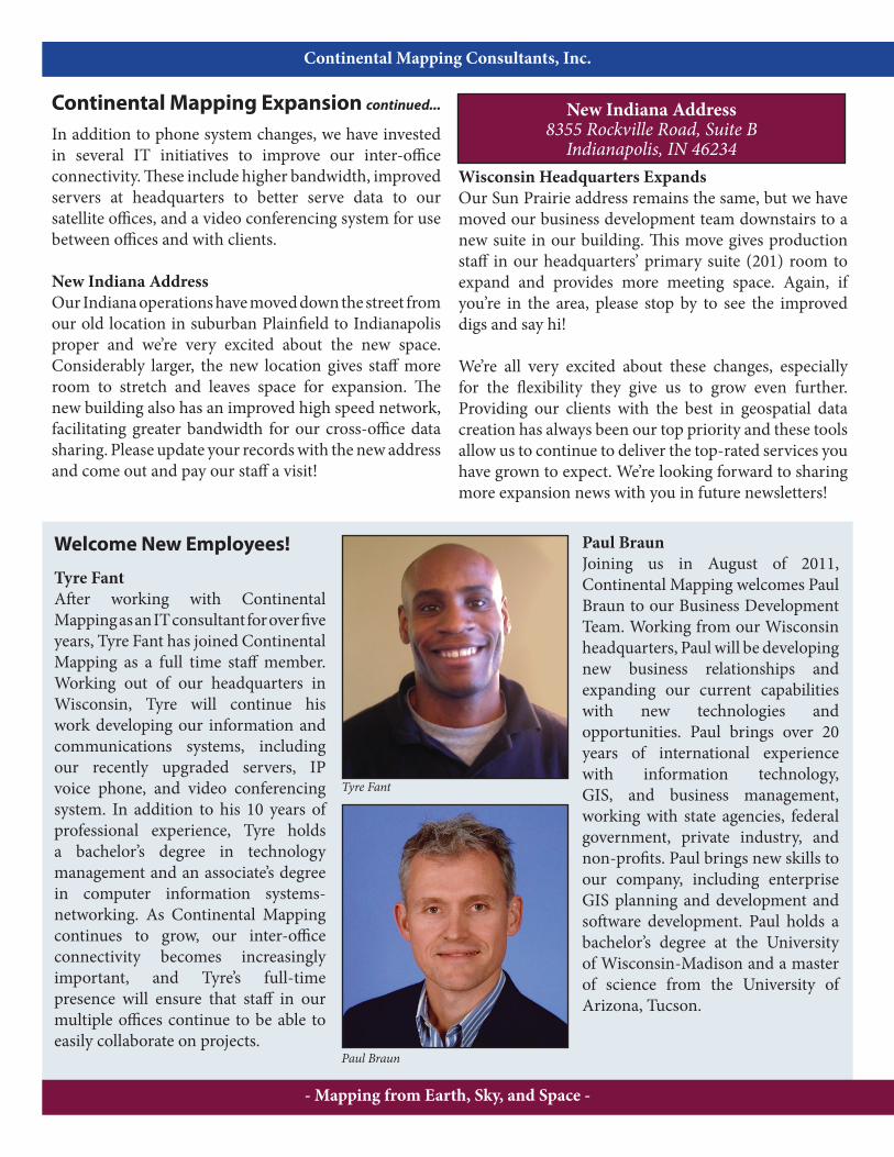
New Indiana AddressOur Indiana operations have moved down the street from our old location in suburban Plainfield to Indianapolis proper and we’re very excited about the new space. Considerably larger, the new location gives staff more room to stretch and leaves space for expansion. The new building also has an improved high speed network, facilitating greater bandwidth for our cross-office data sharing. Please update your records with the new address and come out and pay our staff a visit!
Wisconsin Headquarters ExpandsOur Sun Prairie address remains the same, but we have moved our business development team downstairs to a new suite in our building. This move gives production staff in our headquarters’ primary suite (201) room to expand and provides more meeting space. Again, if you’re in the area, please stop by to see the improved digs and say hi!
We’re all very excited about these changes, especially for the flexibility they give us to grow even further. Providing our clients with the best in geospatial data creation has always been our top priority and these tools allow us to continue to deliver the top-rated services you have grown to expect. We’re looking forward to sharing more expansion news with you in future newsletters!
- Mapping from Earth, Sky, and Space -
New Indiana Address8355 Rockville Road, Suite B
Indianapolis, IN 46234
Tyre Fant
Paul Braun
Continental Mapping Consultants, Inc.
Welcome New Employees!
Tyre FantAfter working with Continental Mapping as an IT consultant for over five years, Tyre Fant has joined Continental Mapping as a full time staff member. Working out of our headquarters in Wisconsin, Tyre will continue his work developing our information and communications systems, including our recently upgraded servers, IP voice phone, and video conferencing system. In addition to his 10 years of professional experience, Tyre holds a bachelor’s degree in technology management and an associate’s degree in computer information systems-networking. As Continental Mapping continues to grow, our inter-office connectivity becomes increasingly important, and Tyre’s full-time presence will ensure that staff in our multiple offices continue to be able to easily collaborate on projects.
Paul BraunJoining us in August of 2011, Continental Mapping welcomes Paul Braun to our Business Development Team. Working from our Wisconsin headquarters, Paul will be developing new business relationships and expanding our current capabilities with new technologies and opportunities. Paul brings over 20 years of international experience with information technology, GIS, and business management, working with state agencies, federal government, private industry, and non-profits. Paul brings new skills to our company, including enterprise GIS planning and development and software development. Paul holds a bachelor’s degree at the University of Wisconsin-Madison and a master of science from the University of Arizona, Tucson.

BAE Systems GXP User ConferenceSeptember 19-22, Chantilly, Virginia
SAME Midwest and Ohio River Valley Regional
October 4-6, Milwaukee, Wisconsin
Midwest Archaeological ConferenceOctober 13-15, La Crosse, Wisconsin
Missouri Society of Professional Surveyors
October 13-15, Springfield, Missouri
GEOINTOctober 16-19, San Antonio, Texas
GIS-Pro 2011: URISA’s Annual Conference
November 1-4, Indianapolis, Indiana
ASPRS Pecora 18 ConferenceNovember 14-17, Herndon, Virginia
SAME Small Business Conference for DoD Programs
November 28-30, National Harbor, Maryland
See Us At Upcoming Conferences!Continental Mapping will be attending several conferences in
the coming months. Look for us at the following:
Helping out the CommunityFrank Taylor and Ron Schonegg from our Indianapolis office recently volunteered at the 2011 Indiana State Fair. Staffing a shift at the Indiana Geographic Information Council (IGIC) booth in late August, they promoted the use of GIS in the state of Indiana and answered any questions regarding GIS and its uses. Thanks to Frank and Ron for contributing to the local community!
- Mapping from Earth, Sky, and Space -
Headings • Issue 2 2011
Wisconsin’s Pyramids continued...
To support further field exploration, identification, and earthwork profiles of features at this site, Wisconsin DNR called on Continental Mapping to create a high-accuracy surface model of the park. Aerial lidar data was collected with an average point spacing of 0.7m or better, with vertical accuracies of 0.15m RMSE. The DNR also plans on further developing this data in cooperation with students at Madison Media Institute, building a realistic digital 3D simulation showing the village at its peak for display at the park.
Continental Mapping is excited to have completed yet another lidar study of an important Midwest archaeological site. In 2008, we completed a similar high-accuracy lidar project for the Effigy Mounds National Monument on the Mississippi River in Iowa. Using lidar to penetrate dense tree cover and high grasses, a detailed elevation model was delivered to archaeologists with the National Park Service, allowing them to further understand the layout and positions of mounds, and eventually leading to their discovery of a previously unidentified mound.
Two boys take in the scenery from the top of the Southwest Temple Mound
Resembling a golf course, marker mounds at the edge of the park are seen over a recreation of the stockade that lined the village

For further information on these featuresor general inquiries, please contact:
Continental Mapping Consultants, Inc.
Wisconsin OfficeSun Prairie, WI
Indiana OfficeIndianapolis, IN
Oregon OfficePortland, OR
Kansas OfficeKansas City, KS
New number—reaches all locations888.815.3327
In This Issue:
• Mapping Wisconsin’s Pyramids with Lidar • Continental Mapping Expansion Continues
• Helping out the Community
• Welcome New Employees!
• Upcoming Conferences
Continental Mapping Consultants, Inc.121 S. Bristol Street, Suite 201Sun Prairie, WI 53590
RETURN SERVICE REQUESTED
PRST STDUS Postage
PAIDMadison WIPermit #1