history of subic
DESCRIPTION
................TRANSCRIPT
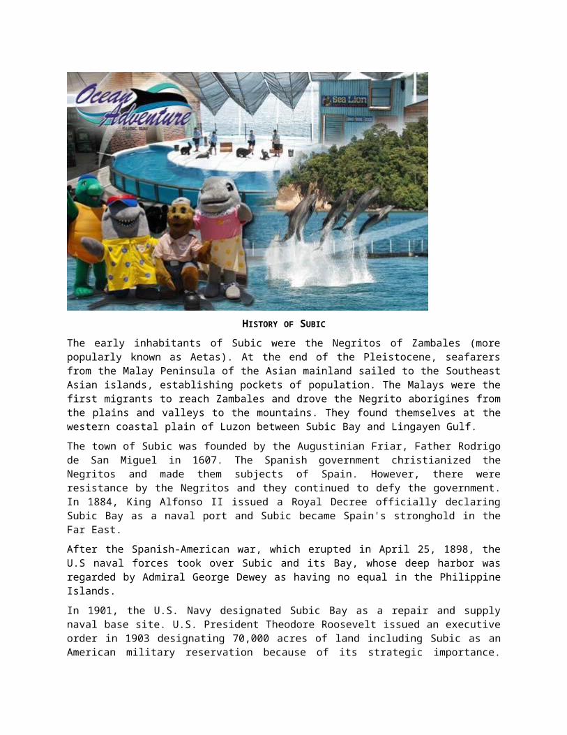
HISTORY OF SUBIC
The early inhabitants of Subic were the Negritos of Zambales (more popularly known as Aetas). At the end of the Pleistocene, seafarers from the Malay Peninsula of the Asian mainland sailed to the Southeast Asian islands, establishing pockets of population. The Malays were the first migrants to reach Zambales and drove the Negrito aborigines from the plains and valleys to the mountains. They found themselves at the western coastal plain of Luzon between Subic Bay and Lingayen Gulf.
The town of Subic was founded by the Augustinian Friar, Father Rodrigo de San Miguel in 1607. The Spanish government christianized the Negritos and made them subjects of Spain. However, there were resistance by the Negritos and they continued to defy the government. In 1884, King Alfonso II issued a Royal Decree officially declaring Subic Bay as a naval port and Subic became Spain's stronghold in the Far East.
After the Spanish-American war, which erupted in April 25, 1898, the U.S naval forces took over Subic and its Bay, whose deep harbor was regarded by Admiral George Dewey as having no equal in the Philippine Islands.
In 1901, the U.S. Navy designated Subic Bay as a repair and supply naval base site. U.S. President Theodore Roosevelt issued an executive order in 1903 designating 70,000 acres of land including Subic as an American military reservation because of its strategic importance. Nearly 50% of Subic's original land area became part of the military reservation area.
Subic was in ruins after the Japanese bombers and fighter planes attacked Subic Bay and Olongapo on December 14, 1941. During the Japanese occupation from 1942 to 1945, Subic served as a monitoring and defense facility of the Japanese Imperial Army until the end of World War II. On January 29, 1945, 40,000 troops landed in Zambales and advanced through Subic Bay to regain control of the base.
Olongapo, a barrio of Subic and part of the U.S. Military Reservations was turned over to the Philippines and converted into a municipality by virtue of Executive Order No. 366 issued by then President Carlos P. Garcia in December 7, 1959. Based on census data, this milestone in Subic's history resulted in the
drastic reduction of the town's population by more than half, from 25,233 to 12,985 in 1948 and 1960, respectively.
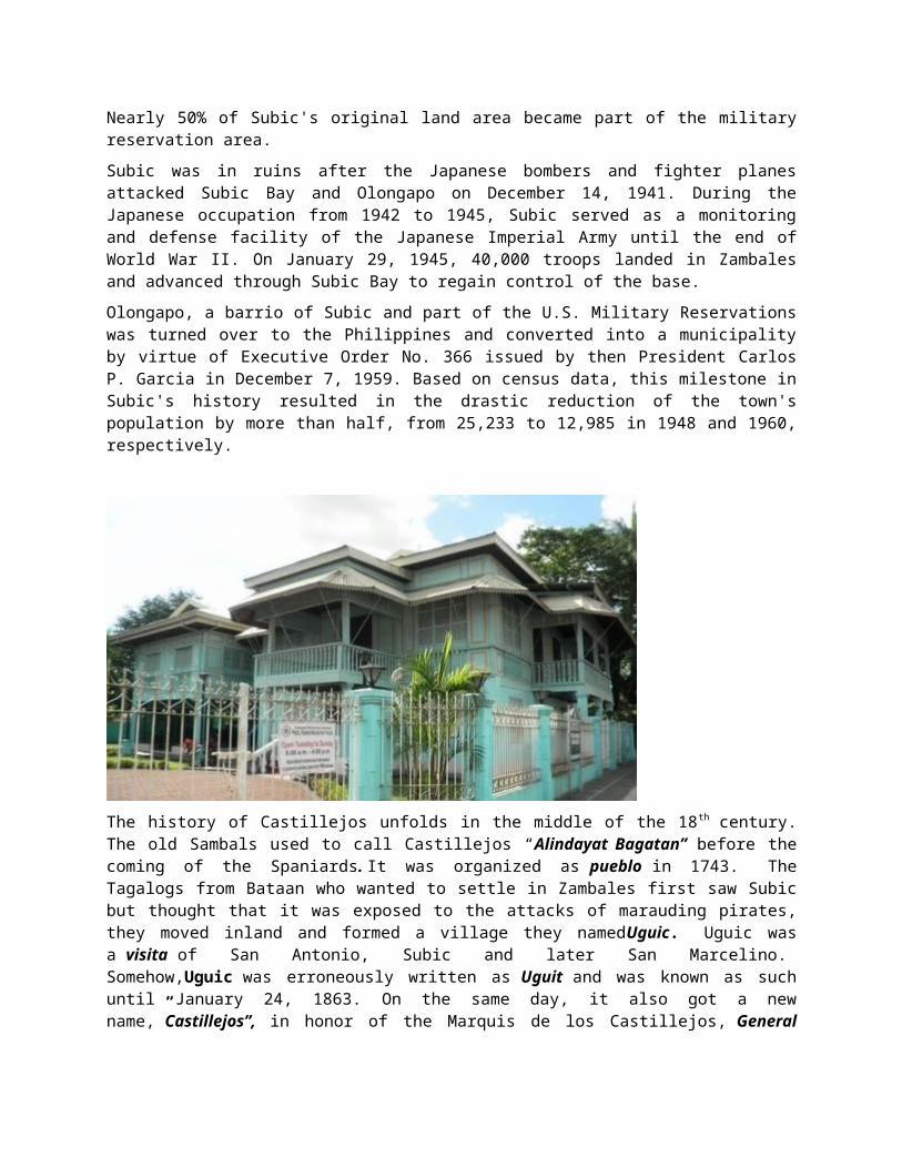
The history of Castillejos unfolds in the middle of the 18th century. The old Sambals used to call Castillejos “Alindayat Bagatan” before the coming of the Spaniards. It was organized as pueblo in 1743. The Tagalogs from Bataan who wanted to settle in Zambales first saw Subic but thought that it was exposed to the attacks of marauding pirates, they moved inland and formed a village they namedUguic. Uguic was a visita of San Antonio, Subic and later San Marcelino. Somehow,Uguic was erroneously written as Uguit and was known as such until January 24, 1863. On the same day, it also got a new name,”Castillejos”, in honor of the Marquis de los Castillejos, General Juan Prim Y Prats, “Hero of the battle of Castillejos” during the Spanish-Moroccan War.
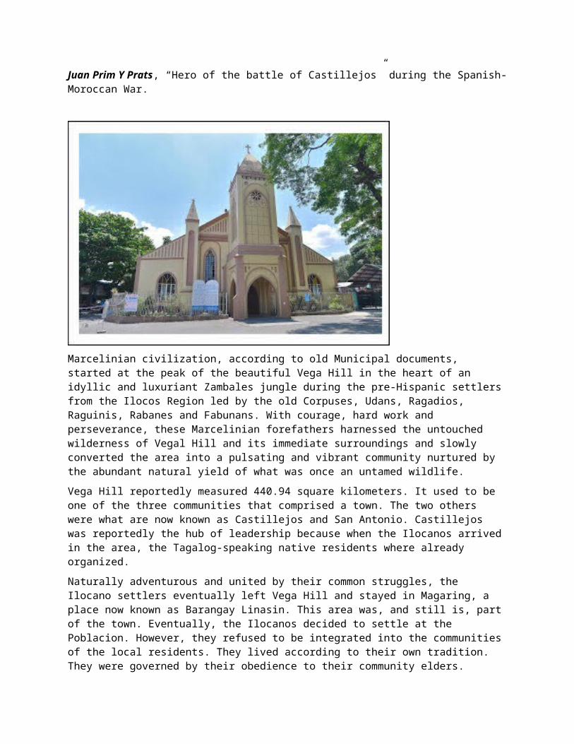
Marcelinian civilization, according to old Municipal documents, started at the peak of the beautiful Vega Hill in the heart of an idyllic and luxuriant Zambales jungle during the pre-Hispanic settlers from the Ilocos Region led by the old Corpuses, Udans, Ragadios, Raguinis, Rabanes and Fabunans. With courage, hard work and perseverance, these Marcelinian forefathers harnessed the untouched wilderness of Vegal Hill and its immediate surroundings and slowly converted the area into a pulsating and vibrant community nurtured by the abundant natural yield of what was once an untamed wildlife.
Vega Hill reportedly measured 440.94 square kilometers. It used to be one of the three communities that comprised a town. The two others were what are now known as Castillejos and San Antonio. Castillejos was reportedly the hub of leadership because when the Ilocanos arrived in the area, the Tagalog-speaking native residents where already organized.
Naturally adventurous and united by their common struggles, the Ilocano settlers eventually left Vega Hill and stayed in Magaring, a place now known as Barangay Linasin. This area was, and still is, part of the town. Eventually, the Ilocanos decided to settle at the Poblacion. However, they refused to be integrated into the communities of the local residents. They lived according to their own tradition. They were governed by their obedience to their community elders.
When the Spaniards came, a kind-hearted Spanish friar, Father Guillermo, stayed at the Poblacion with the Marcelinian forefathers. In the succeeding years, more Spanish friars came, strengthening the stronghold of Christianity among the Ilocano settlers. The need for formalizing a political/administrative structure of the town also became evident as the population increased and the socio-economic life of the town became complex. Consequently, a government structure was set up under the leadership of the friars whose power, at this point in time, had become entrenched, anchored on religion. The friars appointed local or district leaders, a cabeza de barangay for every barangay among which were Consuelo, Nagbunga and Sinnerrekan (now known as Linusungan). The number of barangays has expanded to 18 since then.
In the settlers' barangay of barrio, a middle-aged Teniente del Barrio, Marcelino Ora, was appointed. It was after him that the town was eventually named, long after he was gone. "San" was arbitrarily added to the name due to the people's religiosity. Domingo Magsaysay and Antonio Rolls later succeeded him.
When the barangay needed to choose a patron saint, the leaders chose the priest who Christianized the town, Father Guillermo. Ath the time the priest had already left San Marcelino, Like Marcelino Ora, the title of Saint was apparently just attachéd to his name.
It was after Marcelino Ora that the town was eventually named.
In 1843, the Marcelinians filed a petition for San Marcelino's elevation to a being a Pueblo through the Teniente Primero, Antonio Ladrido Juliano. In 1846, the petition was approved.
The elation over the appointment of a local leader did not last long. The Marcelinian elders became discontented over the fact that their appointed leaders turned out to be just nominal leaders. The friars still made the decision in relation to important matters. In addition, the friars reportedly became shockingly abusive.
In anger, many of the leaders and pockets of townspeople joined the insurrectos - rebel groups. In the forefront where Jorge Udan, Francisco Corpus and Alipio Corpus. Relenting to the demands of majority of the people, the friars later agreed to give the leaders bigger participation in running their respective districts.
On March 10, 1852 San Marcelino held its first municipal election for a Teniente Absoluto. At this point, historical records became confusing. The next account has dated January 14, 1906 when a Matias
Apostol was reportedly installed as the First Elected President of San Marcelino. From then on, the progressive development of San Marcelino continued under duly elected leaders.
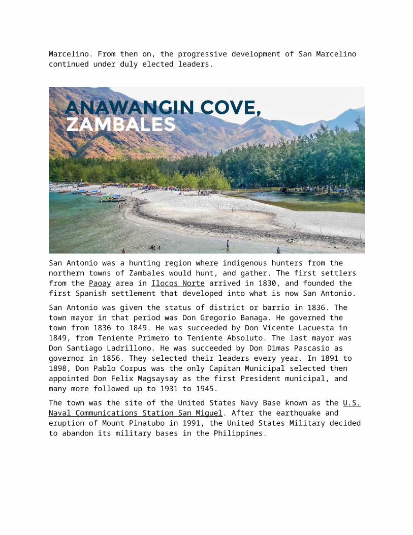
San Antonio was a hunting region where indigenous hunters from the northern towns of Zambales would hunt, and gather. The first settlers from the Paoay area in Ilocos Norte arrived in 1830, and founded the first Spanish settlement that developed into what is now San Antonio.
San Antonio was given the status of district or barrio in 1836. The town mayor in that period was Don Gregorio Banaga. He governed the town from 1836 to 1849. He was succeeded by Don Vicente Lacuesta in 1849, from Teniente Primero to Teniente Absoluto. The last mayor was Don Santiago Ladrillono. He was succeeded by Don Dimas Pascasio as governor in 1856. They selected their leaders every year. In 1891 to 1898, Don Pablo Corpus was the only Capitan Municipal selected then appointed Don Felix Magsaysay as the first President municipal, and many more followed up to 1931 to 1945.
The town was the site of the United States Navy Base known as the U.S. Naval Communications Station San Miguel. After the earthquake and eruption of Mount Pinatubo in 1991, the United States Military decided to abandon its military bases in the Philippines.
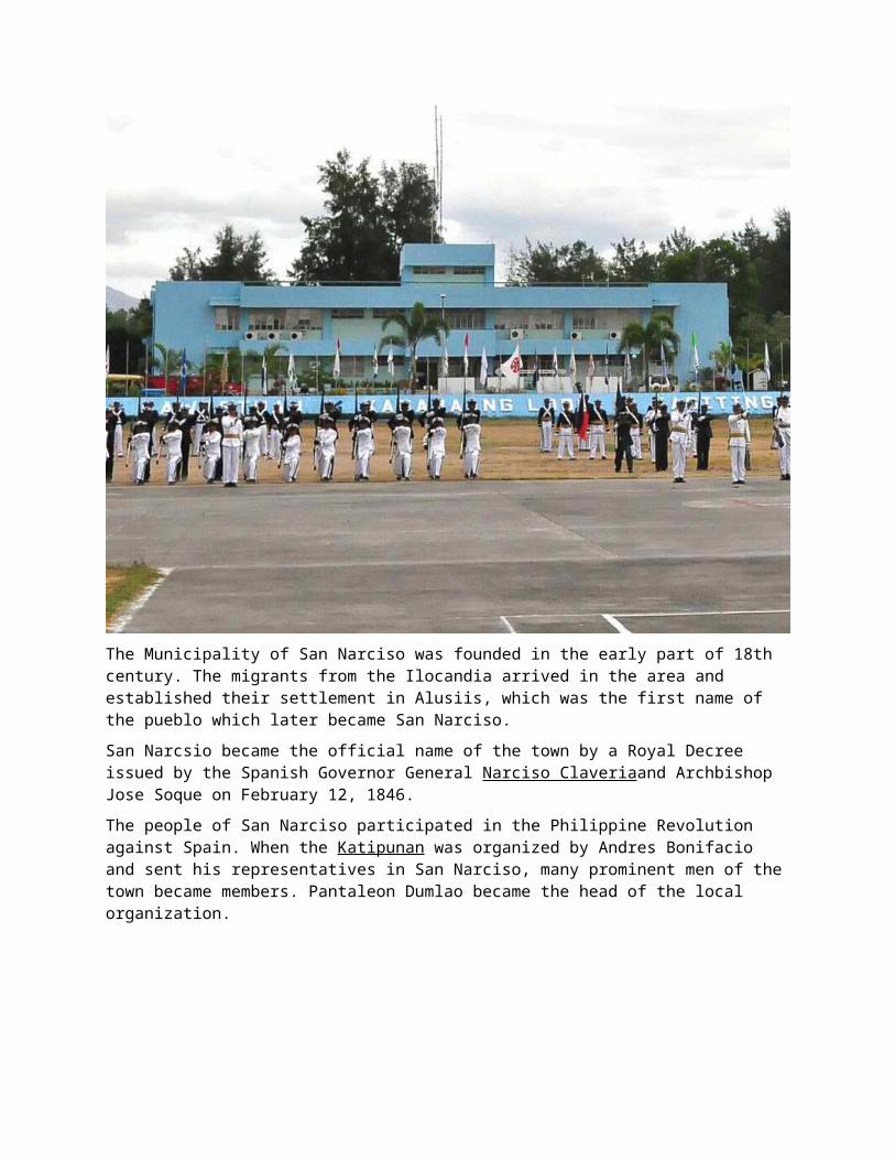
The Municipality of San Narciso was founded in the early part of 18th century. The migrants from the Ilocandia arrived in the area and established their settlement in Alusiis, which was the first name of the pueblo which later became San Narciso.
San Narcsio became the official name of the town by a Royal Decree issued by the Spanish Governor General Narciso Claveriaand Archbishop Jose Soque on February 12, 1846.
The people of San Narciso participated in the Philippine Revolution against Spain. When the Katipunan was organized by Andres Bonifacio and sent his representatives in San Narciso, many prominent men of the town became members. Pantaleon Dumlao became the head of the local organization.
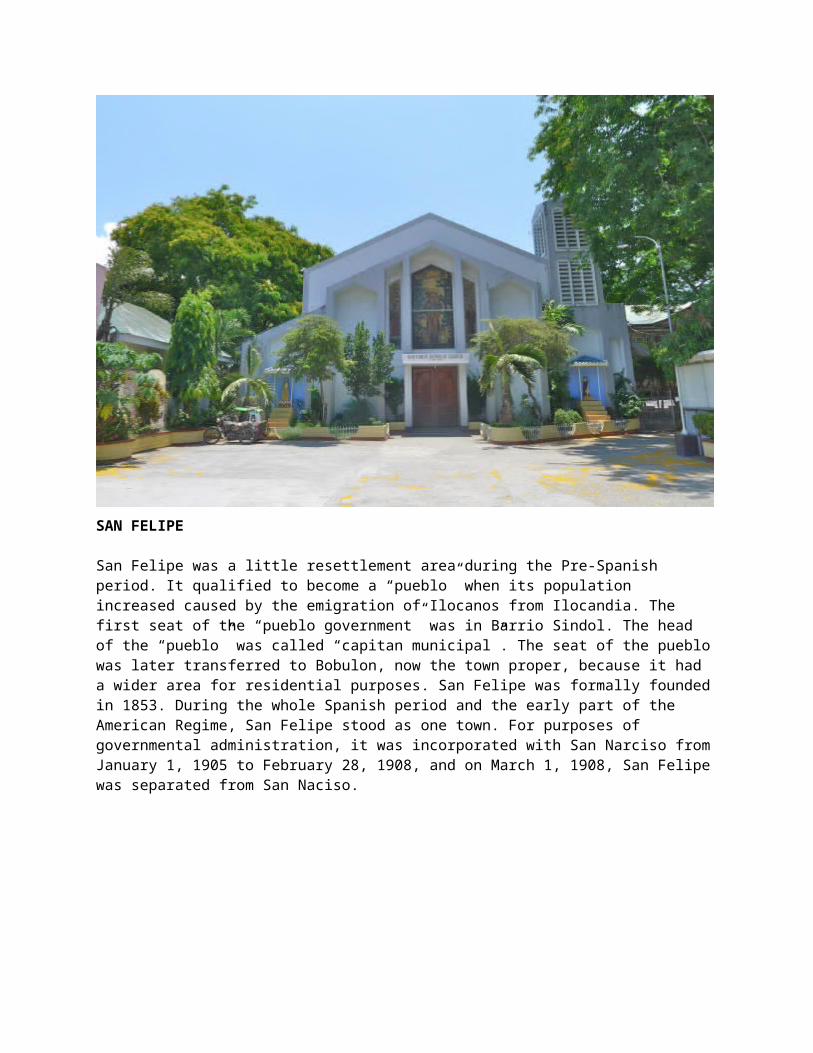
SAN FELIPE
San Felipe was a little resettlement area during the Pre-Spanish period. It qualified to become a “pueblo” when its population increased caused by the emigration of Ilocanos from Ilocandia. The first seat of the “pueblo government” was in Barrio Sindol. The head of the “pueblo” was called “capitan municipal”. The seat of the pueblo was later transferred to Bobulon, now the town proper, because it had a wider area for residential purposes. San Felipe was formally founded in 1853. During the whole Spanish period and the early part of the American Regime, San Felipe stood as one town. For purposes of governmental administration, it was incorporated with San Narciso from January 1, 1905 to February 28, 1908, and on March 1, 1908, San Felipe was separated from San Naciso.
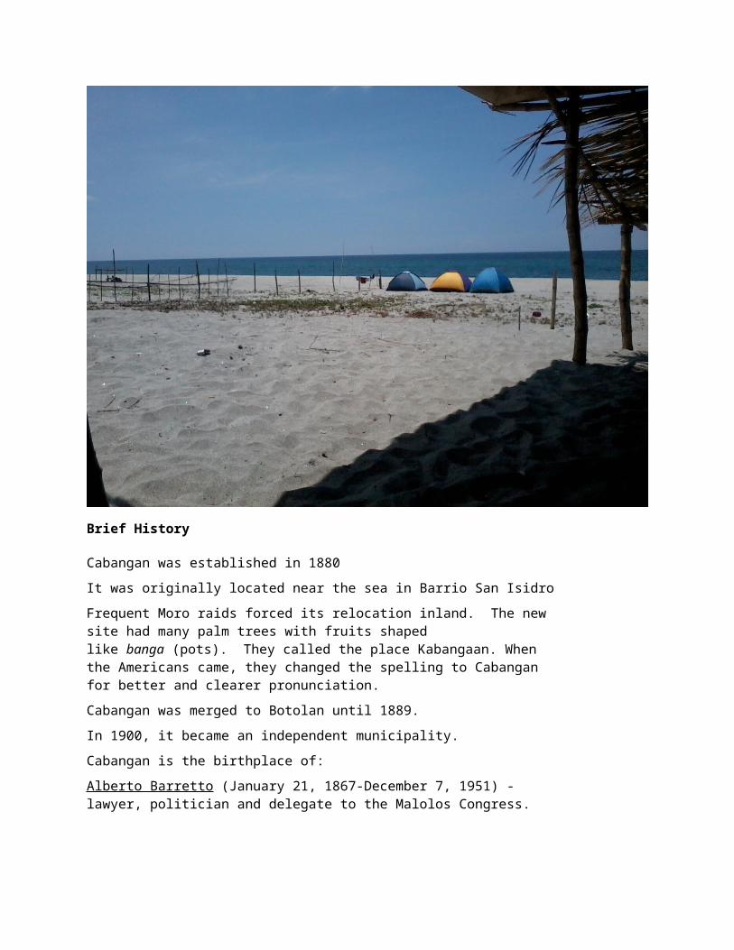
Brief History
Cabangan was established in 1880
It was originally located near the sea in Barrio San Isidro
Frequent Moro raids forced its relocation inland. The new site had many palm trees with fruits shaped like banga (pots). They called the place Kabangaan. When the Americans came, they changed the spelling to Cabangan for better and clearer pronunciation.
Cabangan was merged to Botolan until 1889.
In 1900, it became an independent municipality.
Cabangan is the birthplace of:
Alberto Barretto (January 21, 1867-December 7, 1951) - lawyer, politician and delegate to the Malolos Congress.
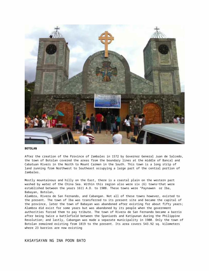
BOTOLAN
After the creation of the Province of Zambales in 1572 by Governor General Juan de Salcedo, the town of Botolan covered the areas from the boundary lines at the middle of Bancal and Cabatuan Rivers in the North to Mount Carmen in the South. This town is a long strip of land running from Northwest to Southeast occupying a large part of the central portion of Zambales.
Mostly mountainous and hilly on the East, there is a coastal plain on the western part washed by water of the China Sea. Within this region also were six (6) towns that were established between the years 1611 A.D. to 1908. These towns were “Paynawen” or Iba, Babayan, Botolan,Alambra, Rivera de San Fernando, and Cabangan. Not all of these towns however, existed to the present. The town of Iba was transferred to its present site and became the capital of the province, later the town of Babayan was abandoned after existing for about fifty years; Alambra did exist for some years but was abandoned by its people when the government authorities forced them to pay tribute. The town of Rivera de San Fernando became a barrio after being twice a battlefield between the Spaniards and Katipunan during the Philippine Revolution; and lastly, Cabangan was made a separate municipality in 1900. Only the town of Botolan remained existing from 1819 to the present. Its area covers 543.92 sq. kilometers where 23 barrios are now existing
KASAYSAYAN NG INA POON BATO
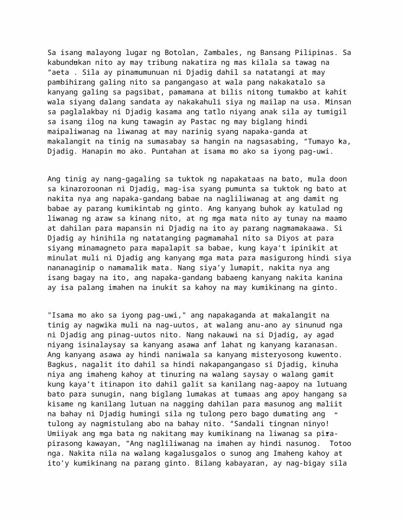
Sa isang malayong lugar ng Botolan, Zambales, ng Bansang Pilipinas. Sa kabundukan nito ay may tribung nakatira ng mas kilala sa tawag na “aeta”. Sila ay pinamumunuan ni Djadig dahil sa natatangi at may pambihirang galing nito sa pangangaso at wala pang nakakatalo sa kanyang galing sa pagsibat, pamamana at bilis nitong tumakbo at kahit wala siyang dalang sandata ay nakakahuli siya ng mailap na usa. Minsan sa paglalakbay ni Djadig kasama ang tatlo niyang anak sila ay tumigil sa isang ilog na kung tawagin ay Pastac ng may biglang hindi maipaliwanag na liwanag at may narinig syang napaka-ganda at
makalangit na tinig na sumasabay sa hangin na nagsasabing, “Tumayo ka, Djadig. Hanapin mo ako. Puntahan at isama mo ako sa iyong pag-uwi.”
Ang tinig ay nang-gagaling sa tuktok ng napakataas na bato, mula doon sa kinaroroonan ni Djadig, mag-isa syang pumunta sa tuktok ng bato at nakita nya ang napaka-gandang babae na nagliliwanag at ang damit ng babae ay parang kumikintab ng ginto. Ang kanyang buhok ay katulad ng liwanag ng araw sa kinang nito, at ng mga mata nito ay tunay na maamo at dahilan para mapansin ni Djadig na ito ay parang nagmamakaawa. Si Djadig ay hinihila ng natatanging pagmamahal nito sa Diyos at para siyang minamagneto para mapalapit sa babae, kung kaya’t ipinikit at minulat muli ni Djadig ang kanyang mga mata para masigurong hindi siya nananaginip o namamalik mata. Nang siya’y lumapit, nakita nya ang isang bagay na ito, ang napaka-gandang babaeng kanyang nakita kanina ay isa palang imahen na inukit sa kahoy na may kumikinang na ginto.
"Isama mo ako sa iyong pag-uwi," ang napakaganda at makalangit na tinig ay nagwika muli na nag-uutos, at walang anu-ano ay sinunud nga ni Djadig ang pinag-uutos nito. Nang nakauwi na si Djadig, ay agad niyang isinalaysay sa kanyang asawa anf lahat ng kanyang karanasan. Ang kanyang asawa ay hindi naniwala sa kanyang misteryosong kuwento. Bagkus, nagalit ito dahil sa hindi nakapangangaso si Djadig, kinuha niya ang imaheng kahoy at tinuring na walang saysay o walang gamit kung kaya’t itinapon ito dahil galit sa kanilang nag-aapoy na lutuang bato para sunugin, nang biglang lumakas at tumaas ang apoy hangang sa kisame ng kanilang lutuan na nagging dahilan para masunog ang maliit na bahay ni Djadig humingi sila ng tulong pero bago dumating ang tulong ay nagmistulang abo na bahay nito. “Sandali tingnan ninyo!” Umiiyak ang mga bata ng nakitang may kumikinang na liwanag sa pira-pirasong kawayan, “Ang nagliliwanag na imahen ay hindi nasunog.” Totoo nga. Nakita nila na walang kagalusgalos o sunog ang Imaheng kahoy at ito’y kumikinang na parang ginto. Bilang kabayaran, ay nag-bigay sila ng galang, respeto at mataas na papuri’t pagmamahal sa Imahen. Ang mga aeta o negrito ay ibinalik ang Sagradong Imahen kung saan ito natagpuan at na diskubre ni Djadig.
Maraming taon ang nag-daan, at ang unang mga taga Europa ay tumuntong sa lupa ng Pilipinas. Nang sakupin nila ang Pilipinas, ipinakilala ng mga ito ang kristianismo, ngunit sila ay nabigla ng ipakita ng mga eta o mga negrito ang Imahen ng Birhen Maria, sila ay natuwa at nagbigay ng malaking parangal sa nakita nilang replika ng sarili nilang patrona ang babaing kanilang tagapag-adya, ang “Ina Poon Bato”.
Ang Barrio ng Ina Poon Bato na kung saan nagsimula ang pamimintuho ng mga katutubo sa Mahal na Ina ay nasira mula noong magsimulang sumabog ang Bulkang Pinatubo. Ang Imahen ay nailigtas at ito ay idinambana at matatagpuan sa Bunga, Botolan, Zambales na kung saan ay ipinagdiriwang ang kanyang kapistahan.
Sa ngayon ang Apostolic Catholic Church ay pinipintakasi ang Mahal na INA POON BATO at itinuturing at tinanghal na patrona ng Simbahan na matatagpuan sa EDSA Proj. 7 Quezon City.
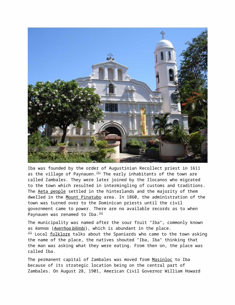
Iba was founded by the order of Augustinian Recollect priest in 1611 as the village of Paynauen. [5] The early inhabitants of the town are called Zambales. They were later joined by the Ilocanos who migrated to the town which resulted in intermingling of customs and traditions. The Aeta people settled in the hinterlands and the majority of them dwelled in the Mount Pinatubo area. In 1860, the administration of the town was turned over to the Dominican priests until the civil government came to power. There are no available records as to when Paynauen was renamed to Iba.[5]
The municipality was named after the sour fruit "Iba", commonly known as kamias (Averrhoa bilimbi), which is abundant in the place.[5] Local folklore talks about the Spaniards who came to the town asking the name of the place, the natives shouted "Iba, Iba" thinking that the man was asking what they were eating. From then on, the place was called Iba.
The permanent capital of Zambales was moved from Masinloc to Iba because of its strategic location being on the central part of Zambales. On August 28, 1901, American Civil Governor William Howard Taft held the historic session of the second Philippine Commission establishing the Province of Zambales under the American rule held at Roman Catholic Church of Iba.
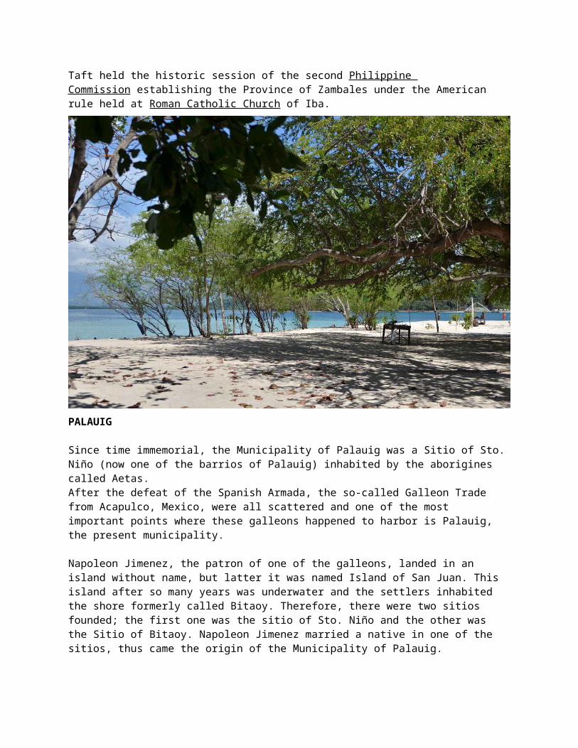
PALAUIG
Since time immemorial, the Municipality of Palauig was a Sitio of Sto. Niño (now one of the barrios of Palauig) inhabited by the aborigines called Aetas. After the defeat of the Spanish Armada, the so-called Galleon Trade from Acapulco, Mexico, were all scattered and one of the most important points where these galleons happened to harbor is Palauig, the present municipality.
Napoleon Jimenez, the patron of one of the galleons, landed in an island without name, but latter it was named Island of San Juan. This island after so many years was underwater and the settlers inhabited the shore formerly called Bitaoy. Therefore, there were two sitios founded; the first one was the sitio of Sto. Niño and the other was the Sitio of Bitaoy. Napoleon Jimenez married a native in one of the sitios, thus came the origin of the Municipality of Palauig.
These sitios expanded to many other sitios and became the barrio of Sto. Niño which was latter taken under the jurisdiction of the Municipality of Masinloc. Napoleon Jimenez, being the head of this barrio, was able to transfer this barrio under the Municipality of Iba. In 1913, under Municipal President Marcelino Gregorio, became almost the ruler of this Municipality until the present time.
The town of Palauig was ruled the Spanish Kingdom for almost 400 years as a colony of Spain. In 1896, the Spanish Government was defeated by the Katipunero under Andres Bonifacio. They established a Philippine Republic under the presidency of Emilio Aguinaldo, but due to the intervention of the American-Cuban War, the Americans who happened to anchor in Manila Bay under Commodore Dewey, took advantage of the Philippine Army under General Juan Luna. We fell under the regime of Americans
for more than 60 years. The intervention of the 2nd World War lead to the Japanese occupation for a period of 4 years. Then we returned back to the American Commonwealth and was granted our independence on July 4, 1946, under the Hare Hawes Cutting Bill.
Palauig was located between Iba in the South and Masinloc in the North. The climate is temperate. At present, there are 18 barrios of this municipality and more than 20 sitios. The dialects spoken are Zambal, followed by Ilocano for settlers from the Ilocos Region and Tagalogs for those who came from Bulacan, Cavite and Batangas. The land area of Palauig is 30,590 hectares.
The inhabitants of Palauig were Aglipay and Catholic in Religion, followed by Iglesia Ni Cristo, 7th day of Adventist, Methodist and Jehova’s Witnesses. The date of the celebration of the town fiesta is April 11 to 12 but was moved to April 14 to 15, with the approval of the Municipal Council thru a resolution passed and approved. April 12 is memorable because robbers entered Palauig coming from Iba Provincial Jail in broad daylight.
Religious town fiesta is also celebrated on September 10, in honor of its Patron Saint to Nicolas. Among the most prominent social activities was before the town fiesta. A pacification campaign, in connection with the peace and order condition, was being conducted by different religious organizations. Each religious organization appointed their own representative and went as a group to all barrios explaining the verses on the Bible to all interested listeners.
Candelaria
This group of settlers found that this place is an ideal location. They had a foresight that this place would play an important role in the political life of its inhabitants. The same group of settlers, who were very influential, were the ones who supported this sitio in becoming a town. The year 1870 is a remarkable event in this place, when this sitio got its approval to become a town. It became the municipality of Candelaria. The beautiful name of the town Candelaria came from the name of the charming wife of the first Alcalde Mayor. It was requested as a bestowal on her birthday anniversary.
There was also a story that the Spanish first saw many candles in this place Candle-Area, a place of many candles. As the years passed, it was customarily called CANDELARIA.
Candelaria is the second nethermost town in Zambales. It is approximately 42 kilometers from the capital town of Iba. It is nestled at the foot of Zambales Range in the East and lies along coastline of the South China Sea in the west with a total land area of 43,760 hectares.Candelaria is the third largest town in terms of land area in the entire Province of Zambales. It has been said that during the pre-Spanish time, Candelaria was only a forest and unsettled by the people. It was then a sitio of Masinloc, one of the oldest town of Zambales during that time. The coming of a group of Zambal settlers from the mother town of Masinloc have played an important role on how this sitio became a town.
MASINLOC
Masinloc was among the native settlements visited by Juan de Salcedo in his Exploration of Zambales in San Andres in the barrio of Bani. Thirty-five years later, the town was founded on the southern mouth of the river across the bay from island of Salvia or San Salvador. However, the first convent was built on the eastern shore of Salvia, while the first town site, now covered by the sea, was just in front of the stone church. Actually, the town is now behind the church and is now behind the church and is growing in land across the river towards Collat, Lipay and Baloganon on the North.
The name Masinloc came from Majinloc, meaning a place where the jinloc, grows in abundance. Whether a tree, shrub, vine or what-not, the identity of the jinloc seems now lost to us, but there still exists a sitio near the town on the river bank which is called cajinlocaqan, that is full of jinloc. Organized in 1607, the first town in the province of Zambales, Masinloc has come to play an important role in every phase of municipal development. It was the first capital of the extensive Province of Zambales that extended from Cape Bolinao to Olongapo, until Sta. Cruz, and later, Iba took his honor from her.
In the course of time, Masinloc, gave birth to two other municipalities, Palauig and Candelaria, when in the first case seventeen families from Masinloc migrated to and founded Palauig, and in the later, the important barrio of San Vicente, in 1870, was given its decree of independence and made a separate municipality under the new appellation of Candelaria. A little later, Candelaria was reincorporated to Masinloc until 1905, when it finally maintained a separate existence up to now. The ancestors of the Eliazos, Valverdes, Garcias, Lesacas, Medinas and others, of Santa Cruz, Botolan, and Iba, all came from Masinloc.
The present claim to fame by this small town is based on the huge deposits of chromite in its mountains. A mining company, BCI-Coto in Masinloc now operating a property used to export monthly an average of 1-1/2 million pesos worth of chromite ore, mined from what is known to be the biggest deposit of refractory ore in the world. On account of the bigger volume of shipping done here, as compared to that handled at San Fernando, La Union, Masinloc was declared a port of entry