leica zeno field office ds en
TRANSCRIPT
8/8/2019 Leica Zeno Field Office DS En
http://slidepdf.com/reader/full/leica-zeno-field-office-ds-en 1/2
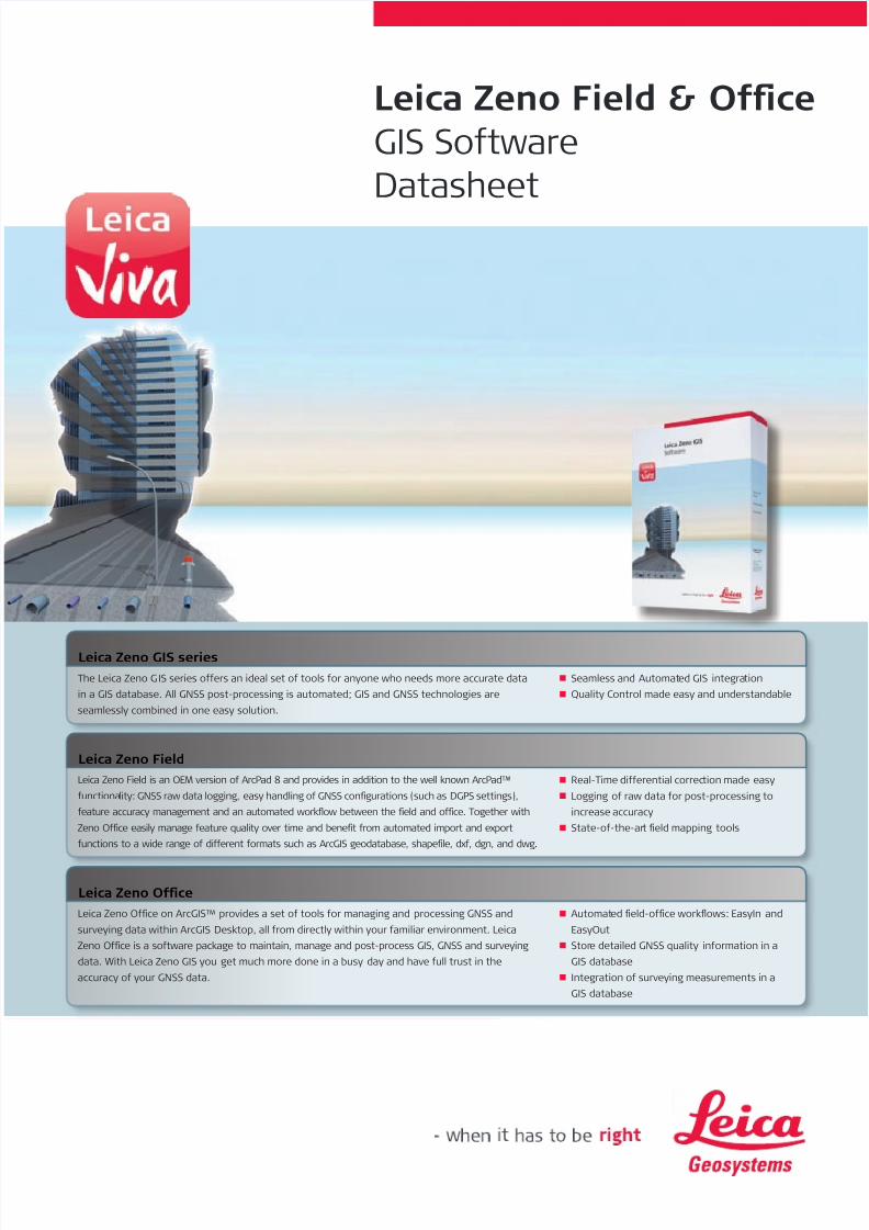
Leica Zeno Field & Oce
GIS SotwareDatasheet
The Leica Zeno GIS series oers an ideal set o tools or anyone who needs more accurate data
in a GIS database. All GNSS post-processing is automated; GIS and GNSS technologies are
seamlessly combined in one easy solution.
Seamless and Automated GIS integrationn
Quality Control made easy and understandablen
Leica Zeno GIS series
Leica Zeno Oce on ArcGIS™ provides a set o tools or managing and processing GNSS and
surveying data within ArcGIS Desktop, all rom directly within your amiliar environment. Leica
Zeno Oce is a sotware package to maintain, manage and post-process GIS, GNSS and surveying
data. With Leica Zeno GIS you get much more done in a busy day and have ull trust in the
accuracy o your GNSS data.
Automated eld-oce workfows: EasyIn andn
EasyOut
Store detailed GNSS quality inormation in an
GIS database
Integration o surveying measurements in an
GIS database
Leica Zeno Oce
Real-Time dierential correction made easyn
Logging o raw data or post-processing ton
increase accuracy
State-o-the-art eld mapping toolsn
Leica Zeno Field
Leica Zeno Field is an OEM version o ArcPad 8 and provides in addition to the well known ArcPad™
unctionality: GNSS raw data logging, easy handling o GNSS congurations (such as DGPS settings),
eature accuracy management and an automated workfow between the eld and oce. Together with
Zeno Oce easily manage eature quality over time and benet rom automated import and export
unctions to a wide range o dierent ormats such as ArcGIS geodatabase, shapele, dx, dgn, and dwg.

8/8/2019 Leica Zeno Field Office DS En
http://slidepdf.com/reader/full/leica-zeno-field-office-ds-en 2/2
GIS Integration
Leica Zeno Oce seamlessly integrates GIS, GNSS and surveying data together with eature quality inormation
Import, view, edit and post-process GNSS data inside Leica Zeno Oce or Leica Zeno Oce on ArcGIS1
– an ArcGIS Desktop extension
Easy eature position verication and update to the most accurate location
Seamless Import/Export o Leica Geosystems surveying ormat and direct connection to Leica Geosystems surveying equipment within the GIS environmentExtend and customize with ArcObjects
Supported Data ormats: Leica MobileMatriX geodatabase, ArcGIS personal and multi-user geodatabase (SQL Server and SQL Express), shapele, AutoCAD DWG, DXF, Microstation dgn, and ax lesor ArcPad
Workfow
Fully optimized or the easiest and most productive eld to oce workfow:– EasyOut manages the process (copy-out or check-out) to bring eature and raster data, and quality inormation into Zeno Field– EasyIn is a unique check-in procedure that automatically post-processes GNSS data while downloading eature and GNSS data directly rom the device. EasyIn workfow ensures maximum
productivity and ease-o-use by eliminating GNSS post-processing outside the GIS or by running several dierent wizards to post-process GNSS data and import eature data
EasyIn and EasyOut are available as wizards or as geoprocessing tools or automated workfows. For example, a simple one-click model can import eature and raw data, post-process, update eaturevertices and export to CAD
GNSS Integration
Work with GNSS data directly in your geodatabase
Achieve rom submeter to decimeter accuracy ater post-processing2
Uses the best post-processing algorithms in the market to get best post-processed results or optimal GNSS accuracy2
Store detailed inormation about the quality o GNSS data with each observed point
Supported Base Station les: Rinex, Hatanaka (compressed RINEX), Leica Geosystems raw-data ormat
System Requirements
Platorm: PC-Intel
Operating System: Windows Vista, Windows 2000, or Windows XP
Memory: minimum 1 GB RAM, 2 GB recommended
Processor: 1.6 GHz or higher
2.4 GB ree disk space or Zeno Oce or 200 MB or Zeno Oce on ArcGIS
DVD Rom or installation
Versions
Technical Specications
Leica Geosystems AGHeerbrugg, Switzerland
www.leica-geosystems.com
Illustrations, descriptions and technical data are not binding. All rights reserved. Printed in Switzerland –Copyright Leica Geosystems AG, Heerbrugg, Switzerland, 2009. 774234en – IX.09 – RDV
Leica Zeno Oce
Leica Zeno FieldFeatures and Options
Leica Zeno Field utilizes an OEM version o ArcPad 8
Easily collect position, quality, eature, image and attribute data
Direct access to eature quality inormation and already mapped vertices to avoid re-measurements
GNSS integration
Simplest GNSS & real-time conguration, ully integrated in ArcPad, based on wizards to setup: SBAS, Radio (such as Beacon), dial-up and internet real-time services
Easy to understand Status bar with GNSS, real-time, accuracy and raw data logging inormation, including display o actual and estimated post-processed accuracy
Support o raw data logging and real-time dierential corrections to improve position accuracy
Integrated real-time: SBAS (WAAS, EGNOS, MSAS, GAGAN)3
Supported real-time ormats: RTCM 2.x, RTCM 3.0, CMR, CMR+
Real-time horizontal accuracy: SBAS <1.2 m, DGPS <0.4 m2
Supported Devices
Rugged GIS handhelds and eld controllers: Leica Zeno 10 and 15, Leica CS10 and CS15
Digital camera integrated in Leica Zeno 10 and 15
Laser rangender as supported in ArcPad 8
1
Leica Zeno Oce on ArcGIS requires ArcGIS (ArcView, ArcEditor or ArcIno) 9.3 or later and supports ArcSDE2The accuracy depends on observation time, satellite constellation, number o tracked satellites, elevation mask, ionospheric disturbances,
multipath signals and proximity to base station, used antenna, etc.3WAAS available in North America only, EGNOS available in Europe only, GAGAN available in India only, and MSAS available in Japan only.
Total Quality Management –our commitment to totalcustomer satisaction.
ESRI word mark is ownedby ESRI Inc, USA.
Other trademarks and tradenames are those o theirrespective owners.
ArcGIS™ is a registeredtrademark o Environmen-tal System ResearchInstitute Inc. Redlands,
USA.
L1 Post-Processing L1 / L2 Post-Processing TPS Processing Level Processing Survey Data Synchronization
Basic ¢ ¢ ¢
Advanced l ¢ ¢ ¢
Proessional l ¢ ¢ ¢
Windows is a registeredtrademark o MicrosotCorporation in the UnitedStates and / or othercountries.
l = Standard
¢ = Optional