mirr general flyer
TRANSCRIPT
Steering and technical committee members (includingrepresentatives from NAVSTA Newport, Naval War College,Naval Undersea Warfare Center, the three municipalities, andstate agencies) initiate identification of assets and guide thedirection of the project.Data Call and a Data Retention/Sharing Protocol drafted andprepared for steering committee approval.Scenarios reflecting one, three, and five feet of sea level riseand two plausible high-impact storms selected for analysis andmodeling via 3-D visualizations of focus areas.
Recent MilestonesConduct initial site visits andbegin collecting data.Conduct backgroundresearch and draft anintroduction and chapters 1-3 of the final report.Design a decision-makergaming workshop for fall2021.
Up Next
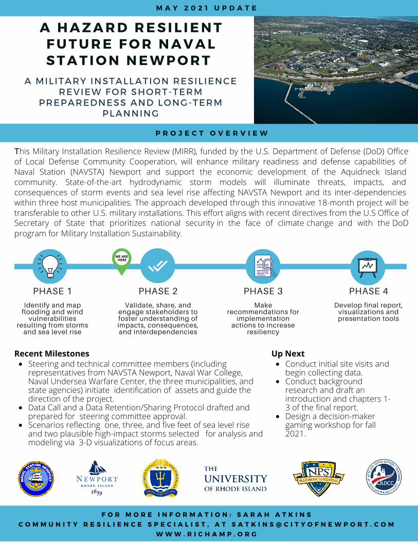
A H A Z A R D R E S I L I E N TF U T U R E F O R N A V A LS T A T I O N N E W P O R T
A MILITARY INSTALLATION RESILIENCEREVIEW FOR SHORT-TERM
PREPAREDNESS AND LONG-TERMPLANNING
F O R M O R E I N F O R M A T I O N : S A R A H A T K I N SC O M M U N I T Y R E S I L I E N C E S P E C I A L I S T , A T S A T K I N S @ C I T Y O F N E W P O R T . C O M
W W W . R I C H A M P . O R G
P R O J E C T O V E R V I E W
This Military Installation Resilience Review (MIRR), funded by the U.S. Department of Defense (DoD) Office of Local Defense Community Cooperation, will enhance military readiness and defense capabilities of Naval Station (NAVSTA) Newport and support the economic development of the Aquidneck Island community. State-of-the-art hydrodynamic storm models will illuminate threats, impacts, and consequences of storm events and sea level rise affecting NAVSTA Newport and its inter-dependencies within three host municipalities. The approach developed through this innovative 18-month project will be transferable to other U.S. military installations. This effort aligns with recent directives from the U.S Office of Secretary of State that prioritizes national security in the face of climate change and with the DoD program for Military Installation Sustainability.
Identify and mapflooding and wind
vulnerabilitiesresulting from stormsand sea level rise
PHASE 1
Validate, share, andengage stakeholders tofoster understanding ofimpacts, consequences,and interdependencies
PHASE 2
Makerecommendations for
implementationactions to increase
resiliency
PHASE 3
Develop final report,visualizations andpresentation tools
PHASE 4
M A Y 2 0 2 1 U P D A T E
WE ARE HERE