mission and system characteristics of the european...
TRANSCRIPT

Mission and System Characteristics of the European Radar Observatory
(Sentinel-1)
Evert AttemaEuropean Space Agency

Outline
• Mission Objectives & Requirements
• System Requirements & Technical
Concept
• Conclusions
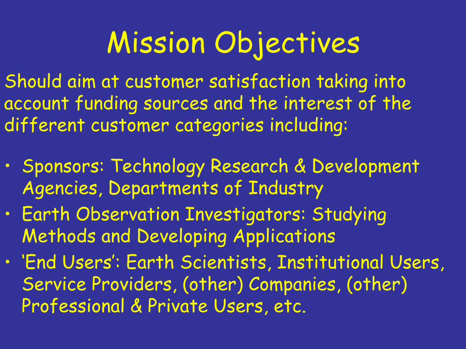
Mission ObjectivesShould aim at customer satisfaction taking into account funding sources and the interest of the different customer categories including:
• Sponsors: Technology Research & Development Agencies, Departments of Industry
• Earth Observation Investigators: Studying Methods and Developing Applications
• ‘End Users’: Earth Scientists, Institutional Users, Service Providers, (other) Companies, (other) Professional & Private Users, etc.

Dialog with CustomersSponsor

Technology Research & Development
• Innovation • Spin-Off• Economic Development• Employment• (Geographical) Return• ….and other Benefits to Mankind

Earth Observation Research
• Study radar signature of the Earth• Establish application potential for
– Earth sciences– Operational services
• Need best possible sensitivity, temporal & spatial resolution, image quality
• Request multi-parameter space: different wavelengths, (full) polarimetry, interferometry

‘End’ Users• Immense but dispersed community• Have sometimes not (yet) identified
themselves as SAR users• Do not always understand SAR-speak:
wavelength, dB, speckle, signal-to-noise ratio• May need geo-referenced information
(images) here and now• Want information at minimum cost• Priorities not always compatible with SAR
potential

End User Requirements
• Access to Information – Coverage– Revisit Rate– Timeliness– Continuity
• Information Content and Quality– Choice of Wavelength
(P, L, S, C, X, other, multi-band?)– Sensitivity & Accuracy– Spatial & Radiometric Resolution– Repeat Observation – Polarimetry– Interferometry

Programme Context
• Component of GMES EU & ESA‘s Global Monitoring for Environment and Security Programme
• European Radar Observatory (Sentinel-1) a Polar Orbiting Satellite System
• Continuation of Operational Applications of SAR
• Currently in its Requirement Definition Phase

Origin of Mission RequirementsFollowing Programmatic Priorities and GMES Pilot Services Aiming at– Monitoring the European Marine Environment– Monitoring the Arctic Environment and Sea-Ice Zones– Monitoring and Assessing Land Surface-Motion Risks– Open Ocean Surveillance– Forest Monitoring– Water Management and Soil Protection– Forest Fire and Flood Management– Food Security & Crop Monitoring– Global Mapping for the Humanitarian Community

© ESA 2003
Dover
Ostende
Calais
ASAR Wide Swath22 November 2003
Monitoring the European Marine Environment
Daily surveillance of marine transport corridors with information delivery within one hour of observation

Arctic Environment and Sea-Ice
Daily Monitoring of Ice-infested Areas Along the Major Transport Routes

Land Surface-Motion Risks2-Weekly measurements of subsidence over all major urban areas and surveillance of transport infrastructure (e.g. gas pipelines).
Bay of Naples, Italy

Open Ocean SurveillanceWind & Wave Product (ASAR)

Forest Monitoring
Annual Global Map forClimatic Change Detection
Sustainable Management Nature Protection .

Water Management and Soil ProtectionMonthly Global Mapping of Environmental State to Support inter alia the European Union ‘s Thematic Strategy on Soil Protection
Surface Soil Moisture derived from Envisat ASAR (Southern Germany)

Forest Fire and Flood Management
Monthly Global Coverage for Mapping of Burnt Areas and for Flood Risk Analysis. Fast Global On-demand Access for Real-time Awareness Services for Floods.

Food Security & Crop MonitoringRice Mapping in China, Hongze Area using single date HH/VV Envisat ASAR Data
From: Thuy LeToan & Tan Bingxiang, DRAGON Project

Global Mapping for the Humanitarian Community
Needs Fast Global On-demand Access

Mission Requirements
• Continuity: At least 10 years of service• Performance and Data Quality: ERS/Envisat • Operations: Systematic with On Demand
Option• Processing and Archiving: All products to
level-1• Distribution: from Archive/Near Real Time• Coverage & Revisit: Global Monthly, Fast
Global Access on Demand, Regional bi-weekly, Regional Daily (12 hourly desirable)
• Timeliness: 3 hours (1 hour desirable for special cases)

Mission Requirements, cont.• Centre Frequency: C-Band 5405 MHz• Interferometry: yes, service dependent• Spatial and Radiometrical Resolution:
ERS/Envisat baseline • Swath Width: Minimum 200-300 km,
larger desirable, 20 x 20 km for Wave Mode
• Polarisation: VV (Wind, Waves and Oil Spills), HV or VH (ship detection), VV or HH, VV and HH (desirable), VV and VH or HH and HV, Full Polarimetry (best for classification)

1. Stripmap Mode (SM)Stripmap mode, dual polarisation, medium size swath, high radiometric performance, very high spatial resolution
2. Interferometric Wideswath Mode (IW)ScanSAR mode, dual polarisation, large size swath, high spatial resolution, burst synchronisation for ScanSAR interferometry
3. Extra-wide Swath Mode (EW)ScanSAR mode, dual polarisation, very large size swath, low spatial resolution
4. Wave (WV)Sampled stripmap mode, single polarisation, low data rate
Technical ConceptA Two-Satellite Constellation with Four Nominal Operational Modes Designed for Inter-Operability with other Systems for Full Compliance with User Requirements.

System Requirements• Orbit Near-Polar Sun-Synchronous• Mean Local Solar Time at Ascending Node
18:00 hours • Repeat Cycle 12 days• Cycle Length 175 orbits• Swath Width
80 km (SM), 240 km (IW), 400 km (EW), 20 km x 20 km (WV).

System Requirements, cont.• Polarisation
VV+VH or HH+HV (all modes)• Spatial Resolution (Ground Range x
Azimuth)4 x 5 m, single look (SM), 5 x 20 m single look (IW), 25 x 80 m 3-looks (EW), 20 x 5 single look (WV).
• Noise Equivalent σ˚ -25 dB• Radiometric Stability 0.5 dB• Radiometric Accuracy 1.0 dB

ConclusionThe Sentinel-1 mission is being designed to satisfy its user requirements in terms of data availability, coverage & revisit, timeliness and the quality of its data products.
While its technical requirements are subject of a running consolidation study it appears difficult fully satisfying coverage and revisit requirements even with a two satellite constellation. Therefore (further) international collaboration will be required.