nearshore research inventory project · an inventory and a spatial map of the current and future...
TRANSCRIPT

Nearshore Research Inventory Project
Andy Lanier, Department of Land Conservation and DevelopmentKate Sherman, College of Oceanic Atmospheric Science, Oregon State UniversityTanya Haddad, Department of Land Conservation and Development
Coastal Management Program Oregon Department of Land Conservation and Development,
http://www.oregon.gov/LCD/OCMP/CstZone_Intro.shtml

Nearshore Research Inventory Project
Purpose: to show the geographic scope of research in the nearshore environment off the coast of Oregon.
Incorporate collected information into the marine spatial planning process in Oregon.
Goal: an inventory and a spatial map of the current and future use of Oregon’s nearshore environment by the research community.
Side Benefit: Outreach to the research community regarding the current Territorial Sea Plan Amendment Process.
Methods
• Developed a contact list and survey questions.
• Conducted Informational Interviews.
• Compiled internet based resources.
• Developed an online data entry tool.
• Approved by Institutional Review Board (OSU).
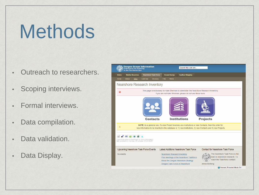
Methods
• Outreach to researchers.
• Scoping interviews.
• Formal interviews.
• Data compilation.
• Data validation.
• Data Display.

Interview ProcessInterview Guide
• Project Background and Information.
• Data Information.
• Research Timeline.
• Future Planned Research or Data Use.
• Contact Information (PI, Data Manager).
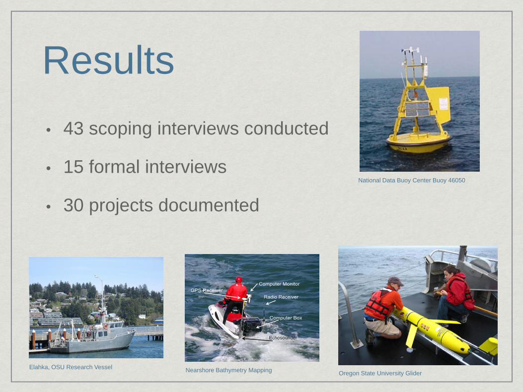
Results• 43 scoping interviews conducted
• 15 formal interviews
• 30 projects documentedNational Data Buoy Center Buoy 46050
Oregon State University GliderElahka, OSU Research Vessel Nearshore Bathymetry Mapping

Definitions• Nearshore (shoreline up to
the shelf break)
• Point (buoy)
• Station (CTD cast)
• Line (Newport Line )
• Transect (gliders)CTD Cast

Results
The information products include:
• A Project Report
• Geospatial data (GIS, Google Earth KML, MarineMap)
• Online Database entry tool
• Access Database

Results – By the numbersPermanent Research Platforms
• 41 buoys / land stations
• 12 cables
• 5 glider lines
Research Stations
• 281 shore sampling stations
• 253 nearshore bathymetric transects
• 116 nearshore sampling stations
• 41 transect lines
• 12 intertidal sampling stations
• 12 cruise sampling lines
• 1 AUV area
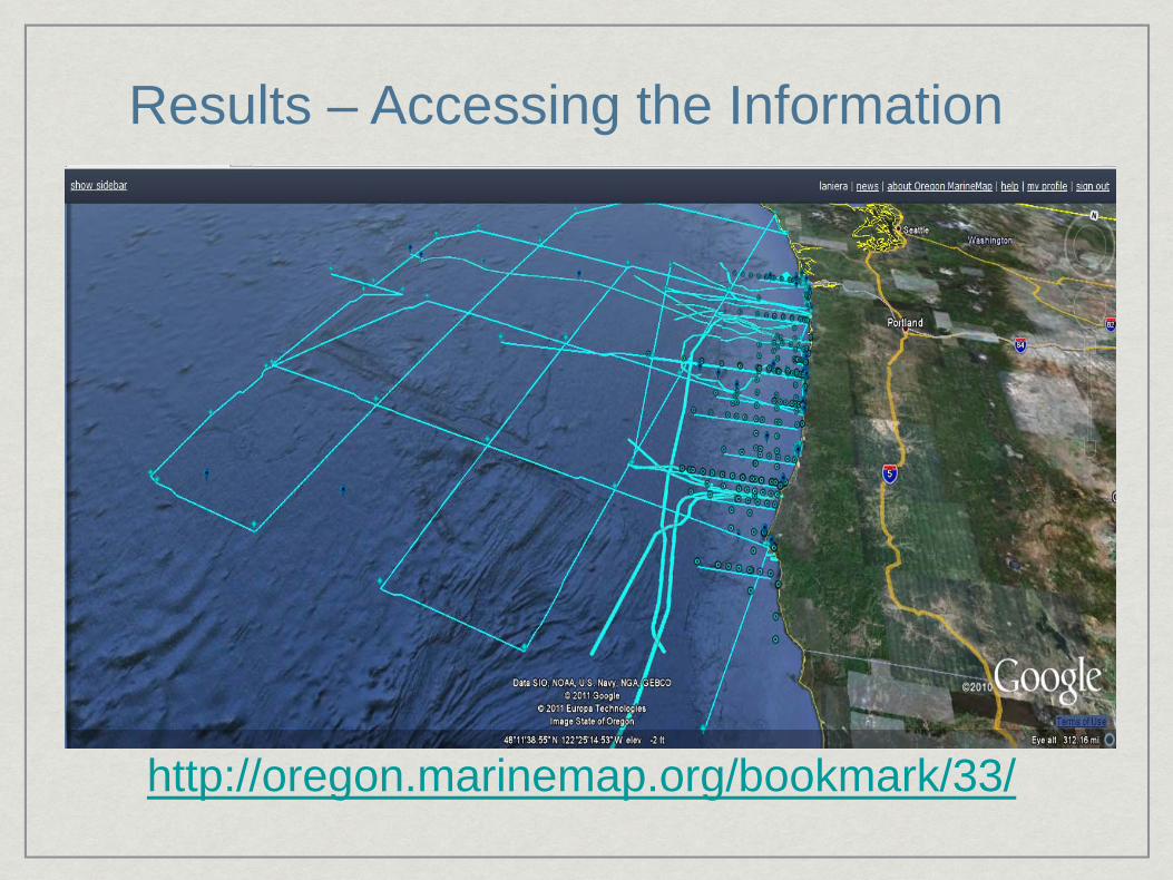
http://oregon.marinemap.org/bookmark/33/
Results – Accessing the Information
Results – General Findings
• Research is conducted along much of the Oregon coast, but there are hot spots for research
• Research is focused outside of river mouths
• Newport has the highest concentration of research
• It was unanimous for participants interviewed that an inventory of research is important, and should be included in spatial planning efforts.

Next Steps• Publish and distribute the results of the NRI project
• Continued maintenance of the completed inventory (appropriate time interval?)
• Determine the most useful format(s) for distribution of the information?
• Potential add-on project ideas:
• Generation of research metadata templates for publication of information
• Demonstration project to network the several data providers together within a common information system

Comments or Questions? Andy Lanier
Phone: 503.373.0050 X246