photoscan - airgonairgon.com/agisoft_photoscan.pdf · agisoft photoscan is a stand-alone...
TRANSCRIPT
PhotoScanFully automated professional photogrammetric kit
AirGonGeoCue Group
A u t h o r i z e d R e s e l l e r
Agisoft PhotoScan is a stand-alonephotogrammetric software solution for automatic generation of textured polygonal models, georeferenced true orthomosaics and DSMs / DTMs from still images.
Based on the state-of-the-art technology developed by Agisoft, it allows for very fast processing (typically within a couple of hours), providing at the same time highly accurate results (up to 5cm for aerial, and up to 1mm for close-range photography).
Agisoft PhotoScan is capable of processing of thousands of photos, yet all the processing is performed locally, without need to transmit the data outside the company, making it ideal solution forprocessing of sensitive data.
The software package has a linear project-based workflow that is intuitive and can be easily mastered even by a non-specialist,while professional photogrammetrists have complete control over results accuracy, with detailed report being generated at the end of processing.
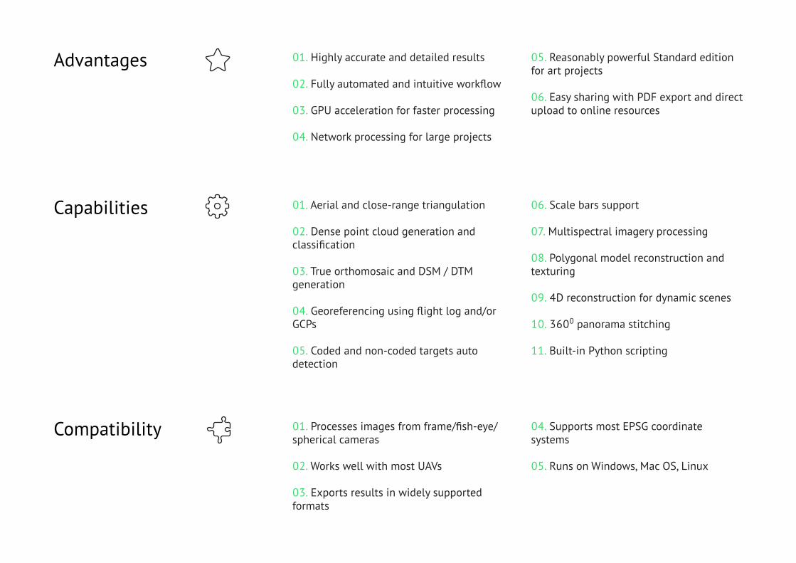
01. Highly accurate and detailed results
02. Fully automated and intuitive workflow
03. GPU acceleration for faster processing
04. Network processing for large projects
Advantages
01. Aerial and close-range triangulation
02. Dense point cloud generation and classification
03. True orthomosaic and DSM / DTM generation
04. Georeferencing using flight log and/or GCPs
05. Coded and non-coded targets auto detection
Capabilities
01. Processes images from frame/fish-eye/ spherical cameras
02. Works well with most UAVs
03. Exports results in widely supported formats
Compatibility
05. Reasonably powerful Standard edition for art projects
06. Easy sharing with PDF export and direct upload to online resources
06. Scale bars support
07. Multispectral imagery processing
08. Polygonal model reconstruction and texturing
09. 4D reconstruction for dynamic scenes
10. 3600 panorama stitching
11. Built-in Python scripting
04. Supports most EPSG coordinate systems
05. Runs on Windows, Mac OS, Linux
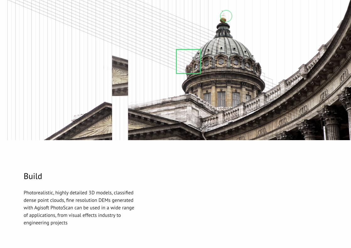
Photorealistic, highly detailed 3D models, classified dense point clouds, fine resolution DEMs generatedwith Agisoft PhotoScan can be used in a wide range of applications, from visual effects industry toengineering projects
Build
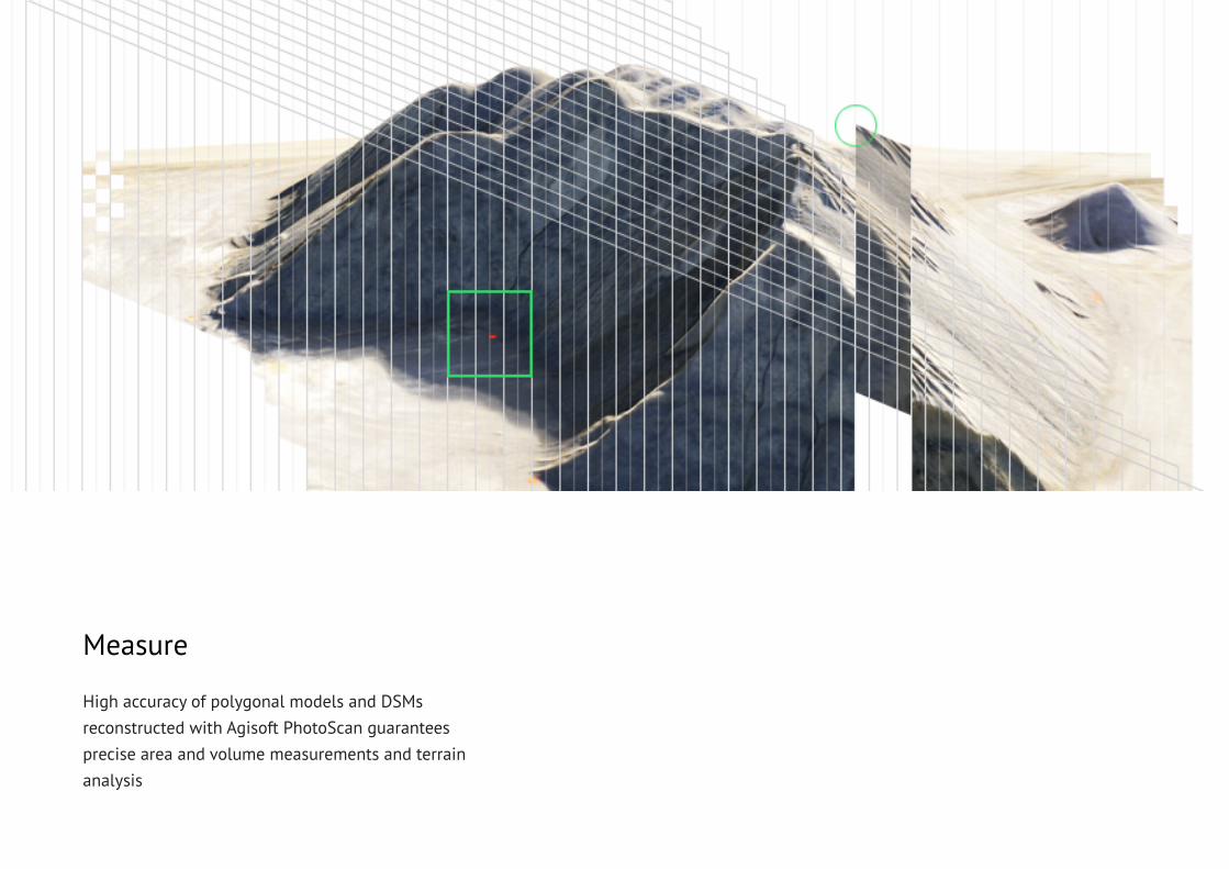
High accuracy of polygonal models and DSMs reconstructed with Agisoft PhotoScan guaranteesprecise area and volume measurements and terrain analysis
Measure
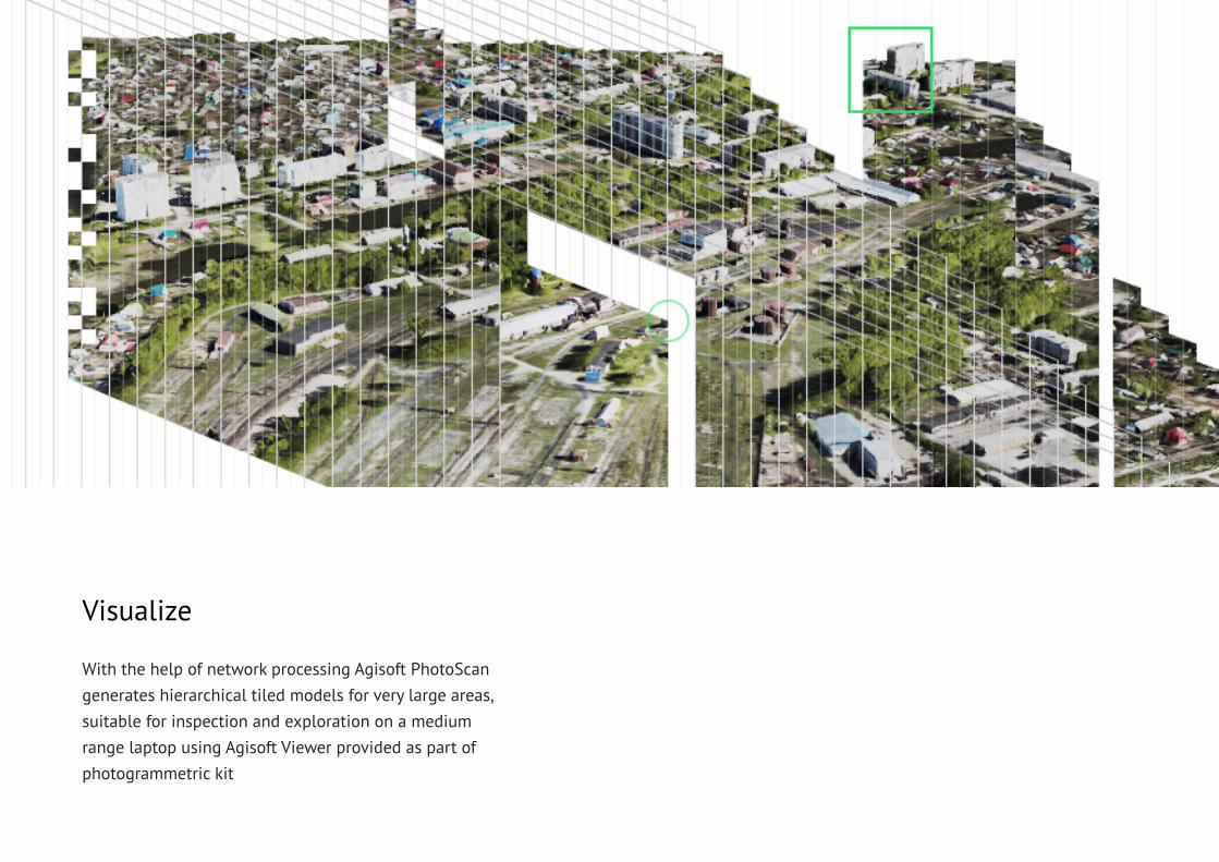
With the help of network processing Agisoft PhotoScan generates hierarchical tiled models for very large areas, suitable for inspection and exploration on a medium range laptop using Agisoft Viewer provided as part of photogrammetric kit
Visualize
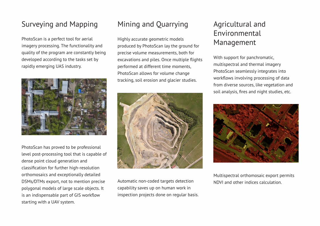
PhotoScan is a perfect tool for aerial imagery processing. The functionality and quality of the program are constantly being developed according to the tasks set by rapidly emerging UAS industry.
Highly accurate geometric models produced by PhotoScan lay the ground for precise volume measurements, both for excavations and piles. Once multiple flights performed at different time moments, PhotoScan allows for volume changetracking, soil erosion and glacier studies.
Surveying and Mapping Mining and Quarrying
With support for panchromatic, multispectral and thermal imagery PhotoScan seamlessly integrates into workflows involving processing of data from diverse sources, like vegetation and soil analysis, fires and night studies, etc.
Agricultural and EnvironmentalManagement
PhotoScan has proved to be professional level post-processing tool that is capable of dense point cloud generation andclassification for further high-resolutionorthomosaics and exceptionally detailedDSMs/DTMs export, not to mention precisepolygonal models of large scale objects. It is an indispensable part of GIS workflow starting with a UAV system.
Automatic non-coded targets detectioncapability saves up on human work ininspection projects done on regular basis.
Multispectral orthomosaic export permitsNDVI and other indices calculation.
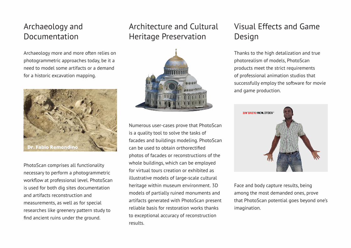
Archaeology more and more often relies onphotogrammetric approaches today, be it aneed to model some artifacts or a demand for a historic excavation mapping.
Archaeology and Documentation
Architecture and Cultural Heritage Preservation
Thanks to the high detalization and truephotorealism of models, PhotoScan products meet the strict requirements of professional animation studios that successfully employ the software for movie and game production.
Visual Effects and Game Design
PhotoScan comprises all functionality necessary to perform a photogrammetric workflow at professional level. PhotoScan is used for both dig sites documentation and artifacts reconstruction andmeasurements, as well as for special researches like greenery pattern study to find ancient ruins under the ground.
Numerous user-cases prove that PhotoScan is a quality tool to solve the tasks of facades and buildings modeling. PhotoScan can be used to obtain orthorectified photos of facades or reconstructions of the whole buildings, which can be employed for virtual tours creation or exhibited as illustrative models of large-scale cultural heritage within museum environment. 3D models of partially ruined monuments and artifacts generated with PhotoScan present reliable basis for restoration works thanks to exceptional accuracy of reconstruction results.
Face and body capture results, being among the most demanded ones, prove that PhotoScan potential goes beyond one’s imagination.
Agisoft PhotoScan 1.1
More powerfuland more flexibleAgisoft PhotoScan version 1.1 introduces support for city-scale modeling and visualization with new network processing capability and efficient hierarchical tiled model format compatible with Agisoft Viewer.
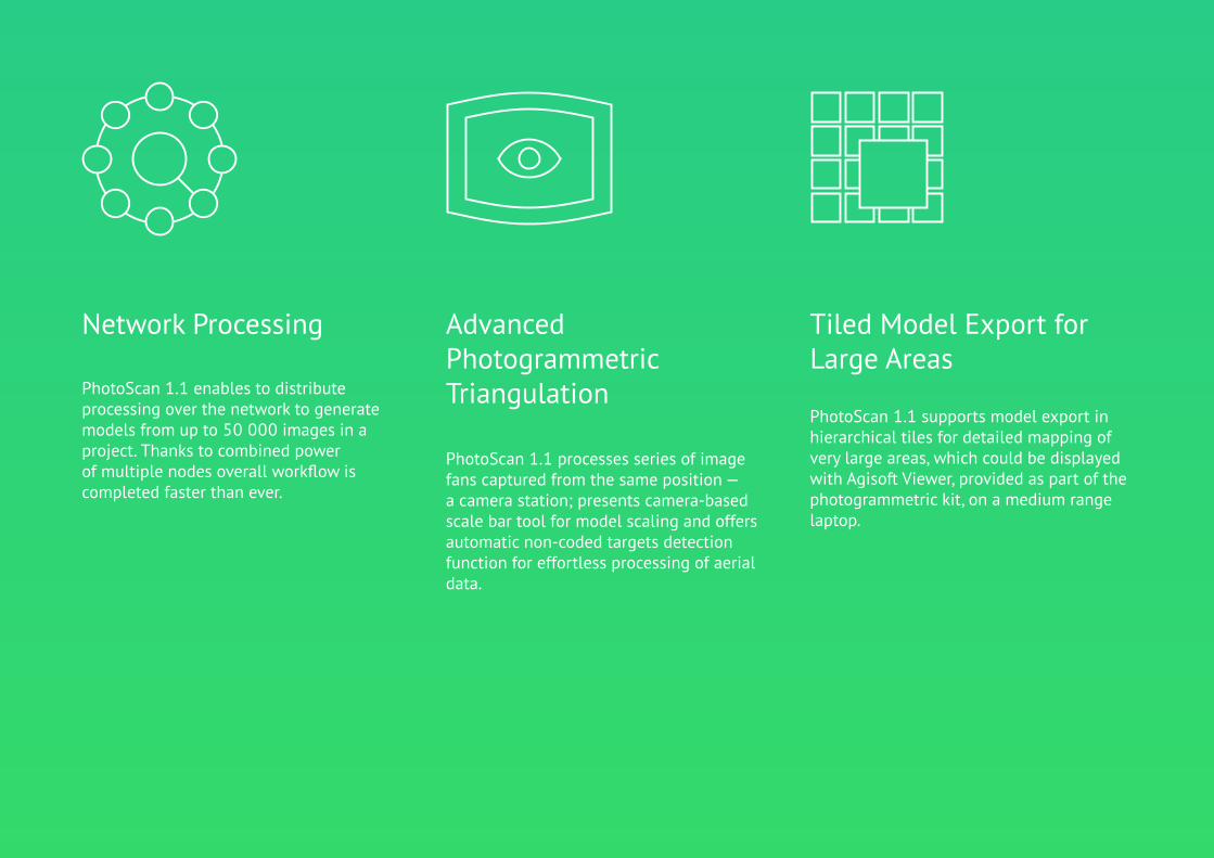
PhotoScan 1.1 supports model export in hierarchical tiles for detailed mapping of very large areas, which could be displayedwith Agisoft Viewer, provided as part of the photogrammetric kit, on a medium range laptop.
PhotoScan 1.1 processes series of image fans captured from the same position —a camera station; presents camera-basedscale bar tool for model scaling and offersautomatic non-coded targets detection function for effortless processing of aerial data.
PhotoScan 1.1 enables to distribute processing over the network to generate models from up to 50 000 images in aproject. Thanks to combined power of multiple nodes overall workflow is completed faster than ever.
Network Processing Tiled Model Export for Large Areas
Advanced Photogrammetric Triangulation
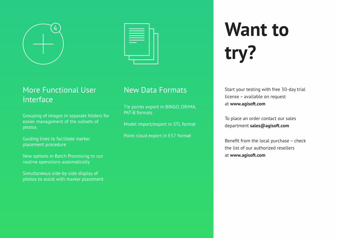
Grouping of images in separate folders foreasier management of the subsets of photos
Guiding lines to facilitate markerplacement procedure
New options in Batch Processing to runroutine operations automatically
Simultaneous side-by-side display ofphotos to assist with marker placement
Tie points export in BINGO, ORIMA,PAT-B formats
Model import/export in STL format
Point cloud export in E57 format
More Functional User Interface
New Data Formats Start your testing with free 30-day trial license – available on requestat www.agisoft.com
Want to try?
To place an order contact our sales department [email protected]
Benefit from the local purchase – checkthe list of our authorized resellersat www.agisoft.com

© 2014 Agisoft LLC
27 Gzhatskaya st., St. Petersburg,Russia, 195220
AirGonGeoCue Group
AirGon LLC9668 Madison Blvd., Suite 202
Madison, AL 35758
1-256-461-8289
www.AirGon.com