physical features of india
TRANSCRIPT

Physical
features of
India
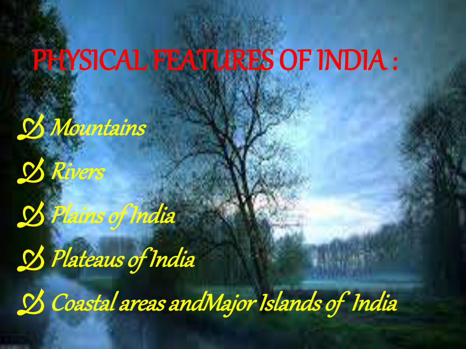
PHYSICAL FEATURES OF INDIA :
Mountains
Rivers
Plains of India
Plateaus of India
Coastal areas andMajor Islands of India
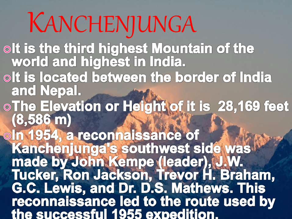
KANCHENJUNGA
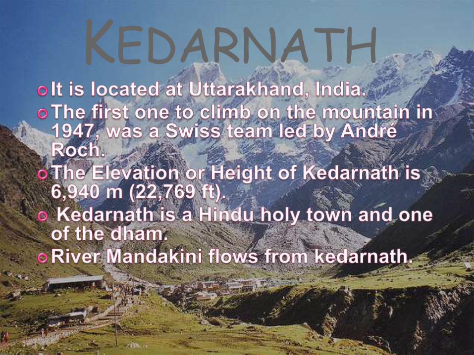
KEDARNATH
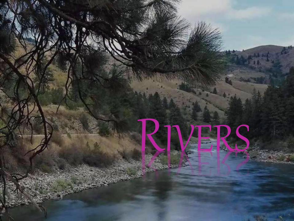
RIVERS
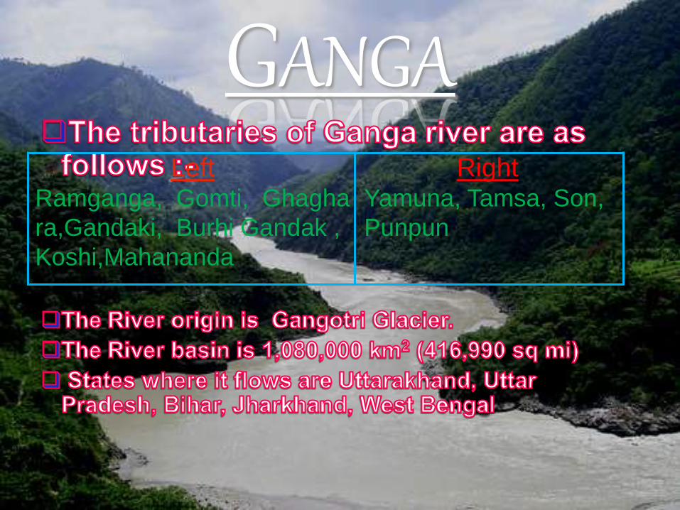
GANGALeft
Ramganga, Gomti, Ghagha
ra,Gandaki, Burhi Gandak ,
Koshi,Mahananda
RightYamuna, Tamsa, Son,
Punpun
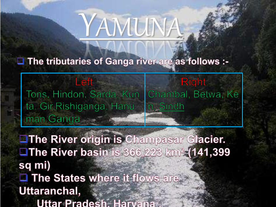
YAMUNA
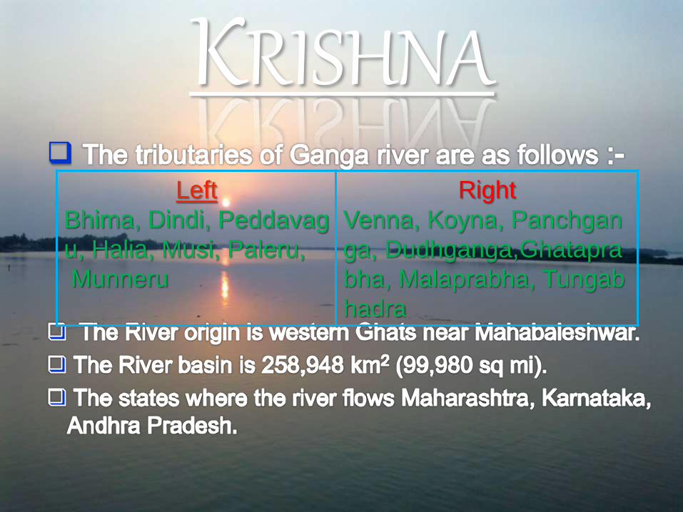
KRISHNA
Left
Bhima, Dindi, Peddavag
u, Halia, Musi, Paleru,
Munneru
Right
Venna, Koyna, Panchgan
ga, Dudhganga,Ghatapra
bha, Malaprabha, Tungab
hadra
PLAINS
EASTERN COASTAL
PLAINS
INDO-GANGETIC PLAINThe northern Plains also known as the Indo – Gangetic Plain and the North Indian River Plain is a large and fertile plain encompassing most of northern and eastern India, the most populous parts of Pakistan, parts of southern Nepal and virtually all of Bangladesh. The region is named after the Indus and the Ganges, the twin river systems that drain it.
The plain's population density is very high due to the fertile soil for farming.
The plains support one of the most populous areas on Earth, being home to nearly 1 billion people (or around 1/7 of the world's population) on 700,000 km² (270,000 mile²).
PLATEAUS OF
INDIA
DECCAN PLATEAUThe Deccan Plateau is a large plateau in India, making up most of the southern part of the country. It rises a hundred meters high in the north, and more than a kilometer high in the south, forming a raised triangle within the familiar downward-pointing triangle of the Indian subcontinent's coastline. It is located between two mountain ranges: the Western Ghats form its western boundary, and the Eastern Ghats its eastern boundary. Each rises from their respective nearby coastal plains and nearly meet at the southern tip of India. It is separated from the Gangetic plain to the north by the Satpura and Vindhya Ranges, which form its northern boundary.
CHOTA NAGPUR PLATEAU The Chota Nagpur Plateau is a plateau in eastern India, which covers
much of Jharkhand state as well as adjacent parts of Orissa, West Bengal, Bihar and Chhattisgarh. The Indo-Gangetic plain lies to the north and east of the plateau, and the basin of the Mahanadi River lies to the south. The total area of the Chota Plateau is approximately 65,000 square kilometers (25,000 sq mi). The Chota Nagpur Plateau is a continental plateau - an extensive area of land thrust above the general land. The plateau has been formed by continental uplift from forces acting deep inside the earth.
Costal areas and Islands
COSTAL AREAS
The Eastern Coastal Plain is a wide stretch of land
lying between the Eastern Ghats and the Bay of
Bengal. It stretches from Tamil Nadu in the south
to West Bengal in the east. The Western Coastal
Plain is a narrow strip of land sandwiched between
the Western Ghats and the Arabian Sea, ranging
from 50 to 100 km (31 to 62 mi) in width.
ISLANDS
The Lakshadweep and the Andaman and Nicobar Islands are India's two major island formations and are classified as union territories. The Lakshadweep Islands lie 200 to 300 km (120 to 190 mi) off the coast of Kerala in the Arabian Sea with an area of 32 km2 (12 sq mi). The Andaman and Nicobar Islands are located between 6° and 14°north latitude and 92° and 94° east longitude.


By : muskan sharma(IX)