preliminary plan checklist (p) preliminary equivalent
TRANSCRIPT

PRELIMINARY PLAN CHECKLIST (P) PRELIMINARY EQUIVALENT SKETCH PLAN (SP)
To be completed by the applicant. It is to be signed by the appropriate design professional with the initial document submittal. Subsequent checklist submittals will be at the discretion of the Development Engineering Division, DP&Z
I. GENERAL
II. GENERAL INFORMATION
A. Certification Letter from Professional Engineer that the Preliminary Public Water/Sewer Plans have beensubmitted for review and site is included in Metropolitan District
B. APFO Study w/Accident Analysis (SP Plan Only)C. Sight Distance Analysis w/85th Percentile Speed Study (SP Plan Only)D. Preliminary Stormwater Management/Storm Drain ComputationsE. Geotechnical Report for Stormwater ManagementF. 100-Year Floodplain StudyG. Noise Study w/Mitigation identified and included on planH. Design Manual Waiver RequestI. Letter of Permission for Offsite Disturbance
A. Standard title and signature blocks (ALL SHEETS)1. Owner/Developer name, address and phone number2. Design Professional name, address, phone number, seal, signature, date3. Project name, zoning, tax map, election district, street address, parcel no.4. Permit, file reference numbers, water & sewer contract numbers, etc.5. Graphic Scale
B. Vicinity map requirements (COVER SHEET)1. Scale 1”=2000’ north arrow shown2. ADC Map Coordinates3. Two (2) Howard County Geodetic Coordinates shown and labeled4. Site delineated
C. Notes and information (COVER SHEET)1. Howard County Standard General Notes for Preliminary Plans2. Site Analysis Data Sheet3. Legend4. Sheet Index
D. General sheet information (ALL SHEETS)1. Plan scale 1”=10’ to 1”=50’2. Profile scale 1”=5’ vertical, 1”=50’ horizontal3. Minimum three (3) grid ticks on plan sheets4. North Arrow5. Match lines labeled and referenced
Page 1 of 13
III. PRELIMINARY PLAN (Design information included in P or SP plan set)
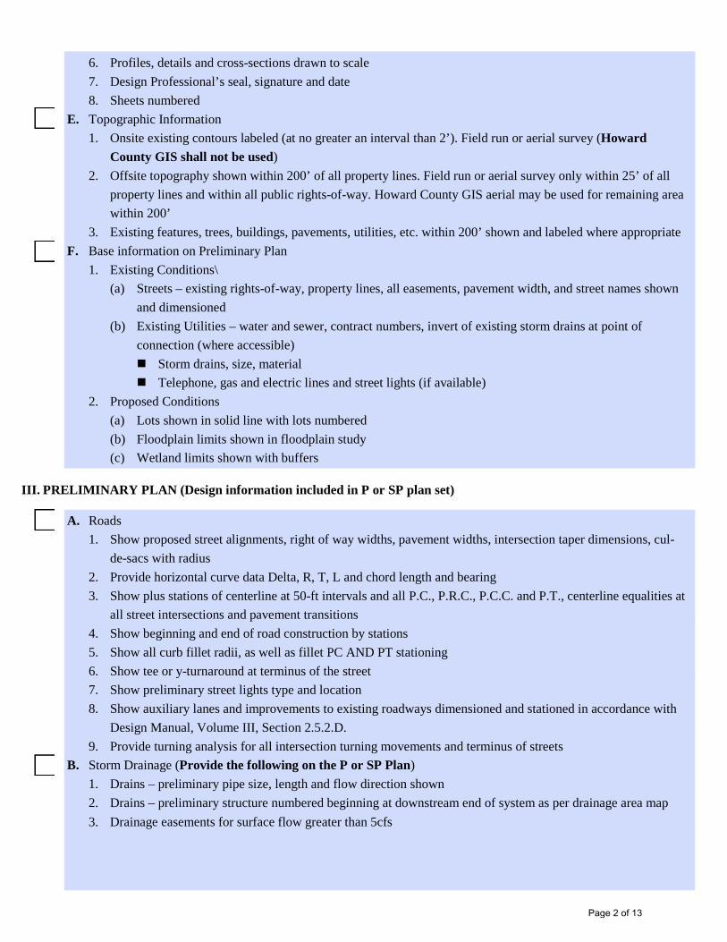
6. Profiles, details and cross-sections drawn to scale7. Design Professional’s seal, signature and date8. Sheets numbered
E. Topographic Information1. Onsite existing contours labeled (at no greater an interval than 2’). Field run or aerial survey (Howard
County GIS shall not be used)2. Offsite topography shown within 200’ of all property lines. Field run or aerial survey only within 25’ of all
property lines and within all public rights-of-way. Howard County GIS aerial may be used for remaining areawithin 200’
3. Existing features, trees, buildings, pavements, utilities, etc. within 200’ shown and labeled where appropriateF. Base information on Preliminary Plan
1. Existing Conditions\(a) Streets – existing rights-of-way, property lines, all easements, pavement width, and street names shown
and dimensioned(b) Existing Utilities – water and sewer, contract numbers, invert of existing storm drains at point of
connection (where accessible) Storm drains, size, material Telephone, gas and electric lines and street lights (if available)
2. Proposed Conditions(a) Lots shown in solid line with lots numbered(b) Floodplain limits shown in floodplain study(c) Wetland limits shown with buffers
A. Roads1. Show proposed street alignments, right of way widths, pavement widths, intersection taper dimensions, cul-
de-sacs with radius2. Provide horizontal curve data Delta, R, T, L and chord length and bearing3. Show plus stations of centerline at 50-ft intervals and all P.C., P.R.C., P.C.C. and P.T., centerline equalities at
all street intersections and pavement transitions4. Show beginning and end of road construction by stations5. Show all curb fillet radii, as well as fillet PC AND PT stationing6. Show tee or y-turnaround at terminus of the street7. Show preliminary street lights type and location8. Show auxiliary lanes and improvements to existing roadways dimensioned and stationed in accordance with
Design Manual, Volume III, Section 2.5.2.D.9. Provide turning analysis for all intersection turning movements and terminus of streets
B. Storm Drainage (Provide the following on the P or SP Plan)1. Drains – preliminary pipe size, length and flow direction shown2. Drains – preliminary structure numbered beginning at downstream end of system as per drainage area map3. Drainage easements for surface flow greater than 5cfs
Page 2 of 13

IV. APFO Study (Provide with SP Plans Only)
C. Road Profiles, Section & Details (Provide in the P or SP Plan Set)1. Show existing ground profile on centerline and left and right building restriction lines on profile and date2. Profile grade line shown and location labeled3. Show all plus stations, intersections, etc., and give P.G.L. elevations every 50 feet (25 feet in vertical curve)4. Label proposed grade and check against minimum and maximum grades5. Provide vertical curve data:
(a) P.V.I. Station and Elevation(b) Length of vertical curve, PVC and PVT stations and elevations(c) Correction(d) H.S.D. for sags and S.S.D. for crests(e) Stationing and elevations for sump locations or crest locations
6. When proposed paving is to be extended in the future, the profile grade line must be projected for aminimum of 400 ft
7. Provide all intersection approaches in accordance with the Design Manual, Volume III, Section 2.5.2.18. Cul-de-sac linear profile (P.G.L. station and elevation every 25 feet)9. Show design speed and road classification10. Indicate the street names and limits by stationing for which each typical section is applicable, the
classification of each roadway, and the appropriate design speed for each11. Provide cross-sections at 50’ stationing of improvements to existing public roads. Show the limits of
stationingD. Drainage area map requirements (Provide in the P or SP Plan set)
1. Delineate all the drainage areas to storm drain structures2. Label total drainage area, percent impervious, “C” factor for each subarea3. Delineate soils classifications4. Show existing and proposed grading to substantiate drainage delineation5. Show storm drain system with pipes and structures labeled6. Show any off-site drainage easements required. (Permission letter from affected owner(s), or right to
discharge letter is required at final plan stage)E. Provide an intersection sight distance analysis for all driveway intersections with existing roads in accordance
with Design Manual, Volume III, Section 2.5.B.9. or a stopping sight distance analysis in accordance withDesign Manual, Volume III, Section 2.2.D. as applicable (Provide in the SP Plan set only) include in thefollowing:1. 85th Percentile Speed Study2. Intersection/Stopping Sight Distance Analysis (scale 1”=5’V/50’H or larger)3. Survey along line of sight (horizontal/vertical obstructions shown)4. Design Manual Waiver (if necessary) for use of Stopping Sight Distance
A. Provide an APFO Traffic Study in conformance with the DMWIII requirements:1. Title Page to include:
(a) Job Name(b) Owner(c) Design Professional(d) Date prepared(e) Seal and signature
Page 3 of 13

V. 100 Year FLOODPLAIN STUDY
2. Table of Contents to include:(a) Sections listed(b) Appendix Listed(c) Figures and tables listed
3. Narrative to include:(a) Limits of study(b) Trip generation source(c) Vicinal developments included(d) Proposed mitigation(e) Accident analysis
4. Appendix to contain all computations, design charts and relevant data referenced5. All page numbers referenced in the Table of Contents
A. The design professional must study the following in the field before starting design1. Drainage Area2. Time of Concentration Paths3. Ground Cover/Stream Characteristics4. Downstream Hazards5. Soils Investigation
B. Hydrologic analysis1. Drainage area map shall include:
(a) Sub-areas shown per Design Manual, Volume I, Section 2.2.4 requirements and identifying all studypoints
(b) Time of concentration paths shown in segments as sheet flow, concentrated flow and channel flow(c) Ultimate drainage area information provided (Tc, RCN, area) for each sub-area(d) Soil types and hydrologic soils groups shown
2. Hydrologic Computations shall include:(a) RCN based on general plan or most recent zoning map(b) Time of concentration computations:
(1) Maximum L (sheet flow) = 100’(2) P100 = 7.2 inches (sheet flow)(3) Concentrated flow per TR-55(4) Channel flow per TR-55 (with cross section information)
(c) Soils map with sub-watershed boundaries indicated(d) Zoning Map/Land Use Map with sub-watershed boundaries indicated(e) Watershed schematic of TR-20(f) Backup calculations for stage discharge and discharge area – area relationships for channel rating tables(g) Backup calculations for stage discharge and stage-storage relationships for the reservoir routing tables
3. Hydraulic Computations for Bridge or Culvert Crossings(a) Geometry(b) Backup calculations for bridge/culvert parameters(c) Road profile w/survey control data
Page 4 of 13

C. Report Submission Requirements1. Title Page
(a) Job Name(b) Owner(c) Design Professional(d) Date Prepared(e) Seal and signature
2. Table of Contents(a) Sections listed(b) Appendix listed(c) Figures and tables listed
3. Narrative(a) Introduction – gives overview of what is contained in report(b) Brief description of existing conditions(c) Detailed description of ultimate site conditions (including any modifications to the channel)(d) Explanation of assumptions made (methodology, channel data, etc)(e) Explanation of HEC-2/HEC-RAS cross-section information(f) Determination of Manning’s “n” (verification included in appendix)(g) Summary(h) Conclusions and Recommendations(i) Appendix (contains all computations, design charts and relevant data references.) Number all sheets
and provide list of included computations in the Table of ContentsD. Plan submission requirements
1. Vicinity map on the cover sheet of the plans2. Floodplain drainage area map conforming to requirements above3. Plans at a scale of (1’=50’, 1”=100’, etc) to include:
(a) North Arrow(b) Grid ticks (3) at 250’ intervals (minimum)(c) Scale(d) Plan view with site boundaries(e) Contour (2’ interval, field run or aerial, Howard County only used for offsite areas)(f) Cross section locations identified
(1) Existing WSEL listed(2) Proposed WSEL listed(3) Section number listed
(g) Existing 100 year WSEL delineated(h) Proposed improvements/modifications shown(i) Proposed 100 year WSEL delineated(j) Summary listing of Section/Flow/WSEL (EX/WSEL (PR)(k) Each sheet signed and sealed
4. Profiles with consistent scales (1”=5’ vertical, 1”=50’ horizontal) Can use printout from HEC-RAS model)(a) Existing:
(1) Stream profile(2) 100 year WSEL plotted/label
Page 5 of 13
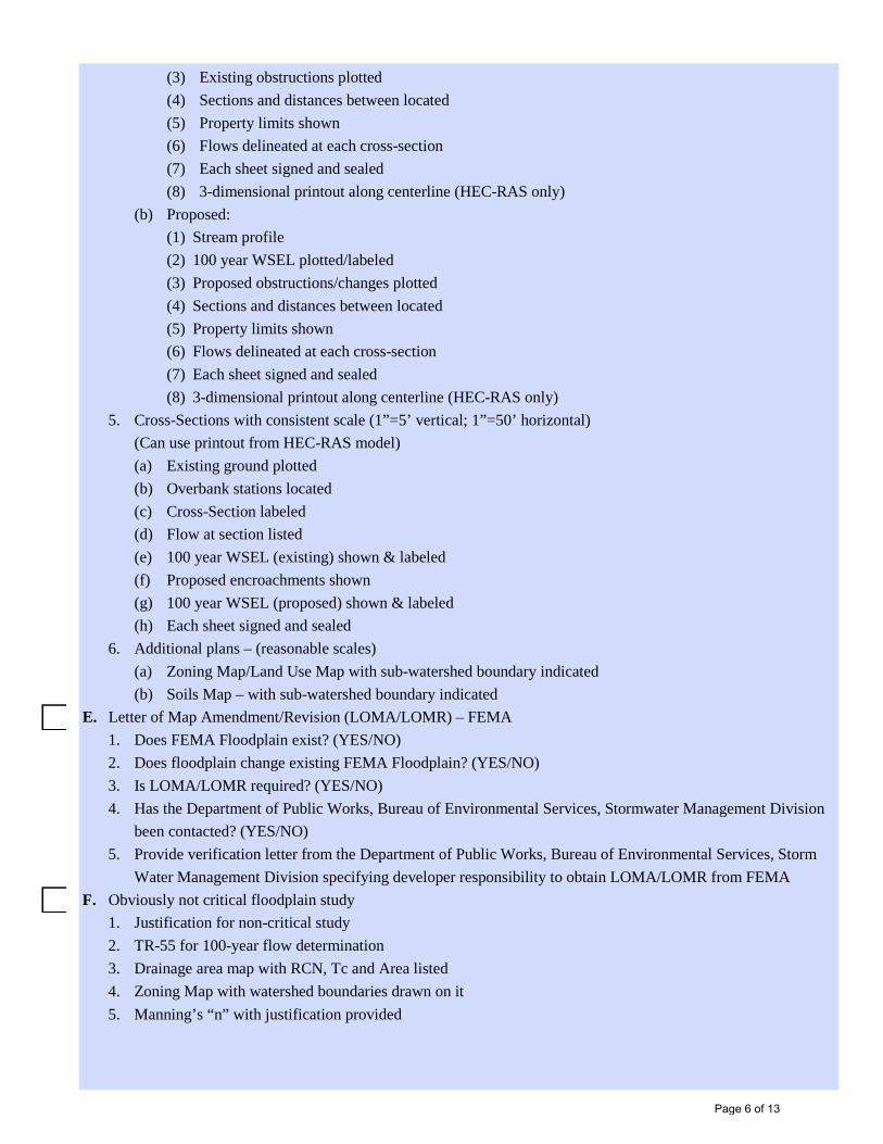
(3) Existing obstructions plotted(4) Sections and distances between located(5) Property limits shown(6) Flows delineated at each cross-section(7) Each sheet signed and sealed(8) 3-dimensional printout along centerline (HEC-RAS only)
(b) Proposed:(1) Stream profile(2) 100 year WSEL plotted/labeled(3) Proposed obstructions/changes plotted(4) Sections and distances between located(5) Property limits shown(6) Flows delineated at each cross-section(7) Each sheet signed and sealed(8) 3-dimensional printout along centerline (HEC-RAS only)
5. Cross-Sections with consistent scale (1”=5’ vertical; 1”=50’ horizontal)(Can use printout from HEC-RAS model)(a) Existing ground plotted(b) Overbank stations located(c) Cross-Section labeled(d) Flow at section listed(e) 100 year WSEL (existing) shown & labeled(f) Proposed encroachments shown(g) 100 year WSEL (proposed) shown & labeled(h) Each sheet signed and sealed
6. Additional plans – (reasonable scales)(a) Zoning Map/Land Use Map with sub-watershed boundary indicated(b) Soils Map – with sub-watershed boundary indicated
E. Letter of Map Amendment/Revision (LOMA/LOMR) – FEMA1. Does FEMA Floodplain exist? (YES/NO)2. Does floodplain change existing FEMA Floodplain? (YES/NO)3. Is LOMA/LOMR required? (YES/NO)4. Has the Department of Public Works, Bureau of Environmental Services, Stormwater Management Division
been contacted? (YES/NO)5. Provide verification letter from the Department of Public Works, Bureau of Environmental Services, Storm
Water Management Division specifying developer responsibility to obtain LOMA/LOMR from FEMAF. Obviously not critical floodplain study
1. Justification for non-critical study2. TR-55 for 100-year flow determination3. Drainage area map with RCN, Tc and Area listed4. Zoning Map with watershed boundaries drawn on it5. Manning’s “n” with justification provided
Page 6 of 13
VI. Noise Study w/Mitigation
VII. Storm Water Management
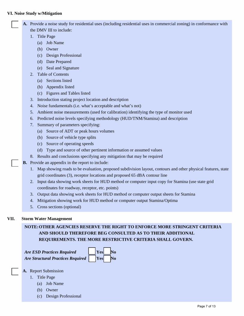
A. Provide a noise study for residential uses (including residential uses in commercial zoning) in conformance withthe DMV III to include:1. Title Page
(a) Job Name(b) Owner(c) Design Professional(d) Date Prepared(e) Seal and Signature
2. Table of Contents(a) Sections listed(b) Appendix listed(c) Figures and Tables listed
3. Introduction stating project location and description4. Noise fundamentals (i.e. what’s acceptable and what’s not)5. Ambient noise measurements (used for calibration) identifying the type of monitor used6. Predicted noise levels specifying methodology (HUD/TNM/Stamina) and description7. Summary of parameters specifying:
(a) Source of ADT or peak hours volumes(b) Source of vehicle type splits(c) Source of operating speeds(d) Type and source of other pertinent information or assumed values
8. Results and conclusions specifying any mitigation that may be requiredB. Provide an appendix in the report to include:
1. Map showing roads to be evaluation, proposed subdivision layout, contours and other physical features, stategrid coordinates (3), receptor locations and proposed 65 dBA contour line
2. Input data showing work sheets for HUD method or computer input copy for Stamina (use state gridcoordinates for roadway, receptor, etc. points)
3. Output data showing work sheets for HUD method or computer output sheets for Stamina4. Mitigation showing work for HUD method or computer output Stamina/Optima5. Cross sections (optional)
NOTE: OTHER AGENCIES RESERVE THE RIGHT TO ENFORCE MORE STRINGENT CRITERIAAND SHOULD THEREFORE BEG CONSULTED AS TO THEIR ADDITIONAL REQUIREMENTS. THE MORE RESTRICTIVE CRITERIA SHALL GOVERN.
Are ESD Practices Required Yes No Are Structural Practices Required Yes No
A. Report Submission1. Title Page
(a) Job Name(b) Owner(c) Design Professional
Page 7 of 13

(d) Date Prepared(e) Seal, Signature and Professional Certification
2. Table of Contents(a) Sections listed(b) Appendix listed(c) Figures & Tables listed
3. Narrative(a) Introduction – gives overview of what is contained in report(b) Field Investigation – gives overview of findings of design professional from site visit prior to starting
design. Includes narratives on drainage areas, time of concentration paths, ground cover, downstreamhazards, soil investigations, etc.
(c) General site information (i.e., acreage, zoning, location, slopes)(d) Impervious cover information (existing and proposed)(e) Site Specific information
1) Justification for type of ESD to the MEP practices used2) Justification for type of Structural Practices used3) Provide narrative in response to each of the Performance Standards defined in the MDE SWM
Design Manual, Vol. I, Chapter 1 (as applicable)4) Define facility ownership (ESD and Structural Practices)5) Methodology/analysis used for design (reference all assumption)6) WQv, Rev and/or ESDv requirements/analysis (as applicable)7) Quantity requirements/analysis8) Facility summary (ESD and Structural Practices)9) Drainage Easements10) Drainage Systems11) Floodplain information12) Effects of development on adjacent properties13) Effects of development on the natural and traditional character of the waterway14) Erosion sedimentation control measures15) Cut/fill and soil disposal16) Impact on existing and proposed utilities17) Provide name of watershed and stream use designations for all discharge points (Verify need to
provide Qp and Qf with DPZ/DED)(f) Summary: In tabular form identify the area in acres, the required and provided Pe, ESDv, Cpv, QP10
and Qf100 as applicable for the overall site(g) Conclusions and recommendations(h) Appendix (contains all computations, design charts and relevant data references. Number all sheets and
provide list of included computations in the table of contents.B. Drainage Area Maps
1. ESD Drainage Area Map(a) Soil types and hydrologic soil groups shown on the map(b) ESD practices shown and labeled with corresponding outfalls indicated(c) Drainage areas showing the area (in acres), impervious area, pervious area, woods and ESDv required
to each micro-scale practice
Page 8 of 13

(d) Grading shown to justify volume, surface area, disconnection practices and outfall locations(e) Summary table with required and provided stormwater ESDv, Pe, Cpv, Q10 and Q100 requirements (if
applicable) listed2. Structural Practices – Existing Drainage Area Map
(a) Sub-areas shown per Design Manual, Volume I, Section 2.2.4 requirements. Identify study points(b) Subareas include offsite area draining through the property(c) Time of Concentration Paths shown from the hydrologically most distant point in the subarea.
Segments are shown as sheet flow (100’ maximum length), concentrated flow and channel flow. Eachsegment specifies type, length and slope
(d) Existing Tc, RCN, Area (acres) specified for each sub-area(e) Soil types and hydrologic soil groups shown on the map(f) Summary table with existing peak runoff for Q1, Q10 and Q100 listed for each study point
3. Structural Practices – Proposed Drainage Area Map(a) Sub-areas shown per Design Manual, Volume I, Section 2.2.4 requirements. Identify study points(b) Subareas include offsite area draining through the property(c) Time of Concentration Paths shown from the hydrologically most distant point in the subarea.
Segments are shown as sheet flow (100’ maximum length), concentrated flow and channel flow. Eachsegment specifies type, length and slope
(d) Proposed Tc, RCN, Area (acres) specified for each sub-area(e) Soil types and hydrologic soil groups shown on the map(f) Rough grading contours (2’ max. interval) on the map(g) Summary table with proposed peak runoff for Q1, Q10, Q100 listed for each study point
C. Hydrologic Computations1. ESD to the MEP Calculations
(a) Overall Site Analysis1) Site Area2) Limit of Disturbance (LOD)3) Impervious Area by soil type4) Pervious Area by soil type5) Woods Area by soil type6) Target RCNwoods7) Rainfall Target (Pe)8) Runoff depth to size ESD practices (Qe)9) Total runoff volume required (ESDv)10) Recharge volume required (Rev)11) Cpv requirements (if applicable)
(b) Sub Ara Analysis1) % impervious2) Reduced RCN (if applicable)3) ESDv required4) ESDv provided5) Rev provided per device/sub area
Page 9 of 13

2. Structural Practices Calculations (TR-55 & TR-20 Methods Only)(a) Existing RCN (All cropland assumed to be meadow, developed land and other covers in good
hydrologic condition only)(b) Onsite developed RCN shall be based on actual land use within the drainage area(c) Time of concentration computations (sheet flow max. 100 ft. in developed condition concentrated flow
and channel flow as per TR-55, channel flow must have cross section information for velocitycomputation)
(d) Discharge computations1) 1-year storm managed (as required)2) 10-year storm managed (as required)3) 100-year storm managed (as required)
(e) BMP Design MethodologyFinal design computations considering credits for all proposed structural practices (include credit fornon-structural practices):1) Stormwater Management Pond
(i) P-1 micropool extended detention pond(ii) P-2 wet pond(iii) P-3 wet extended detention pond(iv) P-4 multiple pond system(v) P-5 pocket pond
2) Stormwater Wetlands(i) W-1 shallow wetland(ii) W-2 ED shallow wetland(iii) W-4 pond/wetland system(iv) W-5 pocket wetland
3) Infiltration Systems(i) I-1 infiltration trench(ii) I-2 infiltration basin
4) Stormwater filtering systems(i) F-1 surface sand filter(ii) F-2 underground sand filter(iii) F-3 perimeter sand filter(iv) F-4 organic filter(v) F-5 pocket sand filter(vi) F-6 bioretention
5) Open channel systems(i) O-1 dry swale(ii) O-2 wet swale
6) Others (must be approved MDE, DPZ/DED)(f) Storage Computations
1) Storage of runoff required and provided (Use TR-55 worksheet 2,3,4, &6)2) Forebay storage (363 cft. over impervious surfaces) does not count toward the WQv storage
requirement
Page 10 of 13

D. Soils Investigation1. Geotechnical report submitted by the appropriate design professional giving conclusions and
recommendation. Report shall include registration number, date, seal, signature and professional certificationof the responsible design professional
2. Minimum boring locations:(a) Structural BMP’s – at least 1 in the embankment centerline, 1 in the pool area, 1 in emergency spillway
minimum depth of 5 feet below the proposed bottom of structure, seasonal high ground water or refusal(proposed bottom of infiltration structure to be a minimum four feet above both)
(b) ESD Micro-scale practices – Minimum boring locations: 1 at least within 50 feet of each device3. Unified Soil Classification System textural classification for various layers with depth4. Seasonal high ground water determination5. Fill areas identified6. In-situ permeability test, minimum geotechnical requirements for Infiltration shall be based on Volume II of
the Storm Water Management Design Manual, Appendix D.1. minimum rate of 1.02 in/hr required foracceptability (ex. Drywells and pervious pavement over 10,000 sft.)
7. Rate of infiltration8. Scaled boring location map with surface elevation
E. Structural Practices Hydraulics & Other Computations:1. Stage – storage table and curve2. Stage discharge table and curve (Composite hydraulic performance table including detailed design of orifice,
weir and barrel flow)3. Check barrel control prior to riser/orifice flow4. 1-year, 10-year and 100-year routing TR-20 method5. Emergency spillway sized per MD-378. Routing table and curve provided6. Dam Breach Analysis7. Outlet protection (per SCD). Use 10-year, 100-year if no emergency spillway8. Channel Impact Analysis (if required) using HEC-RAS showing existing and proposed velocities with
channel improvement and slope stabilization9. Stability analysis of pond’s side slopes for surface drainage
F. Plans Submission – include all the following plans:1. Stormwater Management Plan (1”=50’ or less) for ESD Micro-scale Practices
(a) General Items1) Type of ESD and/or Disconnection Practice labeled per MDE nomenclature (i.e., M-1, M-2, N-1, N-
2, etc)2) Existing and final contours (1’ or 2’ interval)3) Existing and proposed improvements4) Locations of soil borings5) Outflow pipe, outlet protection (detail required), and outfall channel6) Positive overflow drainage away from structures7) Existing and proposed utility locations8) Show floodplain, environmental sensitive areas, wetlands, etc.9) 5’ buffer from end of outfall to property lines10) Outlet channel outside of stream or wetland buffers
Page 11 of 13

(b) Maintenance Items – provide vehicular access to all shared ESD practices1) Indicate the ownership and maintenance responsibility of the facility (i.e., private, HOA, or public)2) Minimum easement width = 20’3) Maximum slope for unpaved surface is 10%4) Maximum slope for paved surface is 12%5) Maximum cross slope is 3%6) Clear structures (eg. Utilities, drainage, fences, and streetlights)
2. Stormwater Management Plan (1”=50’ or less) for Structural Practices(a) General Items
1) Type and hazard classification of BMP facility labeled2) Existing and final contours (1’ or 2’ interval)3) Existing and proposed improvements4) Delineation of permanent Rev, WQv, Cpv, QP10 and QP100 WSEL elevations5) Locations of soil borings6) Outflow pipe, outlet protection and outfall channel7) Inflow improvements, storm drains carried to normal pool (wet) or pond’s bottom (dry)8) Emergency spillway level section and outlet channel9) Existing proposed utility location/protection10) Show floodplain, environmentally sensitive areas, wetlands, etc.11) 15’ no woody vegetation zone delineated from toe of slope12) 25’ pond buffer from 100-year WSEL, top of cut or toe of fill to property lines13) Adjacent structures 2’ vertical from 100-year WSEL14) 25’ buffer from end of riprap outlet channel to property lines15) Outlet channel outside of stream or wetland buffers16) Provide a summary table identifying the area in acres, the required and provided Rev, WQv, Cpv,
Qp10 and Qp100 for each drainage area. In a narrative, below the table, summarize the type offacility(s) used to achieve each of the above requirements in accordance with Chapter 4 of the MDESWM Design Manual
17) Forebay delineated, invert above permanent pool elevation or extended detention 1-year poolelevation, gabion embankment and control structure
(b) Maintenance Items1) Maintenance Access – from public right-of-way or publicly traveled road or a private road in a
multifamily projects:(i) Indicate the ownership and maintenance responsibility of the facility (i.e. private, HOA or
public)(ii) Minimum level width = 12’ (surrounding the pond)(iii) Minimum easement width = 20’(iv) Maximum slope for unpaved surface is 10%(v) Maximum slope for paved surface is 12%(vi) Maximum cross slope = 3%(vii) Provided around the entire pond(viii)Access to riser, emergency spillway, forebays and outfall structures(ix) Clear of structures (e.g. utilities, drainage, gences and streetlights)
Page 12 of 13
Check the Help and Resources Instructions accessible from the ProjectDox login screen for the appropriate locations to upload all documentation including this checklist. Once you have completed your uploads, remember to complete your ProjectDox task.
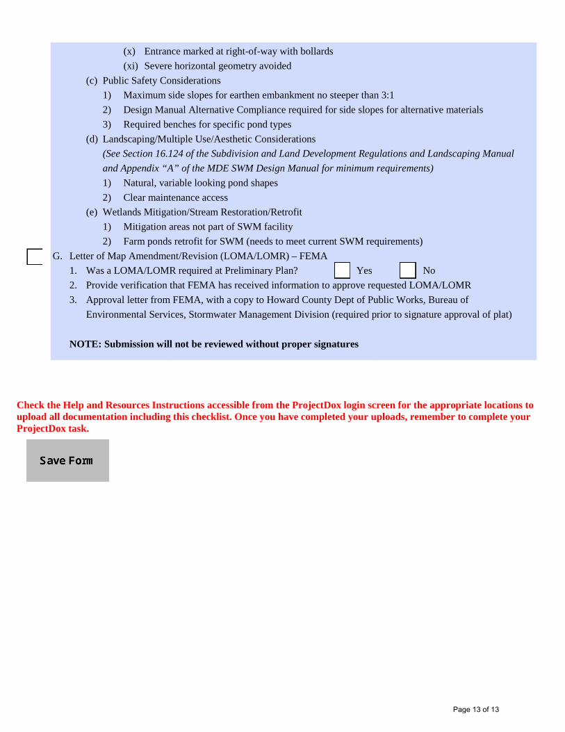
(x) Entrance marked at right-of-way with bollards(xi) Severe horizontal geometry avoided
(c) Public Safety Considerations1) Maximum side slopes for earthen embankment no steeper than 3:12) Design Manual Alternative Compliance required for side slopes for alternative materials3) Required benches for specific pond types
(d) Landscaping/Multiple Use/Aesthetic Considerations(See Section 16.124 of the Subdivision and Land Development Regulations and Landscaping Manualand Appendix “A” of the MDE SWM Design Manual for minimum requirements)1) Natural, variable looking pond shapes2) Clear maintenance access
(e) Wetlands Mitigation/Stream Restoration/Retrofit1) Mitigation areas not part of SWM facility2) Farm ponds retrofit for SWM (needs to meet current SWM requirements)
G. Letter of Map Amendment/Revision (LOMA/LOMR) – FEMA1. Was a LOMA/LOMR required at Preliminary Plan? Yes No 2. Provide verification that FEMA has received information to approve requested LOMA/LOMR3. Approval letter from FEMA, with a copy to Howard County Dept of Public Works, Bureau of
Environmental Services, Stormwater Management Division (required prior to signature approval of plat)
NOTE: Submission will not be reviewed without proper signatures
Page 13 of 13