public notice - oklahoma department of … in the muddy boggy creek study area. the waters in this...
TRANSCRIPT
1
PUBLIC NOTICE
July 26, 2012
AVAILABILITY OF DRAFT BACTERIA AND TURBIDITY
TMDLs FOR THE MUDDY BOGGY CREEK AREA WATERSHED
REQUEST FOR PUBLIC COMMENTS
Public Comment Period Ends: September 10, 2012
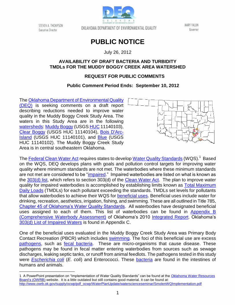
The Oklahoma Department of Environmental Quality (DEQ) is seeking comments on a draft report describing reductions needed to improve water quality in the Muddy Boggy Creek Study Area. The waters in this Study Area are in the following watersheds: Muddy Boggy (USGS HUC 11140103), Clear Boggy (USGS HUC 11140104), Bois D'Arc-Island (USGS HUC 11140101), and Blue (USGS HUC 11140102). The Muddy Boggy Creek Study Area is in central southeastern Oklahoma. The Federal Clean Water Act requires states to develop Water Quality Standards (WQS).
1 Based
on the WQS, DEQ develops plans with goals and pollution control targets for improving water quality where minimum standards are not met. The waterbodies where these minimum standards are not met are considered to be “impaired.” Impaired waterbodies are listed on what is known as the 303(d) list, which refers to section 303(d) of the Clean Water Act. The plan to improve water quality for impaired waterbodies is accomplished by establishing limits known as Total Maximum Daily Loads (TMDLs) for each pollutant exceeding the standards. TMDLs set levels for pollutants that allow waterbodies to achieve their WQS for beneficial uses. Beneficial uses include water for drinking, recreation, aesthetics, irrigation, fishing, and swimming. These are all outlined in Title 785, Chapter 45 of Oklahoma’s Water Quality Standards. All waterbodies have designated beneficial uses assigned to each of them. This list of waterbodies can be found in Appendix B (Comprehensive Waterbody Assessment) of Oklahoma’s 2010 Integrated Report. Oklahoma’s 303(d) List of Impaired Waters is found in Appendix C. One of the beneficial uses evaluated in the Muddy Boggy Creek Study Area was Primary Body Contact Recreation (PBCR) which includes swimming. The foci of this beneficial use are excess pathogens, such as fecal bacteria. These are micro-organisms that cause disease. These pathogens may be found in fecal matter entering waterbodies from sources such as sewage discharges, leaking septic tanks, or runoff from animal feedlots. The pathogens tested in this study were Escherichia coli (E. coli) and Enterococci. These bacteria are found in the intestines of humans and animals.
1 A PowerPoint presentation on “Implementation of Water Quality Standards” can be found at the Oklahoma Water Resources Board’s (OWRB) website. It is a little outdated but still contains good material. It can be found at: http://www.owrb.ok.gov/supply/ocwp/pdf_ocwp/WaterPlanUpdate/waterscienceseminar/SmolenWQImplementation.pdf
2
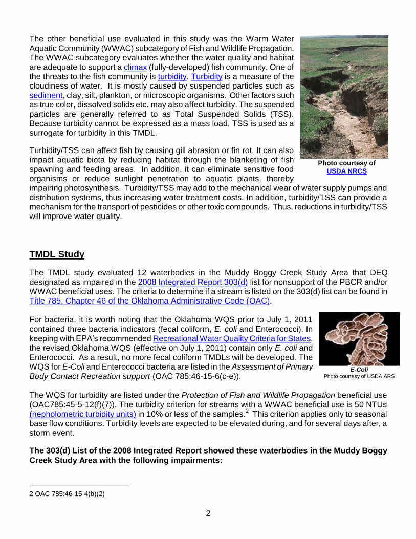
The other beneficial use evaluated in this study was the Warm Water Aquatic Community (WWAC) subcategory of Fish and Wildlife Propagation. The WWAC subcategory evaluates whether the water quality and habitat are adequate to support a climax (fully-developed) fish community. One of the threats to the fish community is turbidity. Turbidity is a measure of the cloudiness of water. It is mostly caused by suspended particles such as sediment, clay, silt, plankton, or microscopic organisms. Other factors such as true color, dissolved solids etc. may also affect turbidity. The suspended particles are generally referred to as Total Suspended Solids (TSS). Because turbidity cannot be expressed as a mass load, TSS is used as a surrogate for turbidity in this TMDL.
Turbidity/TSS can affect fish by causing gill abrasion or fin rot. It can also impact aquatic biota by reducing habitat through the blanketing of fish spawning and feeding areas. In addition, it can eliminate sensitive food organisms or reduce sunlight penetration to aquatic plants, thereby impairing photosynthesis. Turbidity/TSS may add to the mechanical wear of water supply pumps and distribution systems, thus increasing water treatment costs. In addition, turbidity/TSS can provide a mechanism for the transport of pesticides or other toxic compounds. Thus, reductions in turbidity/TSS will improve water quality.
TMDL Study
The TMDL study evaluated 12 waterbodies in the Muddy Boggy Creek Study Area that DEQ designated as impaired in the 2008 Integrated Report 303(d) list for nonsupport of the PBCR and/or WWAC beneficial uses. The criteria to determine if a stream is listed on the 303(d) list can be found in Title 785, Chapter 46 of the Oklahoma Administrative Code (OAC). For bacteria, it is worth noting that the Oklahoma WQS prior to July 1, 2011 contained three bacteria indicators (fecal coliform, E. coli and Enterococci). In keeping with EPA’s recommended Recreational Water Quality Criteria for States, the revised Oklahoma WQS (effective on July 1, 2011) contain only E. coli and Enterococci. As a result, no more fecal coliform TMDLs will be developed. The WQS for E-Coli and Enterococci bacteria are listed in the Assessment of Primary Body Contact Recreation support (OAC 785:46-15-6(c-e)). The WQS for turbidity are listed under the Protection of Fish and Wildlife Propagation beneficial use (OAC785:45-5-12(f)(7)). The turbidity criterion for streams with a WWAC beneficial use is 50 NTUs (nepholometric turbidity units) in 10% or less of the samples.
2 This criterion applies only to seasonal
base flow conditions. Turbidity levels are expected to be elevated during, and for several days after, a storm event.
2 OAC 785:46-15-4(b)(2)
The 303(d) List of the 2008 Integrated Report showed these waterbodies in the Muddy Boggy
Creek Study Area with the following impairments:
Photo courtesy of
USDA NRCS
E-Coli Photo courtesy of USDA ARS

3
Waterbody ID Waterbody Name ENT E. coli Turbidity
OK410400010070_00 Muddy Boggy Creek X
OK410400010130_00 Lick Creek X
OK410400010210_00 Whitegrass Creek X
OK410400030010_00 Clear Boggy Creek X
OK410400030020_00 Caney Creek X*
OK410400030240_00 Delaware Creek X
OK410400030370_00 Leader Creek X X X
OK410400030490_00 Goose Creek X
OK410400050270_10 Muddy Boggy Creek X
OK410400060120_00 Caney Boggy Creek X X
OK410400050410_00 Boggy Creek, North X
OK410600020020_00 Sandy Creek X ENT = enterococci; X = Impaired with these pollutants/Source: 2008 Integrated Report, DEQ 2008 * = Was listed as impaired for Secondary Body Contact Recreation
Here is where the impaired waterbodies are located in the Muddy Boggy Creek Study Area:
4
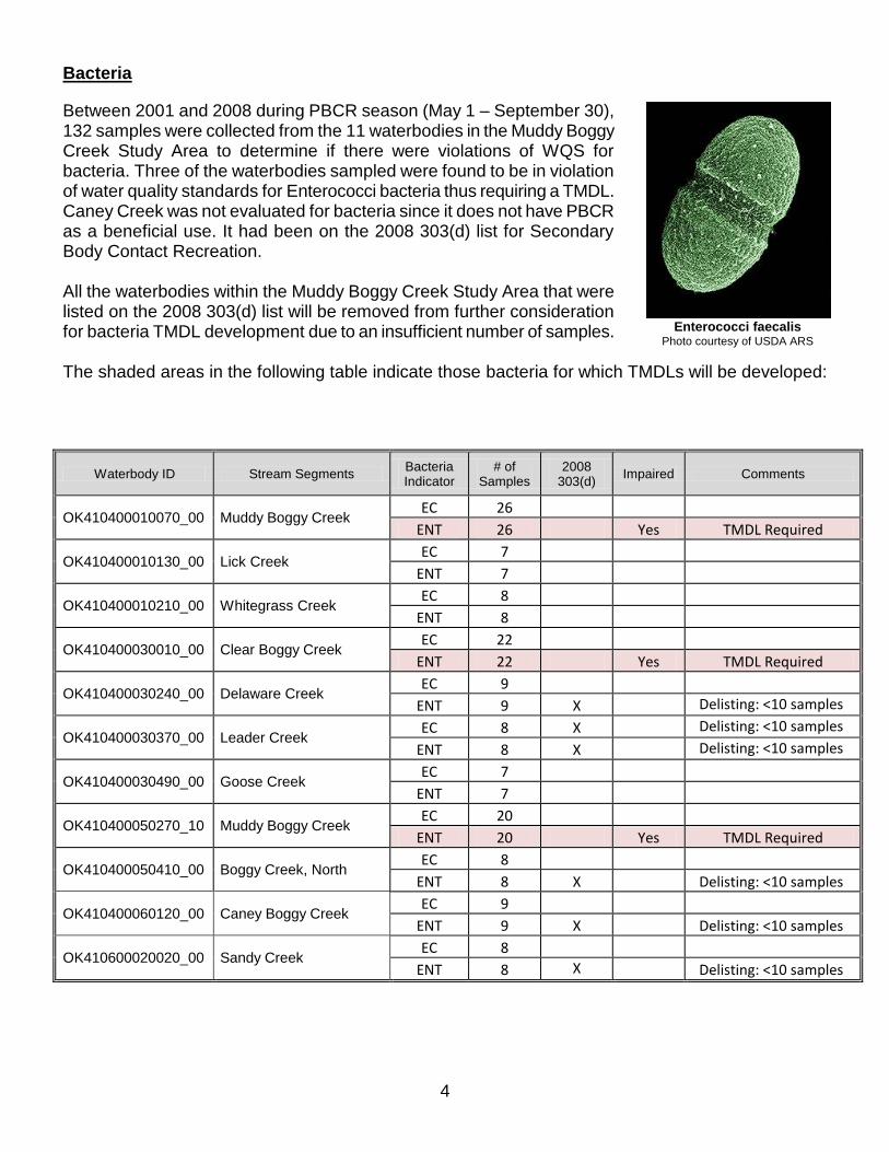
Bacteria
Between 2001 and 2008 during PBCR season (May 1 – September 30), 132 samples were collected from the 11 waterbodies in the Muddy Boggy Creek Study Area to determine if there were violations of WQS for bacteria. Three of the waterbodies sampled were found to be in violation of water quality standards for Enterococci bacteria thus requiring a TMDL. Caney Creek was not evaluated for bacteria since it does not have PBCR as a beneficial use. It had been on the 2008 303(d) list for Secondary Body Contact Recreation. All the waterbodies within the Muddy Boggy Creek Study Area that were listed on the 2008 303(d) list will be removed from further consideration for bacteria TMDL development due to an insufficient number of samples. The shaded areas in the following table indicate those bacteria for which TMDLs will be developed:
Waterbody ID Stream Segments Bacteria Indicator
# of Samples
2008 303(d)
Impaired Comments
OK410400010070_00 Muddy Boggy Creek EC 26
ENT 26 Yes TMDL Required
OK410400010130_00 Lick Creek EC 7
ENT 7
OK410400010210_00 Whitegrass Creek EC 8
ENT 8
OK410400030010_00 Clear Boggy Creek EC 22
ENT 22 Yes TMDL Required
OK410400030240_00 Delaware Creek EC 9
ENT 9 X Delisting: <10 samples
OK410400030370_00 Leader Creek EC 8 X Delisting: <10 samples
ENT 8 X Delisting: <10 samples
OK410400030490_00 Goose Creek EC 7
ENT 7
OK410400050270_10 Muddy Boggy Creek EC 20
ENT 20 Yes TMDL Required
OK410400050410_00 Boggy Creek, North EC 8
ENT 8 X Delisting: <10 samples
OK410400060120_00 Caney Boggy Creek EC 9
ENT 9 X Delisting: <10 samples
OK410600020020_00 Sandy Creek EC 8
ENT 8 X Delisting: <10 samples
Enterococci faecalis Photo courtesy of USDA ARS
5
Turbidity
From 1997 - 2010, turbidity samples were taken from the same water quality monitoring (WQM) stations, but these samples were taken all year round for all 12 creeks in the Muddy Boggy Creek Study Area. Of these, 272 turbidity and 161 TSS samples during base flow conditions were used to determine if there were violations of water quality standards for turbidity in the Muddy Boggy Creek Study Area. All eight creeks that were listed as impaired for turbidity on the 2008 303(d) list, were still found to be impaired for turbidity. The shaded waterbodies are those for which a TMDL will be developed.
Waterbody ID Waterbody Name % turbidity samples
exceeding criterion
Comments
OK410400010070_00 Muddy Boggy Creek 39% TMDL required
OK410400010130_00 Lick Creek 33% TMDL required
OK410400010210_00 Whitegrass Creek 47% TMDL required
OK410400030010_00 Clear Boggy Creek 25% TMDL required
OK410400030020_00 Caney Creek 5%
OK410400030240_00 Delaware Creek 5%
OK410400030370_00 Leader Creek 84% TMDL required
OK410400030490_00 Goose Creek 17% TMDL required
OK410400050270_10 Muddy Boggy Creek 52% TMDL required
OK410400050410_00 Boggy Creek, North 5%
OK410400060120_00 Caney Boggy Creek 32% TMDL required
OK410600020020_00 Sandy Creek 0%
TMDLs
A TMDL document uses scientific data collection and analysis to determine the amount and source of each pollutant entering the system, and allocates pollutant loads to each source at levels that would ultimately restore water quality to meet clean water standards. A TMDL is the amount of each pollutant a waterway can receive and not violate water quality standards. A TMDL takes into account the pollution from all sources.
An important part of TMDL analysis is the identification of individual sources of pollutants in the watershed that affect pathogens and the amount of loading contributed by each source. Under the Clean Water Act, sources are classified as either point or non-point sources. The National Pollutant Discharge Elimination System (NPDES) program
regulates point source discharges. A point source is
described as a discernable, confined, and discrete conveyance from which pollutants are or may be discharged to surface waters.
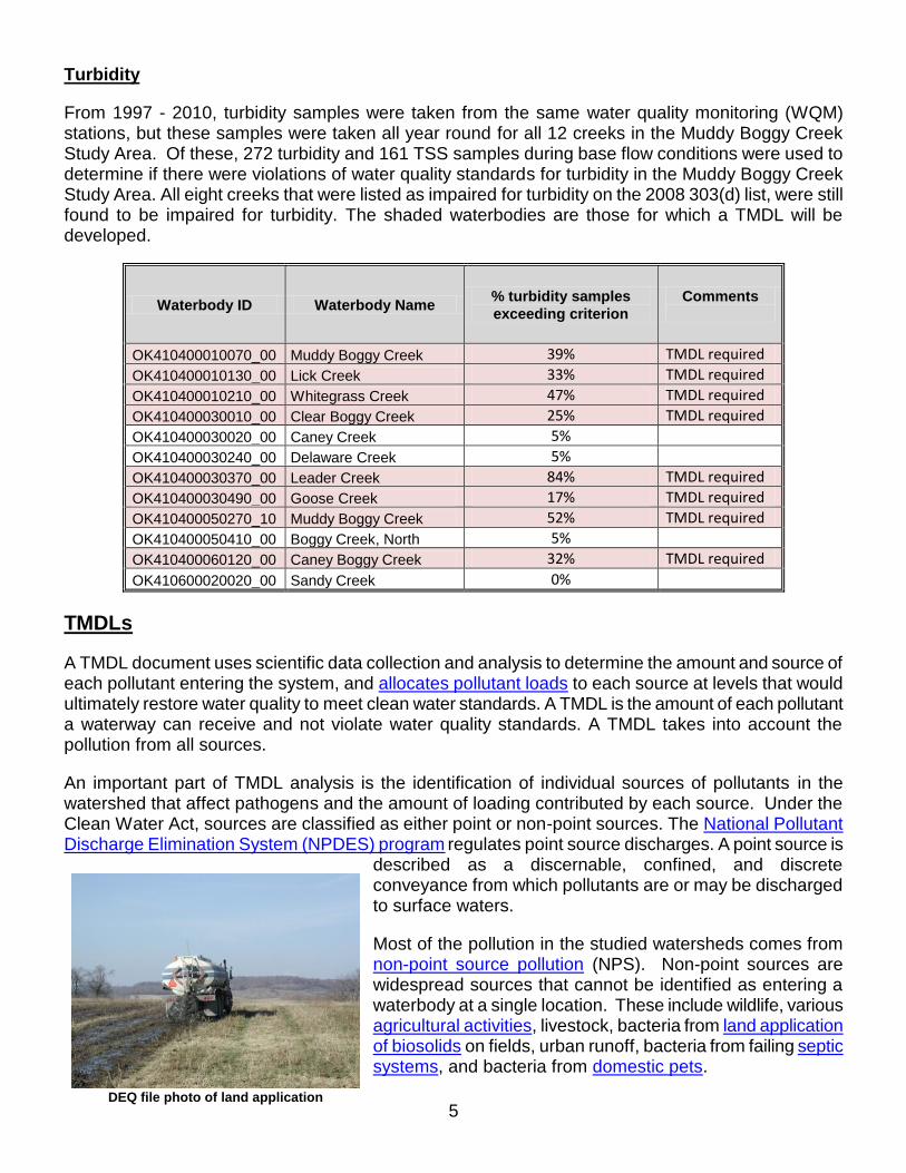
Most of the pollution in the studied watersheds comes from non-point source pollution (NPS). Non-point sources are widespread sources that cannot be identified as entering a waterbody at a single location. These include wildlife, various agricultural activities, livestock, bacteria from land application of biosolids on fields, urban runoff, bacteria from failing septic systems, and bacteria from domestic pets.
DEQ file photo of land application
6
Photo courtesy of the City of Raleigh, NC
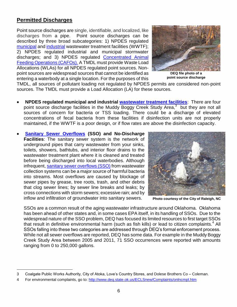
Permitted Discharges
Point source discharges are single, identifiable, and localized, like discharges from a pipe. Point source discharges can be described by three broad subcategories: 1) NPDES regulated municipal and industrial wastewater treatment facilities (WWTF); 2) NPDES regulated industrial and municipal stormwater discharges; and 3) NPDES regulated Concentrated Animal Feeding Operations (CAFOs). A TMDL must provide Waste Load Allocations (WLAs) for all NPDES regulated point sources. Non-point sources are widespread sources that cannot be identified as entering a waterbody at a single location. For the purposes of this TMDL, all sources of pollutant loading not regulated by NPDES permits are considered non-point sources. The TMDL must provide a Load Allocation (LA) for these sources.
NPDES regulated municipal and industrial wastewater treatment facilities: There are four point source discharge facilities in the Muddy Boggy Creek Study Area,
3 but they are not all
sources of concern for bacteria or TSS loading. There could be a discharge of elevated concentrations of fecal bacteria from these facilities if disinfection units are not properly maintained, if the WWTF is a poor design, or if flow rates are above the disinfection capacity.
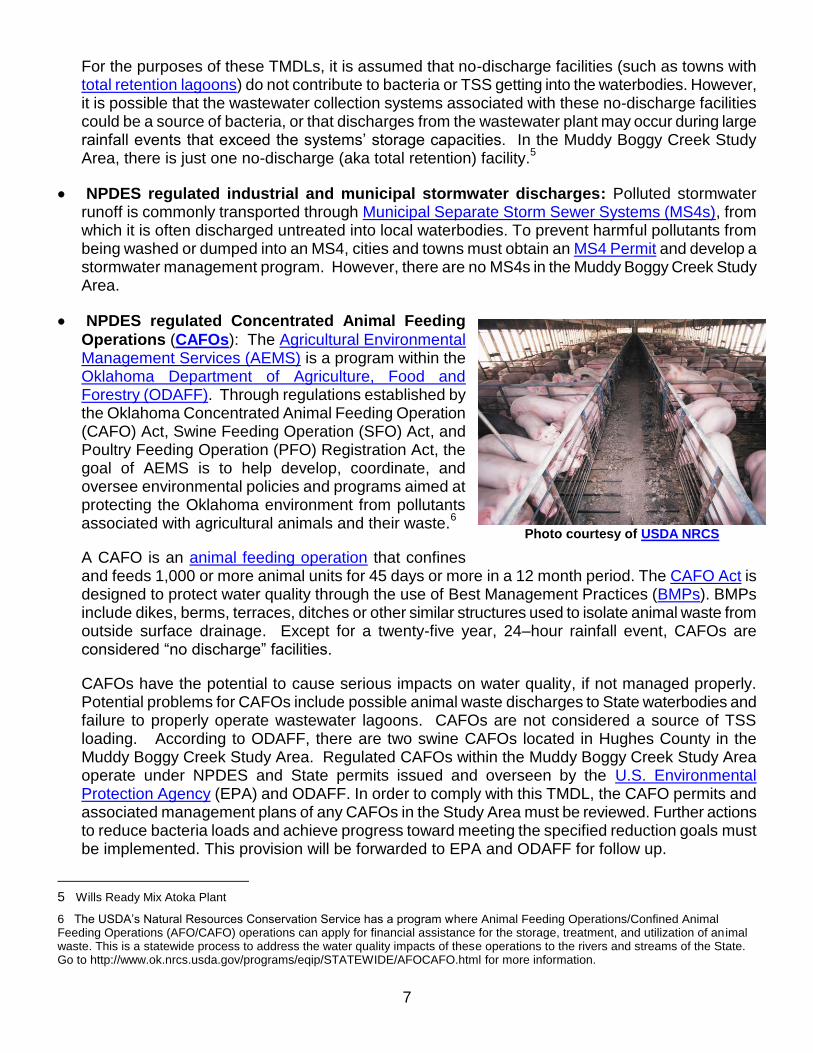
Sanitary Sewer Overflows (SSO) and No-Discharge
Facilities: The sanitary sewer system is the network of underground pipes that carry wastewater from your sinks, toilets, showers, bathtubs, and interior floor drains to the wastewater treatment plant where it is cleaned and treated before being discharged into local waterbodies. Although infrequent, sanitary sewer overflows (SSO) from wastewater collection systems can be a major source of harmful bacteria into streams. Most overflows are caused by blockage of sewer pipes by grease, tree roots, trash, and other debris that clog sewer lines; by sewer line breaks and leaks; by cross connections with storm sewers; excessive rain; and by inflow and infiltration of groundwater into sanitary sewers.
SSOs are a common result of the aging wastewater infrastructure around Oklahoma. Oklahoma has been ahead of other states and, in some cases EPA itself, in its handling of SSOs. Due to the widespread nature of the SSO problem, DEQ has focused its limited resources to first target SSOs that result in definitive environmental harm (such as fish kills) or lead to citizen complaints.
4 All
SSOs falling into these two categories are addressed through DEQ’s formal enforcement process. While not all sewer overflows are reported, DEQ has some data. For example in the Muddy Boggy Creek Study Area between 2005 and 2011, 71 SSO occurrences were reported with amounts ranging from 0 to 250,000 gallons.
3 Coalgate Public Works Authority, City of Atoka, Love’s Country Stores, and Dolese Brothers Co – Coleman.
4 For environmental complaints, go to: http://www.deq.state.ok.us/ECLSnew/Complaints/onlncmpl.htm
DEQ file photo of a
point source discharge
7
For the purposes of these TMDLs, it is assumed that no-discharge facilities (such as towns with total retention lagoons) do not contribute to bacteria or TSS getting into the waterbodies. However, it is possible that the wastewater collection systems associated with these no-discharge facilities could be a source of bacteria, or that discharges from the wastewater plant may occur during large rainfall events that exceed the systems’ storage capacities. In the Muddy Boggy Creek Study Area, there is just one no-discharge (aka total retention) facility.
5
NPDES regulated industrial and municipal stormwater discharges: Polluted stormwater runoff is commonly transported through Municipal Separate Storm Sewer Systems (MS4s), from which it is often discharged untreated into local waterbodies. To prevent harmful pollutants from being washed or dumped into an MS4, cities and towns must obtain an MS4 Permit and develop a stormwater management program. However, there are no MS4s in the Muddy Boggy Creek Study Area.
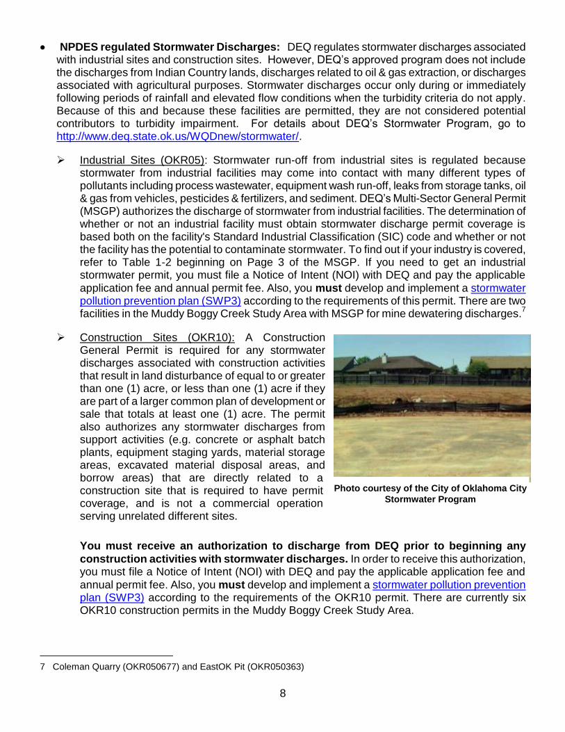
NPDES regulated Concentrated Animal Feeding
Operations (CAFOs): The Agricultural Environmental Management Services (AEMS) is a program within the Oklahoma Department of Agriculture, Food and Forestry (ODAFF). Through regulations established by the Oklahoma Concentrated Animal Feeding Operation (CAFO) Act, Swine Feeding Operation (SFO) Act, and Poultry Feeding Operation (PFO) Registration Act, the goal of AEMS is to help develop, coordinate, and oversee environmental policies and programs aimed at protecting the Oklahoma environment from pollutants associated with agricultural animals and their waste.
6
A CAFO is an animal feeding operation that confines and feeds 1,000 or more animal units for 45 days or more in a 12 month period. The CAFO Act is designed to protect water quality through the use of Best Management Practices (BMPs). BMPs include dikes, berms, terraces, ditches or other similar structures used to isolate animal waste from outside surface drainage. Except for a twenty-five year, 24–hour rainfall event, CAFOs are considered “no discharge” facilities.
CAFOs have the potential to cause serious impacts on water quality, if not managed properly. Potential problems for CAFOs include possible animal waste discharges to State waterbodies and failure to properly operate wastewater lagoons. CAFOs are not considered a source of TSS loading. According to ODAFF, there are two swine CAFOs located in Hughes County in the Muddy Boggy Creek Study Area. Regulated CAFOs within the Muddy Boggy Creek Study Area operate under NPDES and State permits issued and overseen by the U.S. Environmental Protection Agency (EPA) and ODAFF. In order to comply with this TMDL, the CAFO permits and associated management plans of any CAFOs in the Study Area must be reviewed. Further actions to reduce bacteria loads and achieve progress toward meeting the specified reduction goals must be implemented. This provision will be forwarded to EPA and ODAFF for follow up.
5 Wills Ready Mix Atoka Plant
6 The USDA’s Natural Resources Conservation Service has a program where Animal Feeding Operations/Confined Animal Feeding Operations (AFO/CAFO) operations can apply for financial assistance for the storage, treatment, and utilization of animal waste. This is a statewide process to address the water quality impacts of these operations to the rivers and streams of the State. Go to http://www.ok.nrcs.usda.gov/programs/eqip/STATEWIDE/AFOCAFO.html for more information.
Photo courtesy of USDA NRCS
8
NPDES regulated Stormwater Discharges: DEQ regulates stormwater discharges associated with industrial sites and construction sites. However, DEQ’s approved program does not include the discharges from Indian Country lands, discharges related to oil & gas extraction, or discharges associated with agricultural purposes. Stormwater discharges occur only during or immediately following periods of rainfall and elevated flow conditions when the turbidity criteria do not apply. Because of this and because these facilities are permitted, they are not considered potential contributors to turbidity impairment. For details about DEQ’s Stormwater Program, go to http://www.deq.state.ok.us/WQDnew/stormwater/.
Industrial Sites (OKR05): Stormwater run-off from industrial sites is regulated because stormwater from industrial facilities may come into contact with many different types of pollutants including process wastewater, equipment wash run-off, leaks from storage tanks, oil & gas from vehicles, pesticides & fertilizers, and sediment. DEQ’s Multi-Sector General Permit (MSGP) authorizes the discharge of stormwater from industrial facilities. The determination of whether or not an industrial facility must obtain stormwater discharge permit coverage is based both on the facility's Standard Industrial Classification (SIC) code and whether or not the facility has the potential to contaminate stormwater. To find out if your industry is covered, refer to Table 1-2 beginning on Page 3 of the MSGP. If you need to get an industrial stormwater permit, you must file a Notice of Intent (NOI) with DEQ and pay the applicable
application fee and annual permit fee. Also, you must develop and implement a stormwater pollution prevention plan (SWP3) according to the requirements of this permit. There are two facilities in the Muddy Boggy Creek Study Area with MSGP for mine dewatering discharges.
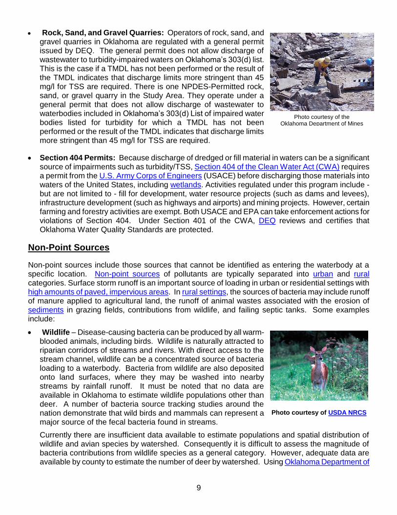
7
Construction Sites (OKR10): A Construction General Permit is required for any stormwater discharges associated with construction activities that result in land disturbance of equal to or greater than one (1) acre, or less than one (1) acre if they are part of a larger common plan of development or sale that totals at least one (1) acre. The permit also authorizes any stormwater discharges from support activities (e.g. concrete or asphalt batch plants, equipment staging yards, material storage areas, excavated material disposal areas, and borrow areas) that are directly related to a construction site that is required to have permit coverage, and is not a commercial operation serving unrelated different sites.
You must receive an authorization to discharge from DEQ prior to beginning any
construction activities with stormwater discharges. In order to receive this authorization, you must file a Notice of Intent (NOI) with DEQ and pay the applicable application fee and
annual permit fee. Also, you must develop and implement a stormwater pollution prevention plan (SWP3) according to the requirements of the OKR10 permit. There are currently six OKR10 construction permits in the Muddy Boggy Creek Study Area.
7 Coleman Quarry (OKR050677) and EastOK Pit (OKR050363)
Photo courtesy of the City of Oklahoma City
Stormwater Program
9
Photo courtesy of the Oklahoma Department of Mines
Rock, Sand, and Gravel Quarries: Operators of rock, sand, and gravel quarries in Oklahoma are regulated with a general permit issued by DEQ. The general permit does not allow discharge of wastewater to turbidity-impaired waters on Oklahoma’s 303(d) list. This is the case if a TMDL has not been performed or the result of the TMDL indicates that discharge limits more stringent than 45 mg/l for TSS are required. There is one NPDES-Permitted rock, sand, or gravel quarry in the Study Area. They operate under a general permit that does not allow discharge of wastewater to waterbodies included in Oklahoma’s 303(d) List of impaired water bodies listed for turbidity for which a TMDL has not been performed or the result of the TMDL indicates that discharge limits more stringent than 45 mg/l for TSS are required.
Section 404 Permits: Because discharge of dredged or fill material in waters can be a significant source of impairments such as turbidity/TSS, Section 404 of the Clean Water Act (CWA) requires a permit from the U.S. Army Corps of Engineers (USACE) before discharging those materials into waters of the United States, including wetlands. Activities regulated under this program include - but are not limited to - fill for development, water resource projects (such as dams and levees), infrastructure development (such as highways and airports) and mining projects. However, certain farming and forestry activities are exempt. Both USACE and EPA can take enforcement actions for violations of Section 404. Under Section 401 of the CWA, DEQ reviews and certifies that Oklahoma Water Quality Standards are protected.
Non-Point Sources
Non-point sources include those sources that cannot be identified as entering the waterbody at a specific location. Non-point sources of pollutants are typically separated into urban and rural categories. Surface storm runoff is an important source of loading in urban or residential settings with high amounts of paved, impervious areas. In rural settings, the sources of bacteria may include runoff of manure applied to agricultural land, the runoff of animal wastes associated with the erosion of sediments in grazing fields, contributions from wildlife, and failing septic tanks. Some examples include:
Wildlife – Disease-causing bacteria can be produced by all warm-blooded animals, including birds. Wildlife is naturally attracted to riparian corridors of streams and rivers. With direct access to the stream channel, wildlife can be a concentrated source of bacteria loading to a waterbody. Bacteria from wildlife are also deposited onto land surfaces, where they may be washed into nearby streams by rainfall runoff. It must be noted that no data are available in Oklahoma to estimate wildlife populations other than deer. A number of bacteria source tracking studies around the nation demonstrate that wild birds and mammals can represent a major source of the fecal bacteria found in streams.
Currently there are insufficient data available to estimate populations and spatial distribution of wildlife and avian species by watershed. Consequently it is difficult to assess the magnitude of bacteria contributions from wildlife species as a general category. However, adequate data are available by county to estimate the number of deer by watershed. Using Oklahoma Department of
Photo courtesy of USDA NRCS

10
Wildlife Conservation county data, the population of deer can be roughly estimated. By using this estimate and the percentage of the watershed area within each county, a wild deer population can be calculated for each watershed. For the Muddy Boggy Creek Study Area, this comes to about 4877 deer. This is an average deer per acre rate ranging from 0.0039 (Caney Boggy Creek) - 0.0143 (Clear Boggy Creek). At this minimal concentration, wildlife is considered to be a minor contributor of bacteria in the watersheds.
Agricultural Animals - Agricultural livestock grazing in pastures deposit manure containing bacteria onto land surfaces. Detailed information is not available to describe or quantify the relationship between in-stream concentrations of bacteria and land application of manure from commercially raised farm animals. Despite the lack of specific data, for the purpose of these TMDLs, land application of commercially raised farm animal manure is considered a potential source of bacteria loading to watersheds in the Muddy Boggy Creek Study Area.
Examples of livestock activities that can contribute to bacteria sources include:
Processed manure from livestock operations such as poultry facilities: This manure is often applied to fields as fertilizer and can contribute to fecal bacteria loading to waterbodies if washed into streams by runoff.
Livestock grazing in pastures: Livestock deposit manure containing fecal bacteria onto land surfaces. These bacteria may be washed into waterbodies by runoff.
Direct access to waterbodies by livestock: Livestock standing in or crossing streams can provide a direct concentrated source of fecal bacteria in the streams. In the Muddy Boggy Creek Study Area, cattle (an estimated 57,695 head) generate the largest amount of fecal coliform and often have direct access to streams and tributaries. The estimated numbers of livestock by watershed are based on the 2007 U.S. Department of Agriculture (USDA) county agricultural census data. The estimated farm animal populations were derived by using the percentage of the watershed within each county.
8
Failing Septic Systems – If a septic system is not working properly, then raw sewage - a concentrated source of bacteria - can go directly into streams. Bacteria loading from failing septic systems can be transported to streams in a variety of ways, including runoff from surface ponding or through groundwater. Bacteria-contaminated groundwater can also enter creeks through springs and seeps. It is estimated that there are 239 failing septic systems in the Muddy Boggy Creek Study Area.
9
8 Refer to the full TMDL report for the estimated number of all agricultural animals (Table 3-7) as well as their daily fecal
coliform production rates (Table 3-8).
9 Refer to the full TMDL report (Section 3.2.3) on how these numbers were calculated.
This cattle crossing keeps the cattle out of the
stream except at the time of crossing.
Photo courtesy of USDA NCRS
11
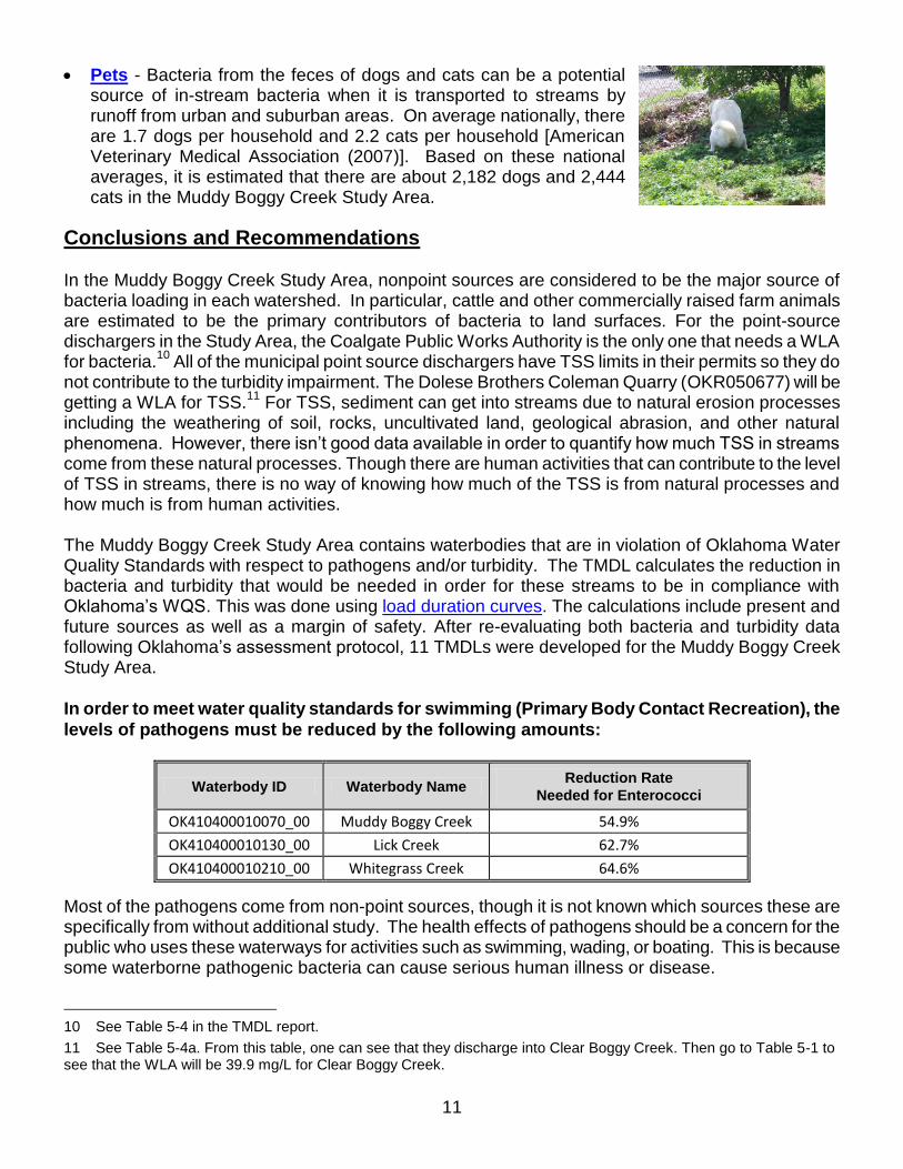
Pets - Bacteria from the feces of dogs and cats can be a potential source of in-stream bacteria when it is transported to streams by runoff from urban and suburban areas. On average nationally, there are 1.7 dogs per household and 2.2 cats per household [American Veterinary Medical Association (2007)]. Based on these national averages, it is estimated that there are about 2,182 dogs and 2,444 cats in the Muddy Boggy Creek Study Area.
Conclusions and Recommendations In the Muddy Boggy Creek Study Area, nonpoint sources are considered to be the major source of bacteria loading in each watershed. In particular, cattle and other commercially raised farm animals are estimated to be the primary contributors of bacteria to land surfaces. For the point-source dischargers in the Study Area, the Coalgate Public Works Authority is the only one that needs a WLA for bacteria.
10 All of the municipal point source dischargers have TSS limits in their permits so they do
not contribute to the turbidity impairment. The Dolese Brothers Coleman Quarry (OKR050677) will be getting a WLA for TSS.
11 For TSS, sediment can get into streams due to natural erosion processes
including the weathering of soil, rocks, uncultivated land, geological abrasion, and other natural phenomena. However, there isn’t good data available in order to quantify how much TSS in streams come from these natural processes. Though there are human activities that can contribute to the level of TSS in streams, there is no way of knowing how much of the TSS is from natural processes and how much is from human activities. The Muddy Boggy Creek Study Area contains waterbodies that are in violation of Oklahoma Water Quality Standards with respect to pathogens and/or turbidity. The TMDL calculates the reduction in bacteria and turbidity that would be needed in order for these streams to be in compliance with Oklahoma’s WQS. This was done using load duration curves. The calculations include present and future sources as well as a margin of safety. After re-evaluating both bacteria and turbidity data following Oklahoma’s assessment protocol, 11 TMDLs were developed for the Muddy Boggy Creek Study Area.
In order to meet water quality standards for swimming (Primary Body Contact Recreation), the
levels of pathogens must be reduced by the following amounts:
Waterbody ID Waterbody Name Reduction Rate
Needed for Enterococci
OK410400010070_00 Muddy Boggy Creek 54.9%
OK410400010130_00 Lick Creek 62.7%
OK410400010210_00 Whitegrass Creek 64.6%
Most of the pathogens come from non-point sources, though it is not known which sources these are specifically from without additional study. The health effects of pathogens should be a concern for the public who uses these waterways for activities such as swimming, wading, or boating. This is because some waterborne pathogenic bacteria can cause serious human illness or disease.
10 See Table 5-4 in the TMDL report.
11 See Table 5-4a. From this table, one can see that they discharge into Clear Boggy Creek. Then go to Table 5-1 to see that the WLA will be 39.9 mg/L for Clear Boggy Creek.
12
In order to meet water quality standards for turbidity, the levels of total suspended solids must be reduced by the following amounts:
Waterbody ID Waterbody Name Reduction Rate
OK410400010070_00 Muddy Boggy Creek 31.5%
OK410400010130_00 Lick Creek 64.0%
OK410400010210_00 Whitegrass Creek 74.2%
OK410400030010_00 Clear Boggy Creek 40.1%
OK410400030370_00 Leader Creek 85.2%
OK410400030490_00 Goose Creek 38.0%
OK410400050270_10 Muddy Boggy Creek 57.8%
OK410400060120_00 Caney Boggy Creek 44.2%
Providing comments The comment period will be open for 45 days. If you have any concerns regarding these proposed
limits, please submit your comments in writing by September 10, 2012 to: Dr. Karen Miles Watershed Planning Water Quality Division Oklahoma Department of Environmental Quality P.O. Box 1677 Oklahoma City, OK 73101-1677 (405) 702-8192 E-mail: [email protected]
Comments must be received by close of business on September 10, 2012 You may also request a public meeting in writing. If there is a significant degree of interest, the Department of Environmental Quality will schedule a public meeting. After evaluating comments received and making any necessary changes, the modification will be submitted to EPA for final approval. The final results of the TMDL will be incorporated into Oklahoma’s Water Quality Management Plan.
Obtaining copies You may view the study this TMDL was based on by going to the DEQ website at: http://www.deq.state.ok.us/WQDnew/tmdl/index.html or pick up copies of the studies at the DEQ main office, Water Quality Division, 707 North Robinson, Oklahoma City from 7:30 am – 5:00 pm. A document copying fee may apply.
You are receiving this notice because you are either on DEQ’s list to receive all public notices about changes in this watershed or you are located downstream from the watershed where changes have been recommended.
This notice is for informational purposes only; it is not to be published in the legal section of
newspapers. If you are receiving this notice in error, are getting multiple notices, or do not want to
receive future notices, please let us know.
If you are receiving this in paper form, please help save money and the environment by receiving the notice in PDF format via e-mail. In addition to helping the environment, you will be able to click on helpful FYI hyperlinks. Just send your e-mail address to [email protected].