real-time wildfire intelligence
TRANSCRIPT
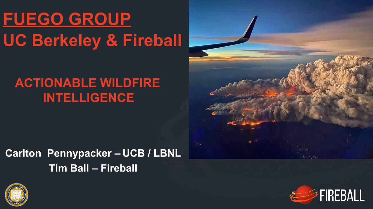
Carlton Pennypacker – UCB / LBNLTim Ball – Fireball
ACTIONABLE WILDFIRE INTELLIGENCE
FUEGO GROUPUC Berkeley & Fireball

FUEGO INTEL ROADMAPINTEGRATING VERTICAL TIERS• MOUNTAIN-TOP CAMERA NETWORK• SPACE-BASED DETECTIONS
DEDICATED CONSTANT STARE SATELLITE• GEO-STATIONARY / CONTINUOUS FIRE DETECTION• Compared to GOES-R
200X SMALLER FIRE 5X FASTER REPORTING
AIRBORNE FIRE CHARACTERIZATION & MAPPING SYSTEM• Improve SCIENCE & OPERATIONAL Understanding• High Dynamic Range in key emissions bands• NON-SATURATING

Prediction from 2013 (CalAdapt): Last 4 years has seen much of what was predicted for the 2080’s
Fuels becoming denser and drier
LAND MANAGEMENT PROBLEM
Predicted increase in fire frequency and intensity

WILDFIRE BEHAVIOUR IS OFF THE CHARTS ALREADY EXCEEDING THE SEVERITY PREDICTED FOR 2080
Damage Focus: The Wildland-Urban Interface (WUI); Home
To Many Low- And Fixed-income Folks.
Fires were the source of more than 10% of the net CO2 emission from California in 2020.
SOCIETAL PROBLEM
There Is Positive Feedback Between Fires And Global Warming Via Both CO2 And Soot
“The Harvard Study found that low-income workers of color were more
vulnerable to smoke, Covid and their combination.
So it's an environmental justice issue that our society should be dealing with.”
John Balmes Pulmonologist UCSF, & CARB
COVID & SMOKE INTERACTION*16% greater impact on low-income people of color
*Smoke increased Covid Case and Death Counts in Western US summer 2020. (F. Dominici, 2021, Harvard School of Public Health, in Press)

THE COST-EFFECTIVE KEYS:
Large Terrestrial Camera Networks Machine Learning
Constant Stare of Geo-stationary SatellitesAI-based change detection
Early Detection Aggressive Response

FUEGO CAMERA
False Positive Rate less than 1 per 1 million images (0.0001%)Fires taking longer than 10 minutes within 10 miles, less than 1 per 4 million images
Machine Learning Smoke DetectionCloud and Edge Computing
Large Camera Networks

WHAT WE’RE HEARINGFuego pinpoints the
origin of fires and gives
us the earliest ability to
assess the threat.
FUEGO’s detections are
delivered to the field , in
the format we require,
24x7 … for us FUEGO
technology is a game
changer.
Deputy Chief
Kern County Fire
GOES Detect
VIIRS Detect

FUEGO – GEOSTATIONARY RATIONAL
Detection: >8s for 30 m2 of flame >1000°K (800 °C)
200 x smaller fire than GOES-R detects
Effective Ground Sample Distance < 300 meters
10 Second Cadence 30 times faster than GOES CONUS
Time from ignition to attack is crucial Prioritization between fires is essential Continuous automated monitoring from constant stare is indispensable (for both new & existing fires) Monitor ties into weather forecast, fuels, position on terrain, highlighting risk
Cost Effective
ROM = $220 M for 10 year operation, all-up
> 220 Million Hectares
$0.01 per thousand hectare/hour -- continuousFor Comparison
Inexpensive Jet $2000/hr. @ 35,000 ft. AGL with 120 ° FOV
Maps 2 Million Hectares per hour Cost = $1.00 per thousand hectares

FUEGO – GEOSTATIONARY SPECSGeo-stationary Free-Flyer Over Western US
> 220 Million hectare field of regard
Pointing Mirror: Field of Regard can be re-positioned
Bands: RGB, 3.9µm, 10.2µm
4K x 4K MCT Array, 10 micron pitch
Focal Length: 1000 mm (2.35 degree FOV)
Optics: f/4
Effective GSD: < 300 meters (dithered for bpr)
Should be possible to id pixel quadrant
Array readable @ 100 Hz; planned read 0.5 Hz
Simple image processing & compression on-board
Transmit cadence: Every 10 Seconds -- 40 Mb/S or less
All-up ROM for 10 year operation: $220M
Detection: >8s for 30 m2 at 1000°K

AIRBORNE FIRE CHARACTERIZATION & MAPPING SYSTEM
Improve SCIENTIFIC & OPERATIONAL understanding of fire behavior
8 Mid-Wave Bands2400 Cross-track Pixels
1 Longwave Band 1280 Cross-track Pixels
Helicopter-borne follows fire front for science missions
Fixed Wing for Operational Mapping
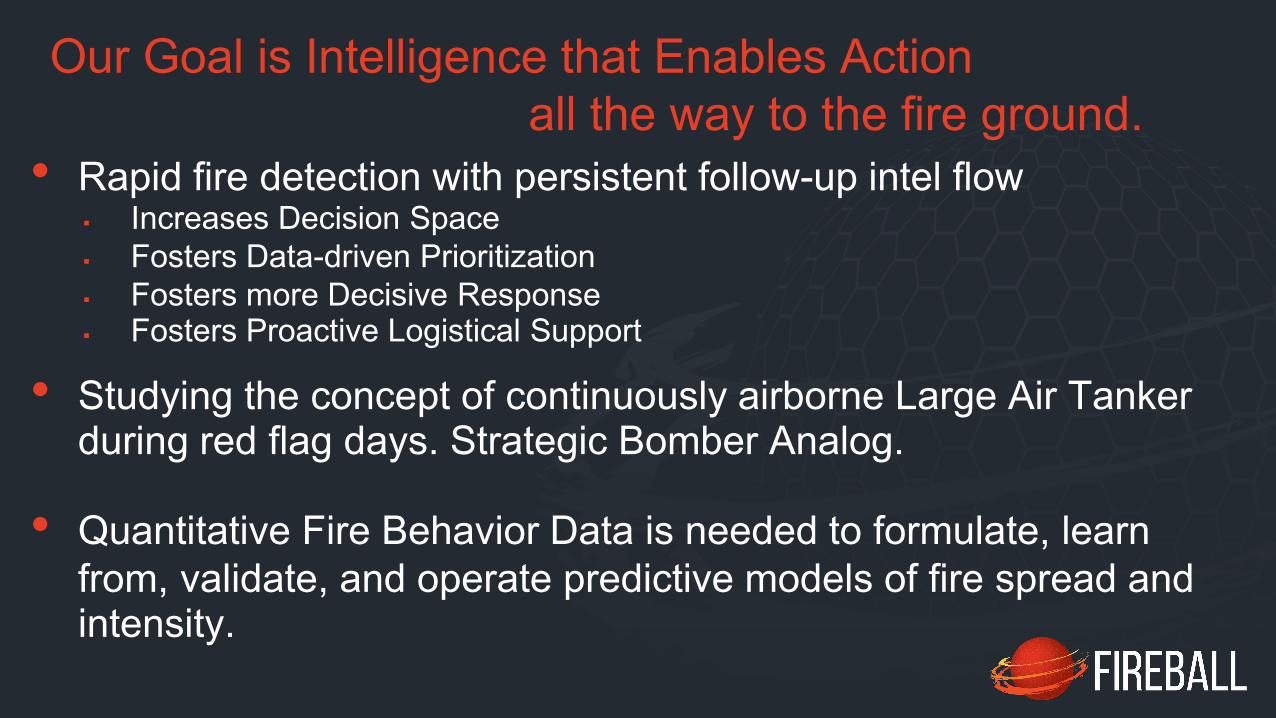
• Rapid fire detection with persistent follow-up intel flow
Our Goal is Intelligence that Enables Actionall the way to the fire ground.
Increases Decision Space Fosters Data-driven Prioritization Fosters more Decisive Response Fosters Proactive Logistical Support
• Quantitative Fire Behavior Data is needed to formulate, learn from, validate, and operate predictive models of fire spread and intensity.
• Studying the concept of continuously airborne Large Air Tanker during red flag days. Strategic Bomber Analog.

The FUEGO GroupEd Wishnow (UCB – Space Sciences Lab)Harald Frey (UCB – Space Sciences Lab)Greg Dalton (UCB – Space Sciences Lab)Kodi Rider (UCB – Space Sciences Lab)Cathy Chou (UCB – Space Sciences Lab)Mike Lampton (UCB – Space Sciences Lab)Chris Schmidt (Univ. of Wisconsin – SSEC & GOES)Chaincy Kuo (Fireball)Rob Gordon (Fireball)Janis Lesinskis (Fireball)Marek Jakubowski (Fireball)Kent Richards (Fireball)Itsi Weinstock (Fireball)
Morgan Welch (LBL Affiliate)Kinshuk Govil (LBL Affiliate)Michael Chan (LBL Affiliate)

SUPPORT COMES FROM:
LOCAL FIRE-SAFE COMMUNITY COUNCILS
