roundtable - un-ggim
TRANSCRIPT

RoundtableAvailability, accessibility, application, provenance, privacy and protection
of geospatial information
2019-08-06Side event at the Ninth Session of the United Nations Committee of Experts on Global Geospatial
Information Management, United Nations Headquarters in New York
#UNGGIM #WEAREHERE
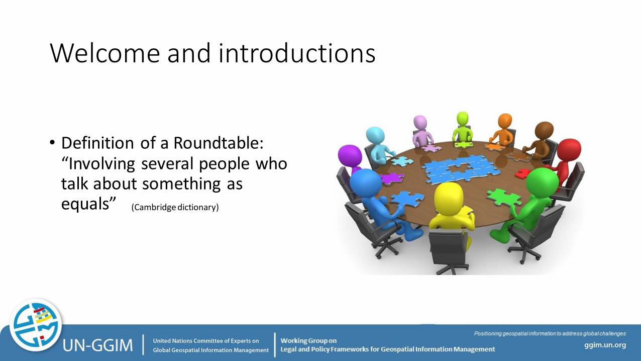
Welcome and introductions
• Definition of a Roundtable: “Involving several people who talk about something as equals” (Cambridge dictionary)

Setting the Scene
• Objectives for the Working Group
• Use case exercise
• Initial findings
• Conclusion1. Input from more countries
2. Contrast the initial findings with other use cases

Method
• The United Nations Integrated Geospatial Information Framework (IGIF)
• Implementation Guide, Strategic Pathway 2 (SP2)

Method
1. Assess Existing Policy and Legal Framework
2. Identify and analyze Gaps and opportunities
3. Address Gaps and opportunities
4. Future Proof Policy and Legal Frameworks
5. Address Policy Coherence and Legal Interoperability
WhatWhoHowWhy
Goal
Based on users need• Use cases• Table top exercises
Based on national strategies• Digital transformation• Prioritized utility areas for
Geospatial Information
Desired framework
Existing Framework
GAP

Analysis of the “architecture” of data sharing
Collect or Produce
Store Distribute UseArchive or
erase
Information Management Ecosystem
Business process
Business development process
Law and policy development process
WhatWhoHowWhy
Goal +

Basic steps in legal and policy analysis of data sharing
Governance and Accountability
Data protection, Licensing and Sharing
Legal and policy basis for authority
Confidentiality
Privacy
Use restrictions
Security

About the Roundtable
Aim
• To consider results, opportunities and options, based on initial results from the WG.
• Raise awareness and importance of partnerships with other countries and other partners, academia and commercial sector (Academic Network, PSN, WGIC)
Expected outcome
• A report with input to a White Paper on legal and policy issues around sharing of geospatial data across borders.

Agenda for the Roundtable
13:30-14:00 Welcome and introductions
14:00-14:45 Panel #1 Use case exercise to address sharing of geospatial data across borders
14:45-15:30 Panel #2 IGIF Strategic Pathway 2 Policy and Legal and the geospatial community
Break 30 min
16:00-16:45 Panel #3 Privacy of Geo-location Data
16:45-17:30 Panel #4 Enabling regional collaboration and applications
17:30-18:00 Summary and wrap up
#UNGGIM #WEAREHERE

Panel #1 Use case exercise to address sharing of geospatial data across bordersModerator: Mr. Kevin Pomfret (Centre for Spatial Law and Policy)
Introduction: Mr. Kevin Pomfret
Panel: Ms. Xu Kun/Mr. Zhang Feng (Ministry of Natural Resources, China) Mr. Durwin Humphrey (Guyana Lands Survey Commission)Ms. Rosamond Bing (Ministry of Land and Natural Recourses, Tonga)

Panel #2 IGIF Strategic Pathway 2 Policy and Legal and the geospatial communityModerator: Mr. Steven Hagan (Private Sector Network/Oracle)
Introduction: Ms. Malgorzata Drewniak (Lantmäteret, Sweden)
Panel: Mr. Mark Richardt (Open Geospatial Consortium)Prof. Dieter Fritsch (Hexagon)

Break

Panel #3 Privacy of Geo-location Data
Moderator: Ms. Barbara Ryan (WGIC)
Introduction: Mr. Arnout Desmet (TomTom, Chair – WGIC Policy Committee)
Panel: Mr. Zaffar Mohamed-Ghouse (SpatialVision)Mr. Jim Steiner (Oracle)Mr. Jim Van Rens (Riegl)

Panel #4 Enabling regional collaboration and applicationsModerator: Mr. Simon Costello (Geoscience Australia)
Introduction: Mr. Simon Costello
Panel: Mr. Prashant Shukle, (Natural Resource Canada)Ms. Eydís Líndal Finnbogadóttir (National Land Survey of Iceland)Mr. Sebastian Carisio (National Geospatial Intelligence Agency, USA)

Summary and Wrap-up