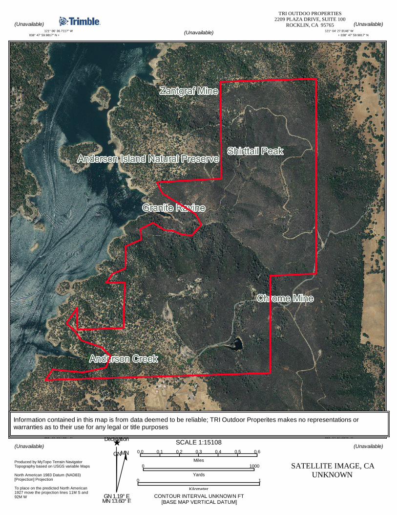
satellite image, ca
TRANSCRIPT
(Unavailable)
(Unavailable)
(Unavailable)
(Unavailable)
(Unavailable)
(Unavailable)
(Unavailable)
(Unavailable)
CONTOUR INTERVAL UNKNOWN FT[BASE MAP VERTICAL DATUM]
SCALE 1:151080.0 0.1 0.2 0.3 0.4 0.5 0.6
Miles0 1000
Yards0 1
Kilometer
Declination
MN 13.60° EGN 1.19° E
MNGN
SATELLITE IMAGE, CAUNKNOWN
121° 04' 27.9146" W
121° 04' 27.9146" W+ 038° 47' 59.9817" N
+ 038° 46' 14.4551" N038° 46' 14.4551" N +
038° 47' 59.9817" N +
121° 06' 36.7117" W
121° 06' 36.7117" W
Produced by MyTopo Terrain NavigatorTopography based on USGS variable Maps
North American 1983 Datum (NAD83)[Projection] Projection
To place on the predicted North American 1927 move the projection lines 11M S and 92M W
TRI OUTDOO PROPERTIES2209 PLAZA DRIVE, SUITE 100
ROCKLIN, CA 95765
Printed: Wed Feb 22, 2017
Information contained in this map is from data deemed to be reliable; TRI Outdoor Properites makes no representations or warranties as to their use for any legal or title purposes