scotland’s environment web ‘the gateway to everything you want to know about scotland’s...
DESCRIPTION
Scotland’s Environment Web ‘The gateway to everything you want to know about Scotland’s environment’. Some of the existing partners: Scottish Government (SG) Scottish Environment Protection Agency (SEPA) Scottish Natural Heritage (SNH) Historic Scotland (HS) - PowerPoint PPT PresentationTRANSCRIPT

Scotland’s Environment Web‘The gateway to everything you want to know
about Scotland’s environment’Some of the existing partners:
• Scottish Government (SG)• Scottish Environment Protection Agency (SEPA)• Scottish Natural Heritage (SNH)• Historic Scotland (HS)• Forestry Commission Scotland (FCS)• James Hutton Institute (JHI)• Marine Scotland (MS)• RAFTS• COSLA


Themed Maps• Developed to support State of Environment report
• A real time report of the state of Scotland’s environment to the EU
• Constructed from 30 existing Web services – used by the map, not owned by the maps
• Development of additional applications (sourced from partners) in the future


Scotland’s Environment web:LIFE+ funding
Phase 2
‘Working together to prioritise environmental issues and help deliver a better environment for
us all.’

• A single point of access to multiple sources of data on Scotland’s Environment
• Creating tools to support the analysis and interpretation of data
• Improved access to environmental data and information
• Tools and an online platform to support public engagement and citizen science/action
Organisations working together for environmental protection and improvement in Scotland.
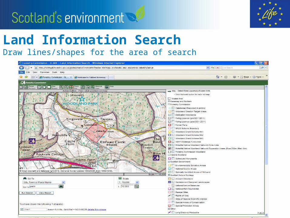
Land Information Search Draw lines/shapes for the area of search

The report provides a list of all the corresponding land designations that are contained within or close to the line or shape.

Generic Search Model V0.1
User
Map Scale Zoom functionReset Function
Screen Size
Map DisplayMap Gateway
Select WHEREGrid Ref
Place namePostcode etc
Map Scale Functions
Measure / Draw Area
Sele
ct F
unct
iona
lity
Formatted report of the
measured area
Scottish Government
Select web services
SEPA
Hydro Scheme
Web ServiceHistoric
Scotland
Web Services Data
Visit Scotland
FCS
Local AuthoritiesMet Office
British Geological
Survey
Add to Map viewer
Map Layers
SNH
SNH
FCS
Scottish Government
British Geological
Survey
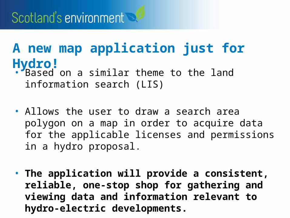
A new map application just for Hydro!
• Based on a similar theme to the land information search (LIS)
• Allows the user to draw a search area polygon on a map in order to acquire data for the applicable licenses and permissions in a hydro proposal.
• The application will provide a consistent, reliable, one-stop shop for gathering and viewing data and information relevant to hydro-electric developments.
Hydro Application – Next stage• Increasing the number of data sharing partners• Those relevant to hydro development
• Ensuring the data in the applications is up to date and efficiently maintained
• Ensuing accuracy of data
• Get in touch with the SEWeb Team to get involved:[email protected]

Any Questions
• Please approach our staff at the SHN / SEPA exhibition stand in the foyer area outside.
• Thank you