seascapes: getting to know the sea around us
TRANSCRIPT
SEASCAPES: Getting to Know the Sea Around Us
A Guide to Characterizing Marine and Coastal Areas
Quebec-Labrador Foundationatlantic center for the environment
2 n Introduction SEASCAPES: Getting to Know the Sea Around Us
© 2008 Quebec-Labrador Foundation, Inc.
Acknowledgments
Project Manager Jennifer Atkinson, Quebec-Labrador Foundation/Atlantic Center for the Environment
Working Group Coordinator Tracy Hart, Maine Sea Grant
Project Working Group William Ambrose, Heather Deese, Michele Dionne, Molly Docherty, Lee Doggett, Stewart Fefer, Jill Fegley, Edward Hawes, Anne Hayden, Elizabeth Hertz, Carol Janzen, John Lichter, Linda Mercer, Slade Moore, Joe Payne, Neal Pettigrew, Linda Rowe, John Sowles, Andrew Thomas, Sean Todd, Barbara Vickery, Richard Wahle, Huijie Xue, Steve Zeeman
Text Reviewers Barbara Arter, Jay Astle, Seth Barker, Deborah Chapman, Charles Curtin, Heather Deese, Michele Dionne, Tracy Hart, Edward Hawes, Anne Hayden, Kathleen Leyden, Linda Mercer, Slade Moore, Joe Payne, Craig Pendleton, Kristen Puryear, Laura Singer, Barbara Vickery, Steve Walker
Writer Peter H. Taylor, Waterview Consulting
Designer Kathlyn Tenga-González, Maine Sea Grant
Research Assistant Elizabeth Stephenson
Cover Photo Michael Rickard, Shutterstock
Produced by the Quebec-Labrador Foundation, Inc. with funding in part from the Gulf of Maine Council on the Marine Environment, National Oceanic and Atmospheric
Administration Award No. NA04OAR4600075 and NA05OAR46011152,and the generous support of the Davis Conservation Foundation, Maine Sea Grant,
Maine Coastal Program, Surdna Foundation, and Wallis Foundation.
Please cite this document as:Taylor, Peter H. and Jennifer Atkinson. 2008. Seascapes: Getting to Know the Sea Around Us. A Guide to Characterizing Marine and Coastal Areas. Quebec-Labrador Foundation, Inc. www.qlf.org. 80 pp.
Quebec-Labrador Foundationatlantic center for the environment
SEASCAPES: Getting to Know the Sea Around Us Introduction n 3
Foreword
I once heard Maine described as the most “local” state in the nation. The vitality of the citizen conservation and resource management movement really underscores that sentiment. We have a wealth of small land trusts, watershed groups, lake associations, and conservation committees. In recent years, there also seem to be more and more saltwater friends groups, alliances, and resource centers focusing on coastal and ocean waters. For many reasons, people are increasingly interested in the harbors, bays, and sounds along our coast.
A group that decides to focus its energy on a particular place—whether marine or terrestrial—usually decides at some point that they need to describe it from both an ecological and a human-use perspective. In fact, I suspect that is why many of you reading this page are sitting down with Seascapes.
If your place is terrestrial, there is a small army of people and resources available to assist and support you. There are professionals who conduct ecological inventories, as well as a range of acceptable protocols and standards for these studies. There are government agencies and non-government organizations that track important habitats and species. Other ones monitor and report on uses and use trends. Maine has a number of GIS service centers with well-developed mapping capacities. There are larger institutions that can act as partners and help to leverage extra expertise and resources. We are also fortunate in New England to have private donors, government programs, and charitable foundations, which target their giving to support terrestrial inventories and the collection, storage, and communication of information necessary to produce them.
If your place is salty and wet, however, you are starting from scratch. Or you were, until the development of this guide. Although Seascapes doesn’t provide area-specific, ready-made information, maps, or datasets, it does provide readers with a better understanding about what it is they need to know and where they can look for it.
Before this guide, groups couldn’t make much progress in characterizing a marine area unless they hooked up with a larger institutional partner who could guide and direct the study, provide resources, and help secure funding. Not all areas of the coastal sea, however, command the same level of attention or interest of these bigger players. Some areas, although of tremendous interest and concern to those living in them, aren’t often on the radar screen of experts addressing state, regional, or national issues. Without a major partner, even finding authoritative information about what a marine area characterization is can pose a formidable obstacle.
Seascapes hopes to ease this challenge by providing a reliable and accessible overview of what constitutes a comprehensive characterization, as well as ideas for finding, developing, and communicating data from these projects. The ideas presented here are based on the experiences of experts who come from many of the state’s leading marine and coastal institutions, including federal and state agencies, universities and colleges, and non-government organizations. Over 20 representatives from these groups came together over a year-long series of workshops to develop the recommendations in this guide. They had no model or road map for what had to be in it. What is found in these pages is based on their combined knowledge, experi-ence, and judgment, as well as information about a variety of characterization-related projects that have taken place in recent years in the Gulf of Maine and beyond. Although their recommendations apply well beyond this one state, the appendix of sources was developed with just Maine projects in mind. Additional appendices could be created, however, to extend the guide’s benefits to other states and provinces.
As a bi-national conservation and community service organization, QLF/Atlantic Center for the Environ-ment would welcome the transfer of this resource to other areas in its programming region. For readers unfamiliar with QLF, it may be surprising to hear that it is a 50-year-old organization. With small headquar-ters in Ipswich, Massachusetts and Montreal, Quebec, QLF programs take place all over New England and eastern Canada in response to the needs of rural, resource-dependent communities. Our Marine Program,
4 n Introduction SEASCAPES: Getting to Know the Sea Around Us
which began in 2002, advances community-based management of marine resources and areas through technical assistance, capacity-building, policy development, and education. QLF also has a robust suite of international programs which facilitate peer-to-peer learning between natural and cultural heritage professionals in our home region and in Central and Eastern Europe, the Middle East, Latin America, and the Caribbean. To learn more about QLF, visit our Web site at www.qlf.org.
For QLF’s Marine Program here in Maine, Seascapes is a start, as well as an experiment. In offering this resource, we join all those who helped produce it in acknowledging that there is still much to be learned about marine characterization studies and how to provide useful guidance about them. We recognize that even with this introduction to the work, your real challenge is the one ahead—planning, preparing for, and implementing a study in your marine area.
And to that list we have one more task to add. Please consider helping us improve this guide in the future. Its real value will only be revealed when it is put to the test. So when you get the time and inspi-ration, send us your comments, ideas, new sources, or any other information you think would improve the utility of Seascapes. We will do our best to incorporate your suggestions as soon as we can.
Jennifer Atkinson, DirectorMarine Program October, 2007 QLF/Atlantic Center for the Environment28 Martin Point Rd.Friendship, ME [email protected]
SE
Table of Contents
Overview ...................................................................................................................................................................................................................7
S
S
S
ection 1 Introduction ........................................................................................................................................................................................9
ASCAPES: Getting to Know the Sea Around Us Introduction n 5
Background .............................................................................................................................................................................................................9
What Is a Marine Area Characterization? ............................................................................................................................................ 11
Who Performs a Marine Area Characterization? .............................................................................................................................. 12
Why Conduct a Marine Area Characterization?................................................................................................................................ 12
Examples of Marine Area Characterization Projects ....................................................................................................................... 13
ection 2 A Course of Action for Marine Area Characterization ...........................................................................................19
Overview ................................................................................................................................................................................................................ 19
Planning ................................................................................................................................................................................................................. 19
Developing Tools and Acquiring Resources ........................................................................................................................................23
Conducting the Characterization ..............................................................................................................................................................23
ection 3 Components of a Marine Area Characterization .......................................................................................................31
Overview ................................................................................................................................................................................................................ 31
Oceanographic and Physiographic Components .............................................................................................................................32
O1 Marine Area Boundaries, Major Geographic Features, and Habitats .......................................................................32
O2 Substrate Types (see also B2 Habitats) ....................................................................................................................................32
O3 Bathymetry ..............................................................................................................................................................................................33
O4 Circulation and Currents ..................................................................................................................................................................33
O5 Tides, Tidal Currents ..........................................................................................................................................................................34
O6 Winds .........................................................................................................................................................................................................34
O7 Sea Level ...................................................................................................................................................................................................35
O8 Vertical Profiles of Temperature, Salinity, and Density .....................................................................................................35
Biological Components ..................................................................................................................................................................................35
B1 Historical Perspective on Ecological Changes ........................................................................................................................35
B2 Habitats .....................................................................................................................................................................................................36
B3 Plants and Animals ...............................................................................................................................................................................37
B3.1 Phytoplankton .............................................................................................................................................................................38
B3.2 Macrophytes ...............................................................................................................................................................................38
B3.3 Invertebrates ................................................................................................................................................................................39
B3.4 Fish ...................................................................................................................................................................................................40
B3.5 Marine Birds ................................................................................................................................................................................41
B3.6 Marine Mammals and B3.7 Sea Turtles ........................................................................................................................42
6 n Introduction SEASCAPES: Getting to Know the Sea Around Us
Human Dimensions Components ............................................................................................................................................................42
H1 Human Population ..............................................................................................................................................................................43
H2 Community Economic Profile .........................................................................................................................................................43
H3 Land Ownership ....................................................................................................................................................................................43
H4 Land Use and Land Cover ................................................................................................................................................................43
H5 Fisheries and Fishing Industries .....................................................................................................................................................43
H6 Maritime Transport and Commerce ..........................................................................................................................................44
H7 Marine Research and Monitoring Sites and Facilities ........................................................................................................44
H8 Transportation Infrastructure ........................................................................................................................................................44
H9 Manufacturing Sites ............................................................................................................................................................................44
H10 Natural Resource Use ......................................................................................................................................................................44
H11 Residential Development ...............................................................................................................................................................44
H12 Recreation (Individual, Commercial) .......................................................................................................................................44
H13 Public and Private Waterfront Access .....................................................................................................................................45
H14 Protected/Conserved/High-Value Natural Areas ..............................................................................................................45
H16 Tidal Restrictions and Barriers to Fish Passage .................................................................................................................45
H17 Riparian Buffers ..................................................................................................................................................................................45
H18 Habitat Restoration Project Sites ..............................................................................................................................................45
H19 Significant Cultural Sites (Prehistoric, Historical, Current) .........................................................................................45
H20 Point Source Pollution (Known or Potential) ......................................................................................................................45
H21 and H22 Management and Regulatory Frameworks for Shore and Water .........................................................45
Appendix A Maine Information Sources ...............................................................................................................................................47
Oceanographic and Physiographic Components .............................................................................................................................47
Biological Components ..................................................................................................................................................................................53
Human Dimensions Components ............................................................................................................................................................67
SEASCAPES: Getting to Know the Sea Around Us Introduction n 7
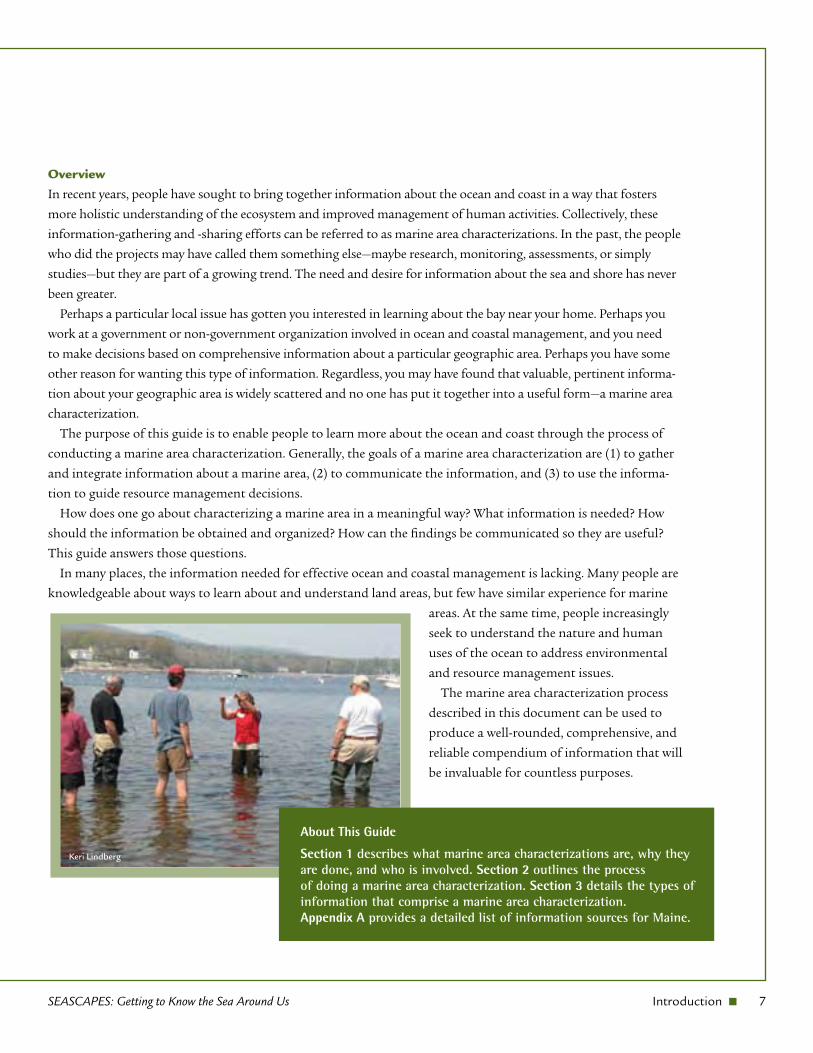
Overview
In recent years, people have sought to bring together information about the ocean and coast in a way that fosters
more holistic understanding of the ecosystem and improved management of human activities. Collectively, these
information-gathering and -sharing efforts can be referred to as marine area characterizations. In the past, the people
who did the projects may have called them something else—maybe research, monitoring, assessments, or simply
studies—but they are part of a growing trend. The need and desire for information about the sea and shore has never
been greater.
Perhaps a particular local issue has gotten you interested in learning about the bay near your home. Perhaps you
work at a government or non-government organization involved in ocean and coastal management, and you need
to make decisions based on comprehensive information about a particular geographic area. Perhaps you have some
other reason for wanting this type of information. Regardless, you may have found that valuable, pertinent informa-
tion about your geographic area is widely scattered and no one has put it together into a useful form—a marine area
characterization.
The purpose of this guide is to enable people to learn more about the ocean and coast through the process of
conducting a marine area characterization. Generally, the goals of a marine area characterization are (1) to gather
and integrate information about a marine area, (2) to communicate the information, and (3) to use the informa-
tion to guide resource management decisions.
How does one go about characterizing a marine area in a meaningful way? What information is needed? How
should the information be obtained and organized? How can the findings be communicated so they are useful?
This guide answers those questions.
In many places, the information needed for effective ocean and coastal management is lacking. Many people are
knowledgeable about ways to learn about and understand land areas, but few have similar experience for marine
areas. At the same time, people increasingly
seek to understand the nature and human
uses of the ocean to address environmental
and resource management issues.
The marine area characterization process
described in this document can be used to
produce a well-rounded, comprehensive, and
reliable compendium of information that will
be invaluable for countless purposes.
About This Guide
Section 1 describes what marine area characterizations are, why they are done, and who is involved. Section 2 outlines the process of doing a marine area characterization. Section 3 details the types of information that comprise a marine area characterization. Appendix A provides a detailed list of information sources for Maine.
Keri Lindberg
Kerry Muzzey/Shutterstock
jackweichen_gatech/Shutterstock
Judy Crawford/Shutterstock
Donald Linscott/Shutterstock
Amy K Halucha/Shutterstock
Jo Ann Snover/ Shutterstock
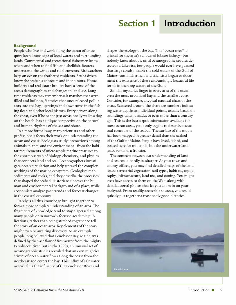
BackgroundPeople who live and work along the ocean often ac-quire keen knowledge of local waters and surrounding lands. Commercial and recreational fishermen know where and when to find fish and shellfish. Boaters understand the winds and tidal currents. Birdwatchers keep an eye on the feathered residents. Scuba divers know the seabed’s contours and inhabitants. Home-builders and real estate brokers have a sense of the area’s demographics and changes in land use. Long-time residents may remember salt marshes that were filled and built on, factories that once released pollut-ants into the bay, upswings and downturns in the fish-ing fleet, and other local history. Every person along the coast, even if he or she just occasionally walks a dog on the beach, has a unique perspective on the natural and human rhythms of the sea and shore.
In a more formal way, many scientists and other professionals focus their work on understanding the ocean and coast. Ecologists study interactions among animals, plants, and the environment—from the habi-tat requirements of microscopic marine creatures to the enormous web of biology, chemistry, and physics that connects land and sea. Oceanographers investi-gate ocean circulation and help unravel the complex workings of the marine ecosystem. Geologists map sediments and rocks, and they describe the processes that shaped the seabed. Historians uncover the hu-man and environmental background of a place, while economists analyze past trends and forecast changes in the coastal economy.
Rarely is all this knowledge brought together to form a more complete understanding of an area. The fragments of knowledge tend to stay dispersed among many people or in narrowly focused academic pub-lications, rather than being stitched together to tell the story of an ocean area. Key elements of the story might even be awaiting discovery. As an example, people long believed that Penobscot Bay, Maine, was defined by the vast flow of freshwater from the mighty Penobscot River. But in the 1990s, an unusual set of oceanographic studies revealed that an even mightier “river” of ocean water flows along the coast from the northeast and enters the bay. This influx of salt water overwhelms the influence of the Penobscot River and
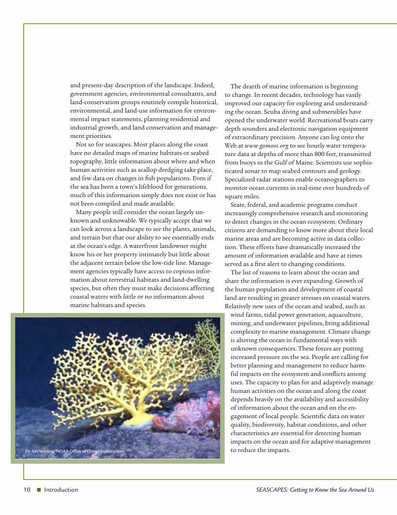
shapes the ecology of the bay. This “ocean river” is critical for the area’s renowned lobster fishery—but nobody knew about it until oceanographic studies de-tected it. Likewise, few people would ever have guessed that large corals inhabit the cold waters of the Gulf of Maine—until fishermen and scientists began to docu-ment the existence of these astoundingly beautiful life forms in the deep waters of the Gulf.
Similar mysteries linger in every area of the ocean, even the most urbanized bay and the smallest cove. Consider, for example, a typical nautical chart of the coast. Scattered around the chart are numbers indicat-ing water depths at individual points, usually based on soundings taken decades or even more than a century ago. This is the best depth information available for most ocean areas, yet it only begins to describe the ac-tual contours of the seabed. The surface of the moon has been mapped in greater detail than the seabed of the Gulf of Maine. People have lived, fished, and boated here for millennia, but the underwater land-scape remains a frontier.
The contrast between our understanding of land and sea could hardly be sharper. At your town and county offices, you may find detailed maps of the land-scape: terrestrial vegetation, soil types, habitats, topog-raphy, infrastructure, land use, and zoning. You might even have access to them on the Web, along with detailed aerial photos that let you zoom in on your backyard. From readily accessible sources, you could quickly put together a reasonably good historical
SEASCAPES: Getting to Know the Sea Around Us Introduction n 9
Section 1 Introduction
Slade Moore
10 n Introduction SEASCAPES: Getting to Know the Sea Around Us
and present-day description of the landscape. Indeed, government agencies, environmental consultants, and land-conservation groups routinely compile historical, environmental, and land-use information for environ-mental impact statements, planning residential and industrial growth, and land conservation and manage-ment priorities.
Not so for seascapes. Most places along the coast have no detailed maps of marine habitats or seabed topography, little information about where and when human activities such as scallop dredging take place, and few data on changes in fish populations. Even if the sea has been a town’s lifeblood for generations, much of this information simply does not exist or has not been compiled and made available.
Many people still consider the ocean largely un-known and unknowable. We typically accept that we can look across a landscape to see the plants, animals, and terrain but that our ability to see essentially ends at the ocean’s edge. A waterfront landowner might know his or her property intimately but little about the adjacent terrain below the low-tide line. Manage-ment agencies typically have access to copious infor-mation about terrestrial habitats and land-dwelling species, but often they must make decisions affecting coastal waters with little or no information about marine habitats and species.
The dearth of marine information is beginning to change. In recent decades, technology has vastly improved our capacity for exploring and understand-ing the ocean. Scuba diving and submersibles have opened the underwater world. Recreational boats carry depth sounders and electronic navigation equipment of extraordinary precision. Anyone can log onto the Web at www.gomoos.org to see hourly water tempera-ture data at depths of more than 800 feet, transmitted from buoys in the Gulf of Maine. Scientists use sophis-ticated sonar to map seabed contours and geology. Specialized radar stations enable oceanographers to monitor ocean currents in real-time over hundreds of square miles.
State, federal, and academic programs conduct increasingly comprehensive research and monitoring to detect changes in the ocean ecosystem. Ordinary citizens are demanding to know more about their local marine areas and are becoming active in data collec-tion. These efforts have dramatically increased the amount of information available and have at times served as a first alert to changing conditions.
The list of reasons to learn about the ocean and share the information is ever expanding. Growth of the human population and development of coastal land are resulting in greater stresses on coastal waters. Relatively new uses of the ocean and seabed, such as
wind farms, tidal power generation, aquaculture, mining, and underwater pipelines, bring additional complexity to marine management. Climate change is altering the ocean in fundamental ways with unknown consequences. These forces are putting increased pressure on the sea. People are calling for better planning and management to reduce harm-ful impacts on the ecosystem and conflicts among uses. The capacity to plan for and adaptively manage human activities on the ocean and along the coast depends heavily on the availability and accessibility of information about the ocean and on the en-gagement of local people. Scientific data on water quality, biodiversity, habitat conditions, and other characteristics are essential for detecting human impacts on the ocean and for adaptive management to reduce the impacts. Dr. Les Watling/NOAA Office of Ocean Exploration
SEASCAPES: Getting to Know the Sea Around Us Introduction n 11
This document is intended to guide you in bringing together information that exists about a marine area and in filling gaps in that knowledge. It is designed to help you:
compile sources of scientific, historical, and socio- ■
economic information;
capture the unique and valuable local knowledge ■
carried by those who live and work in the area;
collect new data to fill in the missing pieces; and ■
communicate your findings so they can be used ■
by others.
Following the process described in this guide can result in a better understanding of a marine area’s character, its history, how the ecosystem functions, human activities and impacts, and the questions that still need to be answered.
oceanography, chemistry, economy, and human uses. Products of a ma-rine area characterization might include booklets, technical reports, data-bases, maps, photograph albums, oral presenta-tions, and Web sites.
The area to be charac-terized can be as small as a cove or harbor, or as large as the Gulf of Maine. The characterized area can be entirely ocean—ranging from shallow, coastal waters to the deep, open ocean—or it can include rivers and coastal lands. The boundaries of a characterized area can be natural features, such as capes and headlands, or political borders, such as towns or states. From a
scientific perspective, it is usually ad-vantageous to use natural boundaries, particularly watersheds.
Information of many types can be included in a marine area character-ization. It may focus only on pres-ent conditions or describe historical conditions, too. The characterization might describe the species, habitats, water circulation patterns, sediments, rock types, and human activities in the place, as well as short- and long-term changes. Such scientific information often is compiled from existing publi-cations and studies, and it also may be obtained through new data collection and analysis. Along with ecological information, a marine area character-ization may encompass human dimen-
sions, such as economics, demographics, and fishing.Section 3 describes the types of information that
make up a comprehensive marine area characteriza-tion. However, many characterization projects do not attempt to include all of the components because the project goals are limited or funding is insufficient. Some characterization efforts happen in a series of stages, examining different aspects of the area at dif-ferent times as resources allow.
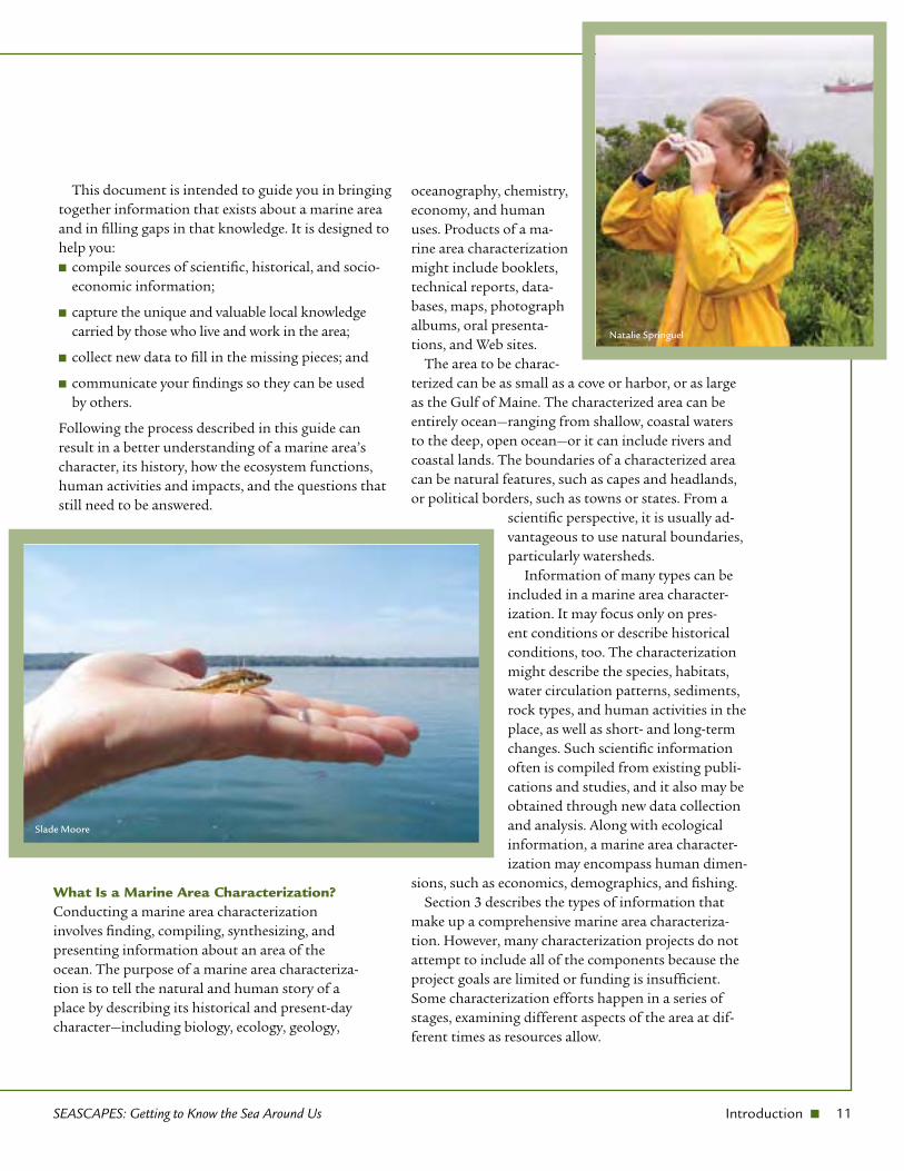
Slade Moore
Natalie Springuel
What Is a Marine Area Characterization?Conducting a marine area characterization involves finding, compiling, synthesizing, and presenting information about an area of the ocean. The purpose of a marine area characteriza-tion is to tell the natural and human story of a place by describing its historical and present-day character—including biology, ecology, geology,
12 n Introduction SEASCAPES: Getting to Know the Sea Around Us
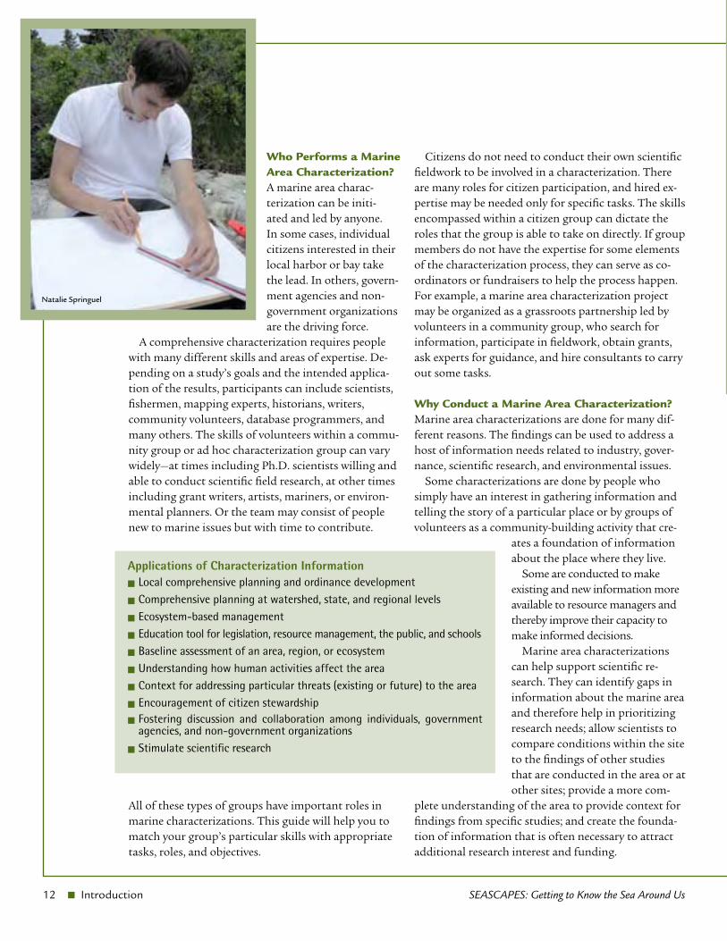
Who Performs a Marine Area Characterization?A marine area charac-terization can be initi-ated and led by anyone. In some cases, individual citizens interested in their local harbor or bay take the lead. In others, govern-ment agencies and non-government organizations are the driving force.
A comprehensive characterization requires people with many different skills and areas of expertise. De-pending on a study’s goals and the intended applica-tion of the results, participants can include scientists, fishermen, mapping experts, historians, writers, community volunteers, database programmers, and many others. The skills of volunteers within a commu-nity group or ad hoc characterization group can vary widely—at times including Ph.D. scientists willing and able to conduct scientific field research, at other times including grant writers, artists, mariners, or environ-mental planners. Or the team may consist of people new to marine issues but with time to contribute.
All of these types of groups have important roles in marine characterizations. This guide will help you to match your group’s particular skills with appropriate tasks, roles, and objectives.
Citizens do not need to conduct their own scientific fieldwork to be involved in a characterization. There are many roles for citizen participation, and hired ex-pertise may be needed only for specific tasks. The skills encompassed within a citizen group can dictate the roles that the group is able to take on directly. If group members do not have the expertise for some elements of the characterization process, they can serve as co-ordinators or fundraisers to help the process happen. For example, a marine area characterization project may be organized as a grassroots partnership led by volunteers in a community group, who search for information, participate in fieldwork, obtain grants, ask experts for guidance, and hire consultants to carry out some tasks.
Why Conduct a Marine Area Characterization?Marine area characterizations are done for many dif-ferent reasons. The findings can be used to address a host of information needs related to industry, gover-nance, scientific research, and environmental issues.
Some characterizations are done by people who simply have an interest in gathering information and telling the story of a particular place or by groups of volunteers as a community-building activity that cre-
ates a foundation of information about the place where they live.
Some are conducted to make existing and new information more available to resource managers and thereby improve their capacity to make informed decisions.
Marine area characterizations can help support scientific re-search. They can identify gaps in information about the marine area and therefore help in prioritizing research needs; allow scientists to compare conditions within the site to the findings of other studies that are conducted in the area or at other sites; provide a more com-
plete understanding of the area to provide context for findings from specific studies; and create the founda-tion of information that is often necessary to attract additional research interest and funding.
Applications of Characterization InformationLocal comprehensive planning and ordinance development n
Comprehensive planning at watershed, state, and regional levels n
Ecosystem-based management n
Education tool for legislation, resource management, the public, and schools n
Baseline assessment of an area, region, or ecosystem n
Understanding how human activities affect the area n
Context for addressing particular threats (existing or future) to the area n
Encouragement of citizen stewardship n
Fostering discussion and collaboration among individuals, government n
agencies, and non-government organizationsStimulate scientific research n
Natalie Springuel
SEASCAPES: Getting to Know the Sea Around Us Introduction n 13
Results from a marine area characterization provide a snapshot of the area’s conditions at one point in time. This snapshot can be useful for developing an assessment of the area’s status, such as a “state of the bay report,” and it can help identify the best variables for long-term monitoring of the area’s condition over time. Characterization results can be used in future studies to identify key changes that have taken place and to determine the natural variability of conditions in the area.
Many values of marine area characterizations lie beyond the realm of science. The projects can focus citizen attention on a marine area, fostering local stew-ardship and responsibility for the site. Characteriza-tions provide information that can be used to resolve conflicts among human activities or management goals for the area.
Examples of Marine Area Characterization ProjectsMany government and non-government organizations have worked to characterize marine areas. As examples, three projects are described in this section. This guide evolved partly in response to these projects, as well as more limited efforts by other groups. They demon-strated the increasing need for, and broad utility of, characterizing marine areas. Although these projects were not comprehensive characterizations and may have used different methods than those described in this guide, they give a sense of what is involved in a
marine area characterization. People who worked on these three projects were involved in producing the Seascapes guide, and their experience and expertise is reflected throughout the guide.Example 1: Taunton Bay, MaineSite-specific ecological studies to address local concerns and develop long-term collaborative management strategies.
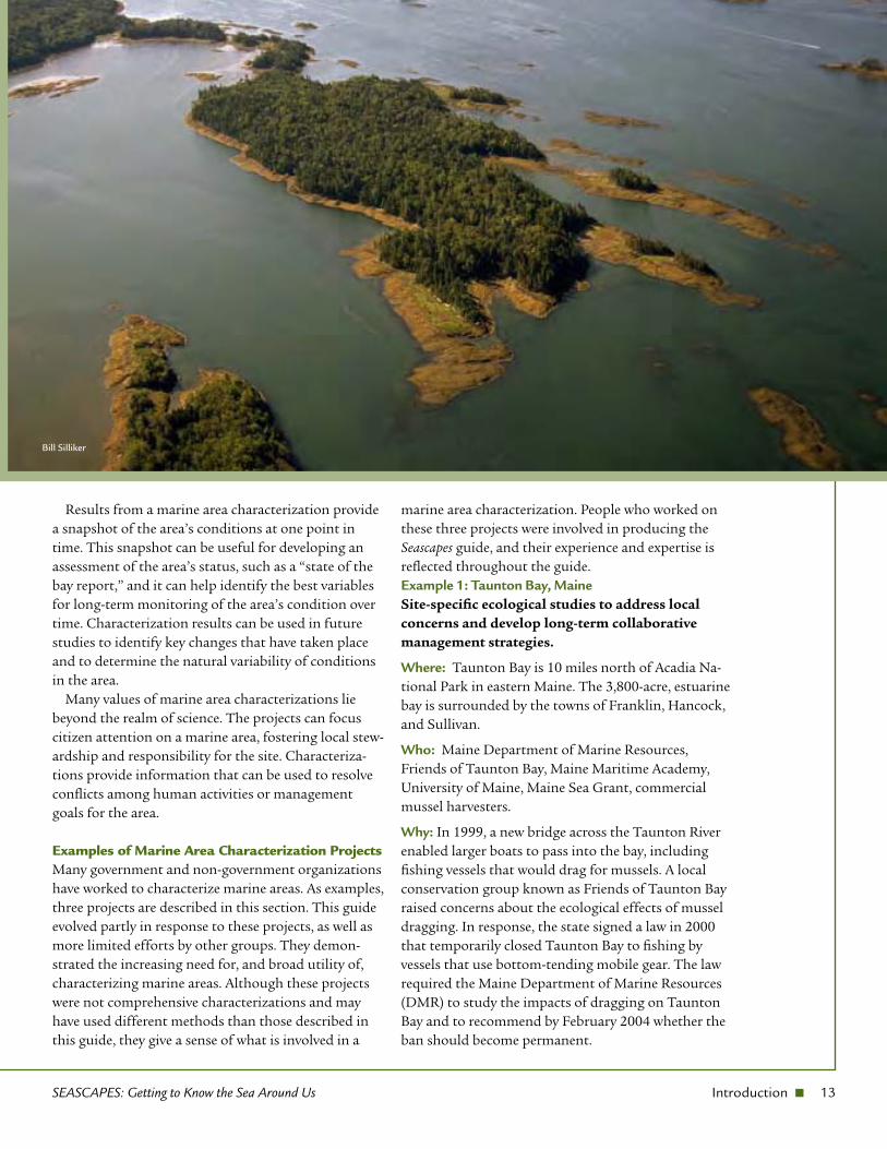
Where: Taunton Bay is 10 miles north of Acadia Na-tional Park in eastern Maine. The 3,800-acre, estuarine bay is surrounded by the towns of Franklin, Hancock, and Sullivan.
Who: Maine Department of Marine Resources, Friends of Taunton Bay, Maine Maritime Academy, University of Maine, Maine Sea Grant, commercial mussel harvesters.
Why: In 1999, a new bridge across the Taunton River enabled larger boats to pass into the bay, including fishing vessels that would drag for mussels. A local conservation group known as Friends of Taunton Bay raised concerns about the ecological effects of mussel dragging. In response, the state signed a law in 2000 that temporarily closed Taunton Bay to fishing by vessels that use bottom-tending mobile gear. The law required the Maine Department of Marine Resources (DMR) to study the impacts of dragging on Taunton Bay and to recommend by February 2004 whether the ban should become permanent.
Bill Silliker
14 n Introduction SEASCAPES: Getting to Know the Sea Around Us
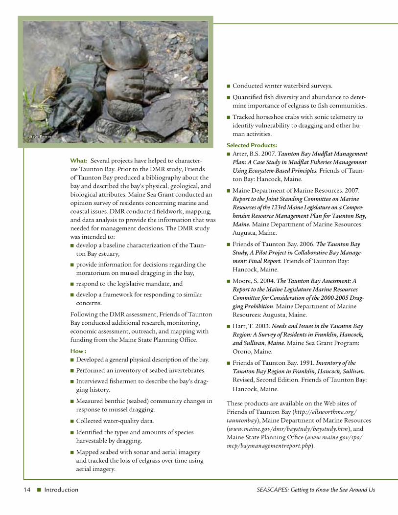
What: Several projects have helped to character-ize Taunton Bay. Prior to the DMR study, Friends of Taunton Bay produced a bibliography about the bay and described the bay’s physical, geological, and biological attributes. Maine Sea Grant conducted an opinion survey of residents concerning marine and coastal issues. DMR conducted fieldwork, mapping, and data analysis to provide the information that was needed for management decisions. The DMR study was intended to:
develop a baseline characterization of the Taun- ■
ton Bay estuary,
provide information for decisions regarding the ■
moratorium on mussel dragging in the bay,
respond to the legislative mandate, and ■
develop a framework for responding to similar ■
concerns.
Following the DMR assessment, Friends of Taunton Bay conducted additional research, monitoring, economic assessment, outreach, and mapping with funding from the Maine State Planning Office.
How : Developed a general physical description of the bay. ■
Performed an inventory of seabed invertebrates. ■
Interviewed fishermen to describe the bay’s drag- ■
ging history.
Measured benthic (seabed) community changes in ■
response to mussel dragging.
Collected water-quality data. ■
Identified the types and amounts of species ■
harvestable by dragging.
Mapped seabed with sonar and aerial imagery ■
and tracked the loss of eelgrass over time using aerial imagery.
Conducted winter waterbird surveys. ■
Quantified fish diversity and abundance to deter- ■
mine importance of eelgrass to fish communities.
Tracked horseshoe crabs with sonic telemetry to ■
identify vulnerability to dragging and other hu-man activities.
Selected Products:Arter, B.S. 2007. ■ Taunton Bay Mudflat Management Plan: A Case Study in Mudflat Fisheries Management Using Ecosystem-Based Principles. Friends of Taun-ton Bay: Hancock, Maine.
Maine Department of Marine Resources. 2007. ■
Report to the Joint Standing Committee on Marine Resources of the 123rd Maine Legislature on a Compre-hensive Resource Management Plan for Taunton Bay, Maine. Maine Department of Marine Resources: Augusta, Maine.
Friends of Taunton Bay. 2006. ■ The Taunton Bay Study, A Pilot Project in Collaborative Bay Manage-ment: Final Report. Friends of Taunton Bay: Hancock, Maine.
Moore, S. 2004. ■ The Taunton Bay Assessment: A Report to the Maine Legislature Marine Resources Committee for Consideration of the 2000-2005 Drag-ging Prohibition. Maine Department of Marine Resources: Augusta, Maine.
Hart, T. 2003. ■ Needs and Issues in the Taunton Bay Region: A Survey of Residents in Franklin, Hancock, and Sullivan, Maine. Maine Sea Grant Program: Orono, Maine.
Friends of Taunton Bay. 1991. ■ Inventory of the Taunton Bay Region in Franklin, Hancock, Sullivan. Revised, Second Edition. Friends of Taunton Bay:
Hancock, Maine.
These products are available on the Web sites of Friends of Taunton Bay (http://ellsworthme.org/tauntonbay), Maine Department of Marine Resources (www.maine.gov/dmr/baystudy/baystudy.htm), and Maine State Planning Office (www.maine.gov/spo/mcp/baymanagementreport.php).
Steve Perrin
SEASCAPES: Getting to Know the Sea Around Us Introduction n 15
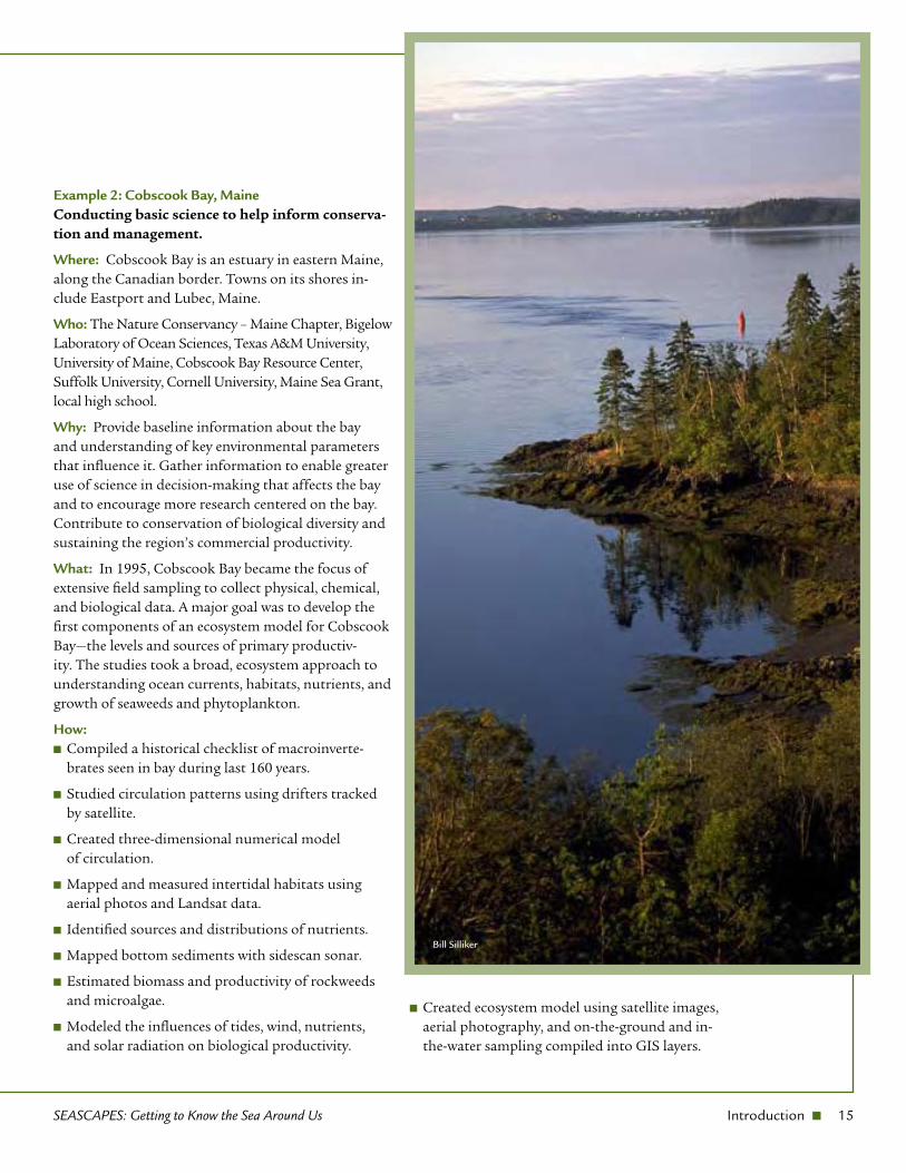
Example 2: Cobscook Bay, Maine Conducting basic science to help inform conserva-tion and management.
Where: Cobscook Bay is an estuary in eastern Maine, along the Canadian border. Towns on its shores in-clude Eastport and Lubec, Maine.
Who: The Nature Conservancy – Maine Chapter, Bigelow Laboratory of Ocean Sciences, Texas A&M University, University of Maine, Cobscook Bay Resource Center, Suffolk University, Cornell University, Maine Sea Grant, local high school.
Why: Provide baseline information about the bay and understanding of key environmental parameters that influence it. Gather information to enable greater use of science in decision-making that affects the bay and to encourage more research centered on the bay. Contribute to conservation of biological diversity and sustaining the region’s commercial productivity.
What: In 1995, Cobscook Bay became the focus of extensive field sampling to collect physical, chemical, and biological data. A major goal was to develop the first components of an ecosystem model for Cobscook Bay—the levels and sources of primary productiv-ity. The studies took a broad, ecosystem approach to understanding ocean currents, habitats, nutrients, and growth of seaweeds and phytoplankton.
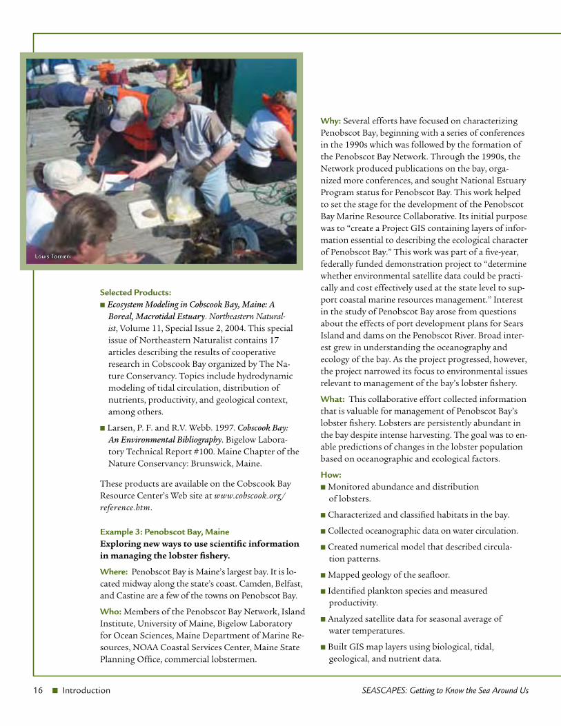
How:Compiled a historical checklist of macroinverte- ■
brates seen in bay during last 160 years.
Studied circulation patterns using drifters tracked ■
by satellite.
Created three-dimensional numerical model ■
of circulation.
Mapped and measured intertidal habitats using ■
aerial photos and Landsat data.
Identified sources and distributions of nutrients. ■
Mapped bottom sediments with sidescan sonar. ■
Estimated biomass and productivity of rockweeds ■
and microalgae.
Modeled the influences of tides, wind, nutrients, ■
and solar radiation on biological productivity.
Created ecosystem model using satellite images, ■
aerial photography, and on-the-ground and in-the-water sampling compiled into GIS layers.
Bill Silliker
16 n Introduction SEASCAPES: Getting to Know the Sea Around Us
Selected Products:Ecosystem Modeling in Cobscook Bay, Maine: A ■
Boreal, Macrotidal Estuary. Northeastern Natural-ist, Volume 11, Special Issue 2, 2004. This special issue of Northeastern Naturalist contains 17 articles describing the results of cooperative research in Cobscook Bay organized by The Na-ture Conservancy. Topics include hydrodynamic modeling of tidal circulation, distribution of nutrients, productivity, and geological context, among others.
Larsen, P. F. and R.V. Webb. 1997. ■ Cobscook Bay: An Environmental Bibliography. Bigelow Labora-tory Technical Report #100. Maine Chapter of the Nature Conservancy: Brunswick, Maine.
These products are available on the Cobscook Bay Resource Center’s Web site at www.cobscook.org/reference.htm.
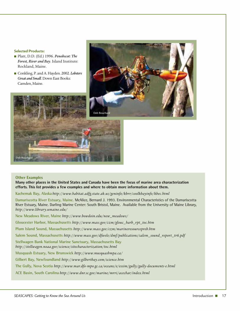
Example 3: Penobscot Bay, MaineExploring new ways to use scientific information in managing the lobster fishery.
Where: Penobscot Bay is Maine’s largest bay. It is lo-cated midway along the state’s coast. Camden, Belfast, and Castine are a few of the towns on Penobscot Bay.
Who: Members of the Penobscot Bay Network, Island Institute, University of Maine, Bigelow Laboratory for Ocean Sciences, Maine Department of Marine Re-sources, NOAA Coastal Services Center, Maine State Planning Office, commercial lobstermen.
Why: Several efforts have focused on characterizing Penobscot Bay, beginning with a series of conferences in the 1990s which was followed by the formation of the Penobscot Bay Network. Through the 1990s, the Network produced publications on the bay, orga-nized more conferences, and sought National Estuary Program status for Penobscot Bay. This work helped to set the stage for the development of the Penobscot Bay Marine Resource Collaborative. Its initial purpose was to “create a Project GIS containing layers of infor-mation essential to describing the ecological character of Penobscot Bay.” This work was part of a five-year, federally funded demonstration project to “determine whether environmental satellite data could be practi-cally and cost effectively used at the state level to sup-port coastal marine resources management.” Interest in the study of Penobscot Bay arose from questions about the effects of port development plans for Sears Island and dams on the Penobscot River. Broad inter-est grew in understanding the oceanography and ecology of the bay. As the project progressed, however, the project narrowed its focus to environmental issues relevant to management of the bay’s lobster fishery.
What: This collaborative effort collected information that is valuable for management of Penobscot Bay’s lobster fishery. Lobsters are persistently abundant in the bay despite intense harvesting. The goal was to en-able predictions of changes in the lobster population based on oceanographic and ecological factors.
How:Monitored abundance and distribution ■
of lobsters.
Characterized and classified habitats in the bay. ■
Collected oceanographic data on water circulation. ■
Created numerical model that described circula- ■
tion patterns.
Mapped geology of the seafloor. ■
Identified plankton species and measured ■
productivity.
Analyzed satellite data for seasonal average of ■
water temperatures.
Built GIS map layers using biological, tidal, ■
geological, and nutrient data.
Louis Torrieri
SEASCAPES: Getting to Know the Sea Around Us Introduction n 17
Selected Products:Platt, D.D. (Ed.) 1996. ■ Penobscot: The Forest, River and Bay. Island Institute: Rockland, Maine.
Conkling, P. and A. Hayden. 2002. ■ Lobsters Great and Small. Down East Books: Camden, Maine.
Other Examples Many other places in the United States and Canada have been the focus of marine area characterization efforts. This list provides a few examples and where to obtain more information about them.
Kachemak Bay, Alaska http://www.habitat.adfg.state.ak.us/geninfo/kbrr/coolkbayinfo/kbec.html
Damariscotta River Estuary, Maine. McAlice, Bernard J. 1993. Environmental Characteristics of the Damariscotta River Estuary, Maine. Darling Marine Center: South Bristol, Maine. Available from the University of Maine Library, http://www.library.umaine.edu/
New Meadows River, Maine http://www.bowdoin.edu/new_meadows/
Gloucester Harbor, Massachusetts http://www.mass.gov/czm/glouc_harb_rpt_toc.htm
Plum Island Sound, Massachusetts http://www.mass.gov/czm/marineresourcepreb.htm
Salem Sound, Massachusetts http://www.mass.gov/dfwele/dmf/publications/salem_sound_report_tr6.pdf
Stellwagen Bank National Marine Sanctuary, Massachusetts Bay http://stellwagen.noaa.gov/science/sitecharacterization/toc.html
Musquash Estuary, New Brunswick http://www.musquashmpa.ca/
Gilbert Bay, Newfoundland http://www.gilbertbay.com/science.htm
The Gully, Nova Scotia http://www.mar.dfo-mpo.gc.ca/oceans/e/essim/gully/gully-documents-e.html
ACE Basin, South Carolina http://www.dnr.sc.gov/marine/mrri/acechar/index.html
Deb Bouchard
Deb Bouchard

Quebec-Labrador Foundation/Atlantic Center for the Environment55 South Main Street • Ipswich • Massachusetts • 01938 • USA
QLF Marine Program • 28 Martin Point Road • Friendship • Maine • 04547 • USAwww.QLF.org MSG-E-08-03