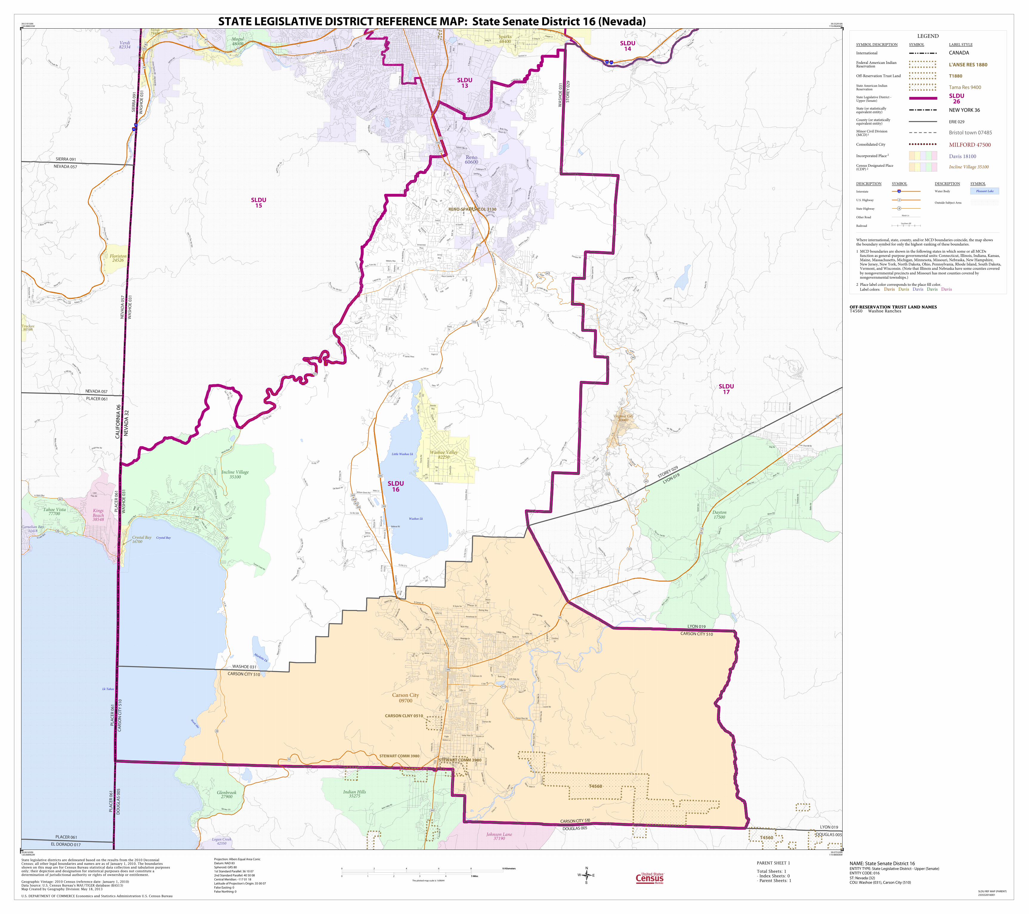
state legislative district reference map€¦ · marlette lk lk tahoe little washoe lk washoe lk...
TRANSCRIPT
Marlette Lk
Lk Tahoe
Little Washoe Lk
Washoe Lk
Crystal Bay
Skunk Hbr
Union Paci f ic R R
Union Pacif ic RR
Union P
acif i
c RR
Union Pacif ic RR
80
8080
80
La kes
Blvd
Ring Rd
Lafond Ave
Hinto
n R
d
Grosh Ave
Industria
l Pkwy
Day
ton
Toll Rd
Barrel Sp rings Rd
Minor Rd
Gars
on
R
d
C old Canyo
n Rd
Op
hir
Gra
de
S Verd
i Rd
Quilici Rd
Term
inal
Way
S M
ain
St
Occiden
tal
Grad
e
Kimlick Ln
James Ave
Mill St
River Rd
Nat For D
ev Rd 100
Ju
nip
er C
reek Rd
E Boca Springs R d
E Greg St
Lo
us
e
town Rd
Geige
r
Gra
de Rd
Lakeside D
r
Old Hwy 5 0
Yellow
Jacket Rd
Com
stock Rd
Six Mile
Canyon
Rd
Old
Verdi R
d
M
anza
nit
a Ln
Greg St
Sch
a
ad
L
n
Linehan R
d
Louse
town Rd
Kingsview Rd
Plum
as S
t
F
orest R
te 72
S S
unrid
ge D
r
C St
K leppe Ln
Rocky Rd
la Mirada
Rd
Rive
r Vi
sta
Dr
Idle
wild
Dr
Lake
Vista Rd
Bullio
n Rd
Iceland Rd
Hunter Lake R
d
Bullf
rog Rd
C
artwright Rd
Em
pire
Rd
Ove
rland Rd
Must
an
g Rd
Rid
gevie
w
Dr
D
irt R
d
Hirschdale R
d
Kietzke Ln
Fort Churchill Rd
Hill
top D
r
N Lake B
lvd
Old M
t Rose Hw
y
W 4th St
Martis
P
eak Rd
Jack
s Valle
y Rd
Na
t F
or D
ev Rd 047
McCarran B
lvd
N Shore Blvd
V
erdi
Peak Rd
S R
ock B
lvd
Co R
d
101
Co Rd 52
Co Rd 328
Co R
d 1
02
Pi n
i on Hi lls
D
r
Co Rd 3
14
Co Rd 49
Co Rd
316
Co Rd 97
Co Rd 315
Co R
d
233
Co R
d
52
Co R
d
282
Com
bs C
an
yon Rd
Co Rd 271
Co R
d 2
24
Co Rd 3
2
7
S M
eadow
s Pkwy
Mills Rd
Asphalt
Dr
S R 4
31
Eagle
Station Ln
Voltaire S
t
Franktow
n
Rd
Lake
Genev
a Dr
T
irol Dr
ChurchillD
r
Car
at A
ve
Snyder
Rd
N Sutro Ter
Heritage Way
Venta
na P
kwy
Kelvin
Rd
Conte D
r
Ora
nge Blvd
David
Dr
Damonte
Ran
ch Pkwy
Old Ranch Rd
Salk
Rd
Jeff erson Dr
W Winnie Ln
S Edm
onds D
r
Boeing Way
E Robinson St
Duck
Hill Rd
Frontage R
d
Trademar k Dr
Sandhill Rd
Laurel Rd
Gentry Ln
Big
elo
w D
r
Dunbar
Dr
Butch Cassidy Dr
William Brent Rd
la Guardia
Ln
Windridge Dr
Schulz D
r
Rhodes Rd
Medi
cal Pkw
y
Flin
t Rd
T
inhorn R
d
Ol d
Ophir Rd
Gold
en Eagle
Ln
Littl
e Valley
Rd
Ta
nks
Rd
Sage Hill Rd
Lakeshore D
r
Gentry Ln
Tyrone R
d
DirtRd
Chateau Ave
Arrowhead Dr Lakevie
w Rd
Callahan
Rd
Southw
ind Dr
N D
eer Run Rd
WashoeDr
El
i Dr
Grea
tF alls
Loo
p
S R 28
Bain S
prin
gs Rd
Nikki Ln
Fra
nkto
wn C
reek
Rd
Footh
ill Rd
Frank
t
own
Cree
k Rd
Kivett Ln
Pagni Ln
Fairvie
w Blv
d
Chance Ln
Will Sauer Rd
Hid
den
Lake
Dr
Jenna
Way
Eastlake B
lvd
Jum
b
o G
ra
de
Hobart Rd
Timberline Dr
Fieldcreek L
n
Hells Bells Rd
C
r
oss
Cree
k Ln
Butti Way
Little Ln
Silver Oak
Dr
Veterans P
kw
y
Ormsby Ln
Apollo Dr
La
ke Vista Rd
Fairview Dr
Mexi c
an D
am
Rd
Andrew
Ln
Ophir Rd
We
ste
rn S
kie
s Dr
Kelly
Canyon Rd
Sierr
a Vista Ln
Zolezzi
Ln
Stephens
Rd
Lakeshor
e B
lvd
Casw
ell Ln
Marle
tte Lake Rd
Mark Way
Murp
hy D
r
Conte D
r
Willow
Bend Ln
Service
Berry Ln
Willo
m
onte Rd
E 5th St
Terry
Way
Maverick Ln
W Sad
dle
bow
D
r
Bain
S
prin
g R
d
N Carson St
Mira Lom
a
Rd
Nye
Dr
Inclin
e W
ay
Farnw
orth Pkw
y
Hei d
i
Cir
W
elcome
W
ay
Bellevue Rd
Nat For D
ev R
d 042
Cen
tennia
lDr
Mars h R
d
Co
ttonta
il Ln
Ruby Ln
Faw
n Ln
Rio
Vi s
ta Ln
County R
d
Valley View Dr
Short L
n
Autumn Hills Dr
Old Virginia Rd
Coo
ke D
r
Koontz Ln
Arrowcreek
Pkwy
St James Pkwy
S Hills
D
r
S D
eer Run Rd
Carl D
r
Doub
le R Blvd
Brush
Dr
Scorpion Rd
Damon Rd
Temple Hill Rd
Tahoe
Blvd
C
rain S
t
E Je
f
fre
y
Pine R
d
Whitm
an S
t
Rio
W
rangle
r Pkw
y
Airport
Rd
Tannerwood Dr
Tunnel C
reek R
d
Franktown Rd
S Curry
St
Melarky Way
Zircon Dr
Pinion D
r
College Pkwy
Be lla Vista
Ranch Rd
Ski Way
Arthur Dr
Madras S
t
Paris
Ct
N Carson
St
Carabou
Dr
Villa
ge
Blv
d
Meacham
S
t
Brenda
Way
E Clearview
Dr
S
ilver
Wolf
Rd
Carson River Rd
Pem
broke Dr
Geiger
Grade
R d
Toll R
d
G
oni Rd
Dixon
Ln
Neil
Rd
South Virgin
ia St
Rock F
arm Rd
Joy L
a
ke Rd
Jum
bo G
rade
Ophir G
rade
Co Rd 312
Mira
Loma
D
r
N Tim
berlin
e D
r
E P
eckham
Ln
Alexa
nder L
ake
Rd
Vic
ky Ln
Moun
t Rose
Hw
y
Co Rd 3
40
Longle
y
Ln
Legend Vis
Na
t For
Dev
R
d 051
341
28
267
28
342
513
431
341
425
422
429
341
28
341
40
40
395 395
395
395
50
50
50
50
395
40
395
395
50
50
40
50
395
395
40
395
4040
395
NEVADA 057
SIERRA 091
LYON 019STOREY 029
EL DORADO 017
PLACER 061DOUGLAS 005
LYON 019
WA
SH
OE
03
1
PLA
CE
R 0
61
NE
VA
DA
05
7
WA
SH
OE
03
1
WASHOE 031
CARSON CITY 510
CARSON CITY 510
LYON 019
CARSON CITY 510
DOUGLAS 005
DO
UG
LAS
00
5
PLA
CE
R 0
61
CA
RS
ON
CIT
Y 5
10
PLA
CE
R 0
61
SIE
RR
A 0
91
WA
SH
OE
03
1
WA
SH
OE
03
1
ST
OR
EY
02
9
NEVADA 057
PLACER 061
CA
LIF
OR
NIA
06
NE
VA
DA
32
STEWART COMM 3980
CARSON CLNY 0510
RENO-SPARKS ICOL 3130
STEWART COMM 3980
T4560
T4560
Virginia City80000
Carnelian Bay11418
Mogul48000
Johnson Lane37190
KingsBeach38548
Tahoe Vista77700 Dayton
17500
Verdi79400
Verdi82334
Indian Hills35275
Glenbrook27900
Logan Creek42350
Floriston24526
Washoe Valley82250
Incline Village35100
Crystal Bay16700
Truckee80588
Sparks68400
Carson City09700
Reno60600
SLDU15
SLDU13
SLDU17
SLDU14
SLDU16
LEGEND
SYMBOL DESCRIPTION SYMBOL LABEL STYLE
International CANADA
Federal American IndianReservation L'ANSE RES 1880
Off-Reservation Trust Land T1880
State American IndianReservation Tama Res 9400
State Legislative District -Upper (Senate)
SLDU26
State (or statisticallyequivalent entity) NEW YORK 36
County (or statisticallyequivalent entity) ERIE 029
Minor Civil Division(MCD)1 Bristol town 07485
Consolidated City MILFORD 47500
Incorporated Place 2 Davis 18100
Census Designated Place(CDP) 2 Incline Village 35100
DESCRIPTION SYMBOL DESCRIPTION SYMBOL
Interstate 3
U.S. Highway 2
State Highway 4
Other RoadMarsh Ln
RailroadSouthern RR
Water Body Pleasant Lake
Outside Subject Area
Where international, state, county, and/or MCD boundaries coincide, the map showsthe boundary symbol for only the highest-ranking of these boundaries.
1 MCD boundaries are shown in the following states in which some or all MCDs function as general-purpose governmental units: Connecticut, Illinois, Indiana, Kansas, Maine, Massachusetts, Michigan, Minnesota, Missouri, Nebraska, New Hampshire, New Jersey, New York, North Dakota, Ohio, Pennsylvania, Rhode Island, South Dakota, Vermont, and Wisconsin. (Note that Illinois and Nebraska have some counties covered by nongovernmental precincts and Missouri has most counties covered by nongovernmental townships.)
2 Place label color corresponds to the place fill color.
Label colors: Davis Davis Davis Davis Davis
OFF-RESERVATION TRUST LAND NAMES T4560 Washoe Ranches
39.519150N120.088035W
39.532916N119.496406W
39.075329N119.480606W
39.061650N120.068462W
State legislative districts are delineated based on the results from the 2010 DecennialCensus; all other legal boundaries and names are as of January 1, 2010. The boundariesshown on this map are for Census Bureau statistical data collection and tabulation purposesonly; their depiction and designation for statistical purposes does not constitute adetermination of jurisdictional authority or rights of ownership or entitlement.
U.S. DEPARTMENT OF COMMERCE Economics and Statistics Administration U.S. Census Bureau
Geographic Vintage: 2010 Census (reference date: January 1, 2010)Data Source: U.S. Census Bureau's MAF/TIGER database (BAS13)Map Created by Geography Division: May 18, 2013
ENTITY TYPE: State Legislative District - Upper (Senate)ENTITY CODE: 016
NAME: State Senate District 16 Projection: Albers Equal Area Conic
Datum: NAD 83
Spheroid: GRS 80
1st Standard Parallel: 36 10 07
2nd Standard Parallel: 40 50 08
Central Meridian: -117 01 18
Latitude of Projection's Origin: 35 00 07
False Easting: 0
False Northing: 0
Total Sheets: 1- Index Sheets: 0- Parent Sheets: 1
ST: Nevada (32)COU: Washoe (031), Carson City (510)
0 2 4 6 8 10 Kilometers10 Kilometers
0 1 2 3 4 5 Miles5 Miles
The plotted map scale is 1:69644
STATE LEGISLATIVE DISTRICT REFERENCE MAP: State Senate District 16 (Nevada)
SLDU REF MAP (PARENT)
233532016001
PARENT SHEET 1