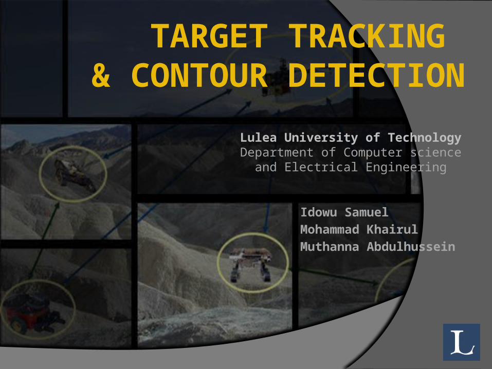
target tracking & contour detection
DESCRIPTION
Idowu Samuel Mohammad Khairul Muthanna Abdulhussein. Lulea University of Technology Department of Computer science and Electrical Engineering. TARGET TRACKING & CONTOUR DETECTION. AGENDA. Target tracking and WSN Application of Target Tracking VigilNET : A WSN Target Tracking Project - PowerPoint PPT PresentationTRANSCRIPT
TARGET TRACKING & CONTOUR DETECTION
Idowu SamuelMohammad Khairul Muthanna Abdulhussein
Lulea University of TechnologyDepartment of Computer science and
Electrical Engineering
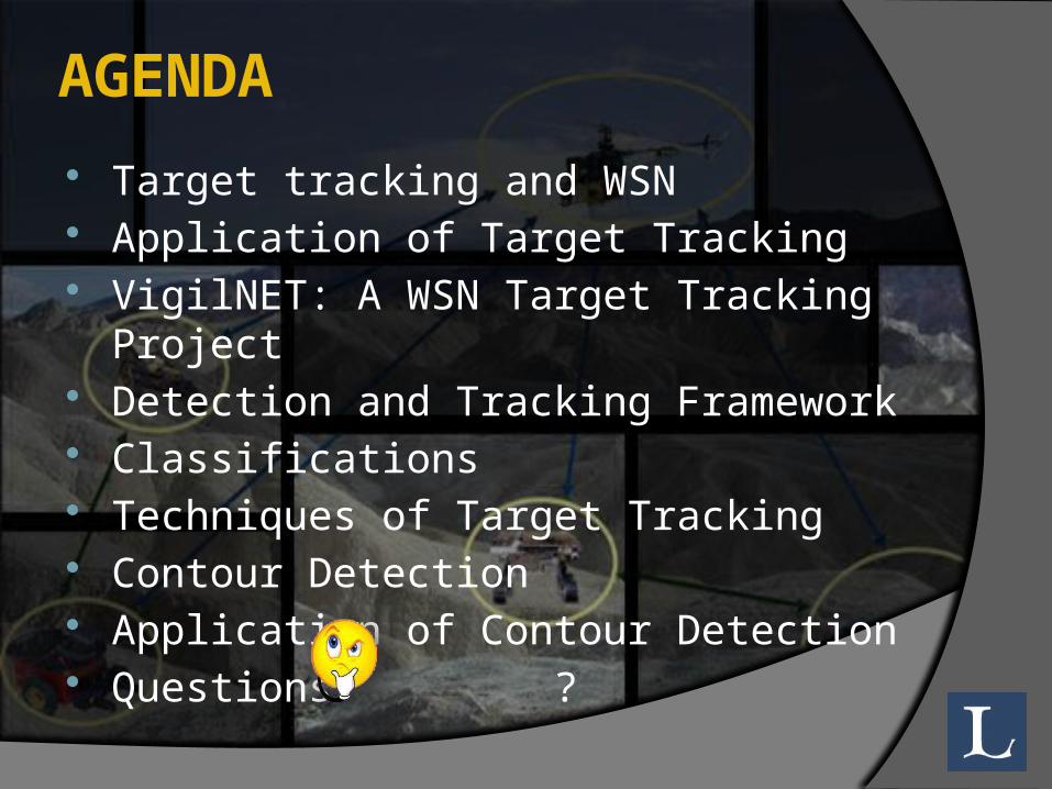
AGENDA Target tracking and WSN Application of Target Tracking VigilNET: A WSN Target Tracking Project Detection and Tracking Framework Classifications Techniques of Target Tracking Contour Detection Application of Contour Detection Questions ?
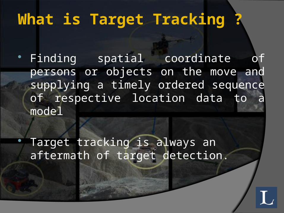
What is Target Tracking ?
Finding spatial coordinate of persons or objects on the move and supplying a timely ordered sequence of respective location data to a model
Target tracking is always an aftermath of target detection.
WSN and Target Tracking
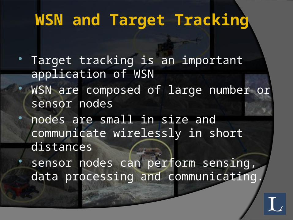
Target tracking is an important application of WSN
WSN are composed of large number or sensor nodes
nodes are small in size and communicate wirelessly in short distances
sensor nodes can perform sensing, data processing and communicating.
WSN and Target Tracking Each sensor node has multiple modalities for
sensing the environment such as○ Acoustic○ Seismic○ Light○ Temperature, etc
each sensor can sense only one modality at a time.
These modalities are used in detecting and tracking a moving target
Application of WSN Target Tracking
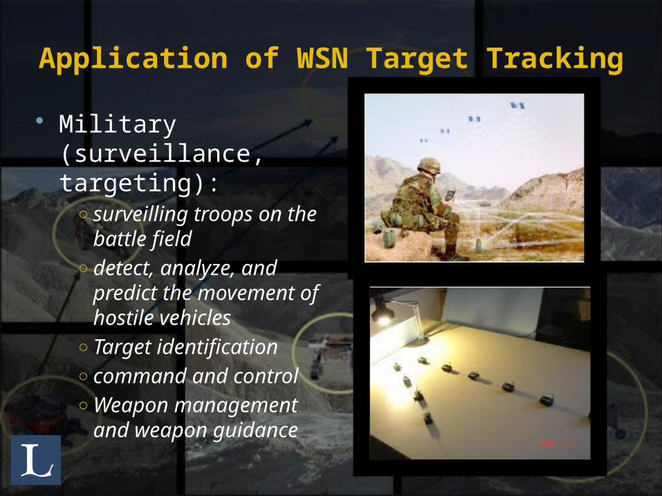
Military (surveillance, targeting):
○ surveilling troops on the battle field
○ detect, analyze, and predict the movement of hostile vehicles
○ Target identification○ command and control○ Weapon management
and weapon guidance
Application of WSN Target Tracking
Public (traffic control): vehicles on the freeway air traffic control
Healthcare and rescue: (tracking elderly, drug administration)
Border Security. Intrusion detection
Application of WSN Target Tracking
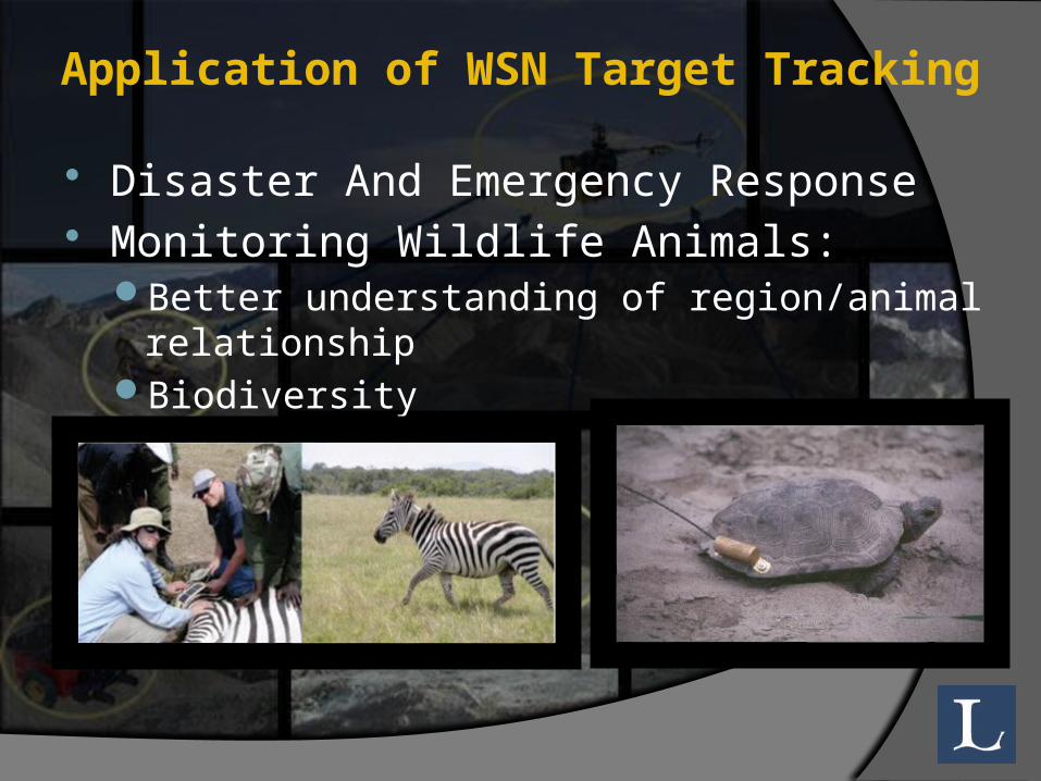
Disaster And Emergency Response Monitoring Wildlife Animals:
Better understanding of region/animal relationshipBiodiversity

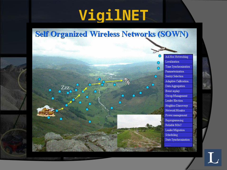
VigilNET : A Target tracking Project VigilNET
VigilNet is a wireless sensor network for military surveillance.
general objective of VigilNet is to alert military command and control units of the occurrence of events of interest in hostile regions
The events of interest are the presence of people, people with weapons, and large and small vehicles.
information obtained is reported to a remote base station within an acceptable latency
VigilNET
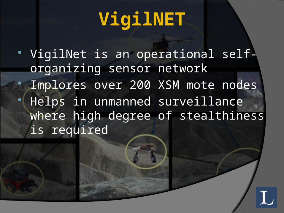
VigilNET VigilNet is an operational self-organizing
sensor network Implores over 200 XSM mote nodes Helps in unmanned surveillance where high
degree of stealthiness is required
VigilNET

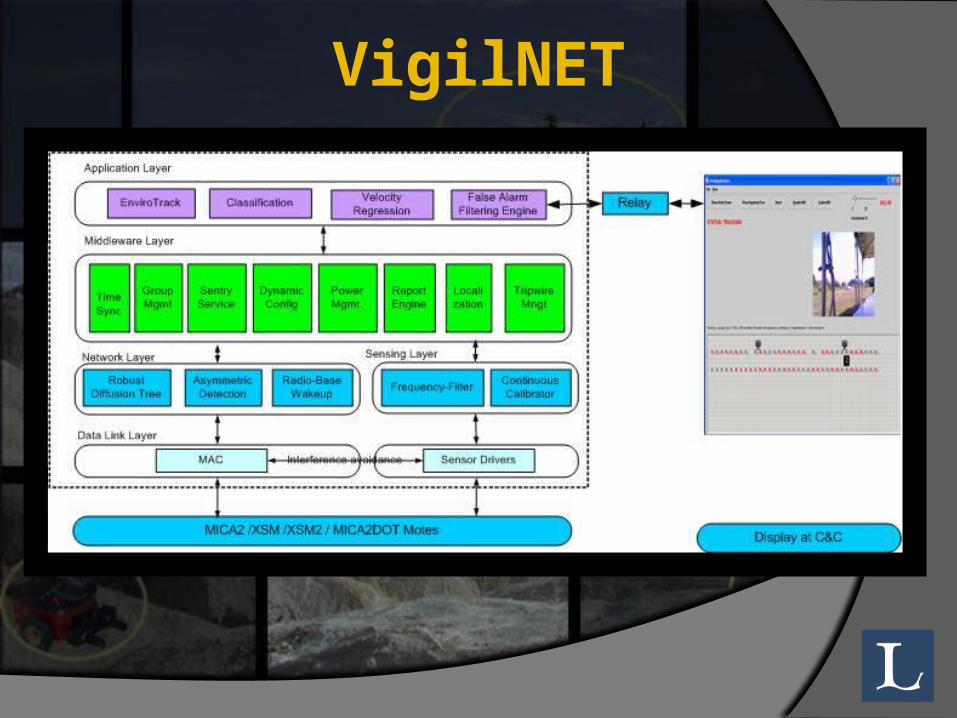
VigilNET: really? The VigilNet architecture is built on top of
TinyOS VigilNet currently consists about 40,000 lines of
NesC and Java code, running on XSM, Mica2 and Mica2dot platforms.
Designed to scale to at least 1000 XSM motes and cover minimal 100x1000 square meters to ensure operational applicability.
Also, VigilNet project is sponsored by DARPA (Defense Advanced Research Projects Agency) http://www.cs.virginia.edu/wsn/vigilnet/index.html
Why sensor networks? Why not GPS?
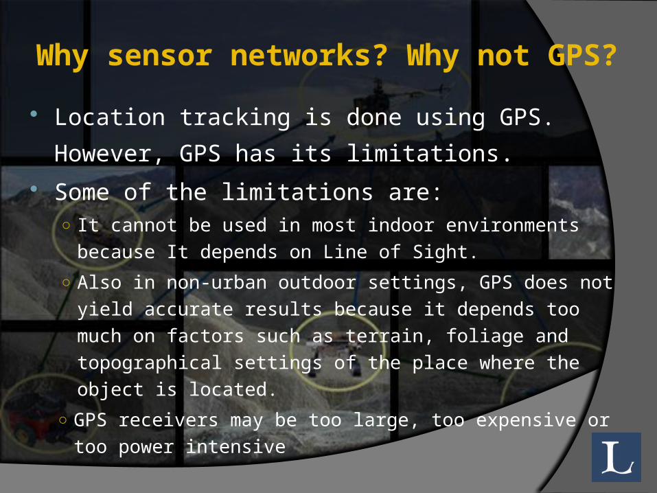
Location tracking is done using GPS. However, GPS has its limitations.
Some of the limitations are:○ It cannot be used in most indoor environments because It
depends on Line of Sight. ○ Also in non-urban outdoor settings, GPS does not yield
accurate results because it depends too much on factors such as terrain, foliage and topographical settings of the place where the object is located.
○ GPS receivers may be too large, too expensive or too power intensive
Why sensor networks? Why not GPS? Using wireless sensor networks provides us with
a better optionsince the nodes are relatively small, inexpensive and
low power devices. They are much more viable considering economic and
convenience constraints.
Detection and Tracking Framework Tracking system require the sensors to work in
groups in order to improve the reliability of target tracking algorithms.
Nodes needs to be coordinated in some way The 3 target tracking techniques used are
Tree basedCluster basedprediction based
Tree Based 2 types of tree based techniques
Scalable Tracking Using Networked sensors (STUN)
Dynamic Convoy Tree-based Collaboration (DCTC)
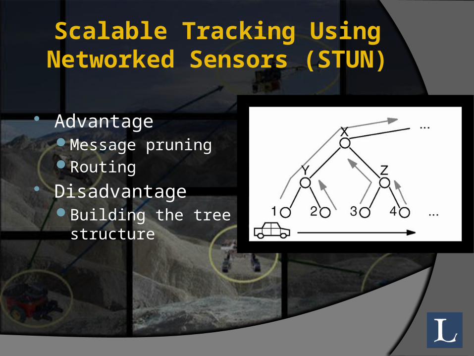
Scalable Tracking Using Networked Sensors (STUN)
handles a large number of moving objects at once.
uses a hierarchy to connect the sensors The leaves are sensors. The querying point as the root. The other nodes are communication nodes.
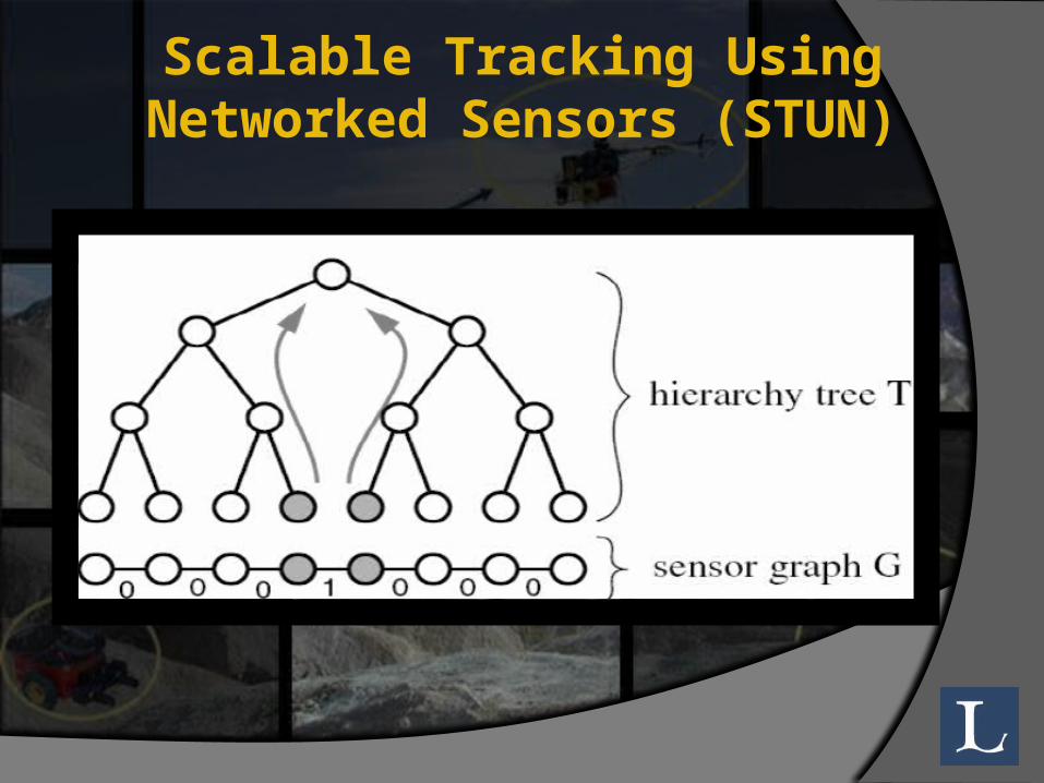
Scalable Tracking Using Networked Sensors (STUN)
Scalable Tracking Using Networked Sensors (STUN)
AdvantageMessage pruningRouting
DisadvantageBuilding the tree
structure
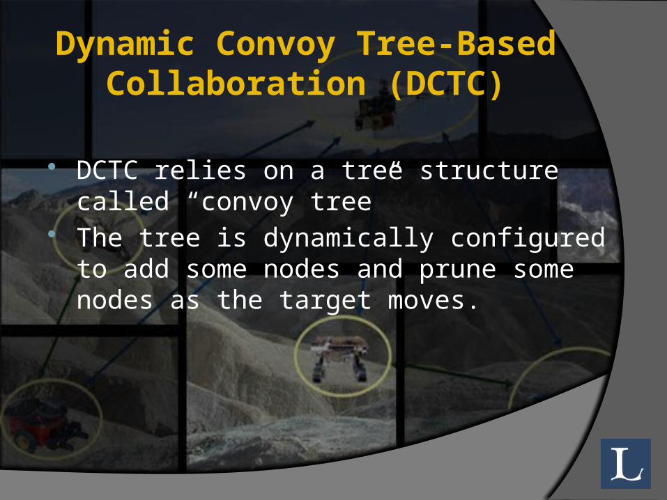
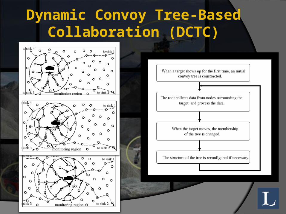
Dynamic Convoy Tree-Based Collaboration (DCTC)
DCTC relies on a tree structure called “convoy tree”
The tree is dynamically configured to add some nodes and prune some nodes as the target moves.
Dynamic Convoy Tree-Based Collaboration (DCTC)
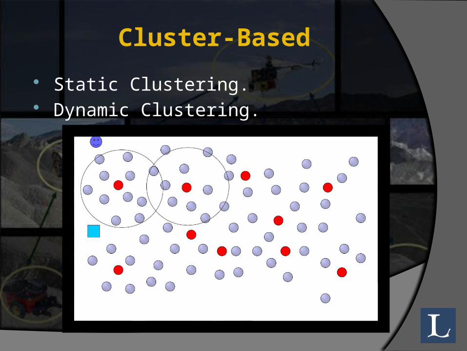
Cluster-Based Static Clustering. Dynamic Clustering.
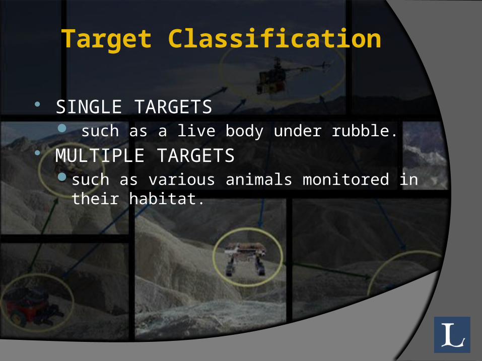
Target Classification
SINGLE TARGETS such as a live body under rubble.
MULTIPLE TARGETSsuch as various animals monitored in their habitat.
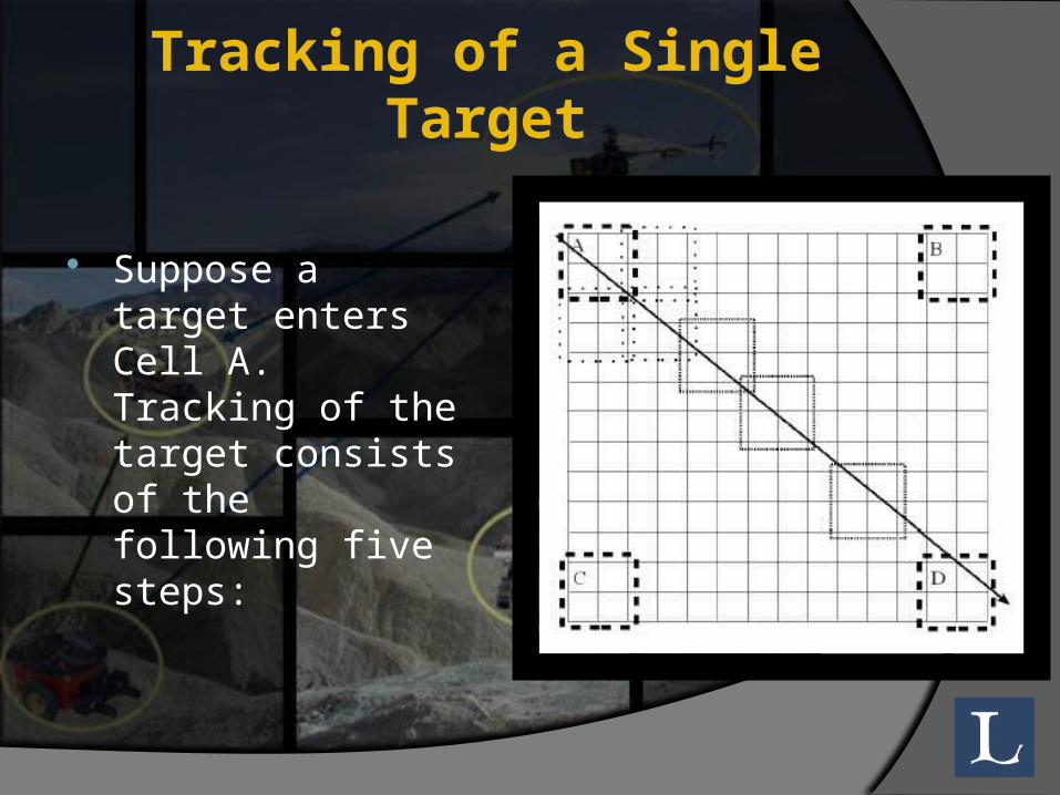
Tracking of a Single Target
Suppose a target enters Cell A. Tracking of the target consists of the following five steps:
Tracking of a Single Target1. Some and perhaps all of the nodes in Cell A
detect the target.2. each time instant, the manager nodes determine
the location of the target from active nodes3. The manager nodes use locations of the target
to predict the location of the target future time instants.
4. The predicted positions of the target are used to create new cells that the target is likely to enter
5. Once the target is detected in one of the new cells, it is designated as the new active cell
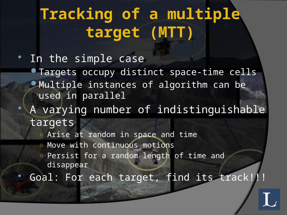
Tracking of a multiple target (MTT)
In the simple caseTargets occupy distinct space-time cellsMultiple instances of algorithm can be used in parallel
A varying number of indistinguishable targets ○ Arise at random in space and time○ Move with continuous motions○ Persist for a random length of time and disappear
Goal: For each target, find its track!!!
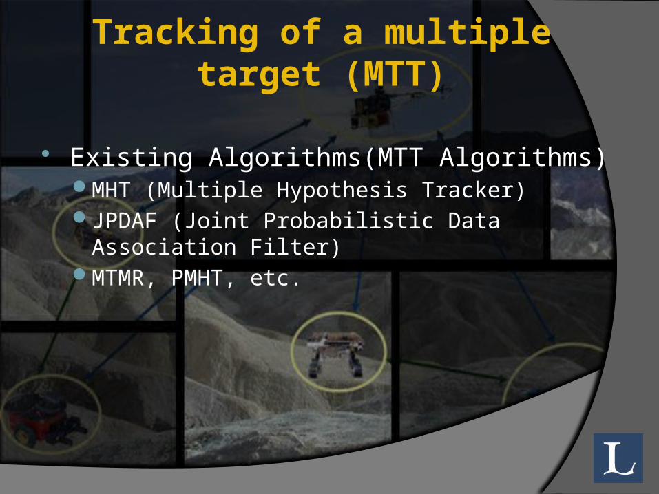
Tracking of a multiple target (MTT)
Existing Algorithms(MTT Algorithms)MHT (Multiple Hypothesis Tracker)JPDAF (Joint Probabilistic Data Association Filter)MTMR, PMHT, etc.
Classification of Target Tracking
The two approaches for Target Tracking WSN are
Centralized target Distributed
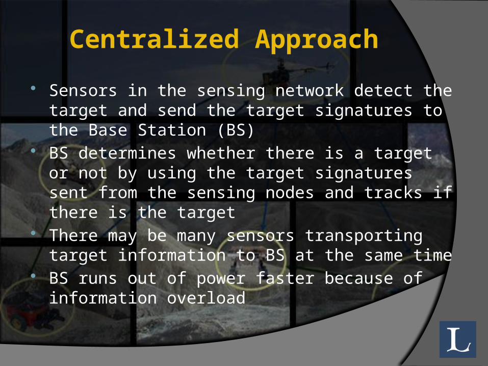
Centralized Approach Sensors in the sensing network detect the
target and send the target signatures to the Base Station (BS)
BS determines whether there is a target or not by using the target signatures sent from the sensing nodes and tracks if there is the target
There may be many sensors transporting target information to BS at the same time
BS runs out of power faster because of information overload
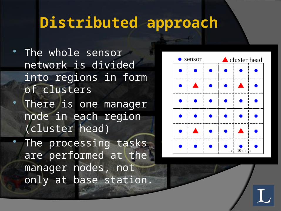
Distributed approach The whole sensor
network is divided into regions in form of clusters
There is one manager node in each region (cluster head)
The processing tasks are performed at the manager nodes, not only at base station.
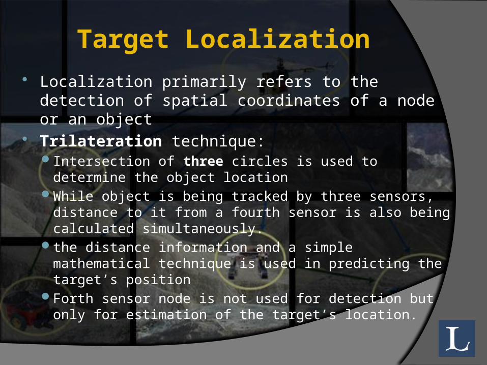
Target Localization Localization primarily refers to the detection of
spatial coordinates of a node or an object Trilateration technique:
Intersection of three circles is used to determine the object location
While object is being tracked by three sensors, distance to it from a fourth sensor is also being calculated simultaneously.
the distance information and a simple mathematical technique is used in predicting the target’s position
Forth sensor node is not used for detection but only for estimation of the target’s location.
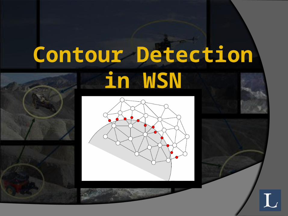
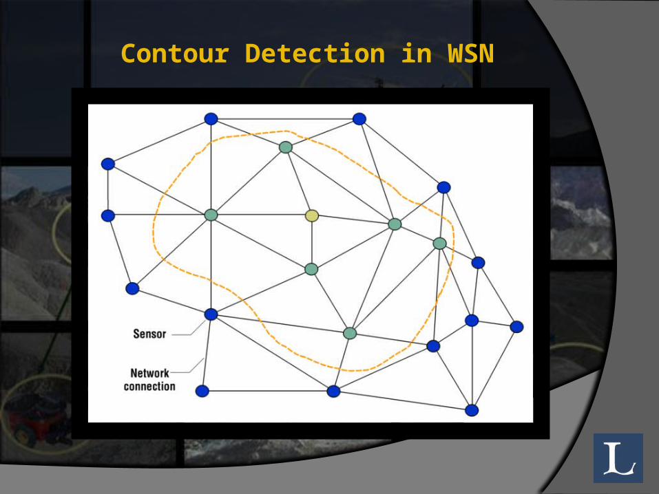
Contour Detection in WSN
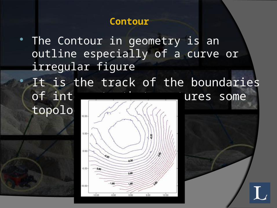
The Contour in geometry is an outline especially of a curve or irregular figure
It is the track of the boundaries of interest that captures some topological changes
Contour

Contour detection is carried out on a sensor field
The sensor field often spans over a large geographic area and encompasses hundreds of thousands sensors to observe a particular physical phenomenon.
A contour map is a useful data representation schema that provides an efficient way to visualize the field monitored by sensor networks.
Contour Detection in WSN
Contour Detection in WSN
Contour Detection in WSN A group nodes Generate contour maps for the
region which it covers Contour lines(isoline) offer more detailed
information about the underlying phenomenon such as signal’s amplitude, density and source location.
Contour maps provide an efficient way to visualize fields sensed by wireless sensor networks.
Application of Contour Detection
Mining Industry. Used in Face recognition, Pattern matching
object tracking in the pedestrian tracking network.
Transportation Congestion. Environmental Monitoring. Industrial sensing and diagnostics

…Questions