the definition of border is a wall or line that seperates two countries or states
TRANSCRIPT

ABCS OF GEOGRAPHY
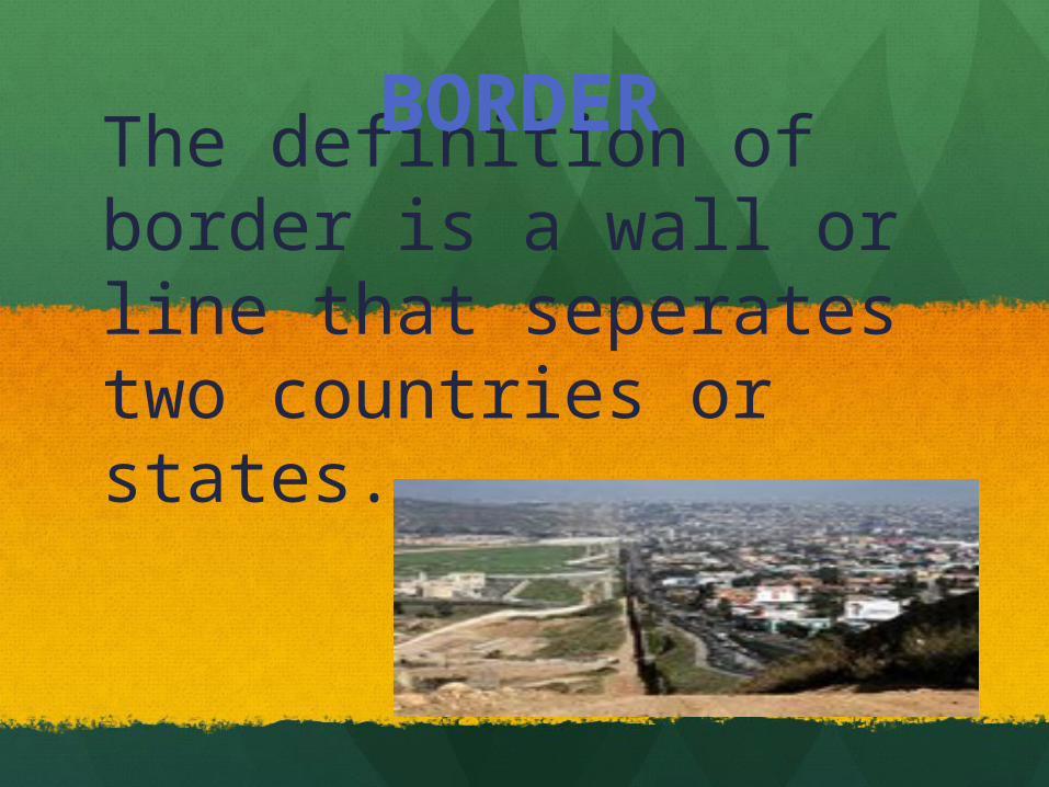
The definition of border is a wall or line that seperates two countries or states.
BORDER

Feature: is a detail that helps you figure out what something looks like.
Feature
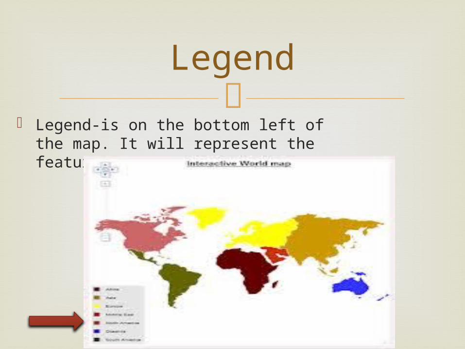
Legend-is on the bottom left of the
map. It will represent the features on the map.
Legend
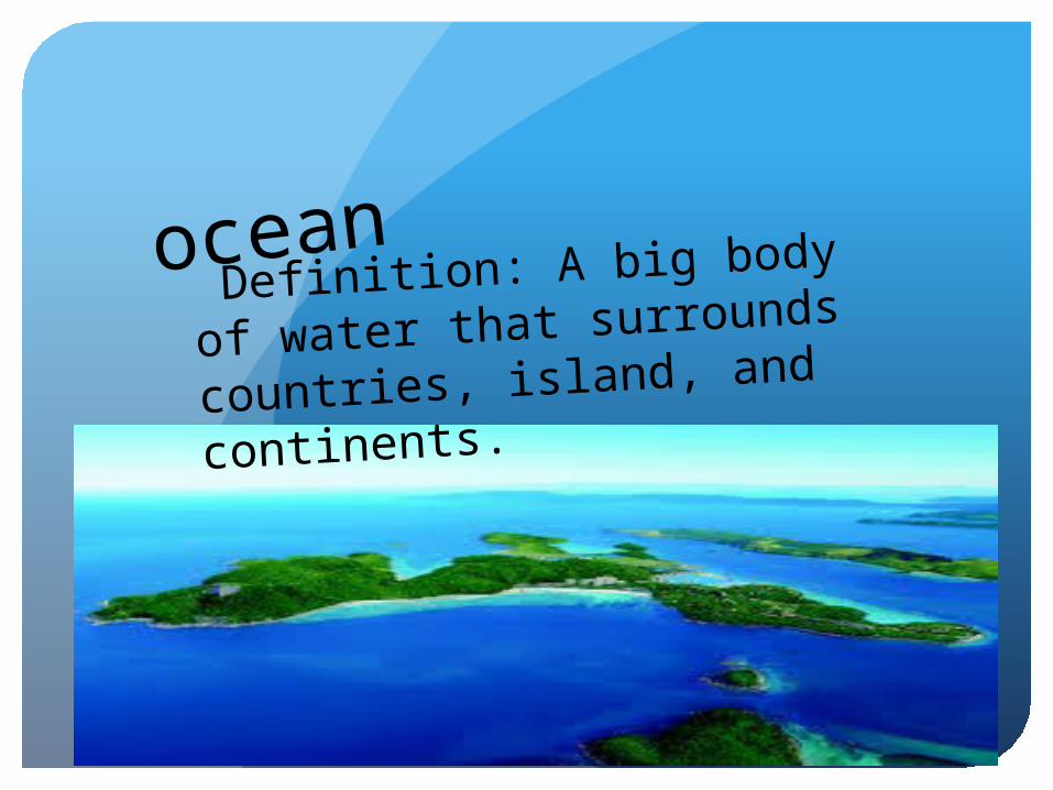
ocean
Definition: A big body of
water that surrounds
countries, island, and
continents.

BORDER DEFINITION
A border is a line or wall to divide a country and
continent

Continent : any of the world's main pieces of land.

Latitude/Longitude
Latitude and Longitude are imaginary lines drawn on maps/globes to easily locate places or people and things on Earth.
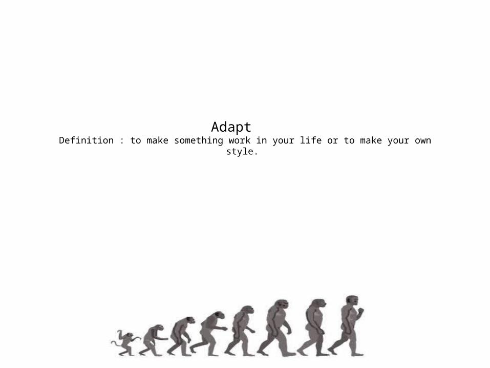
Adapt Definition : to make something work in your life or to make your own style.
Part of speech : verbOther forms of adapt : adaptation ,
adapting

S
OceanThe ocean is a large body of salt water.
By: Julisa and Gabriela
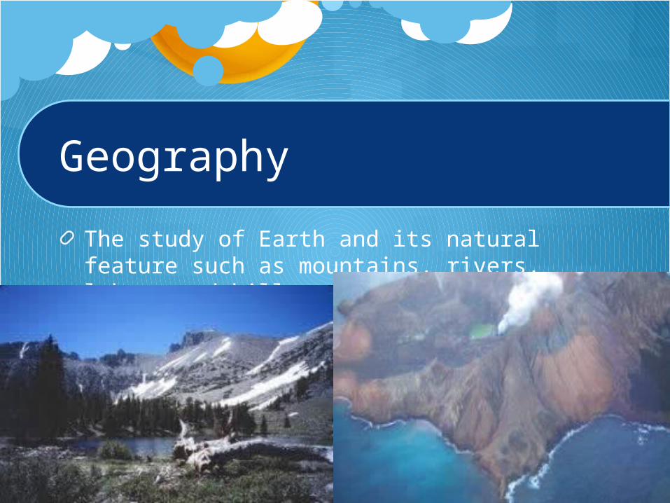
Geography
The study of Earth and its natural feature such as mountains, rivers, lakes, and hills.

{
scale
A rule determining distances between two marks.

LegendA legend is a box on a map that tells you
were to find specific things like states ,capitals, and cities.
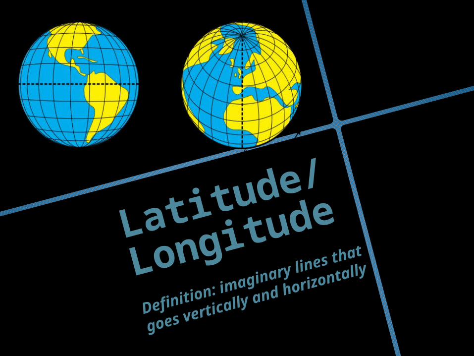
Latitude/
Longitude
Definition: imaginary lines
that goes vertically and
horizontally