the european code of conduct - ordem dos engenheiros
TRANSCRIPT
1
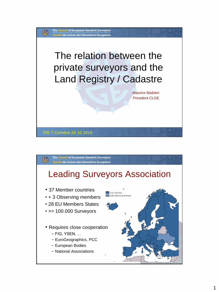
The relation between the
private surveyors and the
Land Registry / Cadastre
Maurice Barbieri
President CLGE
FIG 7 Coimbra 26 10 2016
Leading Surveyors Association
• 37 Member countries
• + 3 Observing members
• 28 EU Members States
• >> 100.000 Surveyors
• Requires close cooperation
– FIG, YSEN, …
– EuroGeographics, PCC
– European Bodies
– National Associations

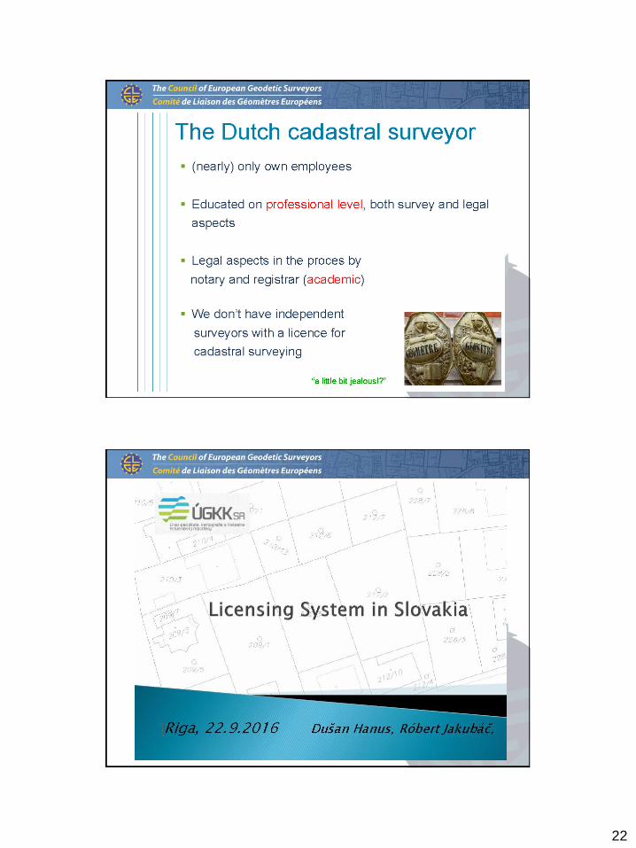
2
Incoming Board 2016 - 2018
Executive Board
President
Maurice Barbieri (CH)
Secretary-General
Vasile Chiriac (MD)
Vice-President
Nicolas Smith (FR)
Vice-President
V. Tikhonov (RU)
Vice-President
Duncan Moss (GB)
Treasurer
D. Seitz (DE)
IG - PARLS
Clemens Kiepke (DE)
Vice-President
M. De Buitleir
Vice-President
Mairolt Kakko (ES)
FIG Young Surveyors
Diana Becirevic (HR)
Vice-President SA
Rudolf Kolbe (AT)

4
“Code of Professional Qualification for
Property Surveyors”
www.BlueParking.eu
(GNSS surveys to map P for disabled people)
5
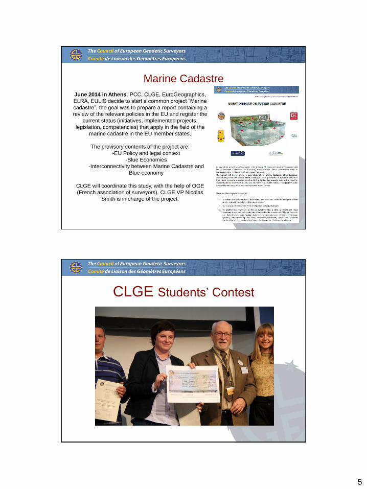
Marine Cadastre
June 2014 in Athens, PCC, CLGE, EuroGeographics,
ELRA, EULIS decide to start a common project “Marine
cadastre”, the goal was to prepare a report containing a
review of the relevant policies in the EU and register the
current status (initiatives, implemented projects,
legislation, competencies) that apply in the field of the
marine cadastre in the EU member states.
The provisory contents of the project are:
-EU Policy and legal context
-Blue Economies
-Interconnectivity between Marine Cadastre and
Blue economy
CLGE will coordinate this study, with the help of OGE
(French association of surveyors). CLGE VP Nicolas
Smith is in charge of the project.
CLGE Students’ Contest
6
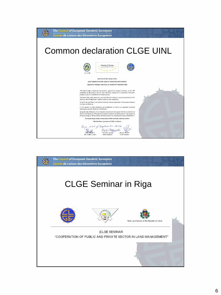
Common declaration CLGE UINL
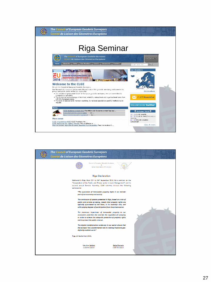
CLGE Seminar in Riga

7
13
The Swiss case: 100 years of PPP
CLGE Seminar Riga, 22 September 2016
Maurice Barbieri, President CLGE
On behalf of IGS
Gesamtösterreichische Tagung des Ingenieurkonsulentinnen für Vermessungswesen 17-18.10.2013 - Kufstein
Basic Dimensions
SWITZERLAND
41'290 km2
8.1 million people
26 cantons
~2600 municipalities
~4.0 million parcels

8
15
Four official languages
16
Federal Country with 26 Cantons…
Cantons maintain
their own political
and administrative
bodies

9
17
… and 2596 Municipalities
Cantons are further
divided into
municipalities
18
Swiss cadastral system
Land RegistryCadastral Surveying
• main book
• auxiliary registers (in
particular the list of property
owners)
• deeds (records and
evidences)
• description of
properties
• day book

10
19
Roles in cadastral surveying
Cadastral surveying in Switzerland is an effective example for public private
partnership. There is a close cooperation between public authorities – the
Federal government, cantons and municipalities – and the private sector.
20
Role of Private Sector
Two Partners in a Public Private Partnership.
Private SectorPublic Sector
• legislation (Federal and
cantonal level)
• financing structure
•setting standards
•supervision
•co-ordination
•verification
•production
•maintenance
•service to clients
• innovation

11
21
Role of Private Sector
Surveyors entrusted with cadastral surveying are carrying out a
sovereign function and are in this respect regarded as persons of
public trust.
22
Private Sector – Why?
• By delegating sovereign duties to the responsibility of the private
sector, the federal government can reduce its administrative work
load.
• The potential for innovation is
• Considerably increased by including
the private sector
• The private industry is based
locally = customer proximity
• Peripheral regions are
provided with quality
work places
12
23
Private Sector – Why?
• Initial Survey and Renewal
of the cadastral survey
• Continuous and periodic
updating
• Data Processing
• Data management
and data backups
• Data delivery
• Consulting
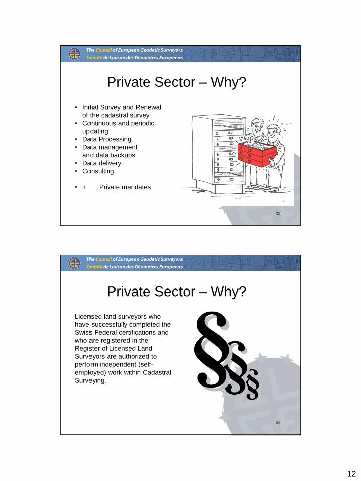
• + Private mandates
24
Private Sector – Why?
Licensed land surveyors who
have successfully completed the
Swiss Federal certifications and
who are registered in the
Register of Licensed Land
Surveyors are authorized to
perform independent (self-
employed) work within Cadastral
Surveying.

13
25
License and Register: Why?• A license issued to cadastral surveyors and an entry in the register for
licensed surveyors guarantee a minimal standard of professional and
personal competence in cadastral surveying.
• Through the Federal Register for licensed surveyors, the surveying
ordinance makes a clear distinction between an educational certificate,
professional practice and disciplinary measures.
26
Path to License for Cadastral
SurveyorAcademic education
Practicalexperience
2 years
State examination
Register
Master of Federal Institute of
Technology (ETH), Universities,
Universities of
Applied Sciences
1 2 1 LicenseProfessional accreditation
1
2
Desk study accreditation of academic requirements by Cadastral Surveying Commission
Additional modules to meet requirements are optional

14
27
Academic requirements
28
Universities
HEIG-VD Haute École d'ingénieurs et de gestion
du Canton de Vaud
EPFL École polytechnique fédérale de Lausanne
FHNW Fachhochschule Nordwestschweiz
Federal Institute of Technology and Universities of Applied
Science…
ETHZ Eidgenössische Technische Hochschule Zürich

15
29
State exam covers four topics
• Cadastral surveying
• Geomatics
• Land management
• Corporate management
30
Register of surveyors
• Only for persons practicing in cadastral surveying in the private
sector and in public institutions
• Duties and supervision apply to the persons registered
• Accreditation to carry out the functions of a licensed surveyor
16
31
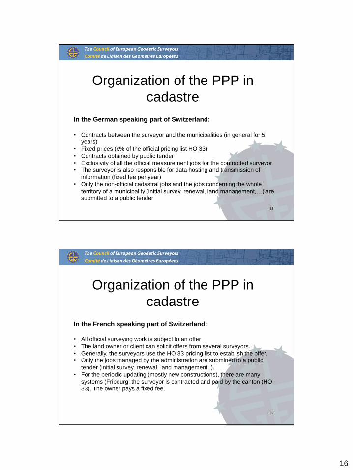
Organization of the PPP in
cadastre
In the German speaking part of Switzerland:
• Contracts between the surveyor and the municipalities (in general for 5
years)
• Fixed prices (x% of the official pricing list HO 33)
• Contracts obtained by public tender
• Exclusivity of all the official measurement jobs for the contracted surveyor
• The surveyor is also responsible for data hosting and transmission of
information (fixed fee per year)
• Only the non-official cadastral jobs and the jobs concerning the whole
territory of a municipality (initial survey, renewal, land management,…) are
submitted to a public tender
32
Organization of the PPP in
cadastre
In the French speaking part of Switzerland:
• All official surveying work is subject to an offer
• The land owner or client can solicit offers from several surveyors.
• Generally, the surveyors use the HO 33 pricing list to establish the offer.
• Only the jobs managed by the administration are submitted to a public
tender (initial survey, renewal, land management..).
• For the periodic updating (mostly new constructions), there are many
systems (Fribourg: the surveyor is contracted and paid by the canton (HO
33). The owner pays a fixed fee.

17
33
Organization of the PPP in
Switzerland
• The HO 33/TH 33 is a jointly
approved price list (IGS/cantons)
for the periodic updating
• It is applied in the most of the
cantons.
• It is periodically updated
• It is legally accepted by the cantons
(not considered as a cartel pricing
list)
34
Organization of the PPP in land
consolidation
• Land consolidation is also made by
private surveyors
• Multidisciplinary team
• Licensed Surveyor as key person
• Every step is based on legislation
• No civil servant or notary is needed
• Forced procedures or voluntary
procedures
• The State (CH + cantons) finances
80% of the works
18
35
Public Data / Open Data

19
20

21
22

23

24
25

26
27
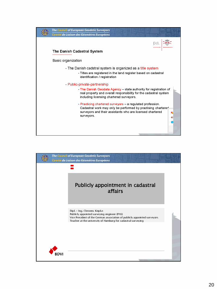
Riga Seminar

28
“The guarantee of immovable property rights is an intrinsic part of our economy and society.
The continuum of systems presented in Riga, based on a mix of public and private surveying, reveals that property rights are typically guaranteed by the State, in its sovereign role, and with varying degrees of participation from the private sector.
The enormous importance of immovable property to our economies underlines the need for the regulation of surveying in order to achieve the adequate protection of property rights and to protect the public interest.
The digital transformation underway in our sector shows that the surveyor has a fundamental role in creating the future geo-digitally enabled world.”
Riga Declaration
56
Thank you for your attention