using gis data for uganda
TRANSCRIPT

S
Reaching for the Sky:
Open Satellite Data
Jeanne HolmUniversity of California,
Los Angeles (UCLA)@JeanneHolm

2
Uganda Geospatial Data
Satellites gather data to monitor the Earth => GIS (geospatial information system)
Such data is high-fidelity, real-time views of locations or conditions from the ground through the upper layers of the atmosphere Atmospheric data Earth data Ocean data Socioeconomic data
February 26, 2015

3February 26, 2015

4
Global Climate Change
February 26, 2015

5
Analyzing Data
February 26, 2015

6
Analyzing Data
February 26, 2015

7February 26, 2015

8
Earthquake Activity
February 26, 2015
9
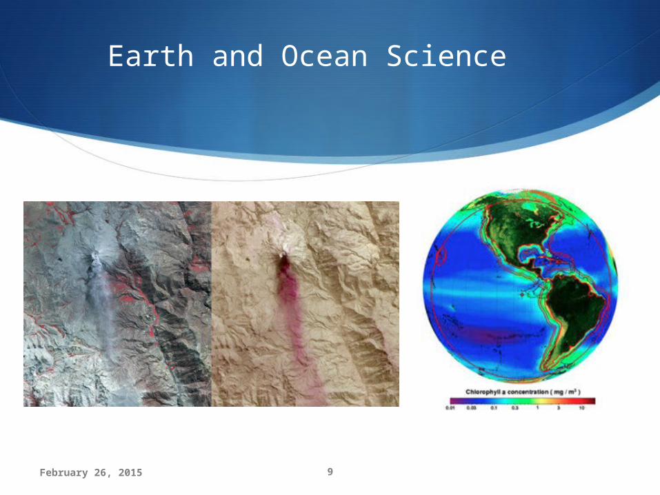
Earth and Ocean Science
February 26, 2015

10
100,000+ collections
349 citizen apps500,000 data
resources175 agencies
410 APIs
February 26, 2015

11
Helping others through a disaster
February 26, 2015

12
700,000 downloads of a transportation app
using data from Data.gov
Early warnings save lives
February 26, 2015
Hurricanes and Emergencies

13
Deep Water Horizon Disaster
Lower images are the oil slick as seen from space by NASA's Terra satellite on 24 May 2010
February 26, 2015

14
Creating a multi-billion dollar
industry
February 26, 2015

15
Weather Data + GPS = $100B Industry
February 26, 2015

16
Crowdsourcing Data
February 26, 2015

17
USAID Food Security Challenge
USAID wanted to develop apps to increase food security “Crowdsourcing the questions and
crowdsourcing the solutions” Three Ideation Jams Code-a-
thon and a Data Palooza 10,000 data entries corrected with
145 volunteers in 16 hours with 85% accuracy
http://idea.usaid.gov/g8
February 26, 2015

18February 26, 2015

19
http://www.usaid.gov/results-and-data/progress-data/data/dca
Map at: http://storymaps.esri.com/stories/usaidcredit/
February 26, 2015

20
Creating Citizen Scientists
February 26, 2015

21February 26, 2015

22
What GIS Data Do You Need?
Working with the Government of Uganda to understand open data needs
Collecting needs, ideas, and requests
@JeanneHolm
February 26, 2015

23
What Will You Do?
Explore geospatial data in Uganda
Identify an issue within and between regions
Create a map
Create an app
Join Africa Open Data MeetUp International Open Data = Ebola DataFebruary 26, 2015