v* oeomaon1tzc sunrsx apex cok30lidatkd itesoohcbs … · tutr (cont'd) . alternatively a...
TRANSCRIPT

•* * *••"•V'*s
OEOMAON1TZC Sunrsx
APEX COK30LIDATKD ItESOOHCBS LTD.
Township 151
SUDBURY NZlOirO DIVTSIOM
' QBOHAQNETIC 8UHVKY .* ' "- ' - ' - '. i ' .'" APEX COMSOLTDATEP HBMRCTCBS LTD,—I ———— —T ——— 4. , - . —————————— -
' .' ' Township 151' . - \ * """ r' " ' -*- ' — - - - — _ - ""
SUDBOHY MIHIKQ PiVIAIOH
•*'f.t' - - .Thl* property of Apex ConsolldAted Itetourcei Ltd., c on i l* t* of olalaa loom ted la Township 151. Sudburr Hlnlng Division. Th* ci*!** ar* all nu*ber*d at follow* s - 3-71238 to S-n26l| S-71785 to 3-7178?! S-71797-3-71805) 3-71265 to S-71268) and S-72640 to 3-72648, all Indus Ir*.
offioa of Apex Consolidated Resource* Ltd. is located at 402- 100 Adelaide Street Vest, Toronto, Ontario, "m* l r Mining licence number is 4-29666.
There has been exploration work including drilling done for base metals, approximately 7 niles south-west of this property.
LOCATION A ACCESS
ttie property of Apex Consolidated Resources Ltd., Is located in Township 151, Sudbury Mining Division. The 49 claims are in one block, on and immediately north of Helenbar Lake. The east boundary of the block of claims is seven eighths of a mile east of the township lin* between Township 157 And Township 151. The north boundary of the block of claims Is approximately one half a mile south of the Township line between Township "IT and Township 151.
The best way of approaching the property is by aircraft from Algoma Mills, Ontario, a distance of approximately 40 miles to the south. The property can also be approached by road and canoe by taking the White River road and the old Bl-Ore Mines road to Plack Lake then by boat to Semlwhlte Lake and Helenbar Lake. There are a few portages on this route.
OHHERAL OEOLOOY
The general strike in the area is approximately 75 degrees east of north. On this property the observed outcrops were quartzite, diorite, and a.ltered quartzite. In the north-east portion diabase outcropping was observed.
One main fault extends tom the north arm of Helenbar Lake in a north westerly direction. In the central and north east portions several minor faults are possible.
GEOPHYSICAL BPRVST
A true east-west baseline was started at approximately the middle ox" slalm 3-72643* and run in an easterly direction, a distance of 9390 feet to the east boundary.
I*K'*.-;,* -**. - ' ' ••.••".'.". .! -.'-:,- A ' : J--"". * . ".*-- ;'-j -' '- - ; -. AM property ia located in-an area where paat and present?*-,nortcri very good bag* ••ioal work ia indicatod in ttoa annMly areaa. This
v, tolo. Hore detailed
.,, .—— should be of an electrical nature, to locate possible conductive "'bodies. Pollowint this, drilllnc of any eowdoctlve bodies it u indicated.
IU*pectfully aub^Ltted,
S. L . Staff JIn ter-Provincial Geo physic* Ltd.SPANISH, Ontario.
^v:

R f' * t f: t.
8 c *
rjo o
*et
S 8S
^8C
*
*r.
gtt
P
f *r
*
\3ttV
tt
1 '.i
.tf•v-
iTK'"
'*
-. 'V
i'-.*'
" -i-.v
^w.
"' vf
tf
vj
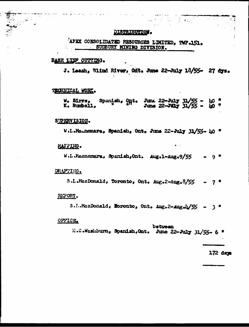
'APEX COHSOLIDATSD RESOURCES LIMITED, TWP*l5l*MINIHQ DIVISION*
BASE LISP
J. Uuh, Blind Rlror, Ortt. Jan* 22-JMly 10/55- 2? dy0
tfOBE.
W* Slrrs, Sponlah, Qnt. June, 22-July 31/55 - 1*0 " K. Badball, " ^ ftm* 22-Wly 31/55 - i|0 "
SUPERVISION*
V.L.Mounmaupa, flpaniah* Oat* Jim* 22- July 31/55- 1*0 '
W.L.Haonnnara,
S.L.HacDoimld, Toronto, Ont. Aug*2-Aug*8^5 - 7
REPORT.
S.L.KaoDonaldf Boronto, Ont* Aug*2-4ug*V55 - 3
OPFICB*between
Spanlah,0nt. Juno 22- Joly 31/55- 6 *
172 dap

I*f MACDONALD•NOINBKR
Second Floor
Toronto 1, Ontario W. EM. 3.0737
tuieseeeia ea MA i HEMBRUFF OSO
0 71265 -a-71Tt3 - 8-717*79-71797 - 9-71105&-72640 -
MCTDIO
Of ILODilA
9 S*p**^or, 1955*
HOT 1O BC REMOVED FROM
THE OFFICE OF THE RCSIDEHU
GEOCOGJST. ONT. DEFT. OR MINEti
1AULT STE. MARlEi ONT* ^

'" SCOTS Q? WORKr' 1 ,-.'. -
•^'."' rr The programne of exploration work laid oat for this claim holding, the property of APEX CONSOLIDATED KSSCVRCfS LDTFFKD, for the ••avon of 1955 and to bo applied to the working conditions of the Mining Act, a* amended on the 30th of stay, 1955, constated of the following: l* establishment of a base line in an east-west direotion to roughly
dlrldo th* contained acreage. 2. A compass surrey of the clalma tc act aa intermediate boundary
markers.
3* A geological surrey of all rock outcrops.4. A rough contour plua of the area.
5. Geiger counter readings of areas of some promise.Herewith t r isur.e of results obtained during the field
season of 195S
The property ccr.viats of 49 unpitwntwi mining c In in* prising approriaately 2CC/0 -seres, and ia situated in the north-west ({Darter of Township 151, Sudbur- Mining division ir. tins Wotrict of Algona*
Thin pror*rty fome part of th* .nuthwrn portion of what is descrioed locally aw the 3ti*M4i Lake Area. ACCBSSI^UTY
Th* i ro pert y is readily r* -ched by air from the base at Algoma kills located en the 3udbury-3ault Ste. liar 19 line of Canadian Pacific Railways; excellent la&ding facilities being provided ea Helenbar Lake.
S. L. Mtcdonttd, ML
TUTr (Cont'd) .Alternatively a canoe route exiata from the Whit* RiTer
Bead ria Wilkie, Jlack and Semiwite Lake* Into Heleabar Lake* GEOLOGY
The northern part of thia property la underlain by a cherty quartzite whilst the southern part of the property ia under lain by the upper white quartzite, both type* of rook being part of the Cobalt aeriea of Huronian Age. Again t a* northern part of the property fella abruptly from a high ridge area into a low lying sand and swamp area foaming the basin of the Boland RiTer*
The entire property la Intruded by numerous dykes ari sills of diabase of Keewanvws
WORKl* The detailed napping of the area in no sense changed the picture
first envisaged by the geological mapping of t h* ere* carried out by the Ontor'o Department of Mines.
The map attached shows the eaae general pr-rtraynl of flat lylni" strata of quartz! tea *ith a preTaillnt; dip to the
3.
?hb area was found tc le extremely rugged with local bills risingto roae y O ,eat over the preTailing lake levels.Thu occurrence of diabase in illl fora waa more marked than h*originally been suspected, Thla generally seamed to conformwith the dip of the quartz! tea. Only le c ally was any pronouncedunconformity noticed.
Other l itrusirea noted were snail bossfe and dykes of dioritewhich hare not been differentiated on the attached map*
S. L M*cdoo*M, ME.
- 3 *.
Rf".
lOHg KHTOMI3D; ( oont'd)
5* The only Geiger oonnt otbdr than background occurred in the centralpart of olaia Ho* 3-71246 near the rest boundary*
Detailed examination failed to reveal any radio-activeMaterial and tnere doe* not appear to be acy particular reason forite occurrence*
6* The northern part of the property would appear to offer the beetarea for any further work u- cJertaken ae it i* an area essentiallyof cherty quartzite which underlies the upper white quartzite*
Respectfully subaitted,
(3. L. UftCdonaH 3. So.)
Dated at Toronto tfci* 9th d ay of Jeptember 1955.
S. L. V*edoo*W, M.L

MACDONAI.D•MOINBBM
OaUorio BoptftMomt of
Stcwid Floor
Toronto 1, Ontario Td. EM. 3.0737
900
t* 1955.
K* Olml** No*. 8-7U38 to 8-712418-71245 to 0-71268 tM* 5-717*5 to 8-717*7 IM. 8-71797 to 8-71*05 i**.
_________a-7a4iO to 8-724U too.
OLXDATKD Toronto, la th* at
Tte •boT*-*MtiOMd B80WCU LJMTKD, Salt* 402, 100
it i* r*aa**t*4 that *ay wort p*rfD of tk* Coiip*Aj*
Tear*
A?XX
*d •hoald b* r**erd*4
tralj,
SLM/wb.

AP (5)
- •'"'.^'^ii-'-.'.-., •' f•'•j? j-'.'sV^v, Si.''5, a 'S-ifi-'* '"

OWMSHf P
DIABASE
UPPEl'R WHITE QTZTf
CHERTY QL/A-RTZ/TE
OUTCROP B OUNDARY
CONTOUR LlfV
: S-7 f 7 85-7/7*7
^5 -r/? 5*Si-7/2 55
5-72645 :
S-7J15I \
-f/240
6-7/ZS-O
.5-7/249 -T/245
L^BASE L fift
5-7/735 5-7/248- 7/759
S-Y/Z3S'.^r
S-ft* O Z
-7/803 *'-lirS05" f /C WU"
APEX CONSOLIDATED^ RESOURCES LIMITCD
lin ^ 500 ft001 AA i HEMBRUFF 200

—o-
hi
5-71253^v 1. 1 f t * ^^-71787
3-72 645
5-72.64-726461
^•ft
5-7179f r ' "/T'X
5-71798H-/5O7 ./wo
5-71^48
'47 '•/.r^2
S-7I8O4 I2.3Q5-71 8OO
S-7I8O2 5-71803 5-7180
LAKEHELENBAR
o
A
A
SCALE-1 I NCH -
GEO-MAGNETIC 5URVEV
APEX CONSOLIDATED RESOURCES LTD.TON^NSHIP 15
SUDBURY MINING DIVISION
vScale-linch equals 3OOfeet
41J10SE00I2 0014A1 HEMBRUFF 210

5-71^545 ^/ClJ.
5-7125^.\*tS7L .~~ -
1238
•/Ste ~W4.f
5-71267 5-71268-71265rtfof
A
A
ITIC SURVEY
ED RESOURCES LTD.SHIP 15
NING DIVISION
3OOfeet
LEGEND
l. QUARTZITE
DIORITE
3 DIABASE
CONTACT
FAULT