vegetation field plot protocol using the national...
TRANSCRIPT

The National Vegetation Classification Standard Vegetation Data Plot Protocol
Developed by Montana Natural Heritage Program1515 East 6th Avenue
Helena, MT 59620-1800http://mtnhp.org/

Overview
� Vegetation field plot data must be collected and archived in a consistent manner and must be based on quantitative analysis.
� Using the NVC data collection protocol will help expedite development of the NVC classification and the ability of agencies and their partners to share data and mapping products for resource management and conservation.

Overview� The NVC requires field data be collected and archived
in a consistent manner and are publicly available.
� This requires adherence to plot design and data collection standards.
� Two types of plots are recognized: classification plots, which are used to derive vegetation types, and occurrence plots, for documenting previously defined vegetation types.
Data Collection Methods
� A stand is selected to represent the community� The plot should capture species diversity and abundance
(cover)� The general structure found in the community is
characterized.� Geographic coordinates are noted to relocate the plot.� Basic information-- date measured, observers, plot type and
size-- is recorded.� Ancillary data such as physical attributes (slope, elevation,
aspect, hydrology, parent material, soils) of the plot location are gathered to guide interpretation of vegetation.

Required Components of NVC Field Plot
� Stand selection and plot design
� Species composition of the plot
� Vertical structure and physiognomy of the plot
� Physical data of the plot
� Geographic data for the plot
� Metadata for the plot

1. Stand Selection and Plot Design� The plot should be established in
a relatively homogenous unit of vegetation
� Criteria used to select stands should be thoroughly documented.
� A plot must be large enough to represent the stand in terms of total species composition and abundance.
� A plot can be either a single, large comprehensively sampled plot (Macroplot) or a set of sub-sampled areas (Microplots) within a larger plot.

2. Species Composition
� Name and dated taxonomic reference of all recorded taxa
� Middle and lower tiers of the NVC hierarchy (levels 4-8) require identification of genera, species, and finer taxa(subspecies, varieties).
� Abundance of vascular plant species in plot
� Measurement of canopy cover

3. Vertical structure and physiognomy of the plot (stratum or growth form)
� Each plant is assigned to a stratum based on its height, and secondarily to its growth form.
� Estimates of abundance of each stratum or growth form are also required.
� This can be done two ways:
� Describe growth forms, then subdivide these into layers.� Describe strata and subdivide these into growth forms
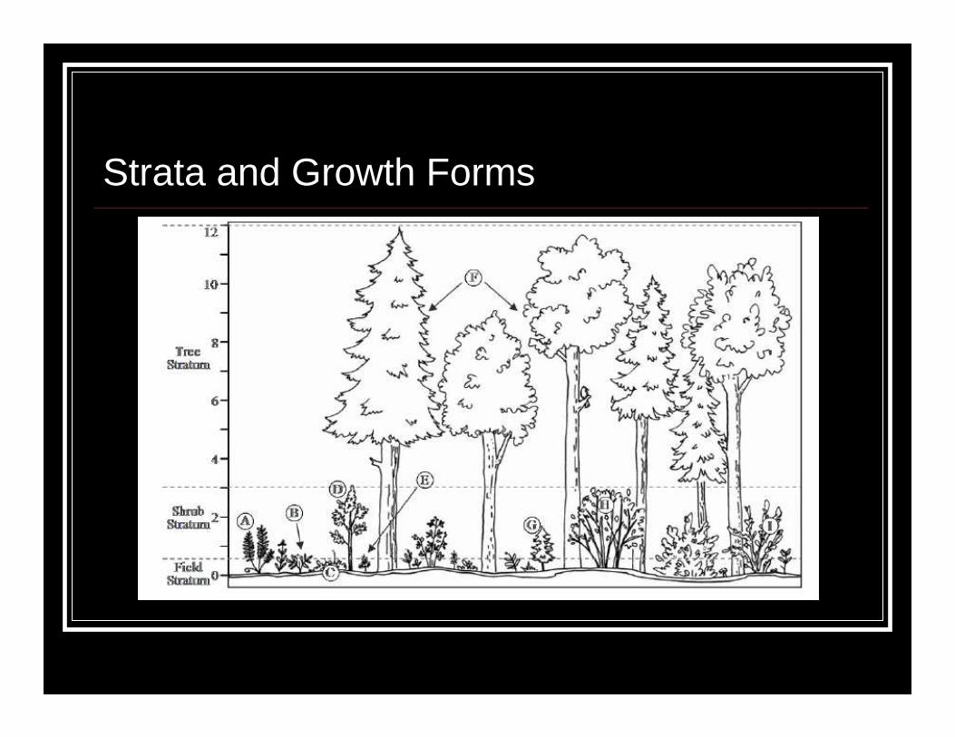
Strata and Growth Forms

Vertical structure and physiognomy

4. Geographic Data for Plot
� Longitude and latitude in decimal degrees and WGS 84 (or NAD 83) datum .� Coordinates collected in field� Location method/Accuracy� GPS, estimated from paper map or GIS, etc.� Estimate in radius in meters for 95% accuracy� Location Narrative� Any additional information to help relocate plot

5. Required Plot Metadata
� Author plot code� Unique identifier for plot� Author observation code� For multiple observations: unique identifier� Observation date� Accuracy of date (low for historic data)� Plot selection� Approach taken to select plot

5. Required Plot Metadata (continued)
� Plot Characteristics� Plot area (m2)� Plot Type� Sampling in entire plot or within subplots?� Cover or abundance methodology� Species composition� Growth forms� Strata
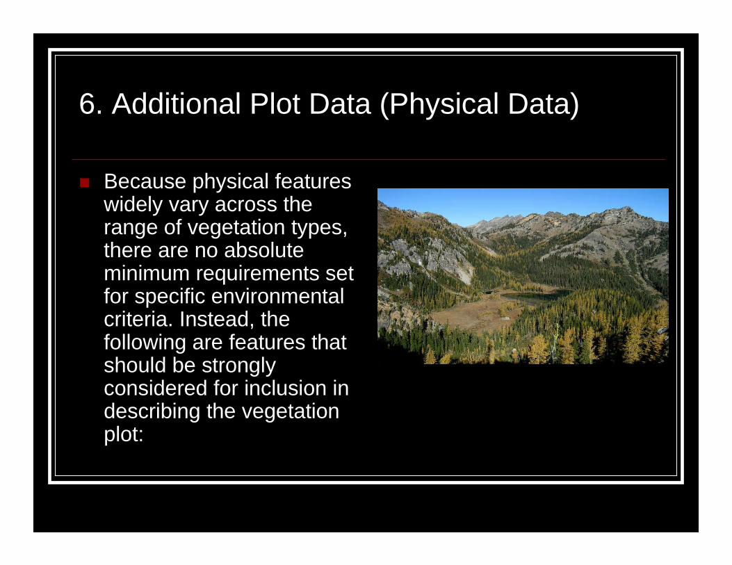
6. Additional Plot Data (Physical Data)
� Because physical features widely vary across the range of vegetation types, there are no absolute minimum requirements set for specific environmental criteria. Instead, the following are features that should be strongly considered for inclusion in describing the vegetation plot:

6. Additional Plot Data (Physical Data)
Stand Physical Features can include:� Landform; topographic position and geologic parent material� Water and Soil Features� Water depth, water salinity, soil moisture, and drainage� Soil Surface Characteristics, Soil Classification
General Vegetation Characteristics can include:� Landscape context, successional status, and evidence of
disturbance� Homogeneity of vegetation

Implementing plots in various vegetation types
� The NVC protocol standards apply to all vegetation types.
� We have included some specific considerations for implementing NVC standard plots and facilitating crosswalking between classification systems in some of the vegetation types occurring within Montana.

Alpine and Sparsely Vegetated Communities
� Sampling methods (such as subplot frequency) used in these communities should ensure high accuracy and high precision, especially when the goal is measuring small changes, as with long-term biodiversity monitoring or climate change evaluation.

Alpine and Sparsely Vegetated Communities
� The main stratum in these communities will consists of herbs, shrubs and non-vascular plants =ground stratum (lichens, mosses) growing on the rocks and scree.
� Physical attributes such as aspect and slope are important drivers of species diversity in these communities (higher on north vs. south facing aspects, for example)
Summit of Dancing Woman Mountain, Glacier National Park

Wetlands
� As with alpine communities, long-term sampling methods used in wetlands must capture changes in species diversity and hydrology.

Wetlands
� In open water, the main stratum in these communities will consist of floating, submerged and emergent herbs.
� Stratum of individuals and species within the open water section of the plot must be recorded.
� Additional physical attributes such as hydric soil indicators, hydrology, and disturbance factors are useful for evaluating wetland condition

Forest and Shrublands
� Forests and shrublandstypically have multiple strata.
� Individual species may be listed in several strata. For instance, when a individual tree species has seedlings, saplings and mature individuals occurring within the a plot.
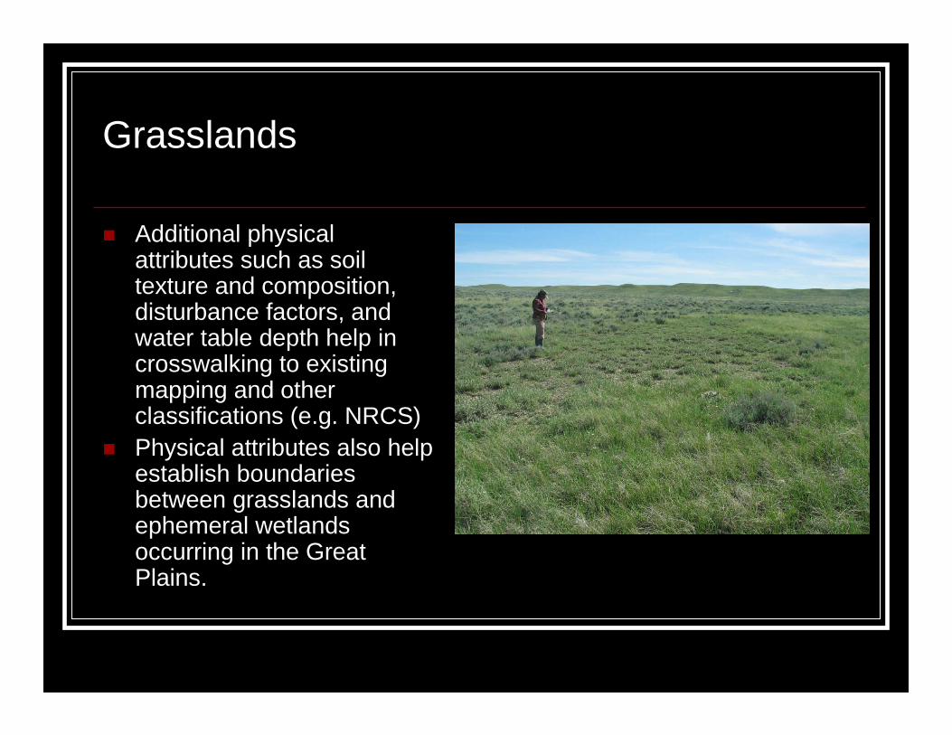
Grasslands
� Additional physical attributes such as soil texture and composition, disturbance factors, and water table depth help in crosswalking to existing mapping and other classifications (e.g. NRCS)
� Physical attributes also help establish boundaries between grasslands and ephemeral wetlands occurring in the Great Plains.

Summary
� The NVC vegetation plot protocol is basic and easy to use; all protocol components are used universally in vegetation monitoring projects.
� Implementing NVC standards does not impede the ability of users to add additional specific criteria for data collection.