web gis: build or buy? - gis-t symposium gist2017gotug.pdf · gis at mdot mdot support...
TRANSCRIPT

Technology at UDOT
ArcGIS Online
OpenLayers
ArcGIS Server
GeoServer
Oracle Spatial
data.udot.utah.gov
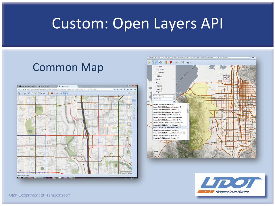
Custom: Open Layers API
Common Map

Custom Development Projects
Straight Line DiagramFiber Mapping

ArcGIS Online: UPlan
“Out of the Box”

Investment Partnerships
UMIP – Utah Mapping Information Partnership
Multi-Agency
6” Imagery
Statewide
Statewide Use

Why Blend Technologies?
TO KEEP UP!

Hybrid Approach
Benefits:
FlexibleInnovativeCost Effective
Challenges:
ComplexityMaintenance


Innovating Without Custom Development
Matt RobinsonMichigan Department of Transportation
GIS-TApril 12, 2017

GIS at MDOTMDOT Support• Centralized GIS area
• 5 FTE• 3 student assistants
• Department-wide GIS implementation• Enterprise Database Management• ArcGIS Online Administration• Mobile Data Collection• Training• Cartography/Map Making
IT Department Support
• Publish Services
• Statewide GIS projects• Server hardware/software• GIS software installation• License manager administration• Scripting/coding• Custom application development

Challenge #1: Building Custom Tools
• Can’t build or customize map applications• CSS, HTML, JavaScript• No access to public web servers
• Utilize Geoprocessing Services• Build out tools using Python in ArcGIS Desktop• Publish Geoprocessing Services• Incorporate services into ArcGIS Online Web AppBuilder
• Geoprocessing Widget
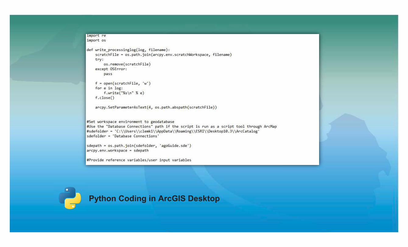
Python Coding in ArcGIS Desktop

Creating Tools in ArcGIS Desktop

Publishing Tools as Geoprocessing Services

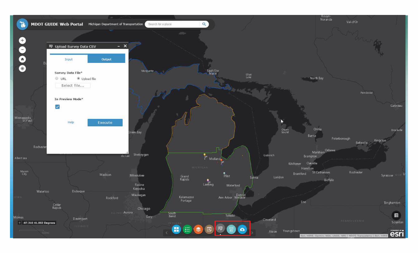
Geoprocessing Widget (Web AppBuilder for ArcGIS Online)

Configure the service input & outputs in the widget

• Non-spatial databases• Integrated into MDOT business
• Store spatial data in a GIS and provide a link to legacy application• ArcGIS Online web map pop-up configuration
• URL Parameters• Dynamically created based on a database field value• https://miloginworker.michigan.gov/mdot-waps6/cps/indvPermitView.htm?applId=36297:I&currApplIdOnScreen=36297
Challenge #2: Legacy Applications

• Non-spatial databases• Integrated into MDOT business
• Store spatial data in a GIS and provide a link to legacy application• ArcGIS Online web map pop-up configuration
• URL Parameters• Dynamically created based on a database field value• https://miloginworker.michigan.gov/mdot-waps6/cps/indvPermitView.htm?applId={PermitNumber}:I&currApplIdOnScreen={PermitNumber}
Challenge #2: Legacy Applications


Challenge #3: Limited Resources
• Small staff supporting department-wide solutions• Increase in popularity of having data at your fingertips
• If the idea is big enough, contract out services• Transportation Asset Management System (TAMS)
• Department-wide maintenance work order system• GIS foundation (Roads & Highways)• 3 vendor solution
• Session 5.3 (Asset Management Tools)

Contact
Matt RobinsonEmerging GIS Technology & ResearchMichigan Department of Transportation (MDOT)[email protected](517) 241-2277


