welcome to presentation on total station - a paprwssp.ap.nic.in/worldbank/ppt/total station.pdf ·...
TRANSCRIPT

Welcome to Presentation Welcome to Presentation onon
E D M’s & Total Station’sE D M’s & Total Station’s
bybyK.RAMESHK.RAMESH
Asst. Product ManagerAsst. Product ManagerLawrence & MayoLawrence & Mayo
SecunderabadSecunderabad..

What is Survey• Surveying is an art of determining
relative positions on the surface of earth with respect to each other.
• To represent the features of the objects on the ground graphically in a drawing the data on the ground will be collected using different survey methods and then it will be plotted in the drawing.

History of Survey• In olden days people used to measure
the distance between two destinations by manual estimation.
• Then linear measuring devises like chains are came in to use to measure the linear measurements and cross staffs to erect right angles.
• To measure the area of a boundary chains and cross staffs are being used by the people in olden days.


To eliminate this problem theodolites are introduced to measure the angular
measurements.
• The disadvantage of this method is that using a cross staff we can divide the area in to triangles. We can’t measure the angles accurately with cross staff.

In the first generation of the theodolite family vernire theodolites are introduced which works with the principle taking readings using
vernire scales.• The distance measurement can be
done using stadia constant in the theodolites.
• In the next generation 1” theodolites are introduced with the facility to fix EDM on the top.

Then electronic theodolites are introduced. These theodolites can also having facility to mount EDM on the top to measure distance.
• In electronic theodolite angels are being measured using two scales which are encoded to display the angular measurements in digital display fixed to the instrument.
We have to note the angular measurements from theodolite and linear measure measurements from EDM
• To plot the positions on drawing we have use a protractor and scale.
• If we use co-ordinate system we can directly plot the position on the drawing with reference to it’s X or E and Y or N.
To calculate co-ordinate from angular and linear measurements data we need to do mathematical calculations.
• These calculations are to be tabled in a sheet then those readings are to be marked on a graph sheet to represent the ground locations in a drawing.

What is E.D.M
• E.D.M is the electronic distance measuring device, measures the distance from the instrument to its target. The EDM sends out an laser or infrared beam which is reflected back to the unit, and the unit uses velocity measurements to calculate the distance traveled by the beam

Using E D M’s drawbacks

EDM’s measure in a straight line
• If the EDM is held horizontal, the results are horizontal distance.
• If the instrument does not include a means to level it, distance must be considered to be a slope distance.

• If the EDM is mounted on a theodolite or built into a Total Station, horizontal distance can be determined
• The instrument measures slope distance and vertical angles, then computes horizontal distance

If mounted separately, slope angle must be determined by another method to
arrive at horizontal distance.
• If separate, the EDM is usually mounted on a tribrach.
• Tribrach is a special tripod mount, which provides an optical means of locating over a point.

What is Total station ?....What is Total station ?....
A total station is a combination electronic A total station is a combination electronic theodolite and electronic distance theodolite and electronic distance measuring device (EDM). measuring device (EDM).
With this device, as with a theodolite and With this device, as with a theodolite and tape, one may determine angles and tape, one may determine angles and distances from the instrument to points to distances from the instrument to points to be surveyed. be surveyed.
With the aid of trigonometry, the angles With the aid of trigonometry, the angles and distances may be used to calculate the and distances may be used to calculate the co-ordinates (x, y, and z or northing, co-ordinates (x, y, and z or northing, easting and elevation) of surveyed points in easting and elevation) of surveyed points in absolute terms.absolute terms.


To calculate co-ordinates, the measured To calculate co-ordinates, the measured angular and linear data is transferred to a angular and linear data is transferred to a microprocessor in the total station.microprocessor in the total station.
Using the inbuilt programmes of the Using the inbuilt programmes of the microprocessor according to the programme microprocessor according to the programme chosen by the operator the results will be chosen by the operator the results will be displayed on the screen. displayed on the screen.
The co-ordinate data can be saved in the The co-ordinate data can be saved in the internal or external memory of the total internal or external memory of the total station instrument.station instrument.

About pentax
• Pentax’s industry-leading technology and products backed by our unrivaled passion for creativity help preserve the precious moments of life.
• PENTAX Surveying Instruments are widely used for surveying, mapping construction and land development.

About Pentax Total StationAbout Pentax Total Station
PENTAX R-300X SERIESPENTAX R-300X SERIES

About About PENTAXPENTAX
PENTAXPENTAX industry-leading technology and products industry-leading technology and products backed by our unrivaled passion for creativity help backed by our unrivaled passion for creativity help preserve the precious moments of life.preserve the precious moments of life.
PENTAXPENTAX Surveying Instruments are widely used Surveying Instruments are widely used for surveying, mapping construction and land for surveying, mapping construction and land development.development.

JSIMA
JAPAN SURVEYING INSTRUMENTS MANUFACTURES ASSOCIATION
PENTAX manufactures the most modern surveying instruments employing superior opto-mechatronics

Pentax R-300x series employ two Pentax R-300x series employ two unique featuresunique features
Automatic Environmental SensingAutomatic Environmental Sensing..
Auto Focusing.Auto Focusing.
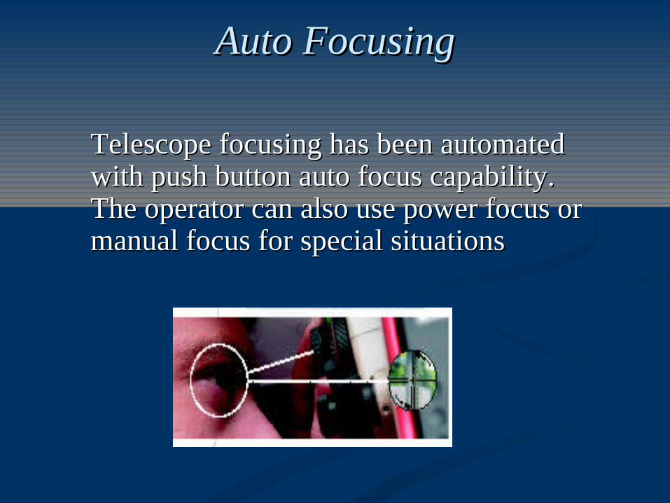
Auto FocusingAuto Focusing
Telescope focusing has been automated Telescope focusing has been automated with push button auto focus capability. with push button auto focus capability. The operator can also use power focus or The operator can also use power focus or manual focus for special situationsmanual focus for special situations

Automatic Environmental SensingAutomatic Environmental Sensing..
The environmental correction (PPM) is The environmental correction (PPM) is calculated from data supplied by electronic calculated from data supplied by electronic temperature and pressure sensors. The operator temperature and pressure sensors. The operator does not need to measure or input this data; the does not need to measure or input this data; the instrument takes care of it automatically and instrument takes care of it automatically and continuouslycontinuously

Other advanced featuresOther advanced features
Absolute angle encodersAbsolute angle encodersElectronic vialElectronic vialNarrow visible beam EDMNarrow visible beam EDMLaser plummet Laser plummet Date and timeDate and timeOn board processing softwareOn board processing software
Absolute angle encodersAbsolute angle encoders
Absolute encoders are used for faster startup, Absolute encoders are used for faster startup, better vertical angle accuracy and more better vertical angle accuracy and more consistent horizontal reference angle consistent horizontal reference angle orientationorientation

Electronic vial Electronic vial
Helps to setup the instrument faster on the groundHelps to setup the instrument faster on the ground

Narrow visible beam EDMNarrow visible beam EDM
The narrow visible beam lets users see the The narrow visible beam lets users see the exact measurement point and get accurate exact measurement point and get accurate distances into tighter spots than ever beforedistances into tighter spots than ever before

Laser plummetLaser plummet
A visible laser plummet increases setup speedA visible laser plummet increases setup speed

Camcorder batteries Camcorder batteries
Standard camcorder batteries are low cost and Standard camcorder batteries are low cost and widely availablewidely available
IPX6 waterproofingIPX6 waterproofing
Date and timeDate and timeDisplays date and time and it stores along Displays date and time and it stores along with each point we measure.with each point we measure.
The IPX6 waterproofing gives serious weather The IPX6 waterproofing gives serious weather protection.protection.

PENTAX SOFTWARE
• POWER TOPOLITE
• PSF – SOFTWARE
• PYTHAGORAS

POWER TOPOLITEPOWER TOPOLITE
R-300X comes equipped with full-featured Power R-300X comes equipped with full-featured Power Topolite software that can help you handle your most Topolite software that can help you handle your most difficult survey jobs. difficult survey jobs.
User definable formats in polar and rectangular User definable formats in polar and rectangular Full graphical display including on screen plotting Full graphical display including on screen plotting Icon symbols for ease of use Icon symbols for ease of use Easy Data transfer Easy Data transfer Full range of co go functions Full range of co go functions Open configuration gives access to powerful Open configuration gives access to powerful
integrated functionsintegrated functions

MeasurementMeasurement FileFile MeasureMeasure View View Free StationingFree Stationing Stake OutStake Out I/OI/O PreferencePreference Internal Memory 20000 POINTS Internal Memory 20000 POINTS (Measured and input (Measured and input
coordinate data)coordinate data) Single prism can measure up to 4500 mtsSingle prism can measure up to 4500 mts

Power Topo for PENTAX: Power Topo for PENTAX: Calculations (1)Calculations (1)
COGO functions:COGO functions:
InverseInverse
PointPoint
Circle radiusCircle radius
Line-arc intersection Line-arc intersection
Line-line intersection Line-line intersection
Arc-arc intersectionArc-arc intersection
Distance offsetDistance offset
Point-distance offsetPoint-distance offset
Arc-distance offsetArc-distance offset

PowerTopo for PENTAX: PowerTopo for PENTAX: Calculations (2)Calculations (2)
2D Surface2D Surface
calculation of 2D and 3D contour of a polygoncalculation of 2D and 3D contour of a polygon
calculation of 2D surface of the areacalculation of 2D surface of the area
3D Surface & Volume3D Surface & Volume
calculation of the contour, 2D and 3D surfacecalculation of the contour, 2D and 3D surface
calculation of the positive/negative/total volume calculation of the positive/negative/total volume
Open/closed polygon (traverse)Open/closed polygon (traverse)
calculation of closing errorscalculation of closing errors
calculation of outlinecalculation of outline
overview of the coordinates of the pointsoverview of the coordinates of the points
graphical display of the pointsgraphical display of the points

PSF SoftwarePSF Software
Data Storage :Data Storage : Job Name, Station Point information, Point number, Job Name, Station Point information, Point number, HA, VA, Slope Distance and feature code can be stored on the internal HA, VA, Slope Distance and feature code can be stored on the internal memory. memory.
Distance StakeoutDistance Stakeout
RDM MeasurementRDM Measurement
Offset Shots :Offset Shots :Offsets can be measured manually and input when the Offsets can be measured manually and input when the prism cannot be positioned because of an obstacle in the way. prism cannot be positioned because of an obstacle in the way.
Coordinate StakeoutCoordinate Stakeout
REM MeasurementREM Measurement

REMREM - - RRemote emote EElevation levation MMeasurementeasurement

RDMRDM - - RRemote emote DDistance istance MMeasurementeasurement

VPMVPM - - VVertical ertical PPlane lane MMeasurementeasurement
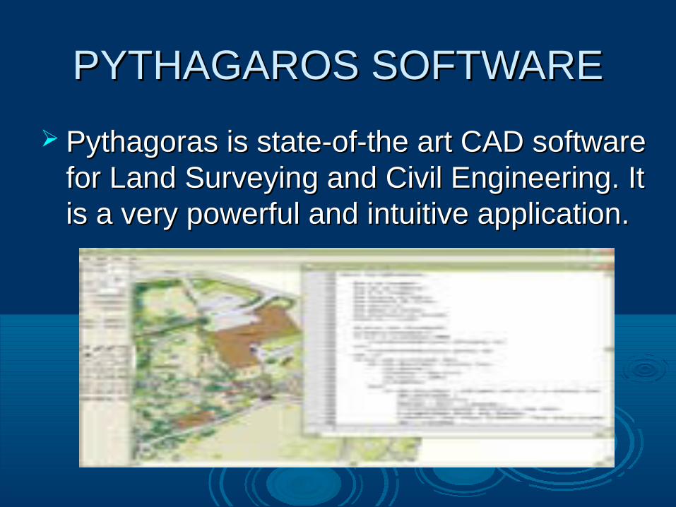
PYTHAGAROS SOFTWAREPYTHAGAROS SOFTWARE
Pythagoras is state-of-the art CAD software Pythagoras is state-of-the art CAD software for Land Surveying and Civil Engineering. It for Land Surveying and Civil Engineering. It is a very powerful and intuitive application. is a very powerful and intuitive application.

Integrates sophisticated calculation and powerful Integrates sophisticated calculation and powerful drawing functions Ground modeling, Road design, drawing functions Ground modeling, Road design, Contouring, Volume Calculations, Image management Contouring, Volume Calculations, Image management
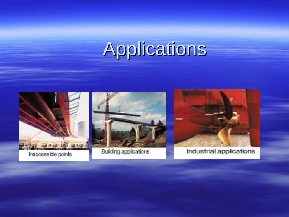
ApplicationsApplications

A Smart View Of Pentax Total Station

Other products from pentax
• Auto focus levels• Auto levels• Laser levels
•Electronic theodilitesElectronic theodilites

Thank you for your attention!